South West Adventure to see Jessica Cox, with Andrew.
11th-17th of July 2020.
Oshkosh was cancelled in 2020, and I was itching to get out for a big Ercoupe trip again. A call from Jessica, asking for advice on long cross countries turned into an opportunity for Andrew and I to help Jessica out by ferrying her Ercoupe to Washington DC. As it turned out, I didn't get to make the full trip to DC, although I joined along as far as Texas. Still a big adventure!
I set out early on Saturday the 11th, and made it down to Twentynine Palms, CA by lunchtime, stopping for fuel at Porterville. All was good, and it was a nice smooth flight until approaching Yucca Valley where the heat of the day had kicked in, and the air was getting very bumpy. The heat of Twentynine Palms was pretty severe as well, 111 F as I got out of the Coupe! My brother Rich, and Dana, picked me up, and I got to enjoy a 'distanced' dinner with my family that evening.
Back at the KTNP airport early on Sunday, getting ready to depart, I found that the fuel dispenser wasn't working. I needed fuel. I calculated that I had enough to get to Bermuda Dunes (in the opposite direction), but not enough for my intended destination of Buckeye (KBXK). OK, you've got to be flexible with your plans, so I took off in the wrong direction for my route. However, once I got up to 1,000' AGL, I realised I had a strong headwind, which meant a good tail wind in the opposite direction. A quick look at the charts showed I had enough to safely get to Blythe, which was a much better fuel stop on my original route. So I turned around, and enjoyed a lovely flight over Joshua Tree National Park, into Blythe.
Blythe was a good fuel stop, with friendly staff. I would have liked to explore the airport a bit longer, it was an old B-24 and B-17 training base in WW2.
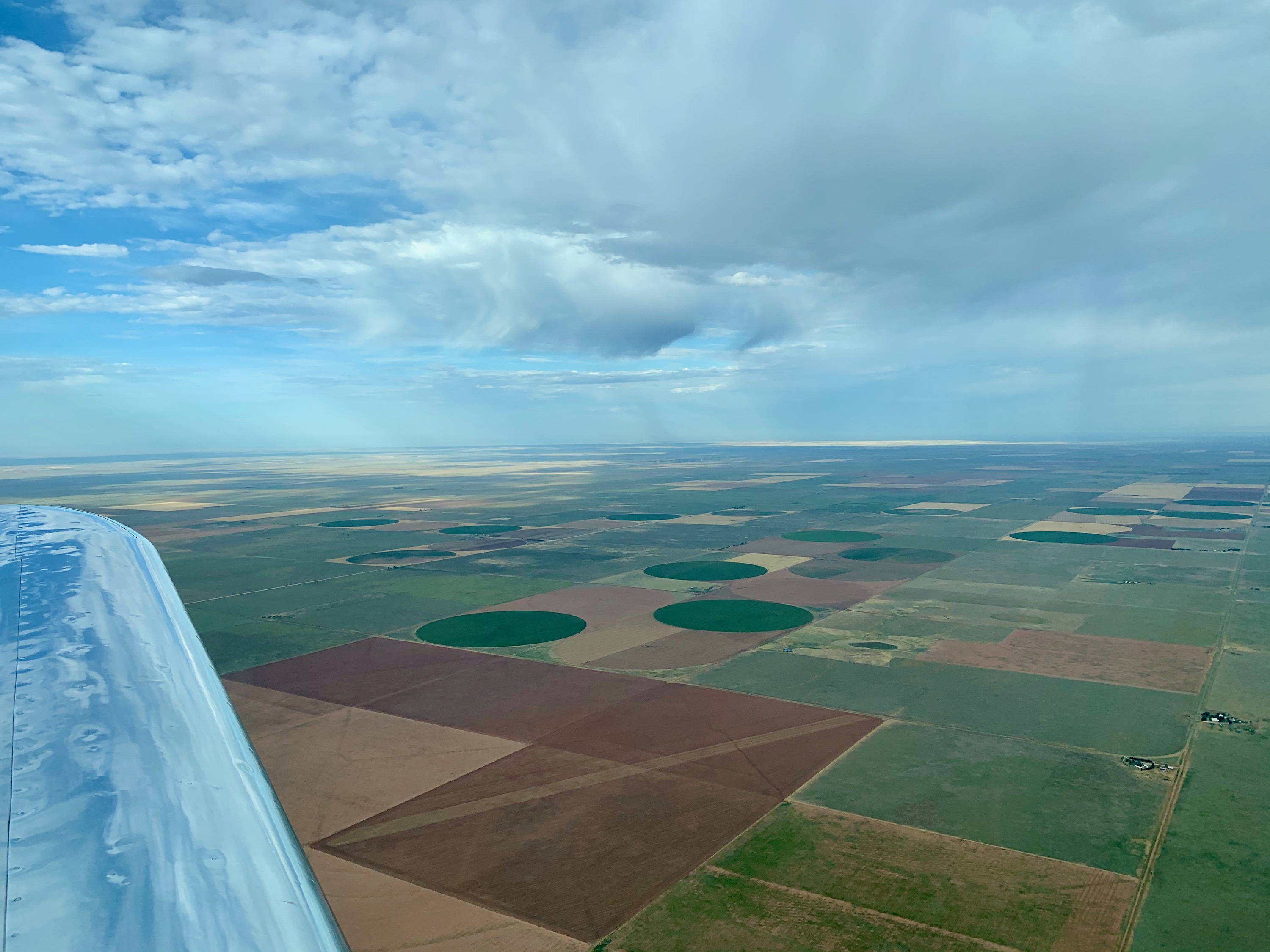
After departing Blythe, I headed East, following I-10. I crossed The Colorado river, which was nice; I've now crossed both the Mississippi and the Colorado in 805. After an hour or so of following I-10, I started to turn South a bit. The terrain seemed a little more inhabited, and smaller roads gave me options, so I turned direct to the Tucson area. Passing the Eagle Mountain Wilderness Area was quite impressive, and there were lots of small GA aircraft showing up on the ADS-B. More than I've ever seen outside of Oshkosh during AirVenture.
Trip Data
| Overview
| |
| Flight Hours | 30.45 |
| Logged Hours | 33.32 |
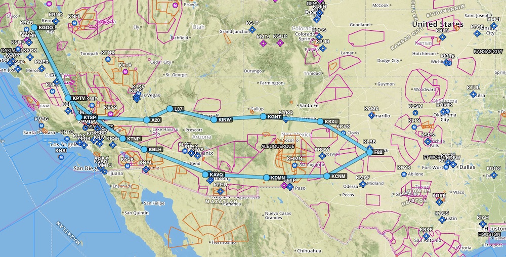
| Nautical Miles | 2,500.00 |
| Statute Miles | 2,876.95 |
| Total Gallons | 141.62 |
| MPG | 20.31 |
| GPH | 4.65 |
| Total Fuel Cost | $615.59 |
| Oil Used | 2 qts |
ICAO / IATA /
FAA |
City |
State |
Fuel Added
(USG) |
Fuel Cost
(USD) |
Nautical
Miles |
Statute
Miles |
Flight
Minutes |
Logged
Minutes |
| KGOO |
Nevada County |
CA |
|
|
|
|
|
|
| KPTV |
Porterville |
CA |
13.92 |
65.42 |
224 |
258 |
165 |
179 |
| KTNP |
Twentynine Palms |
CA |
|
|
213 |
245 |
146 |
156 |
| KBLH |
Blythe |
CA |
15 |
72.66 |
79 |
91 |
50 |
61 |
| 57AZ |
La Cholla Airpark |
AZ |
|
|
213 |
245 |
153 |
159 |
| KAVQ |
Marana |
AZ |
13.66 |
62.84 |
17 |
20 |
12 |
22 |
| KDMN |
Deming |
NM |
10.6 |
44.52 |
196 |
226 |
135 |
144 |
| KCNM |
Caverns City |
NM |
9.97 |
48.85 |
200 |
230 |
141 |
154 |
| F82 |
Lubbock |
TX |
8.7 |
31.76 |
142 |
163 |
108 |
115 |
| KSXU |
Santa Rosa |
NM |
12.84 |
63.56 |
173 |
199 |
165 |
172 |
| KGNT |
Grants Milan |
NM |
9.41 |
39.05 |
167 |
192 |
131 |
132 |
| KINW |
Winslow |
AZ |
9.62 |
37.90 |
163 |
188 |
123 |
147 |
| L37 |
Grand Canyon Caverns |
AZ |
|
|
138 |
159 |
106 |
122 |
| A20 |
Sun Valley |
AZ |
13.1 |
51.74 |
81 |
93 |
62 |
74 |
| KTSP |
Tehachapi |
CA |
11.7 |
44.23 |
211 |
243 |
149 |
165 |
| KGOO |
Nevada County |
CA |
13.1 |
53.06 |
283 |
326 |
181 |
197 |
| Totals |
|
|
141.62 |
615.59 |
2500 |
2877 |
1827 |
1999 |
Trip Pictures
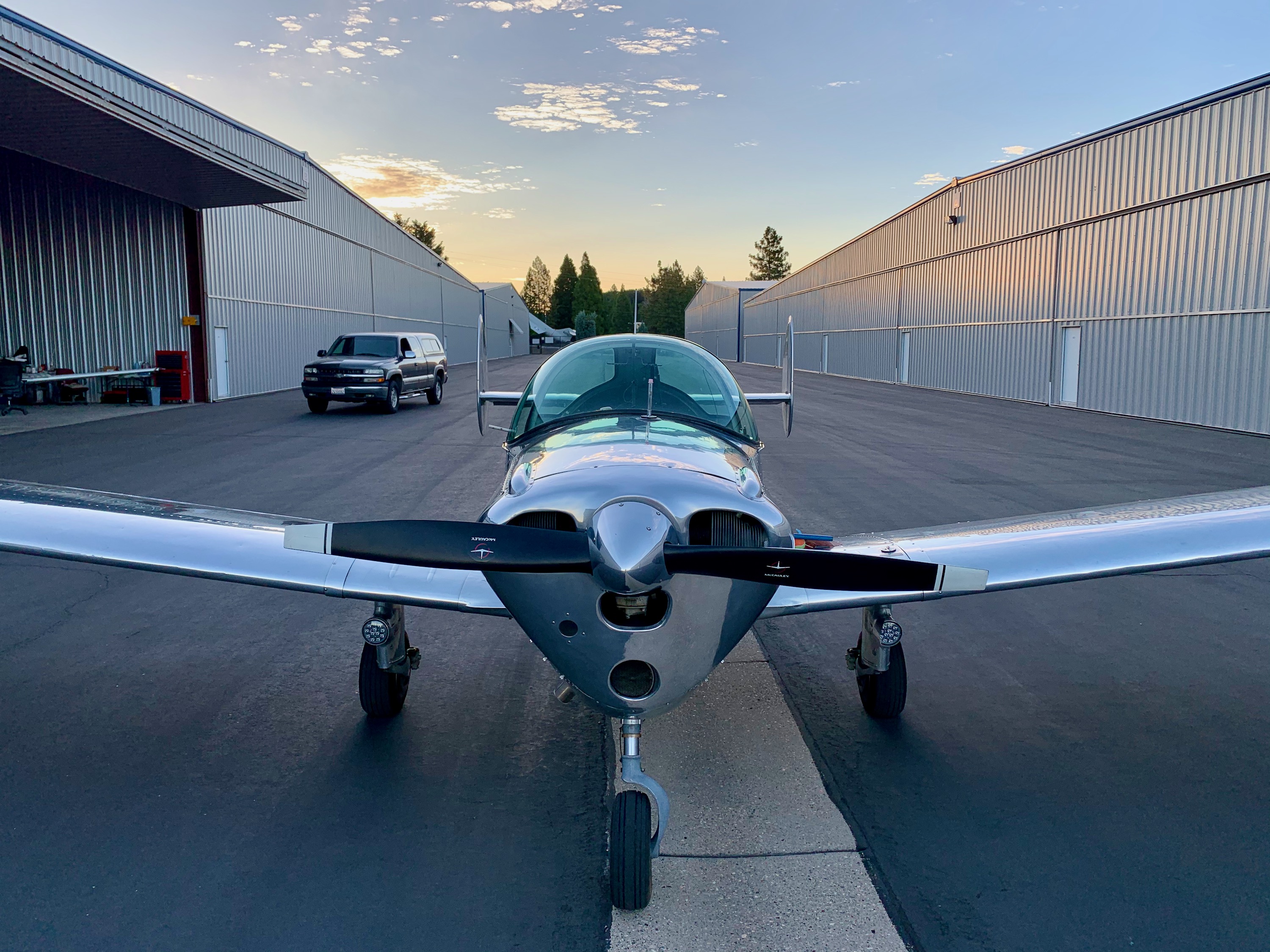
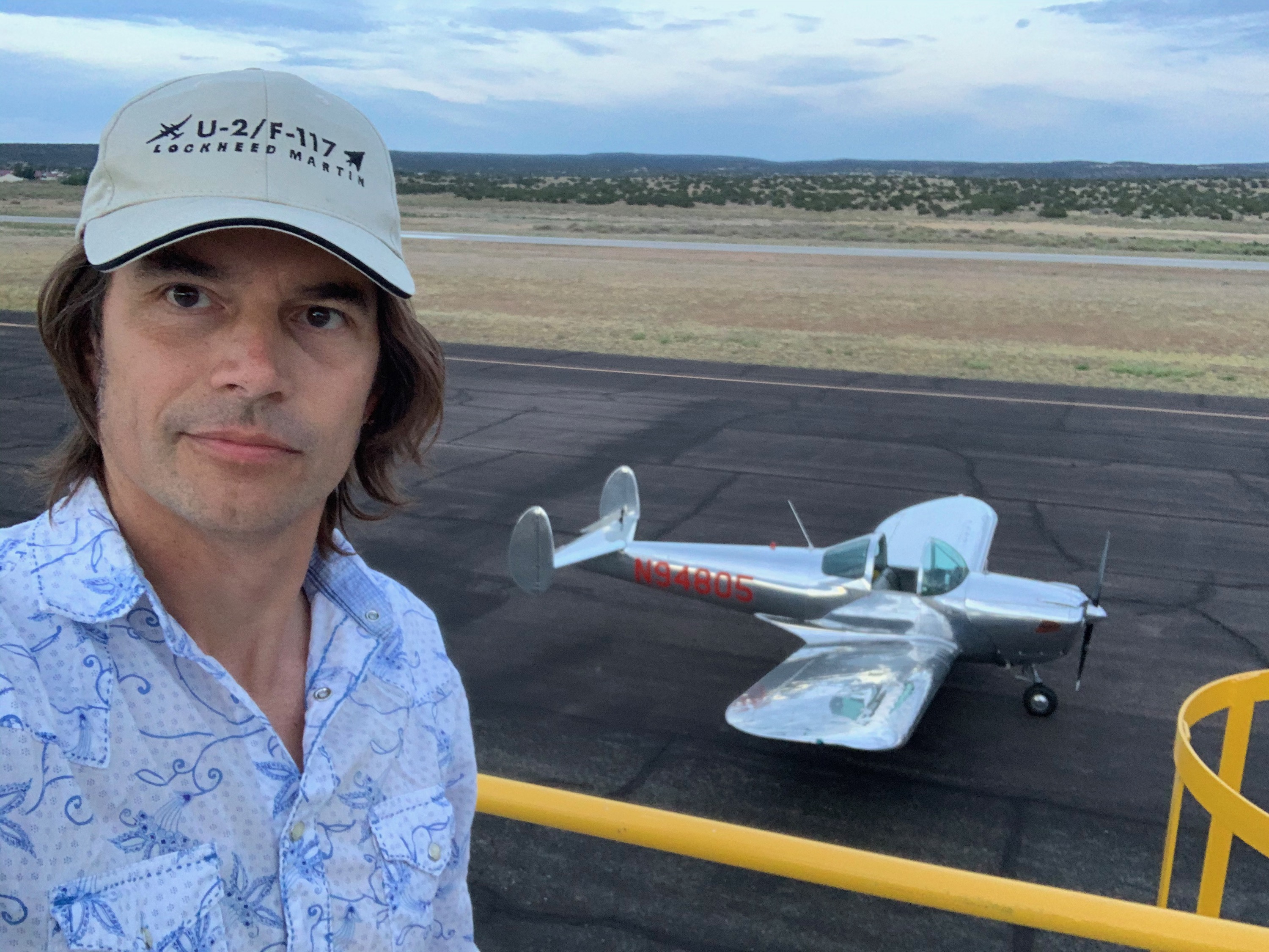
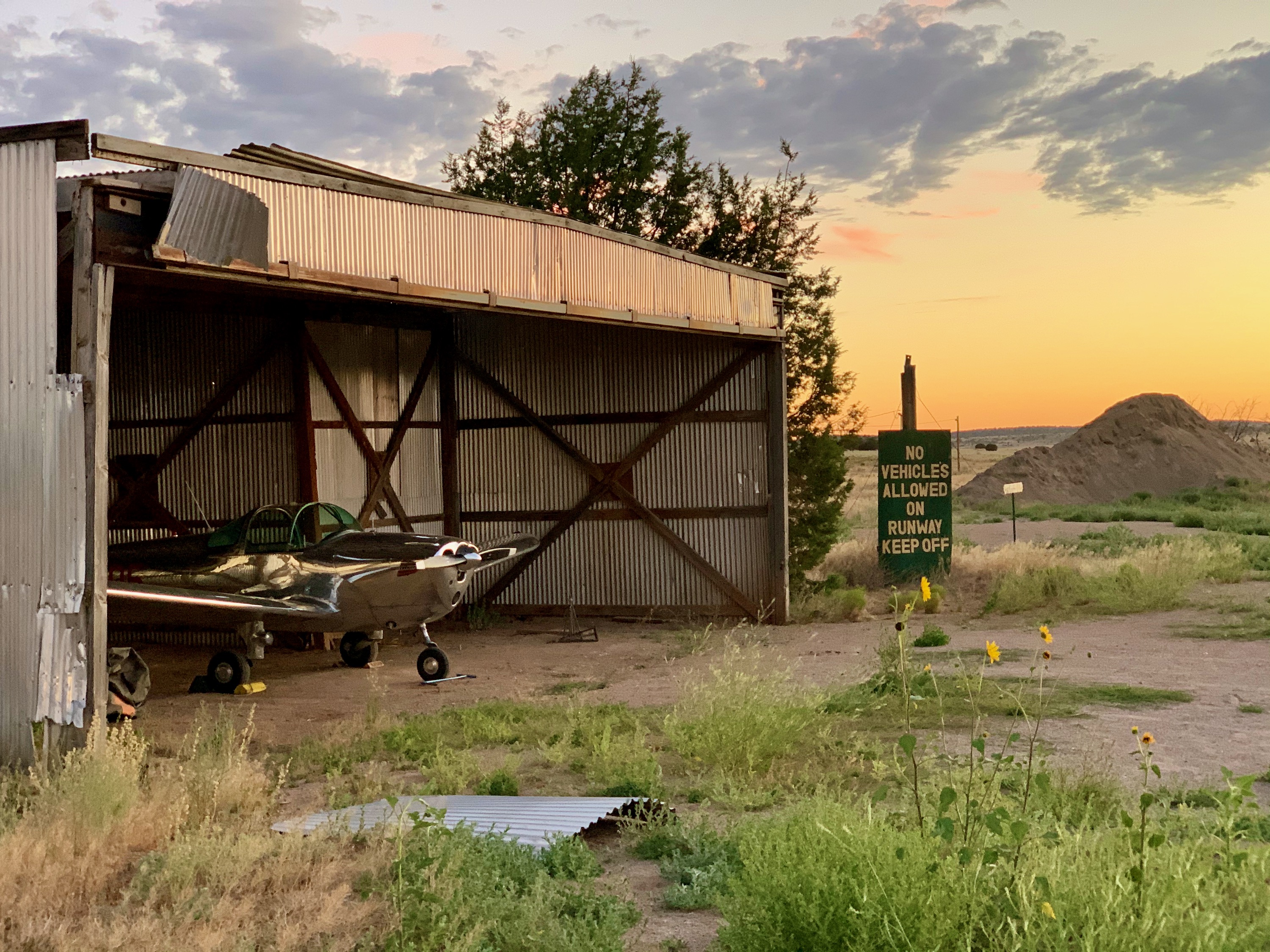
Getting Ready to Leave
06:05am on the 11th of July, 2020. Outside my hangar at KGOO (Nevada County Airport, Califorinia), ready for the trip to Arizona and on to DC!
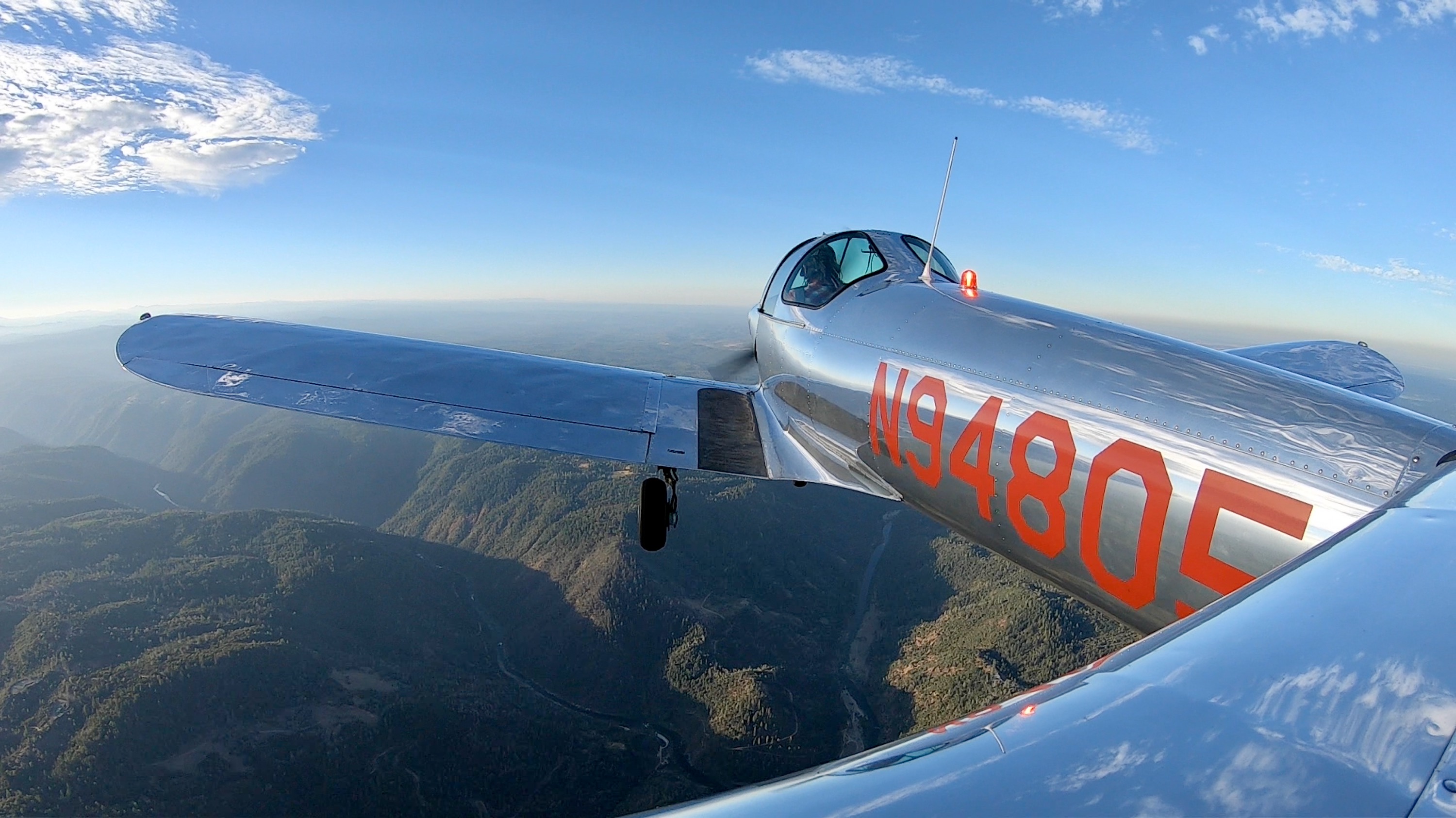
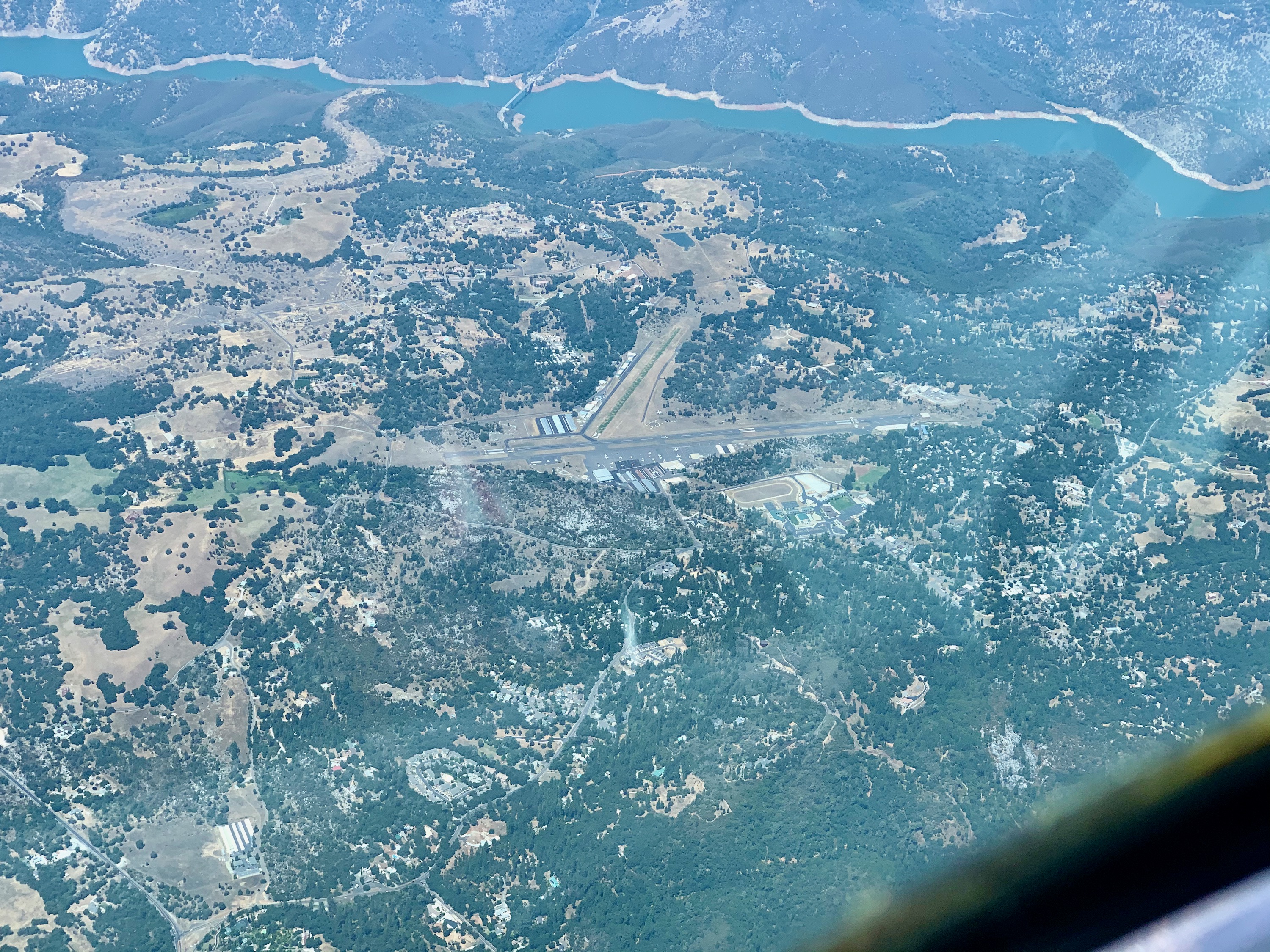
Nevada County, California
The valleys and rivers of the Sierra foot hiils.
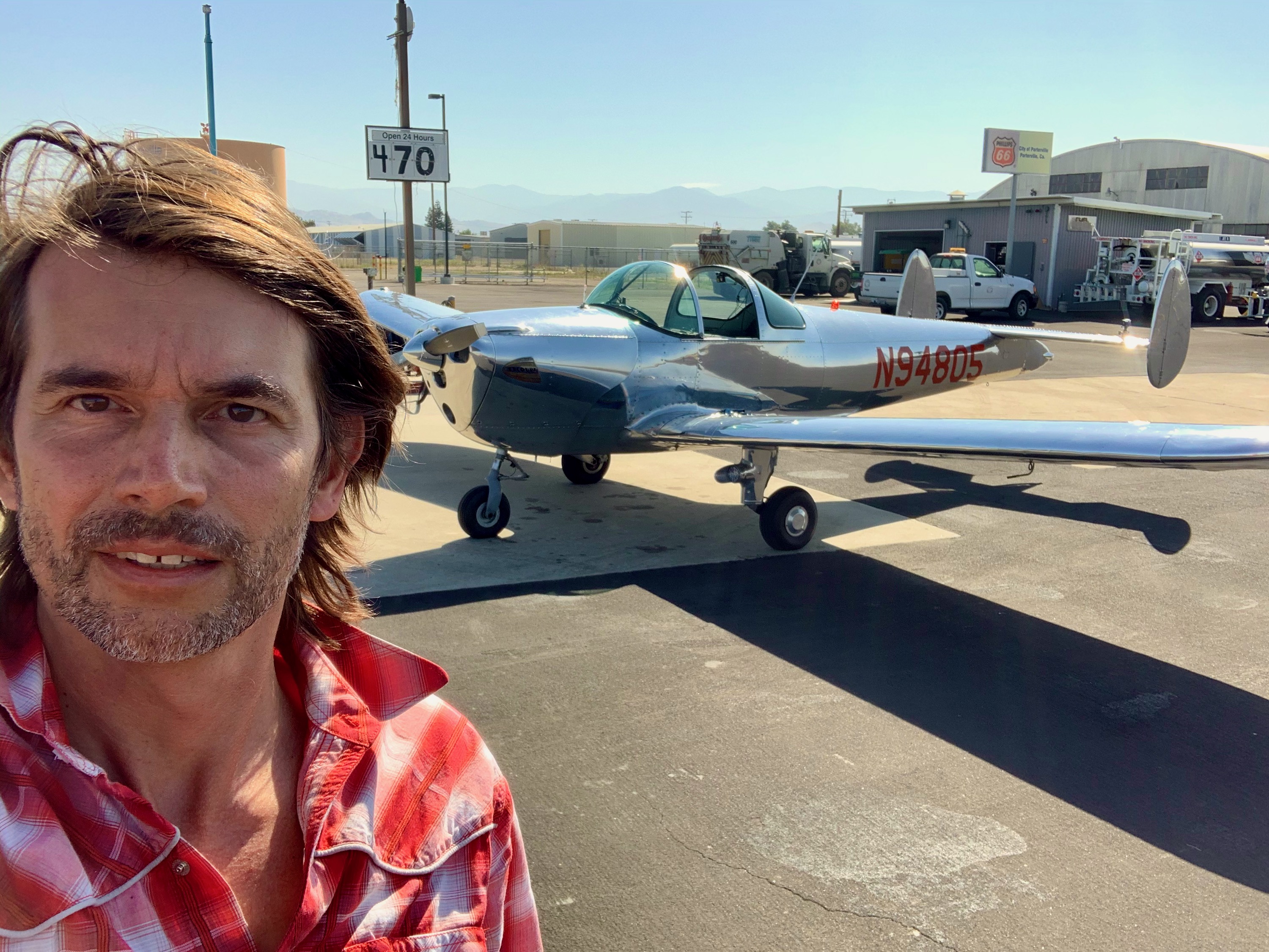
Porterville, California
First fuel stop was at Porterville, California. Met a nice guy with a polished Bonanza who recognized 805 from YouTube!
Golden Hills
Heading down California's central valley, hugging the West side of the Sierra foothills. By the time you get around Fresno, the trees disappear from these lower hills.
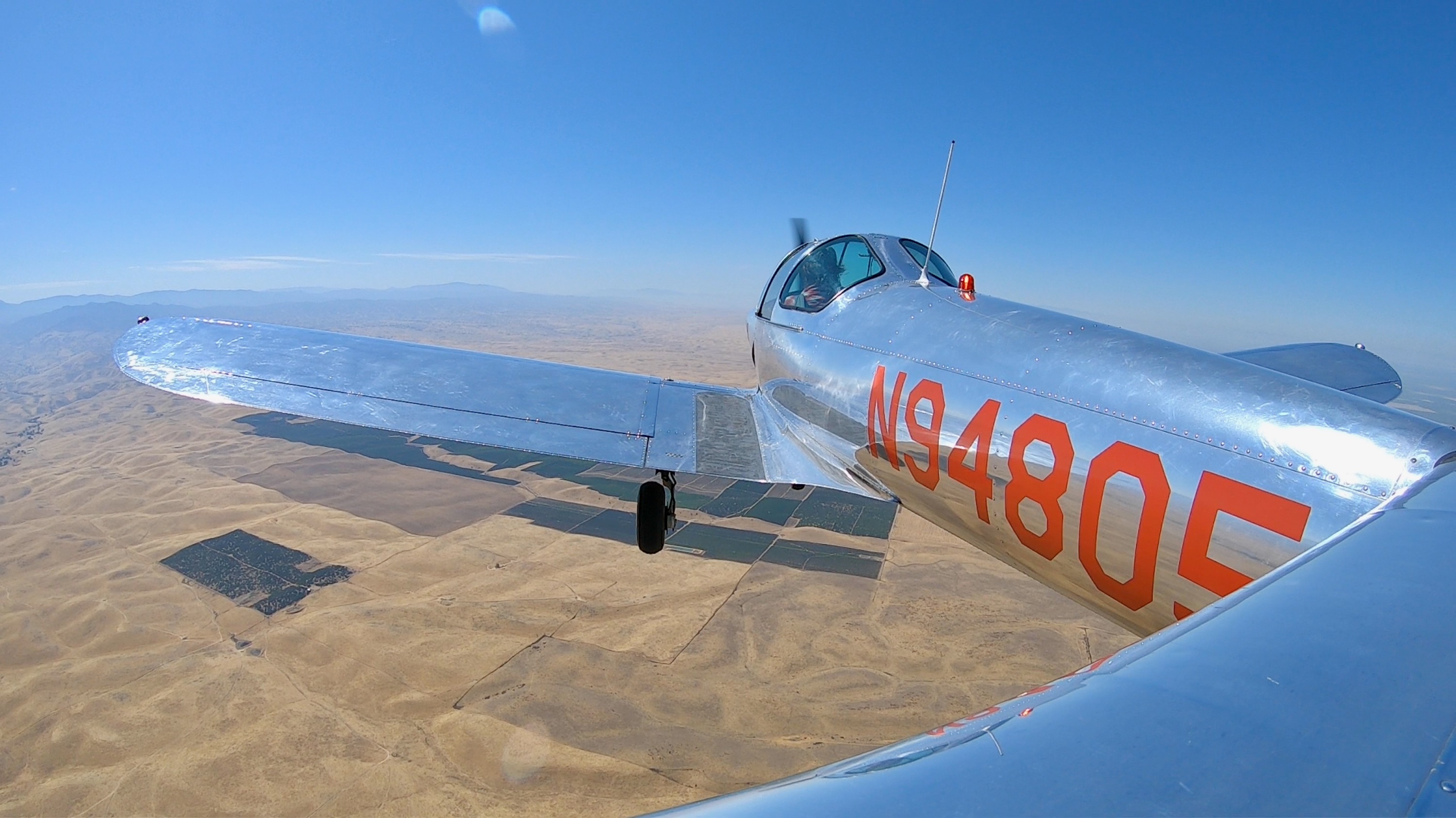
Edwards AirForce Base, California
After passing Bakersfield, and flying over the Tehachapi pass, you enter the Mojave desert. Just afer entering the valley, you pass Edwards AFB. Be careful not to stray into the restricted airspace around it.
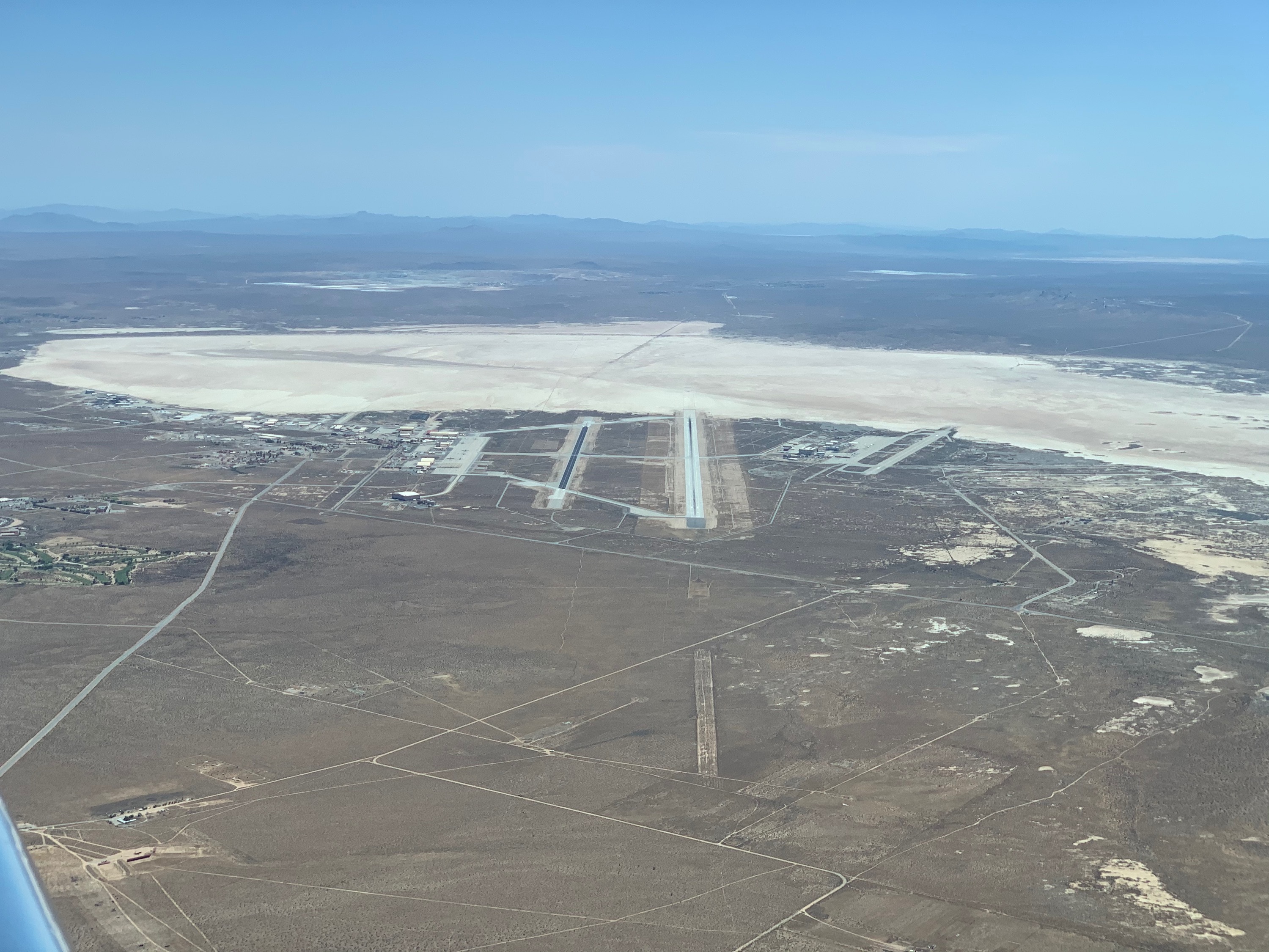
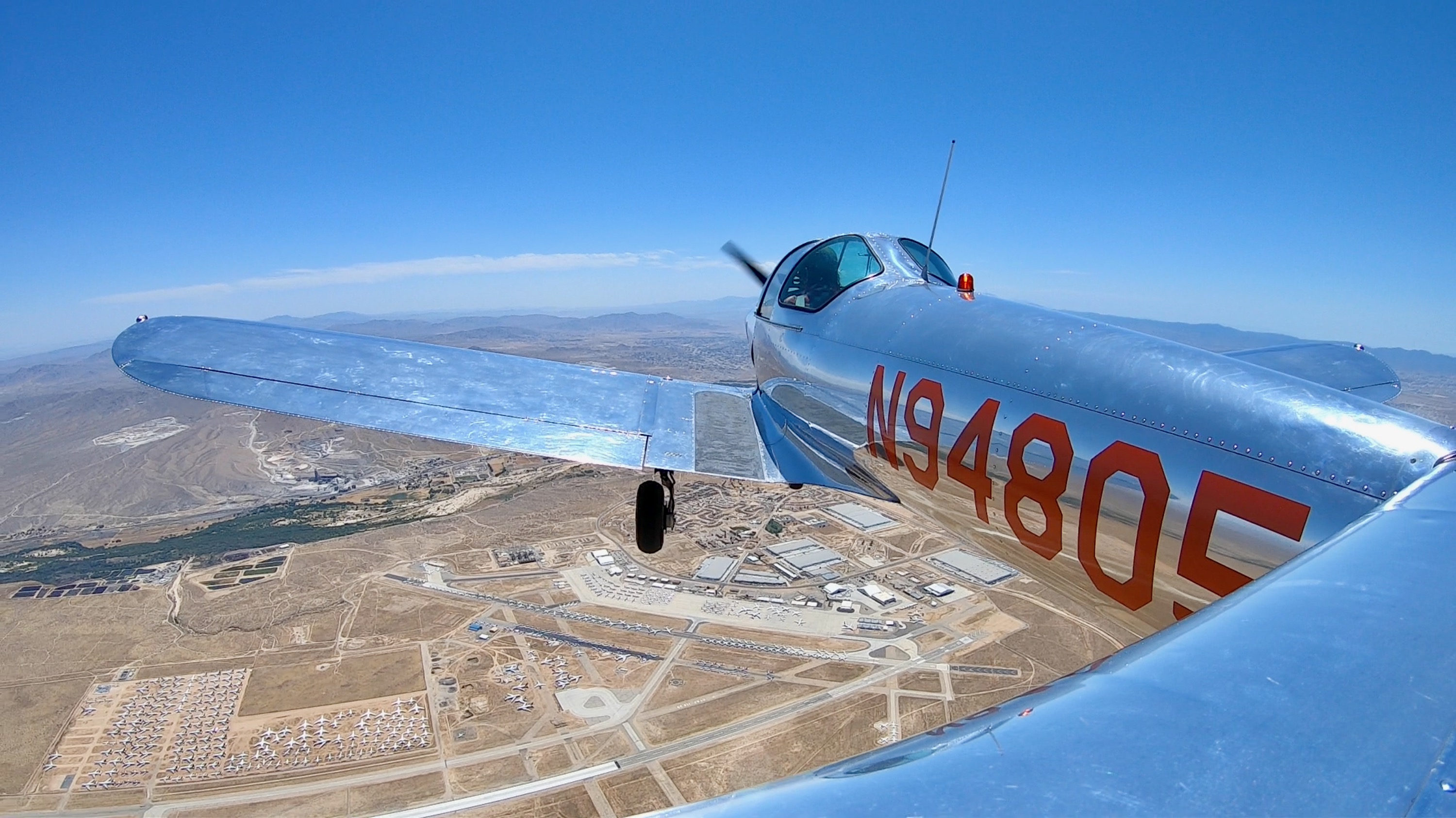
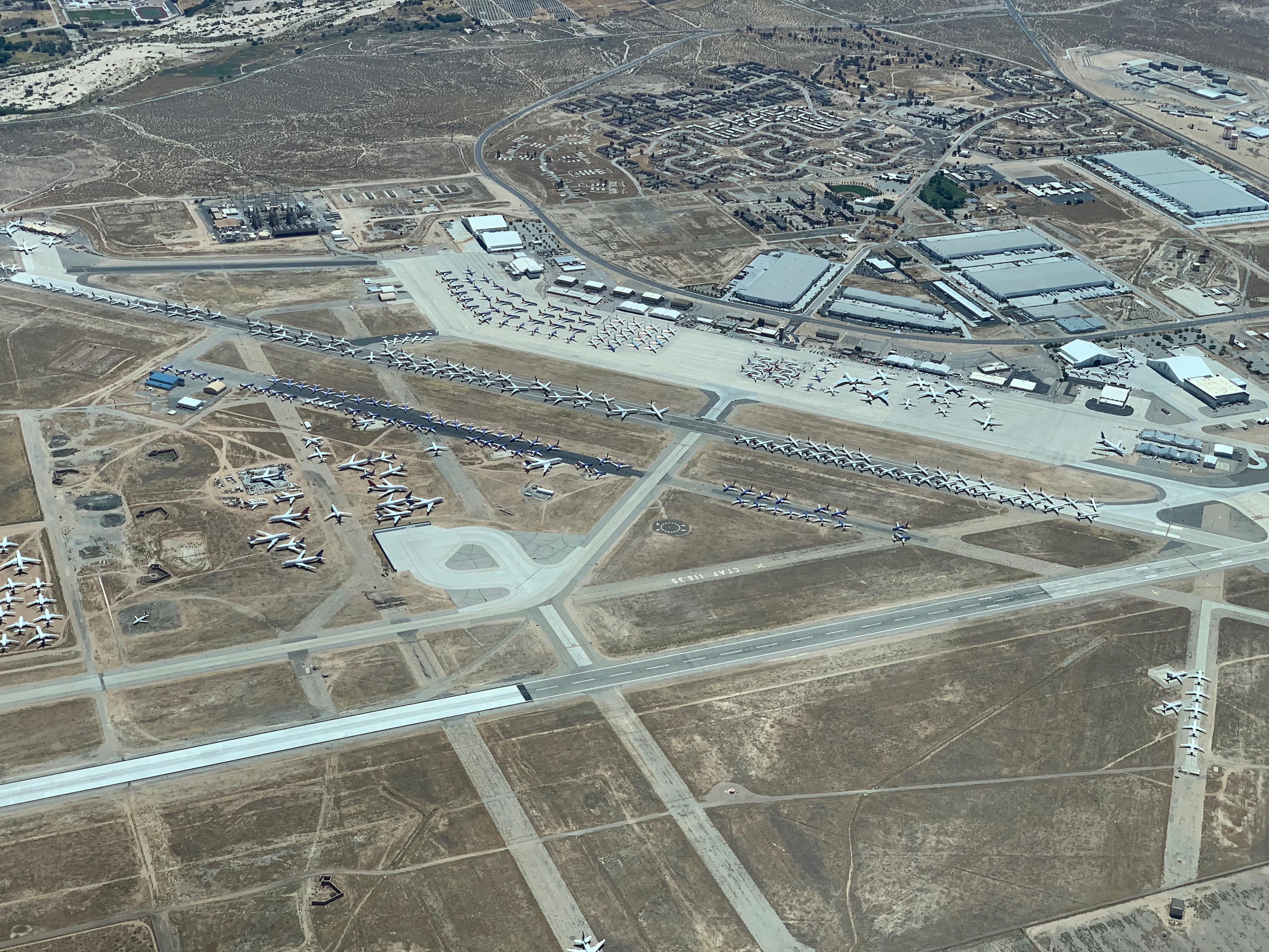
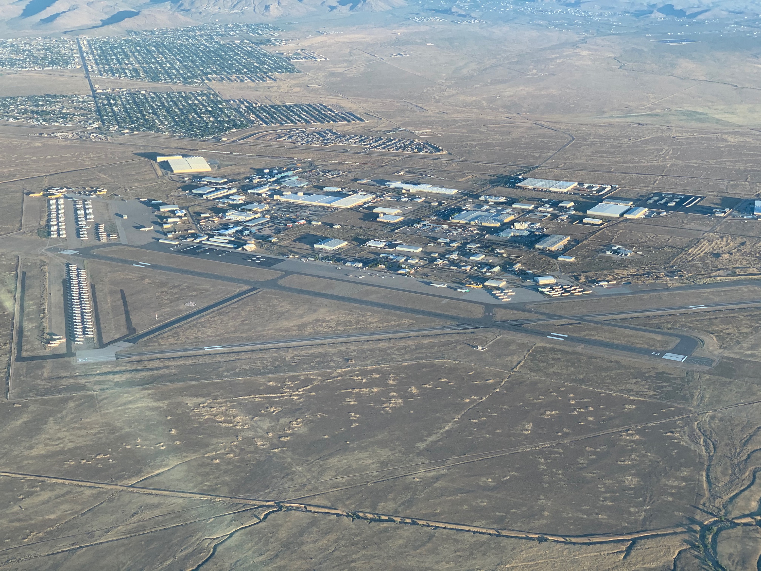
Victorville
Victorville Airport, also known as the Southern California Logistics Airport, is primarily a freight and aircraft storage facility.
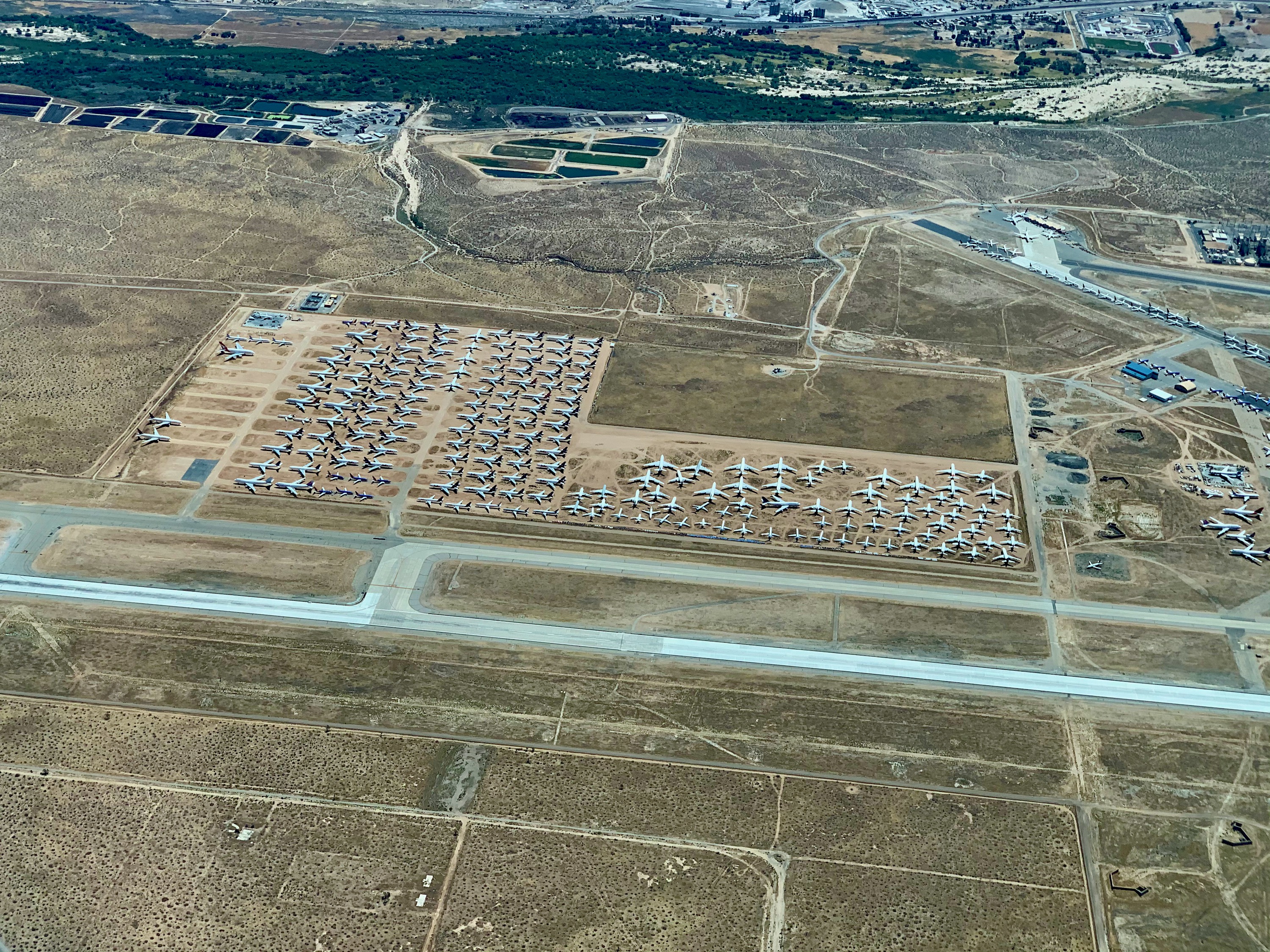
Victorville
There are currently many commericial airliners stored here.
Other Desert Cities
Twentynine Palms, California. Flying over my brother's house.
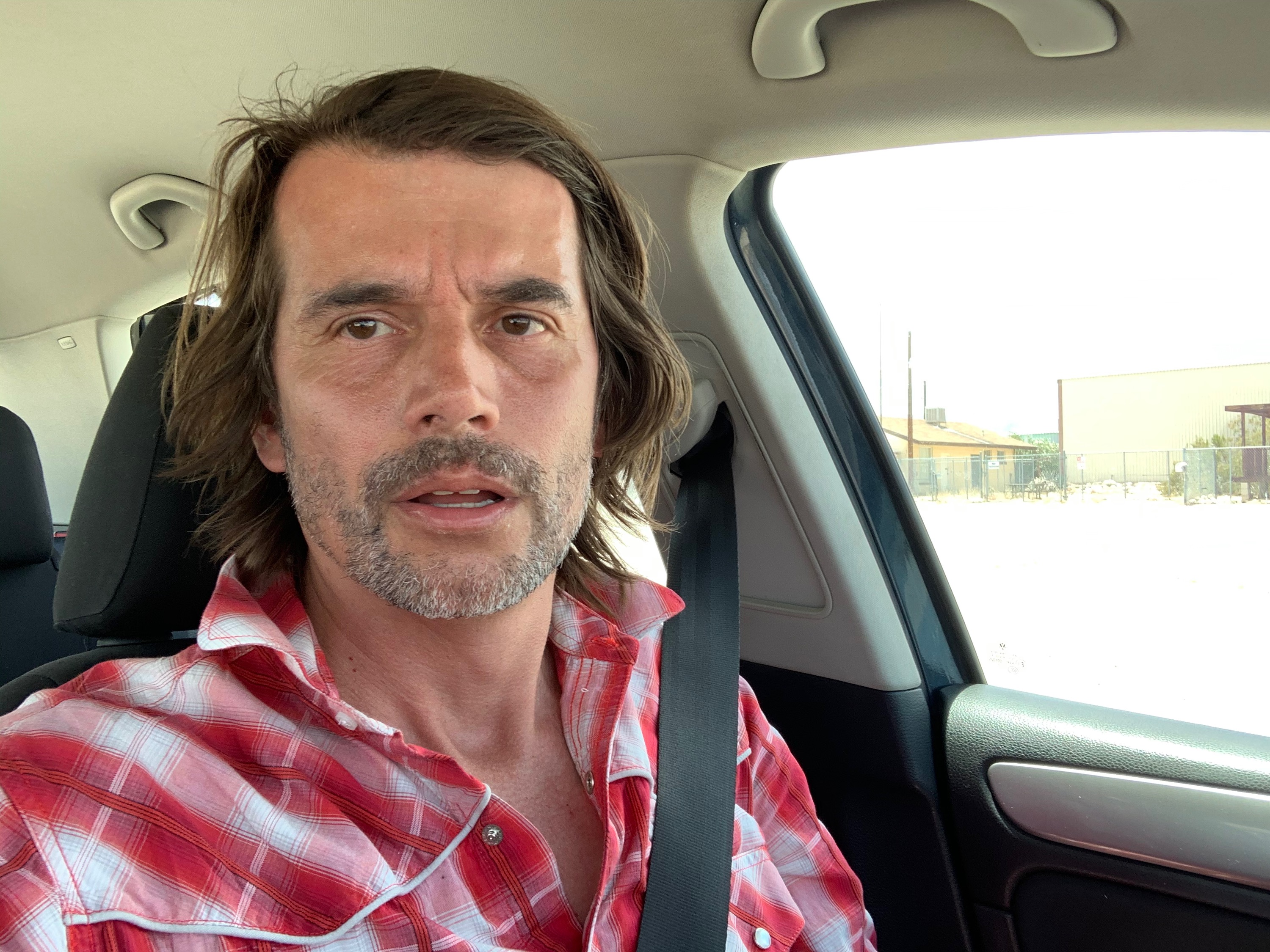
Really Hot!
This was how I looked after parking the Coupe and getting into my car at Twentynine Palms, my final stop on the first day. It was 111 degrees F outside!
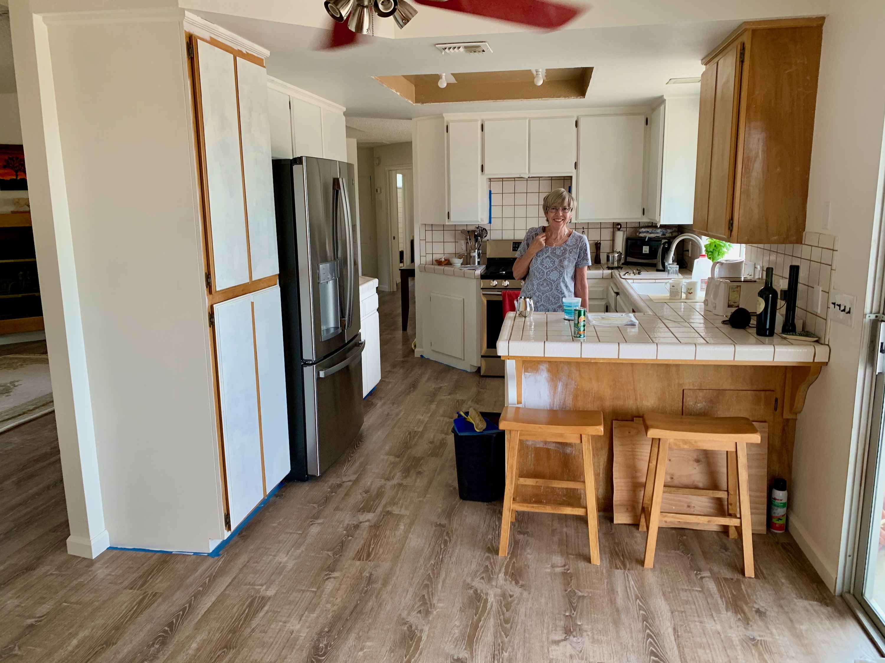
New House
Mum in her new kitchen (work still in progress!).
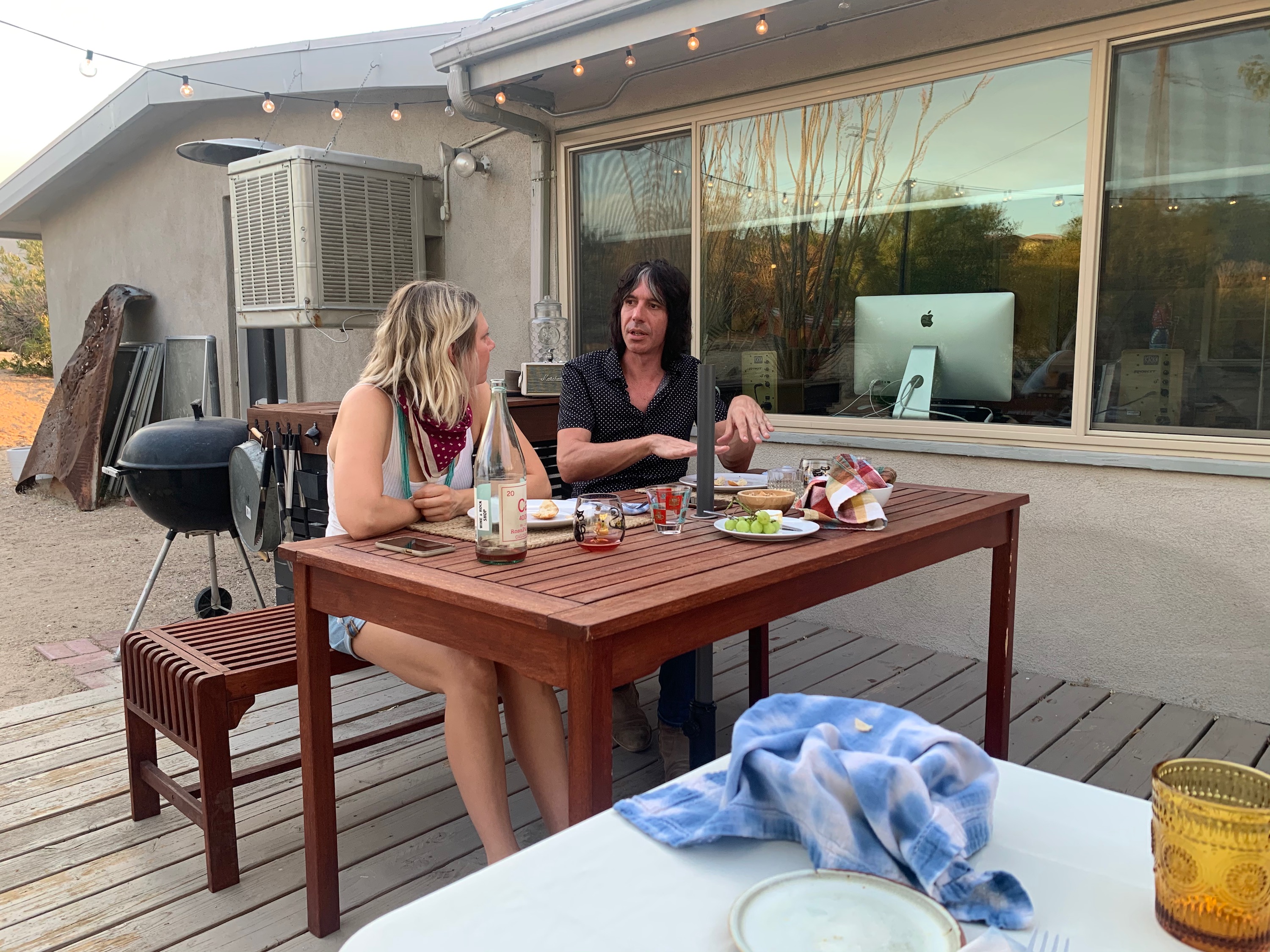
Distanced Dinner
Mum and Dad.
Distanced Dinner
Dana and Rich.
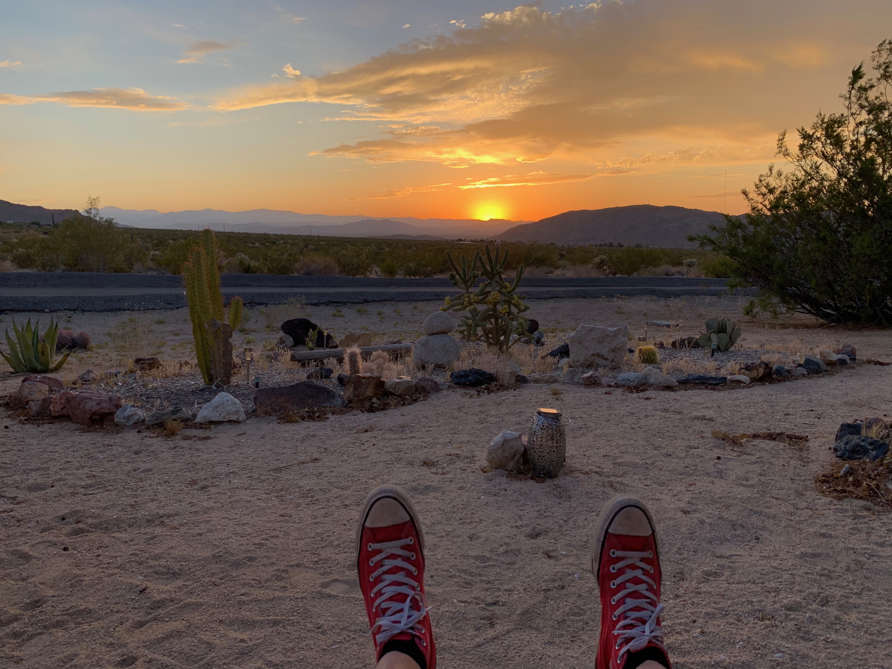
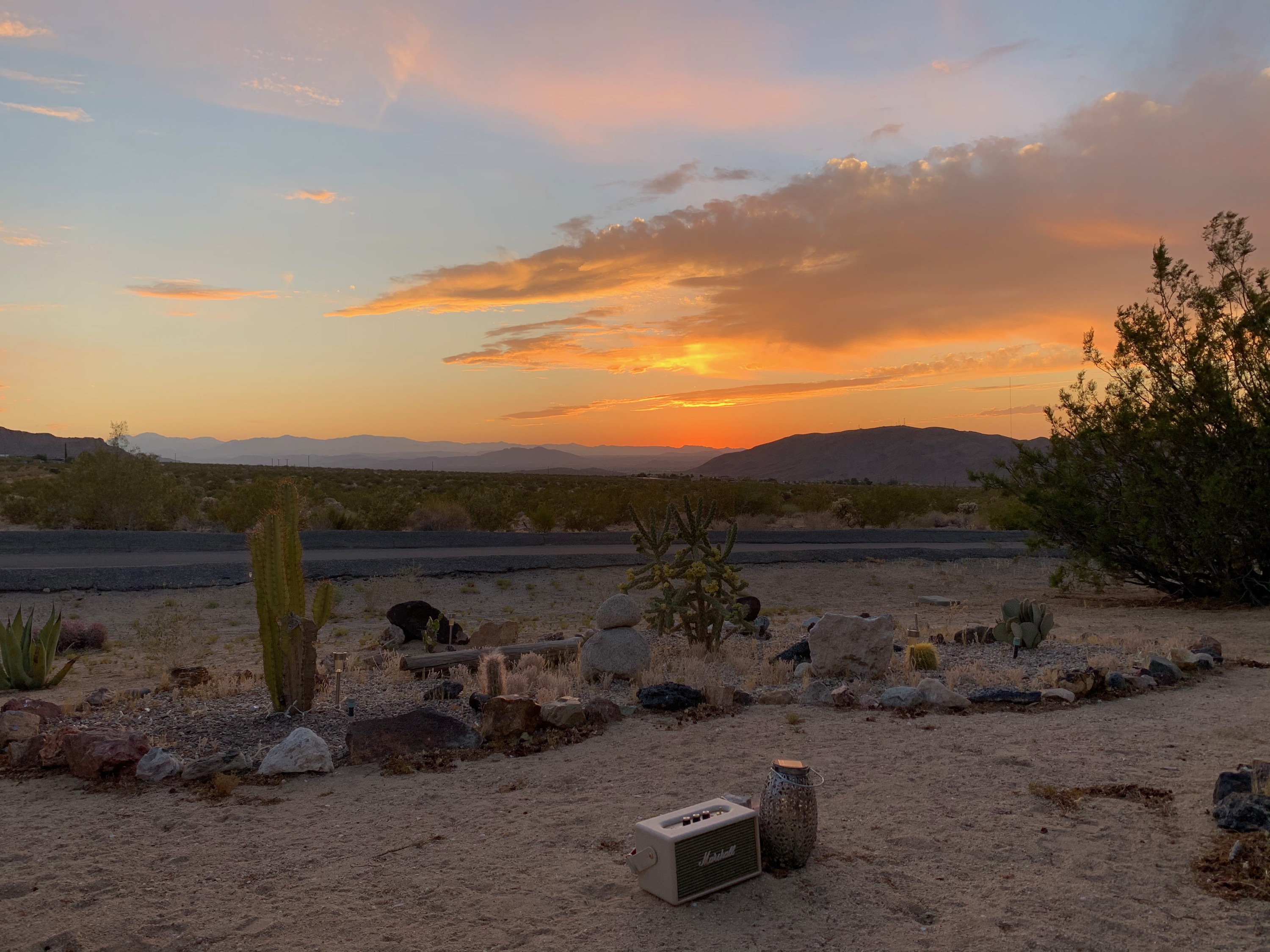
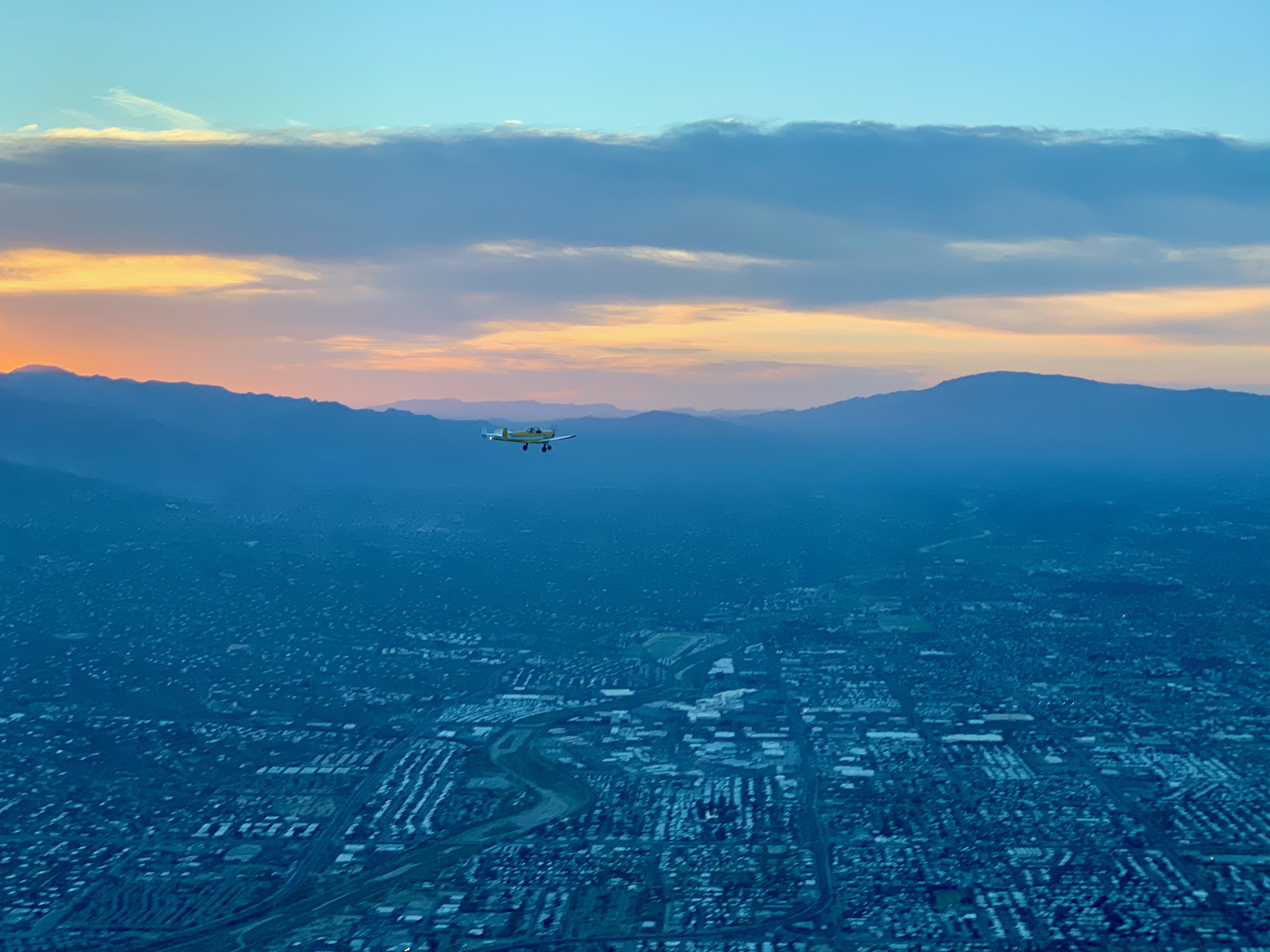
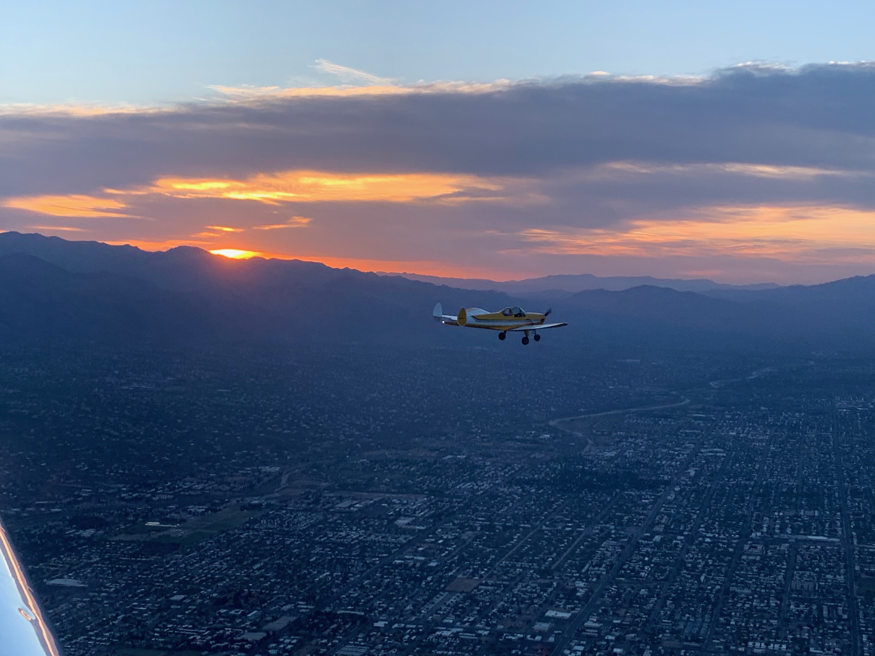
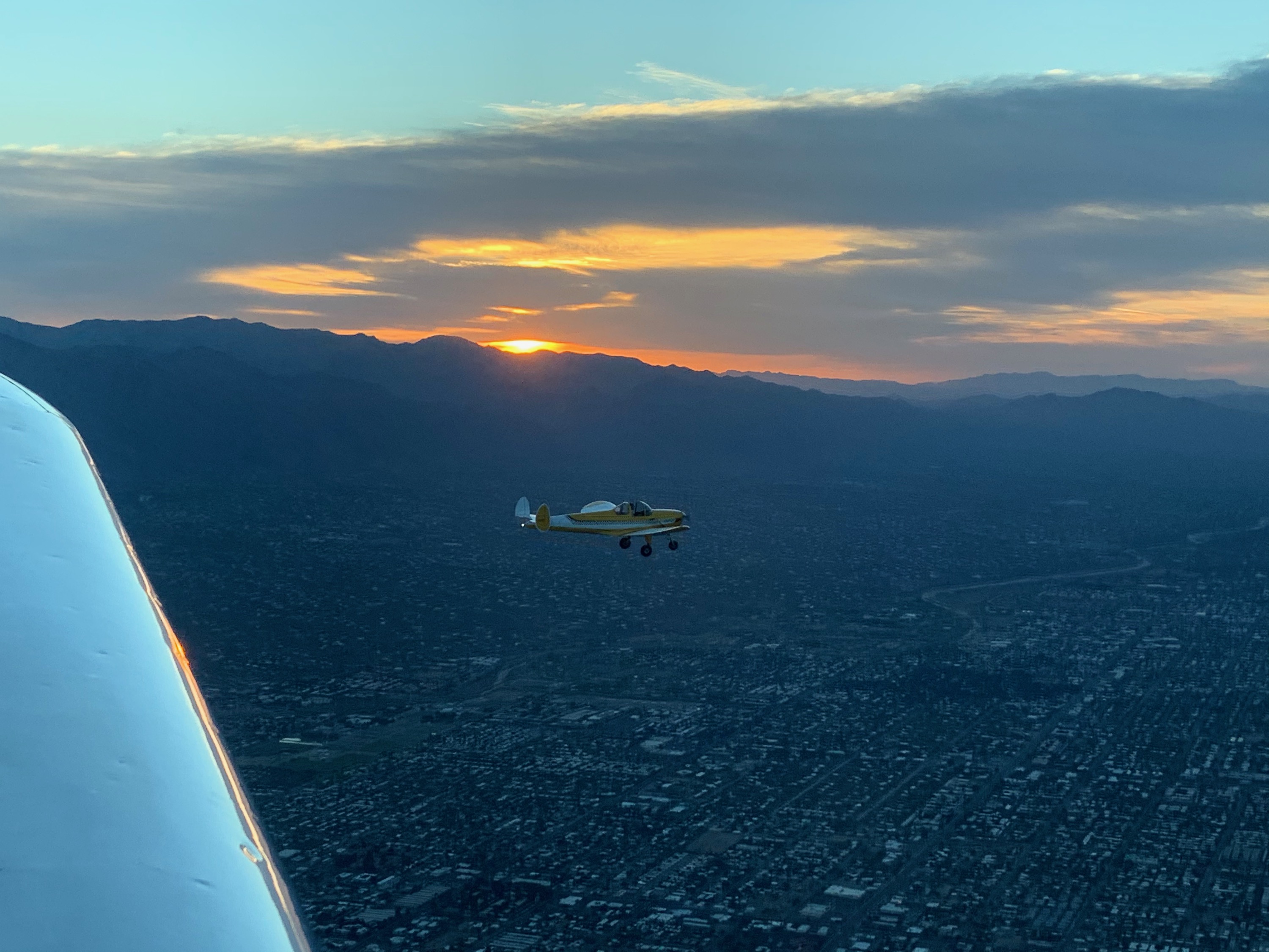
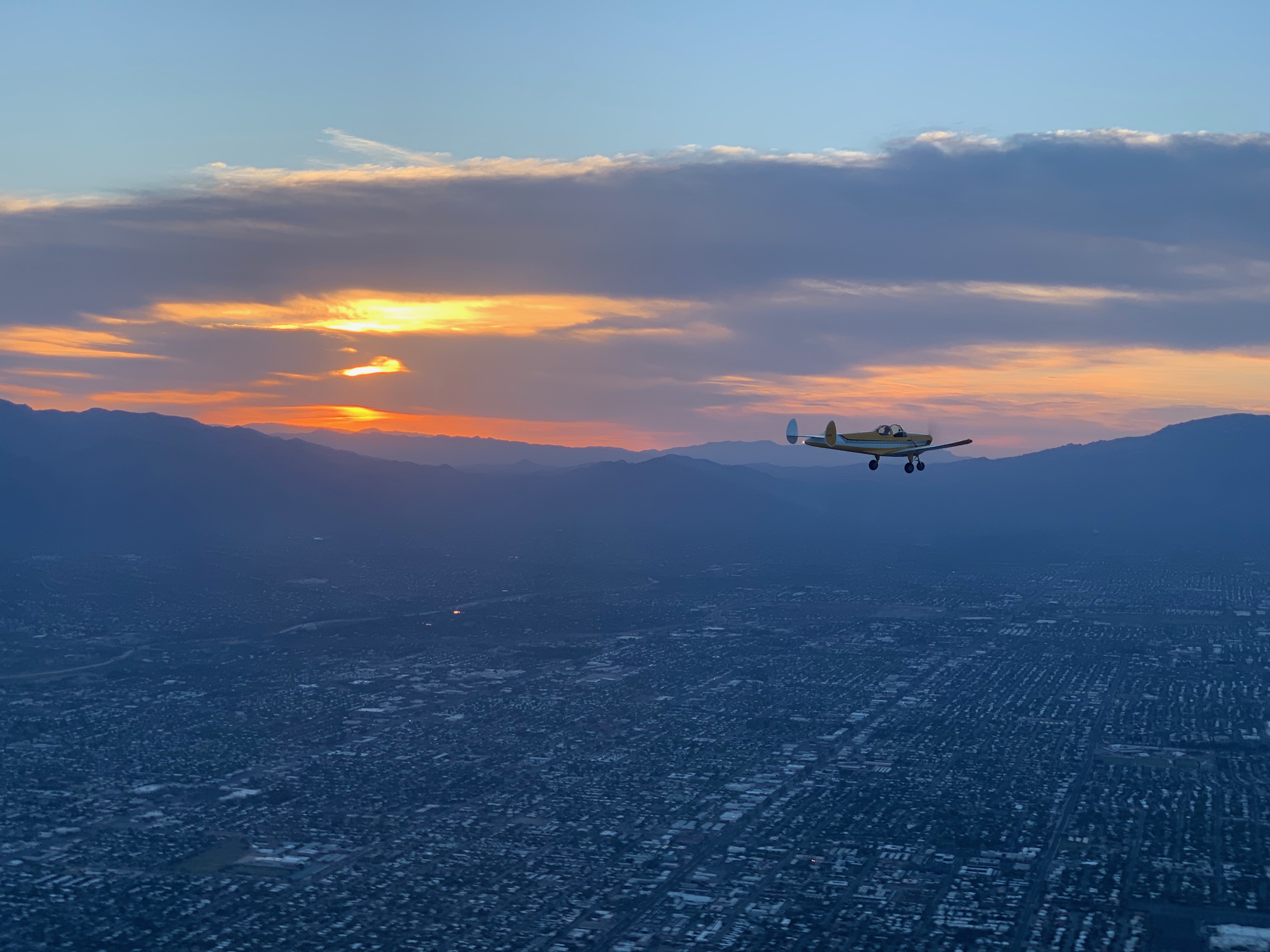
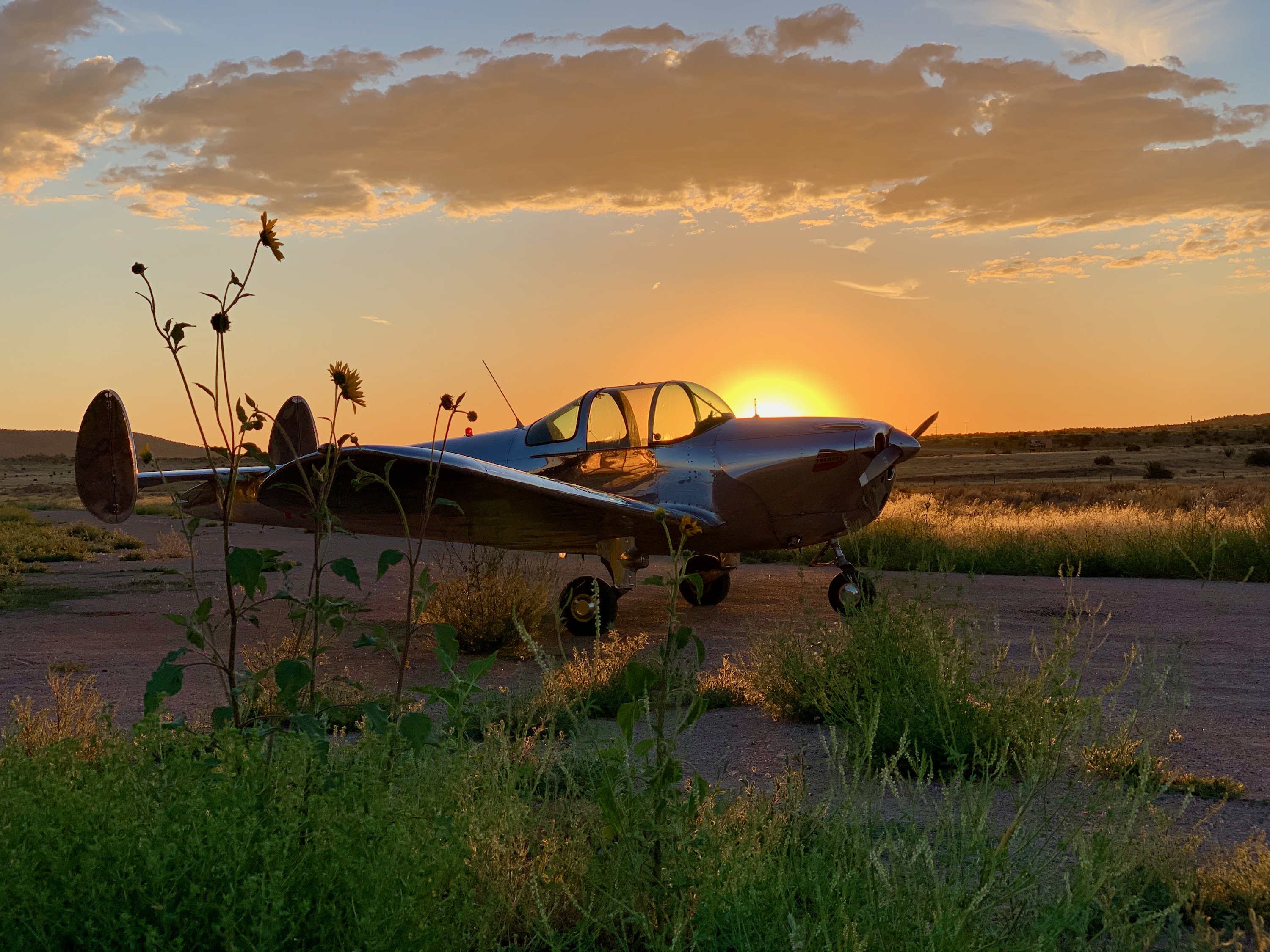
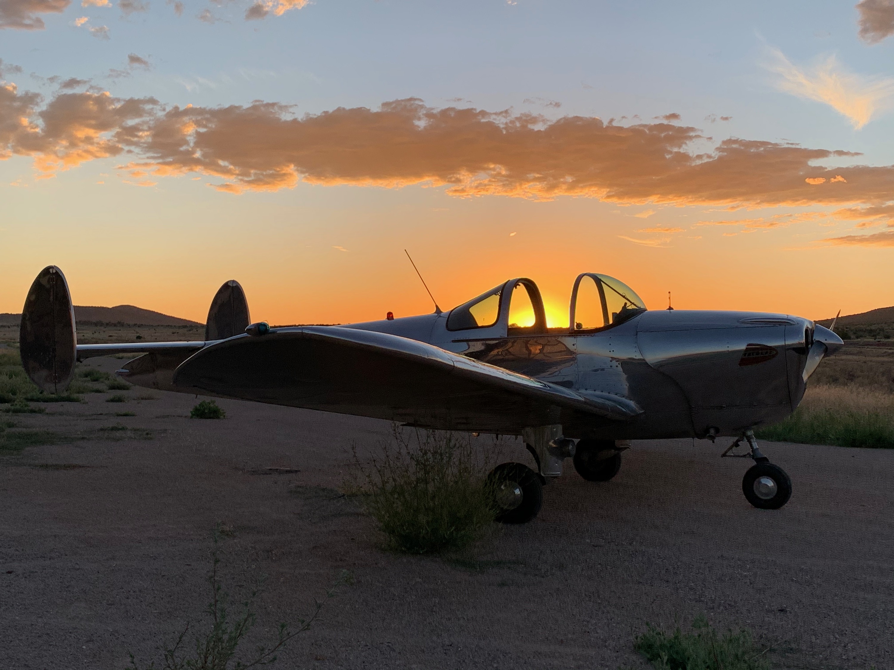
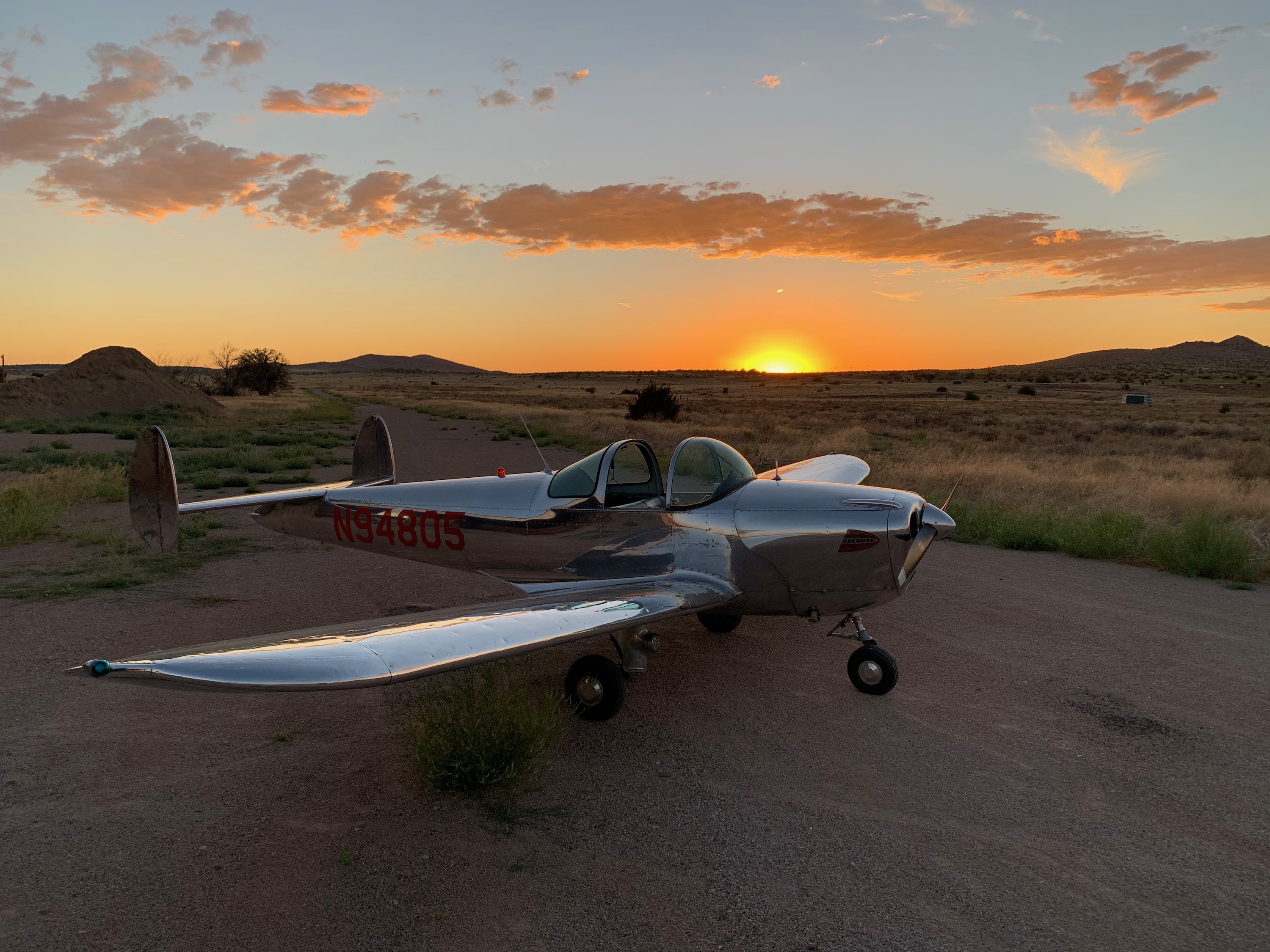
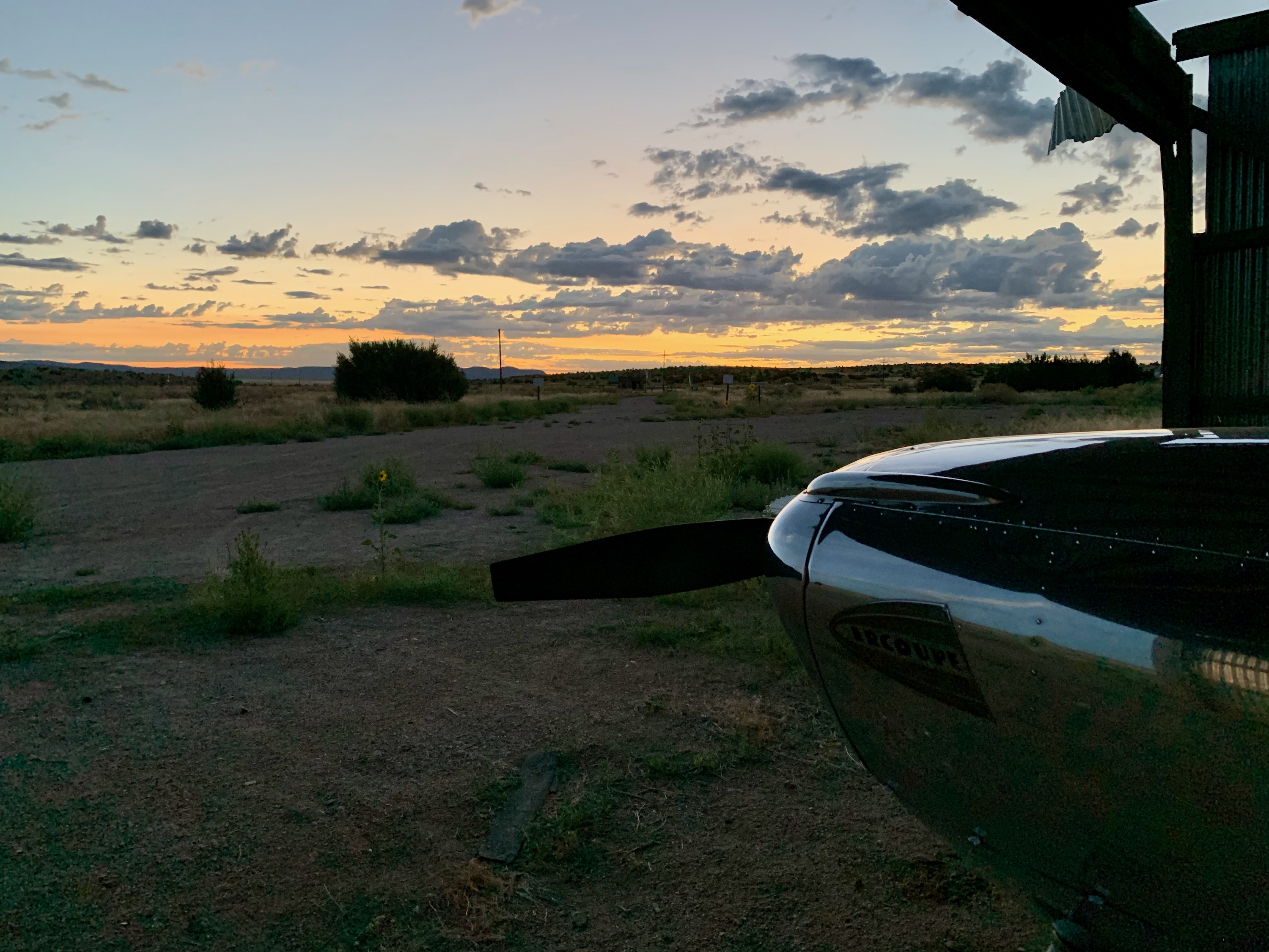
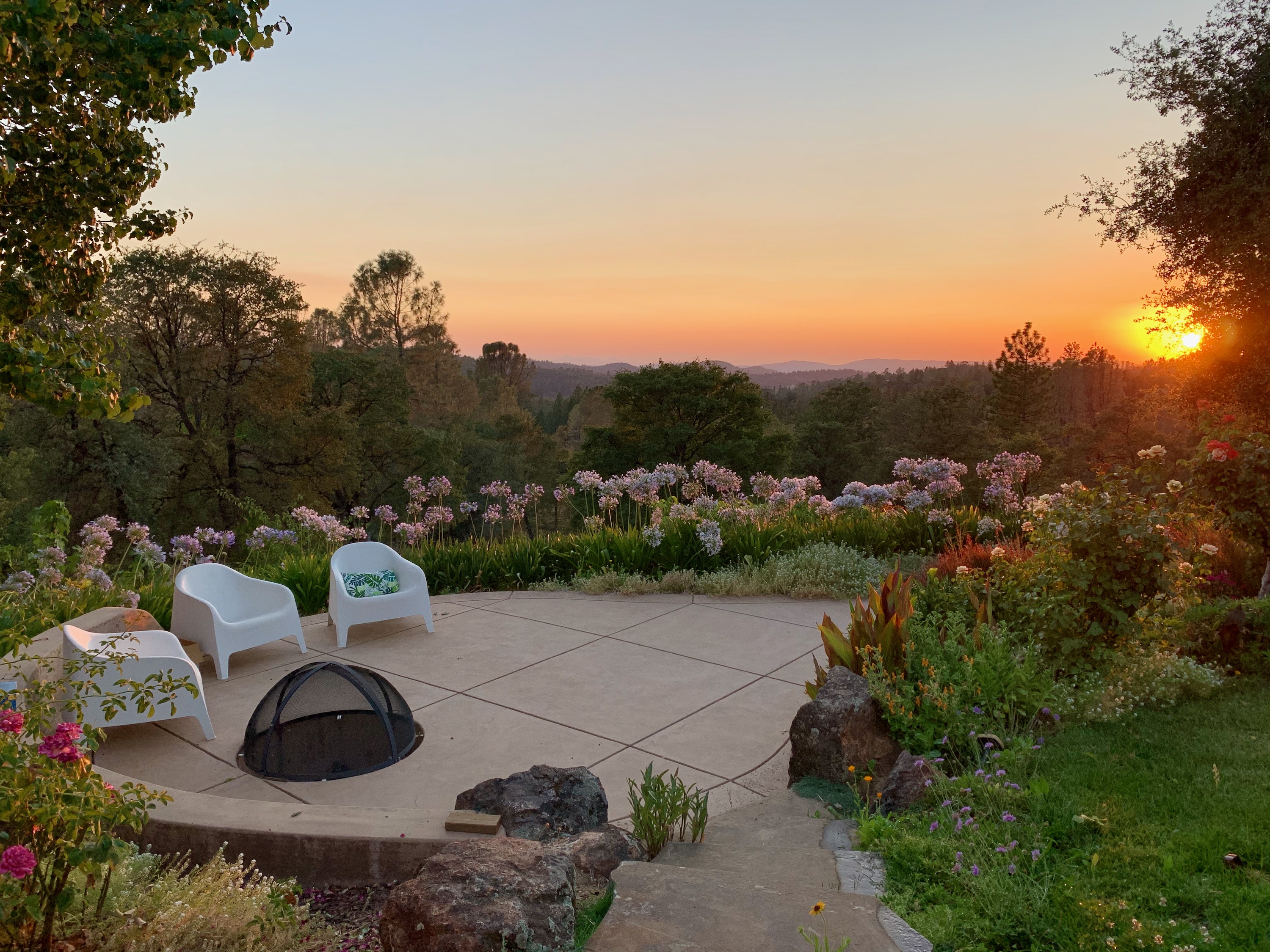
Sunset
A lovely end to the first day, in the company of my lovely family.
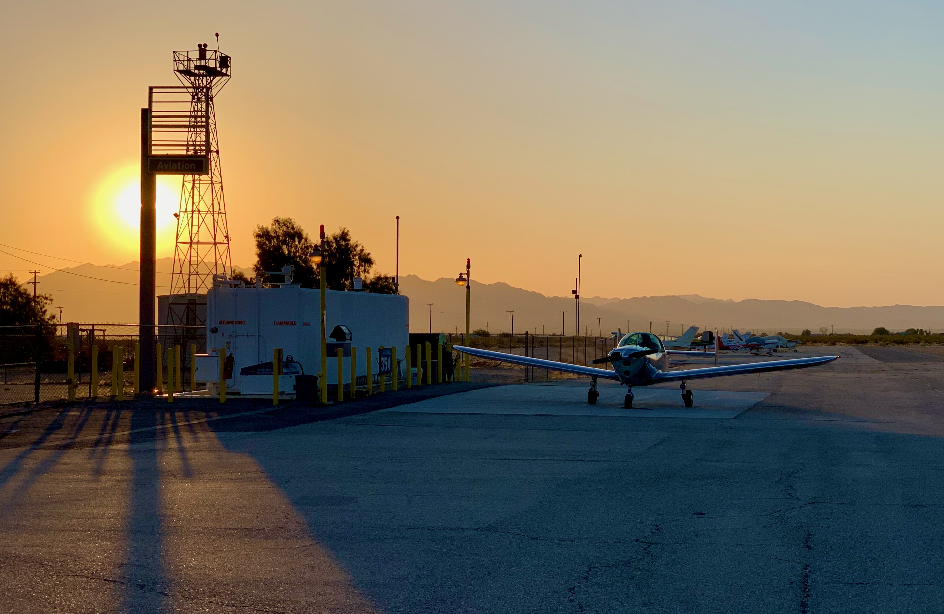
Sunrise, Twentynine Palms
A beautiful morning. 06:04, just before I found out that the fuel dispenser was not operational... Got to be flexible on these trips. I planned to backtrack West to the Palm Springs area for fuel.
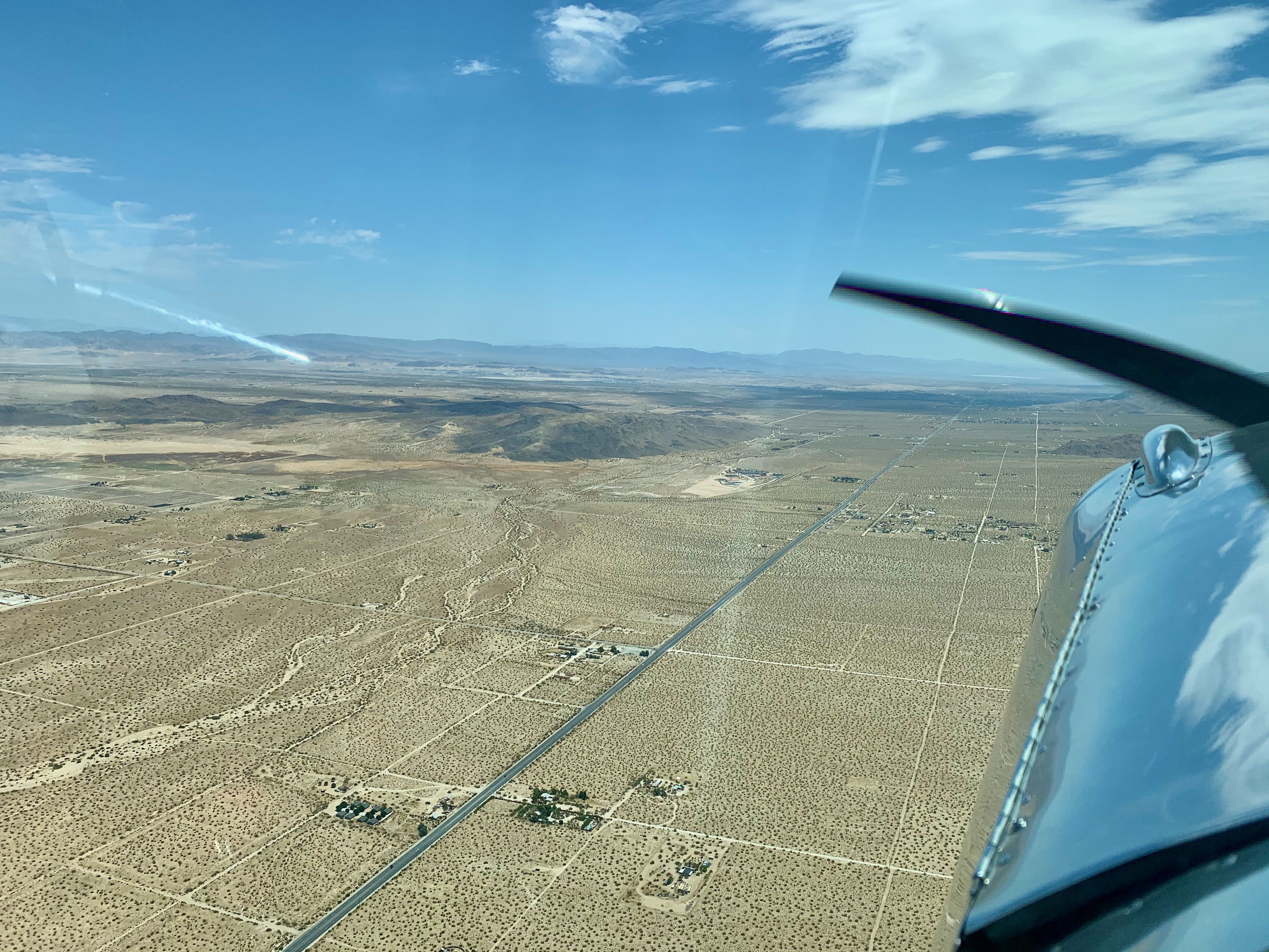
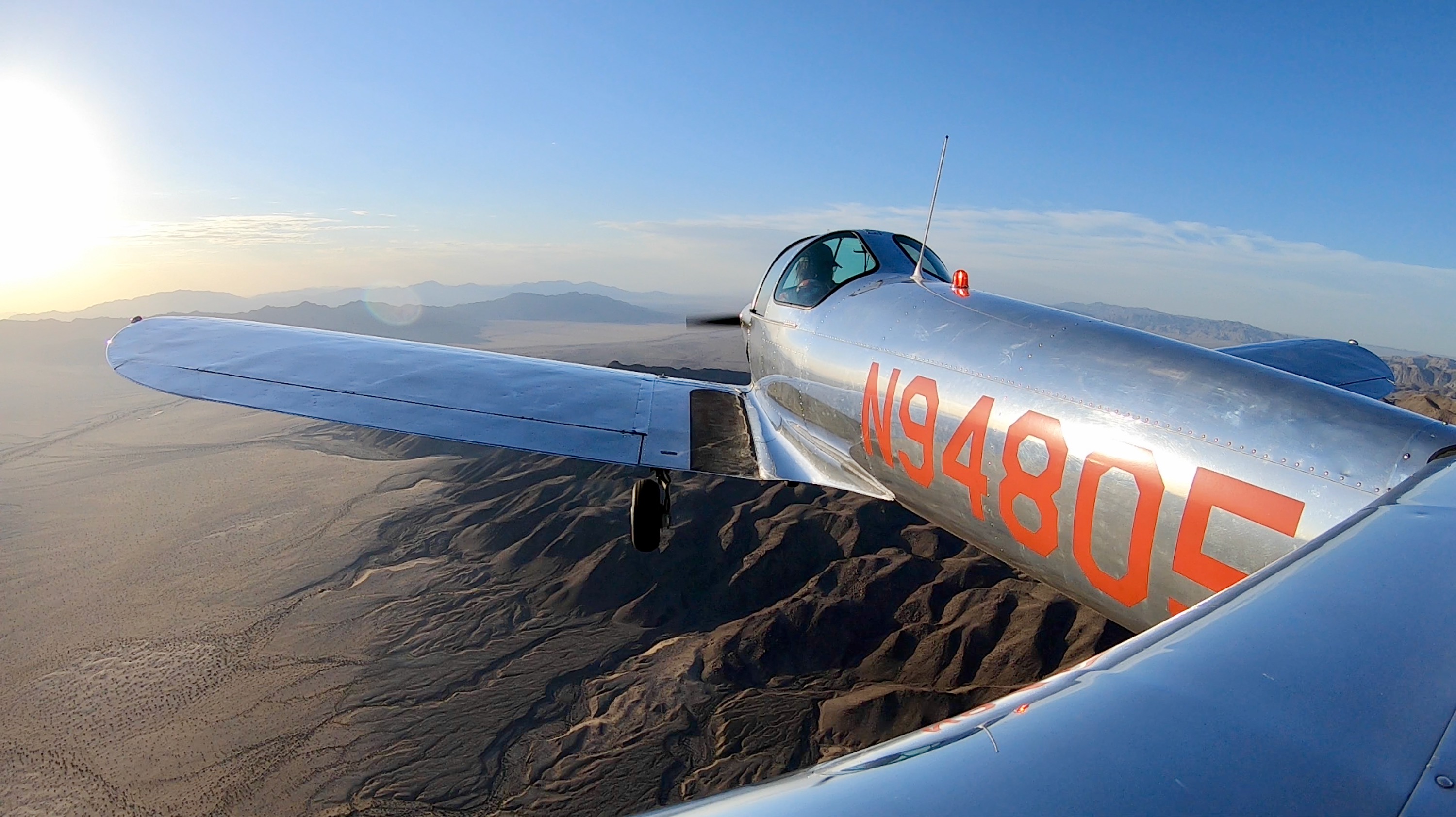
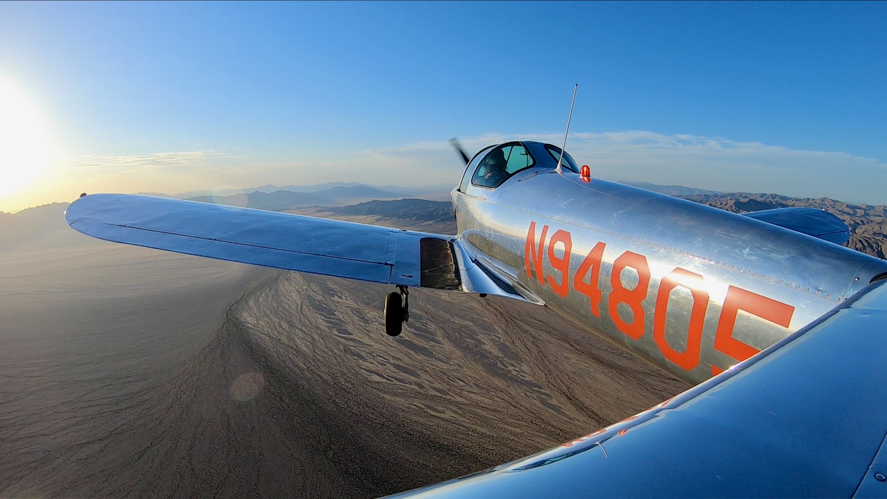
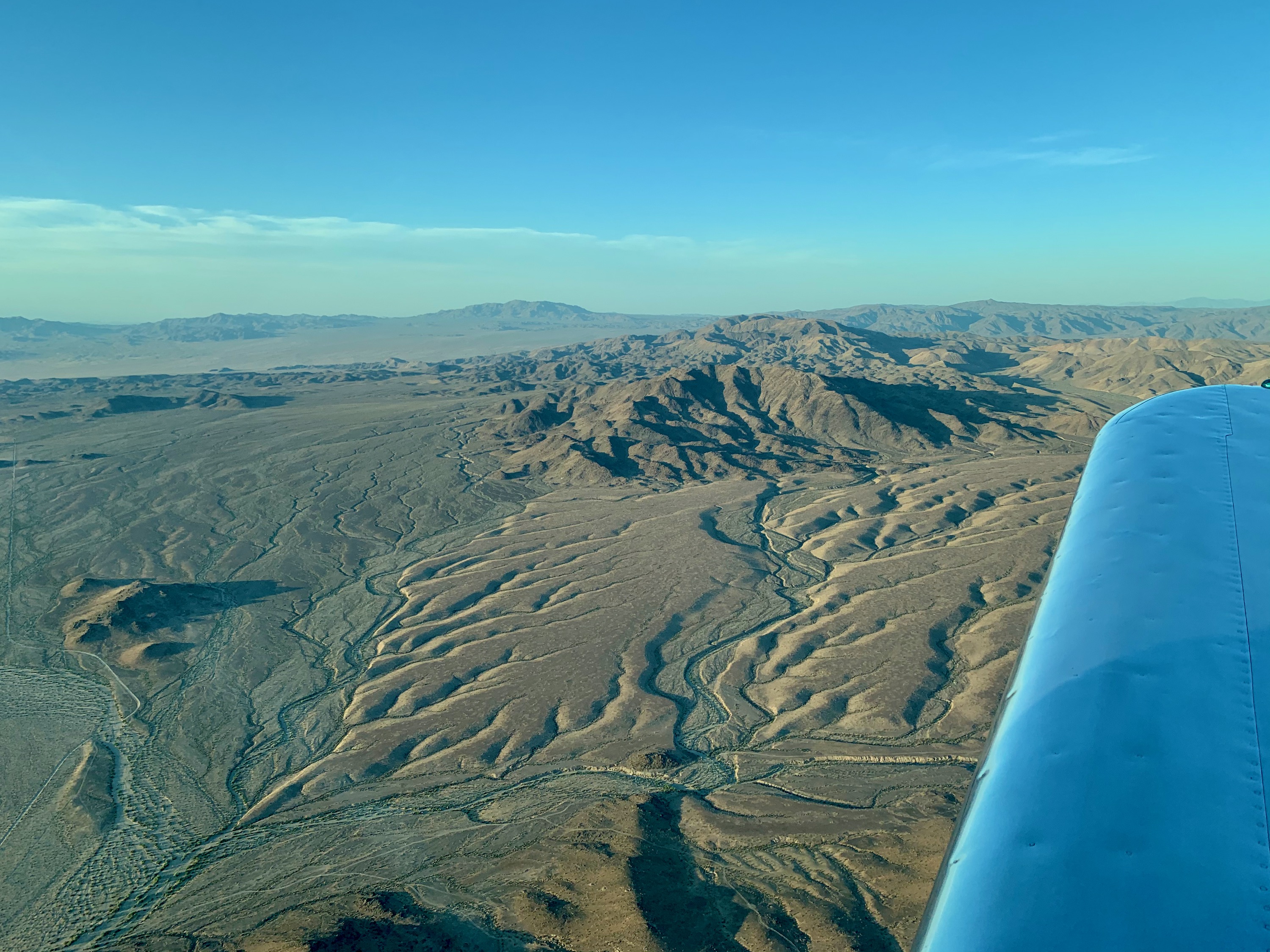
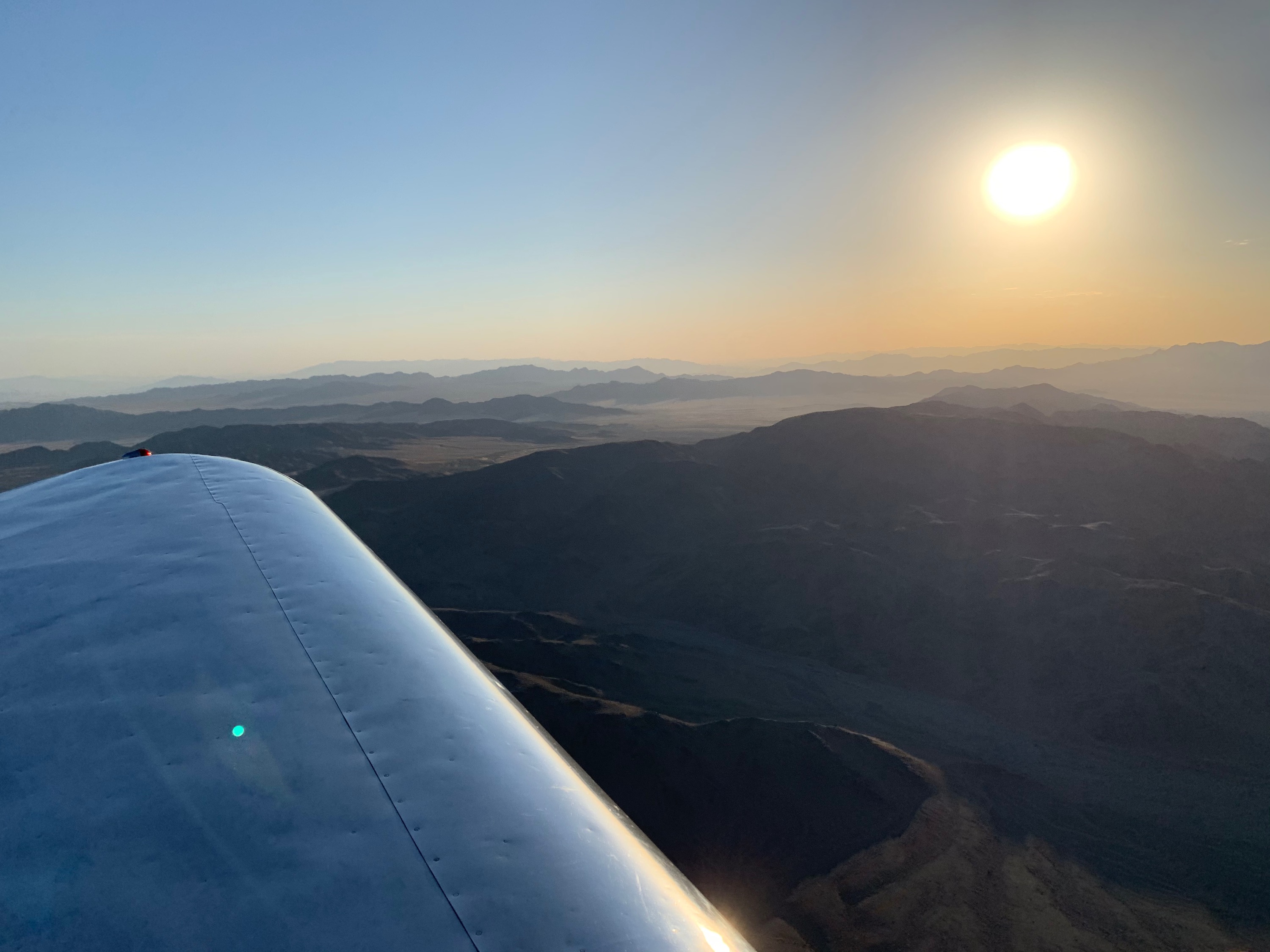
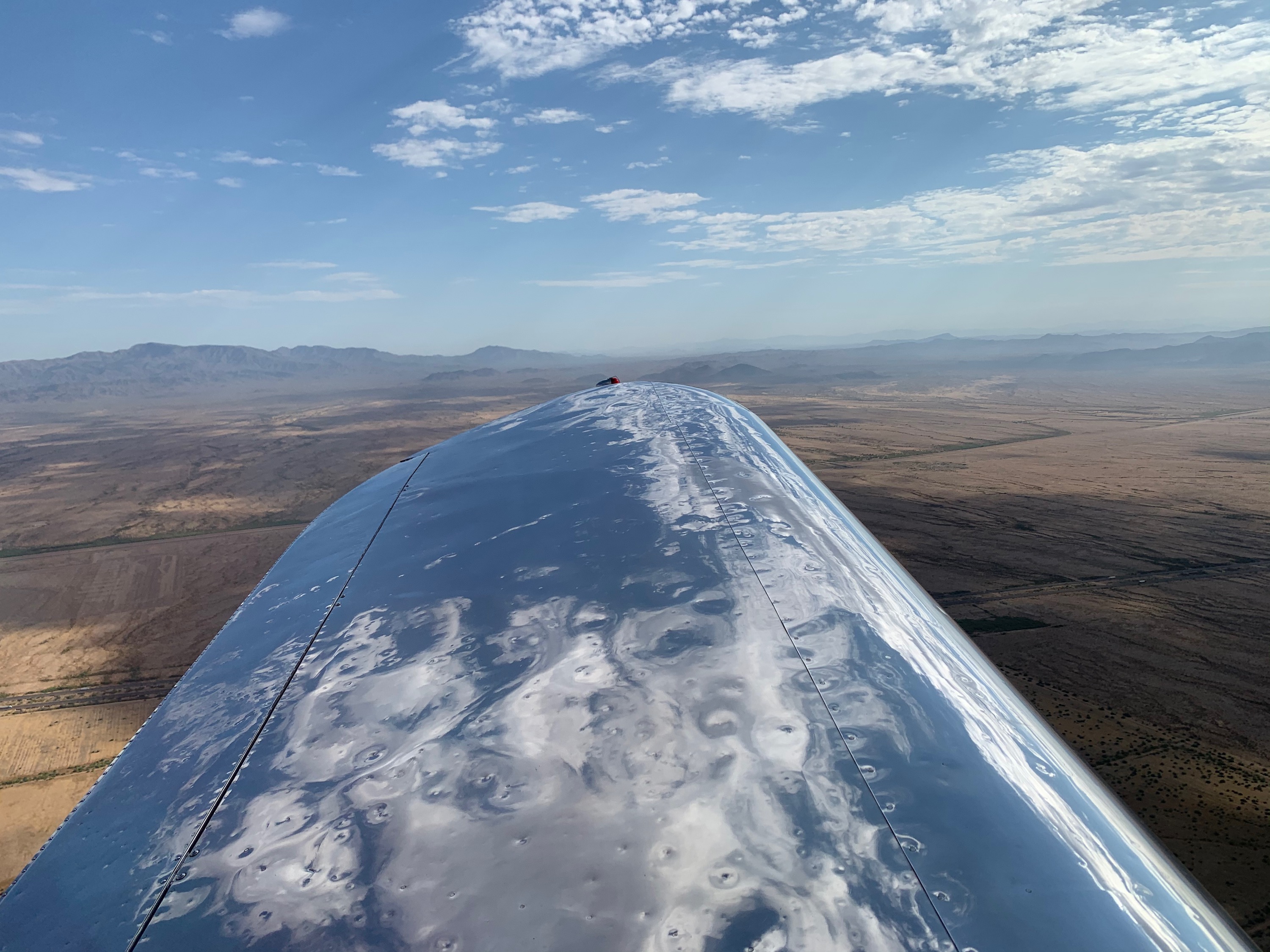
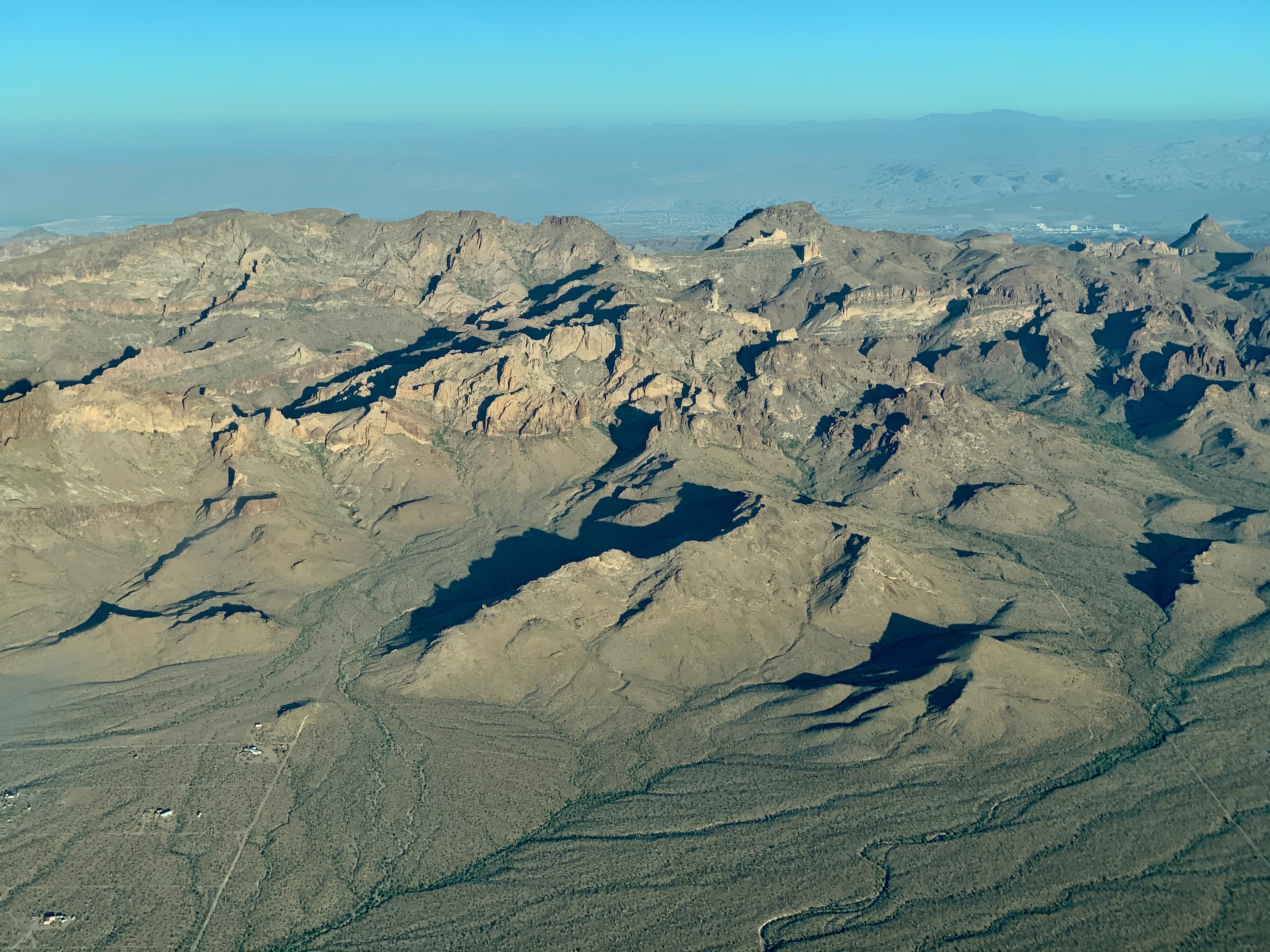
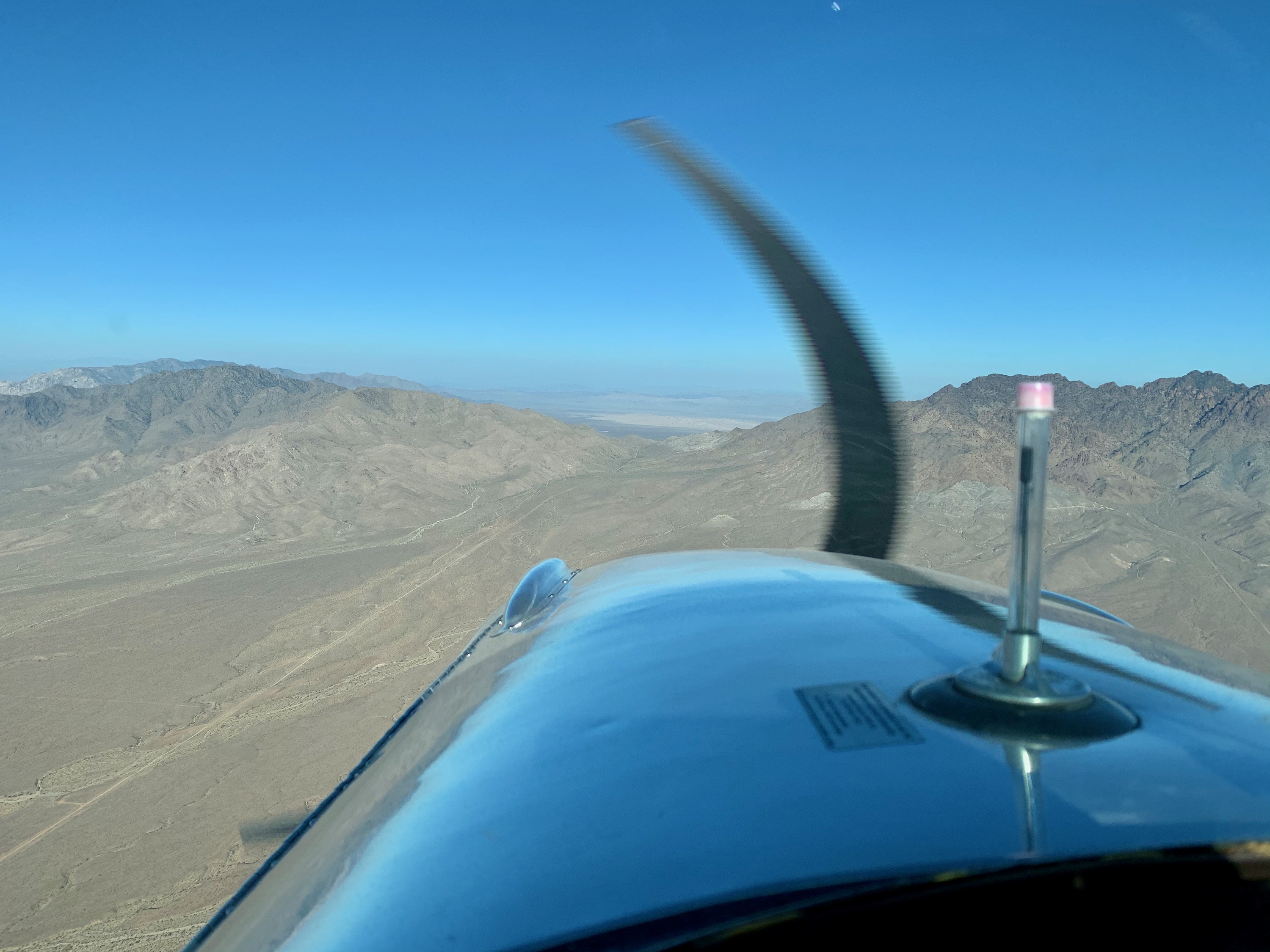
Joshua Tree National Park, California
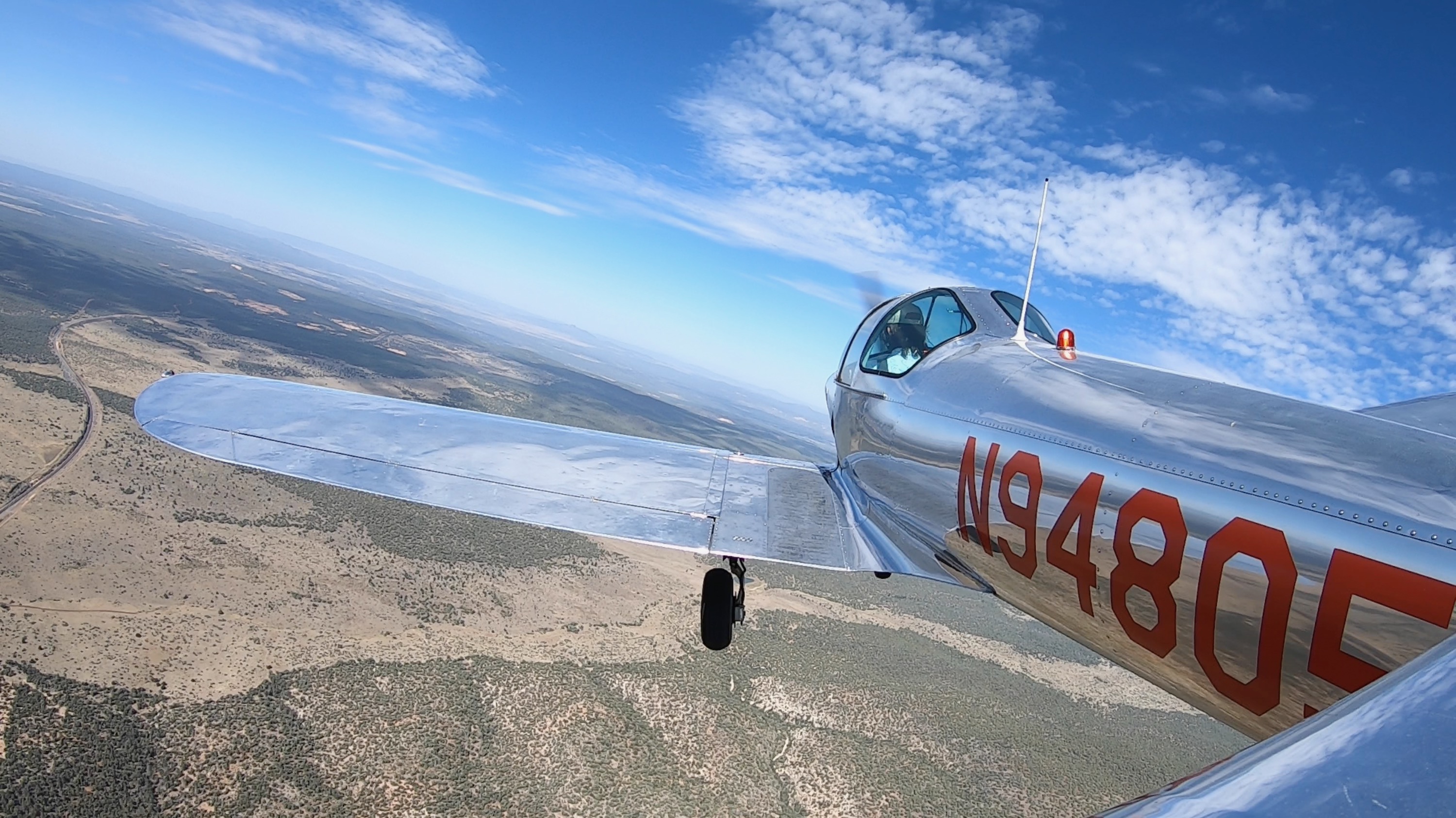
After seeing a good tail wind, I realized I could easily get to Blythe for fuel. So I headed South East from KTNP, and saw this amazing view over the Pinto Mountains, just North of the Joshua Tree National Park.
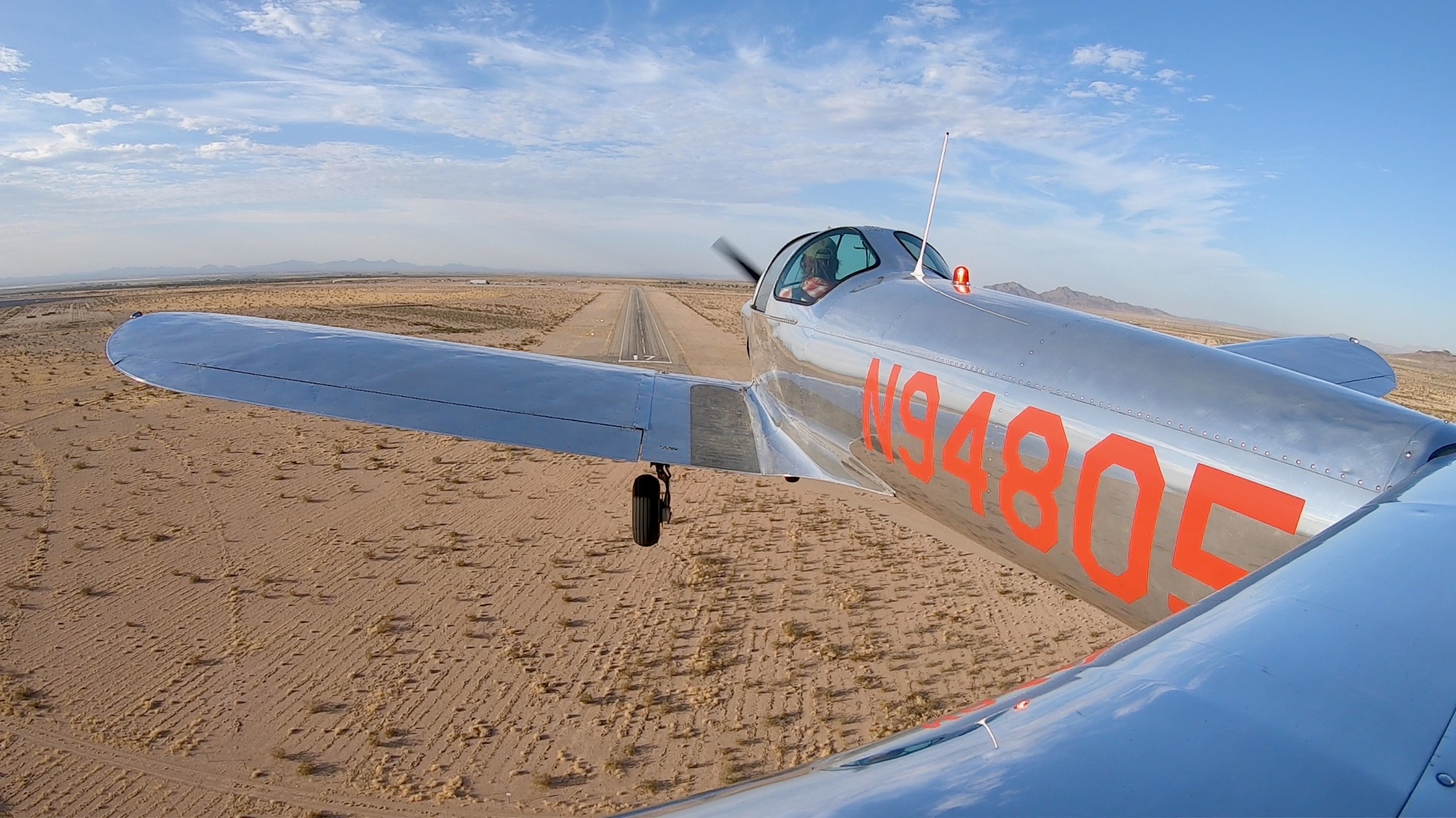
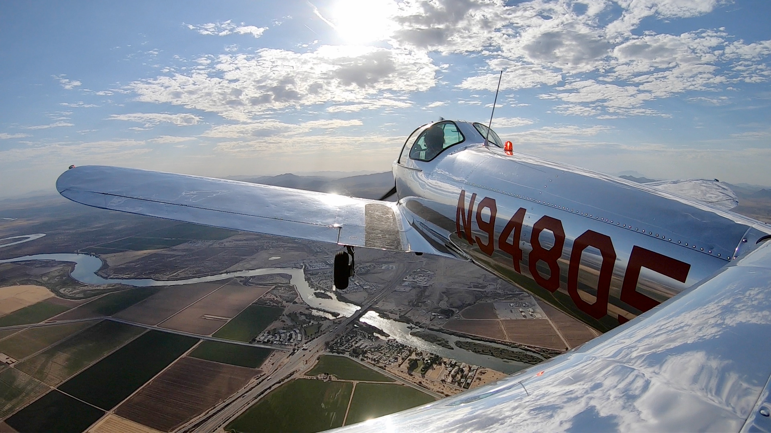
Blythe, California
Since there was no fuel at KTNP, Blythe came to the rescue! A great old field with nice people, I quickly filled up my water bottle, and the fuel tanks before heading into Arizona.
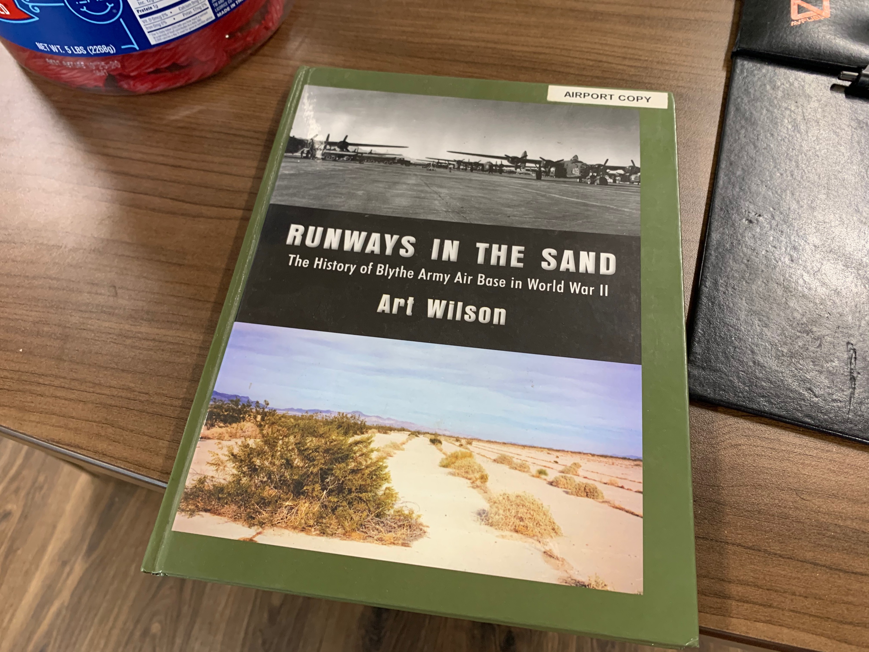
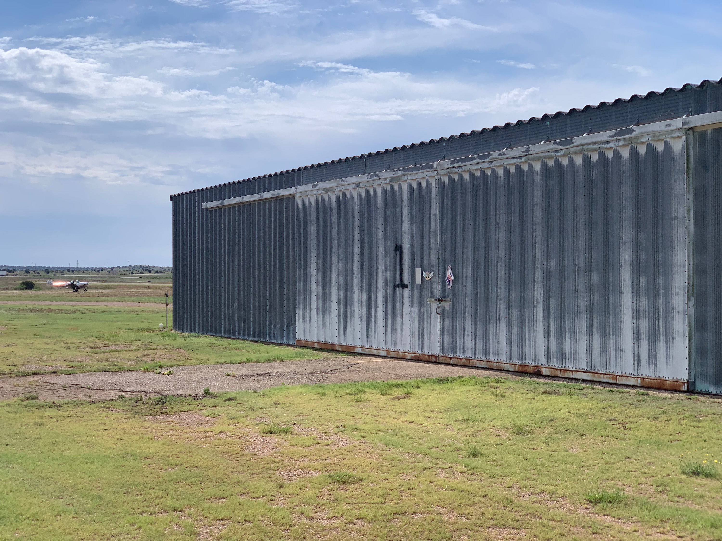
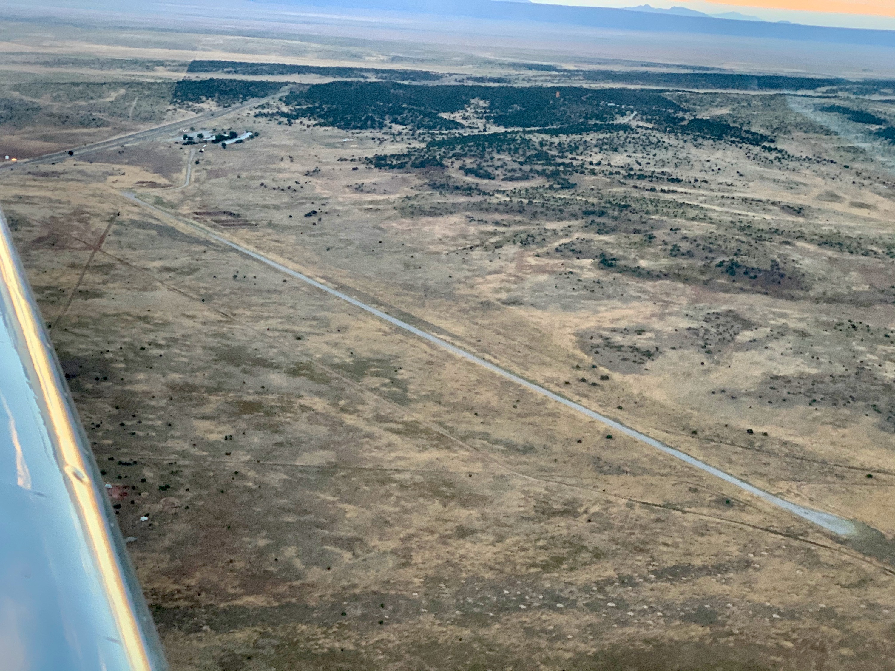
Runways in the Sand
Blythe history. A B-17 and B-24 base, Blythe still has it's original hangar.
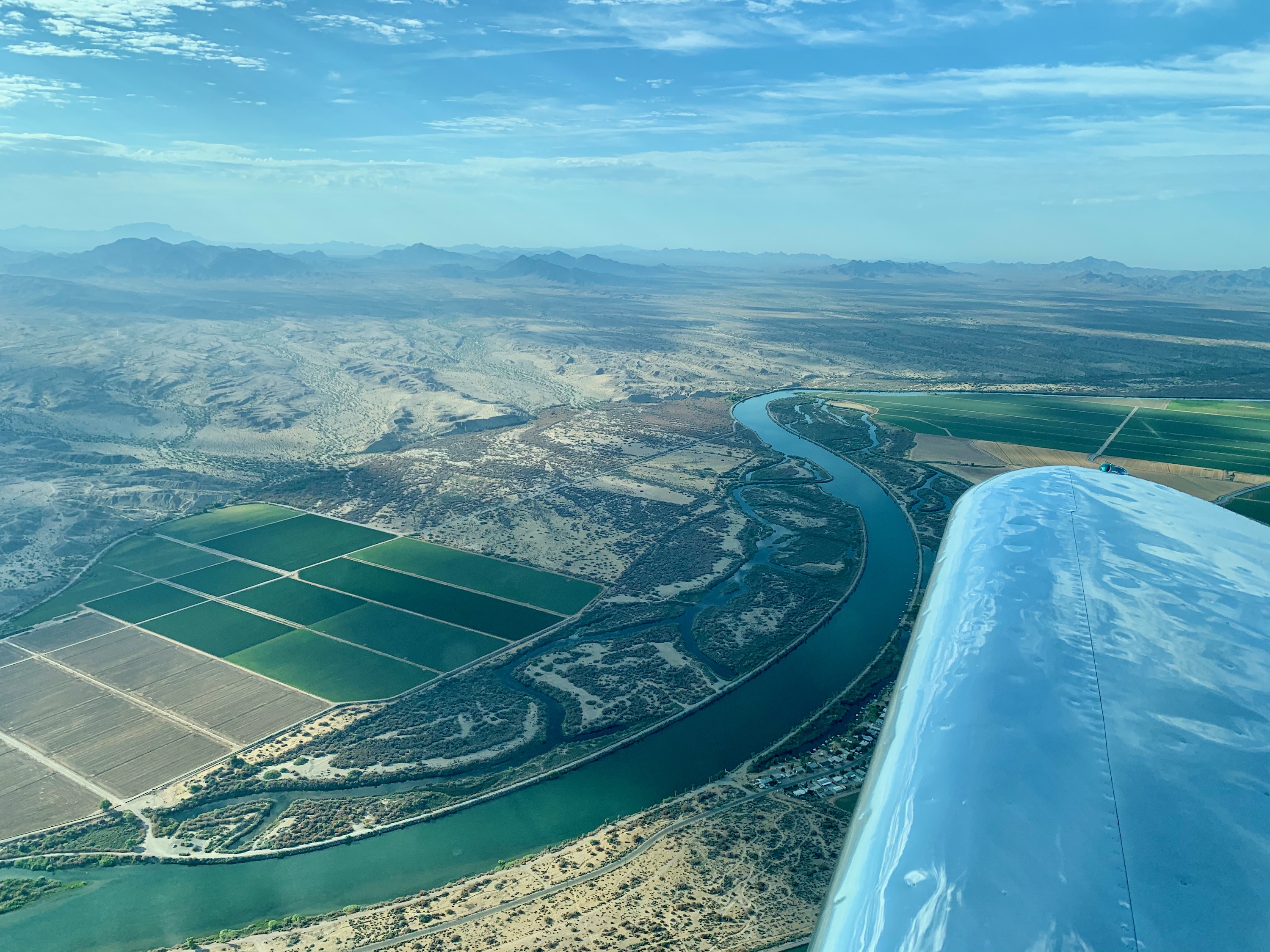
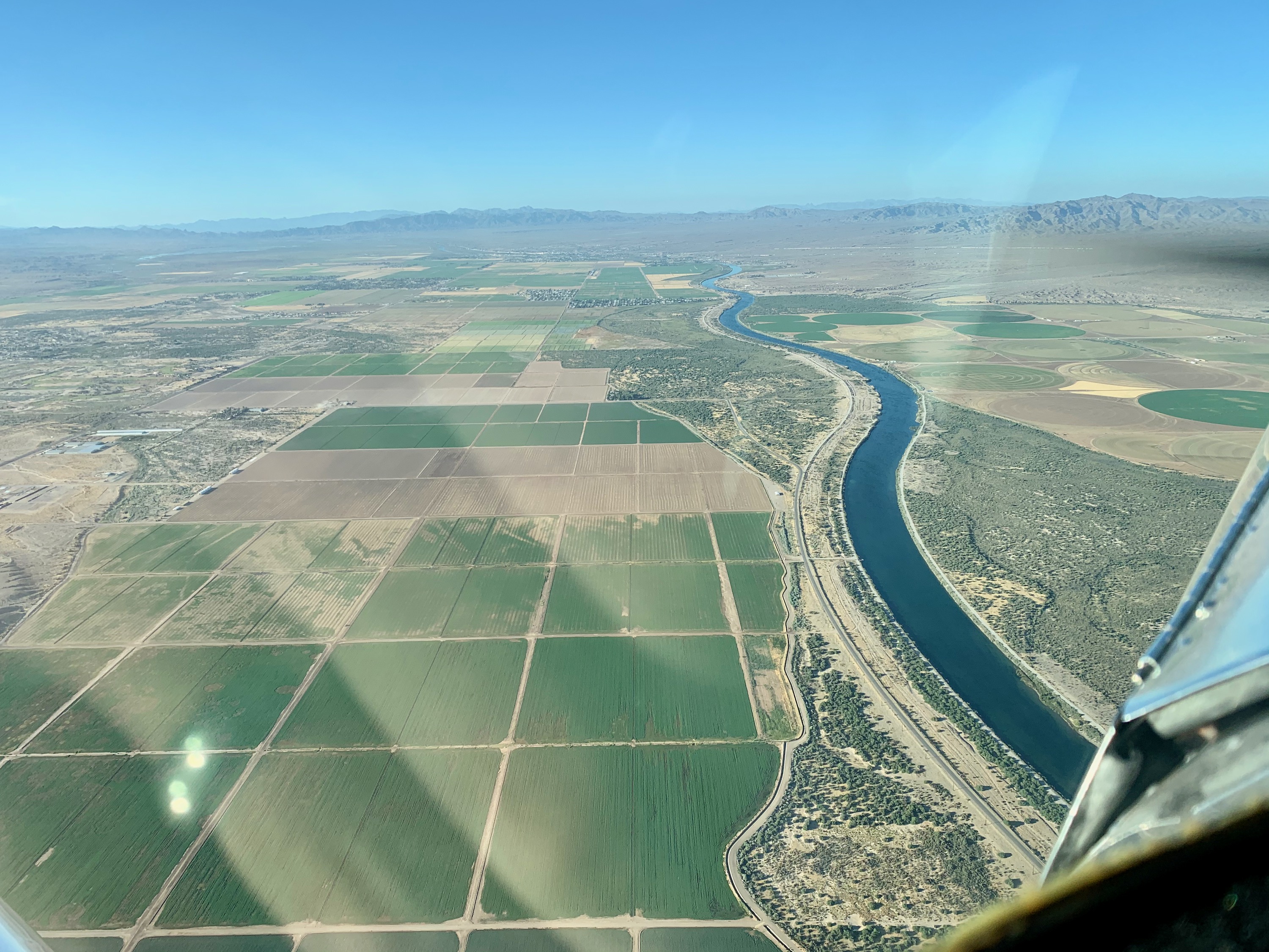
The Colorado River
It's like the Nile! Green for miles on either side, then just sandy dirt.
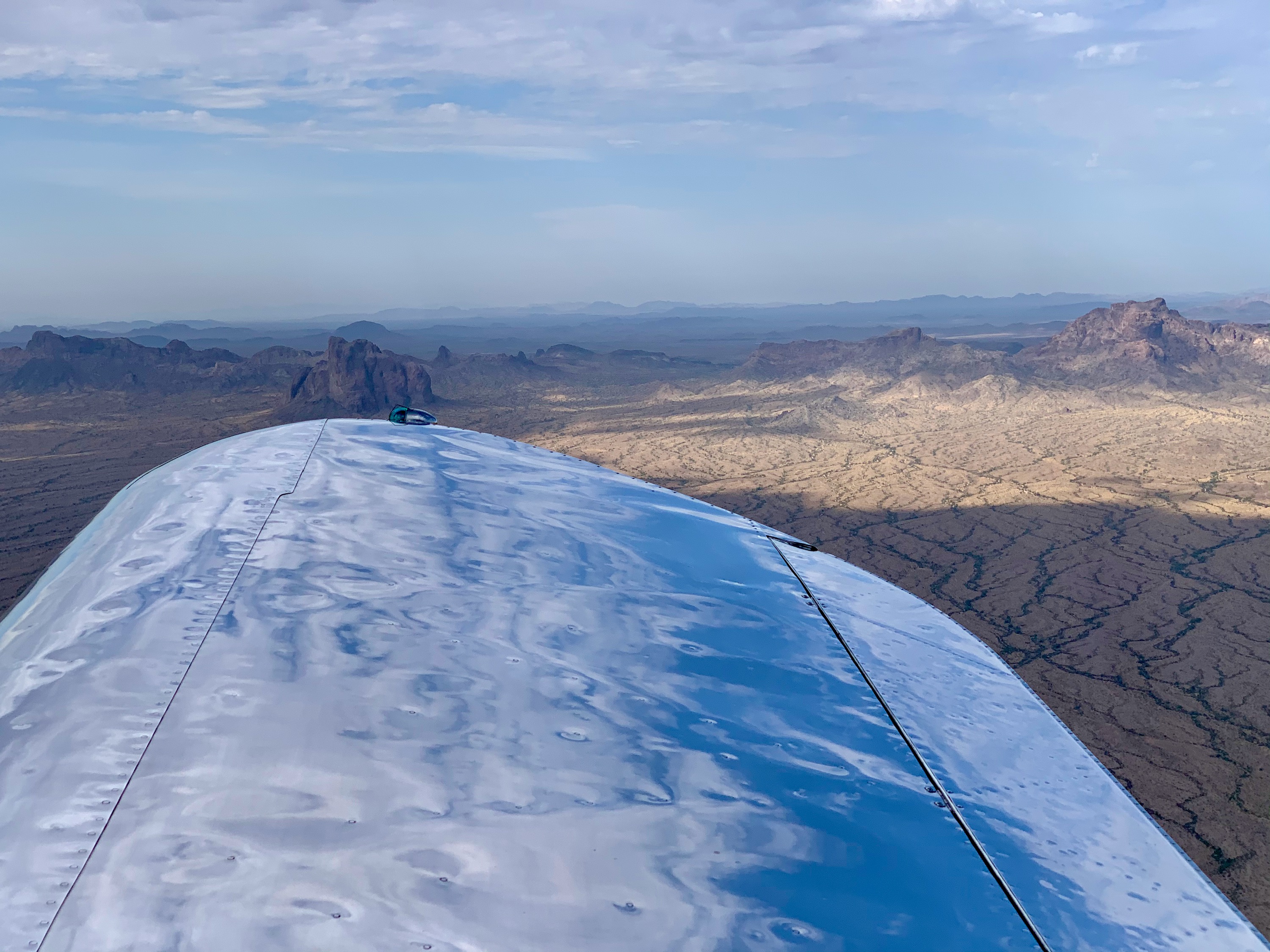
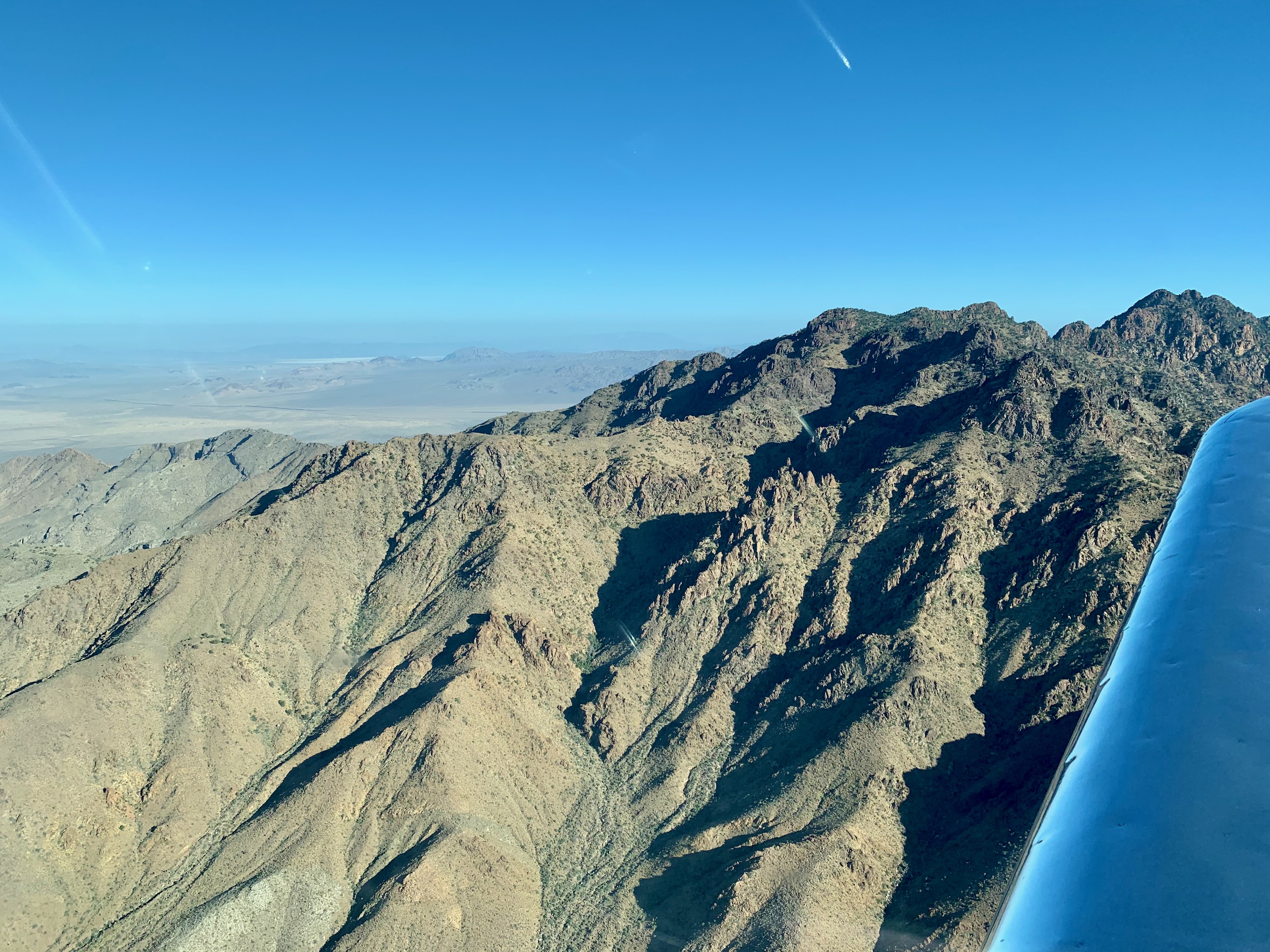
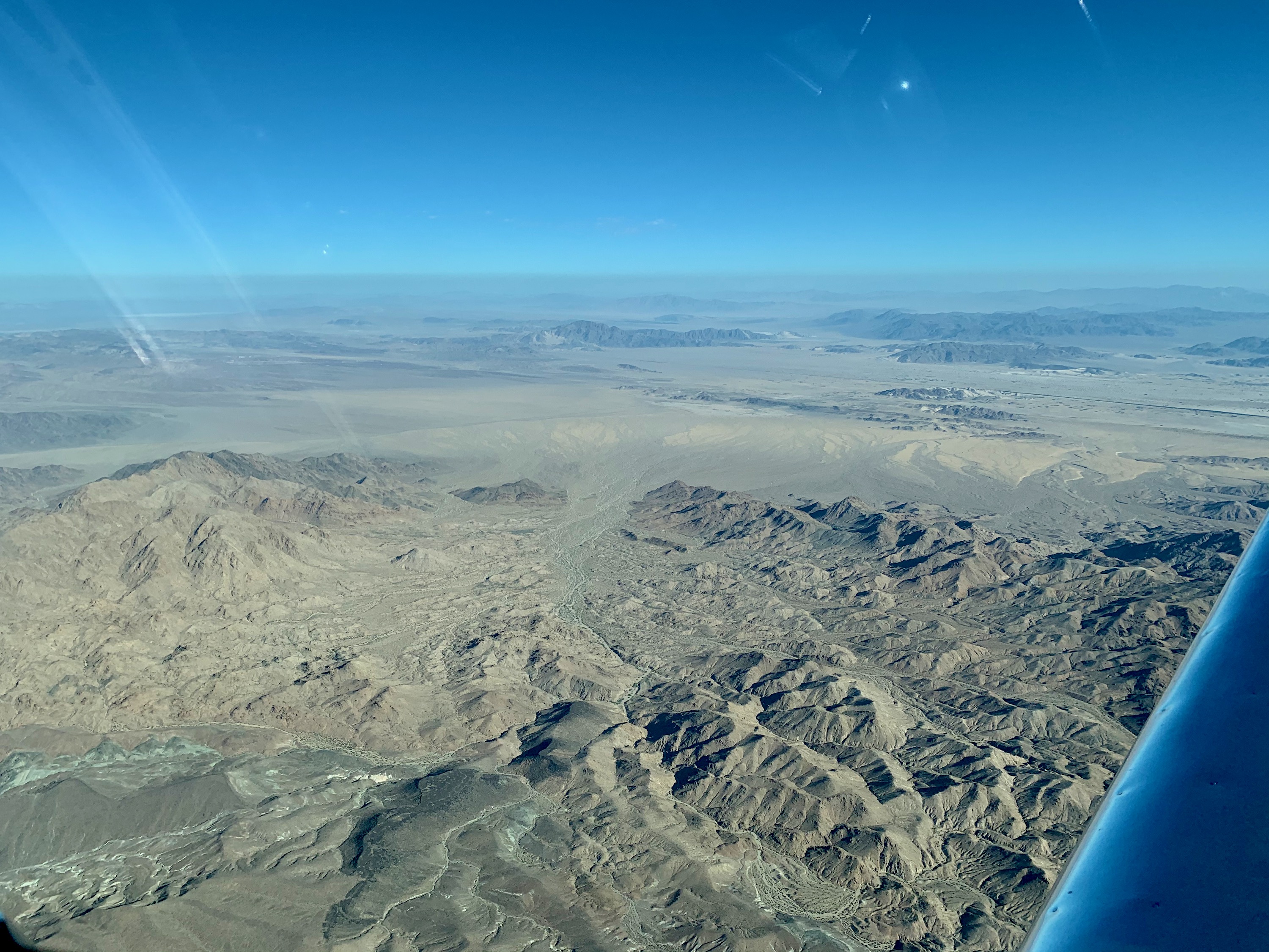
Eagletail Mountains Wilderness
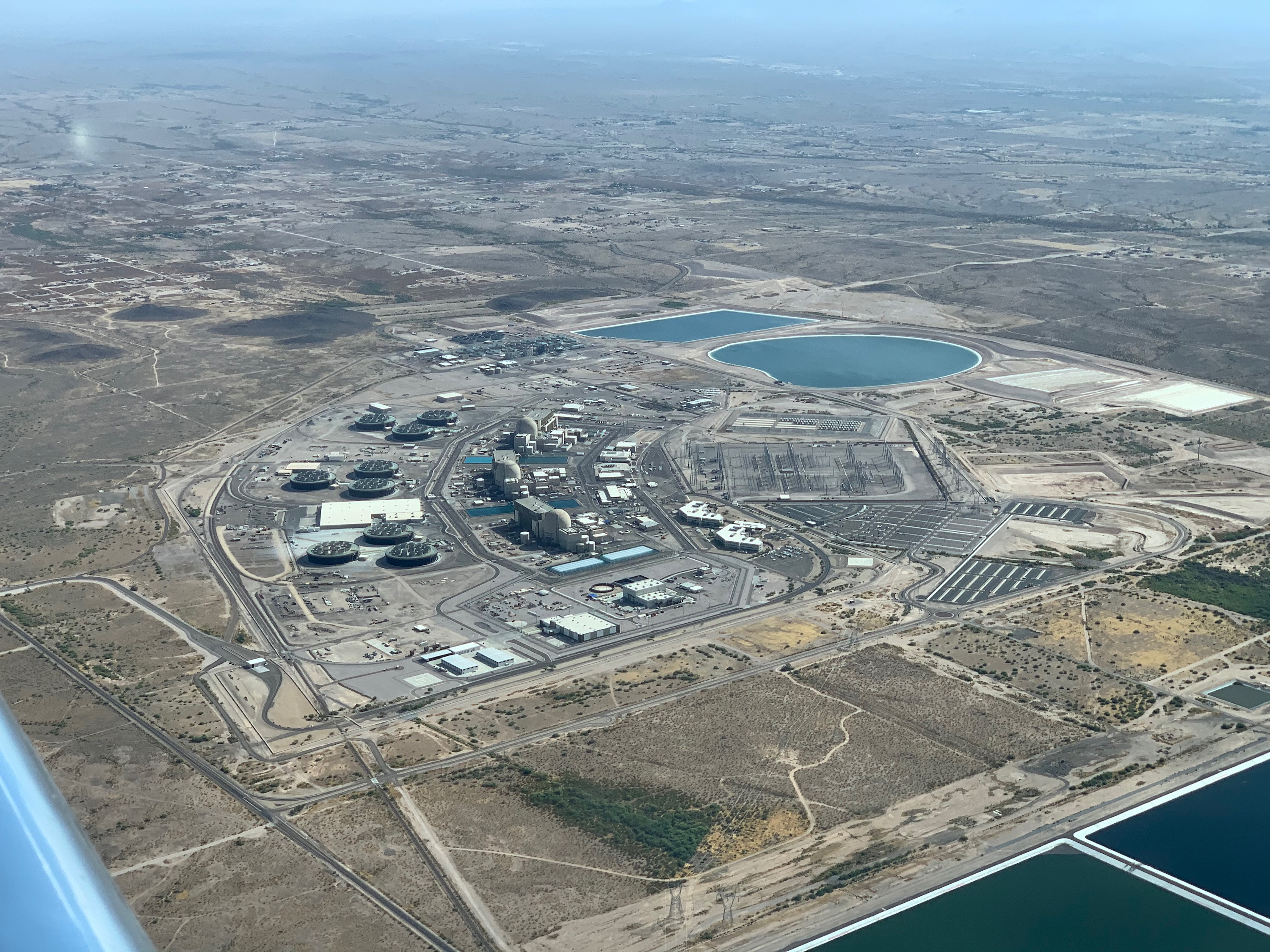
Palo Verde Nuclear Generating Station
This nuclear power station is the largest in the US, by net generation. It is located near the city of Tonopah in Arizona.
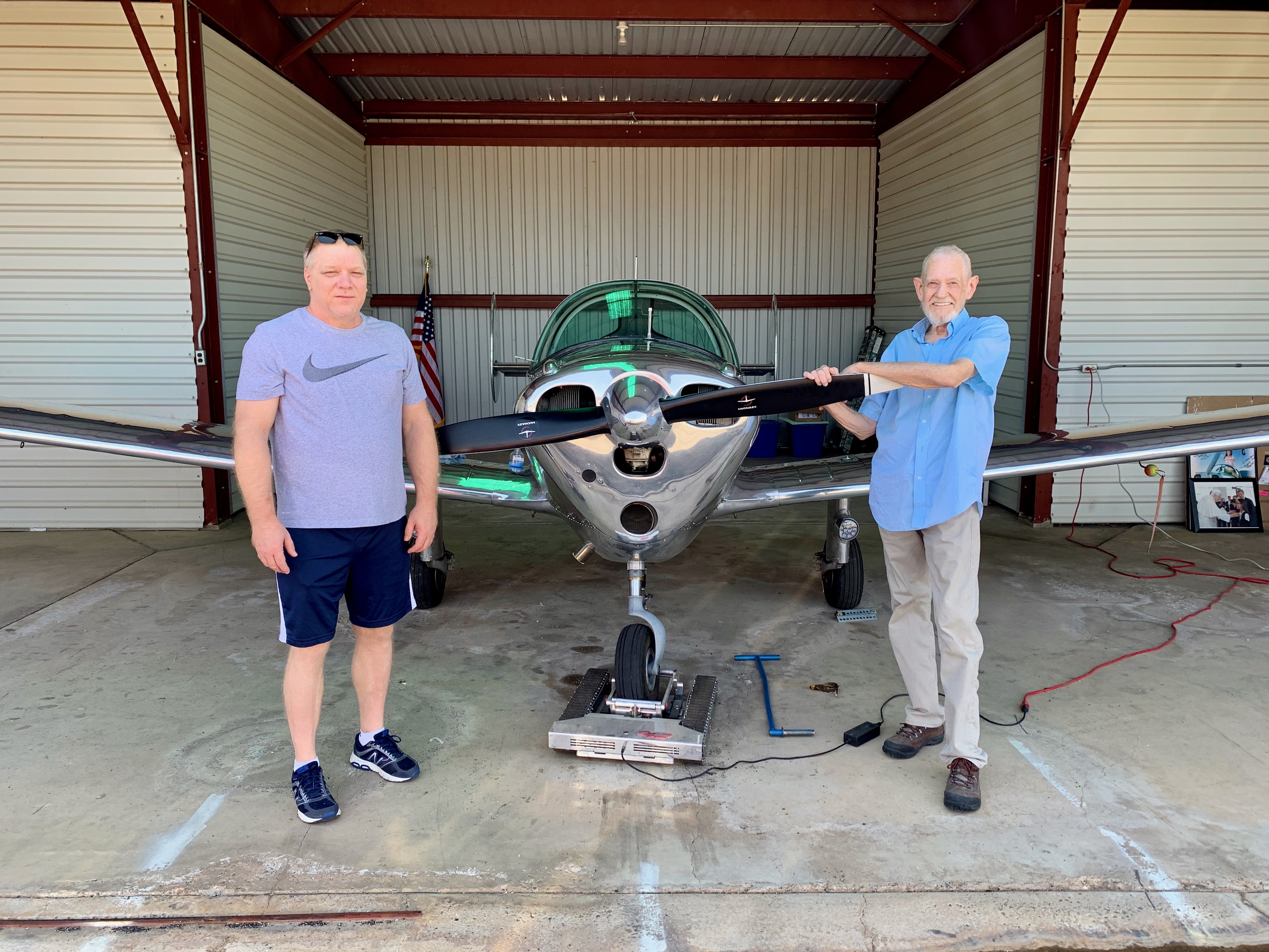
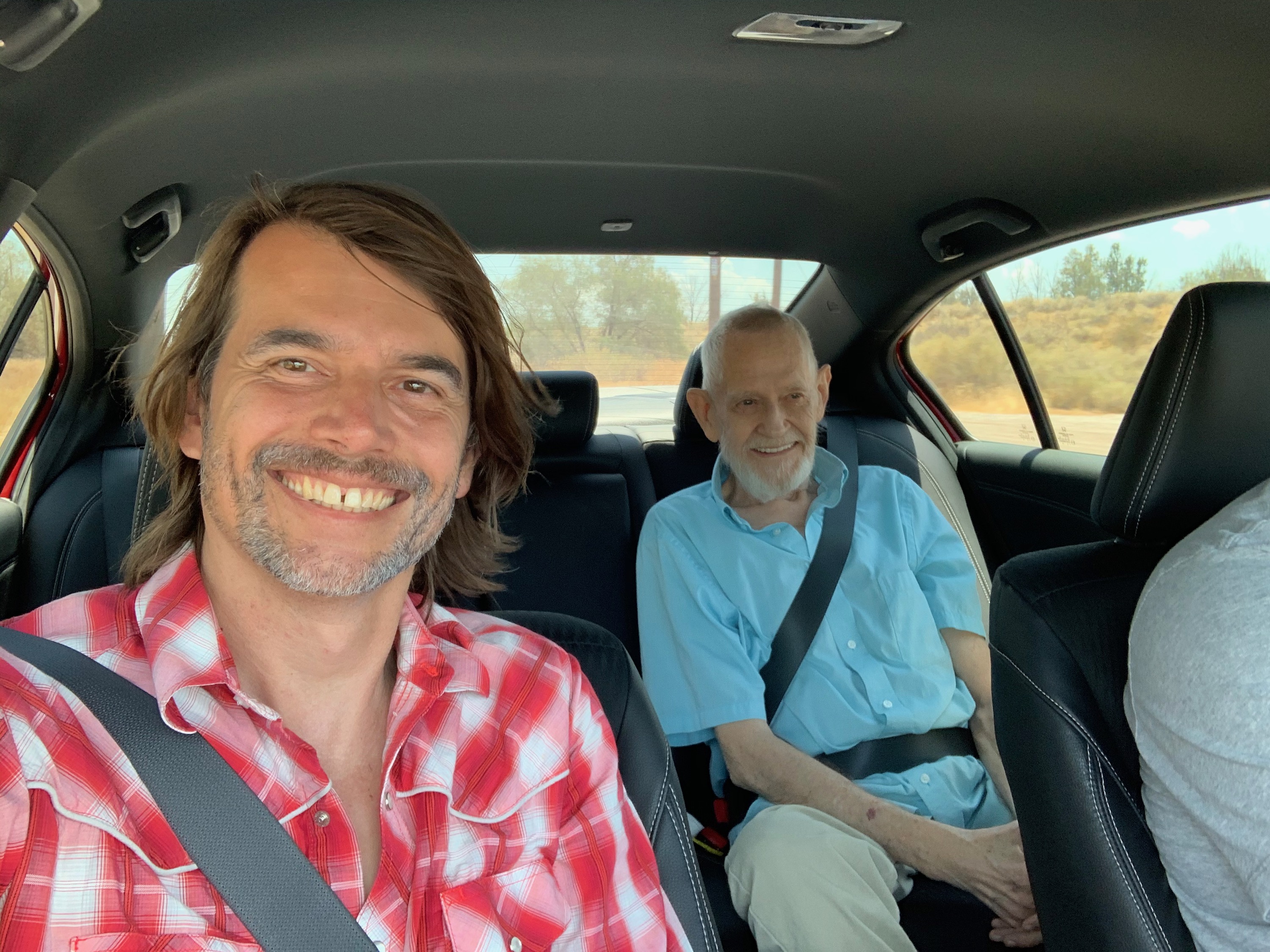
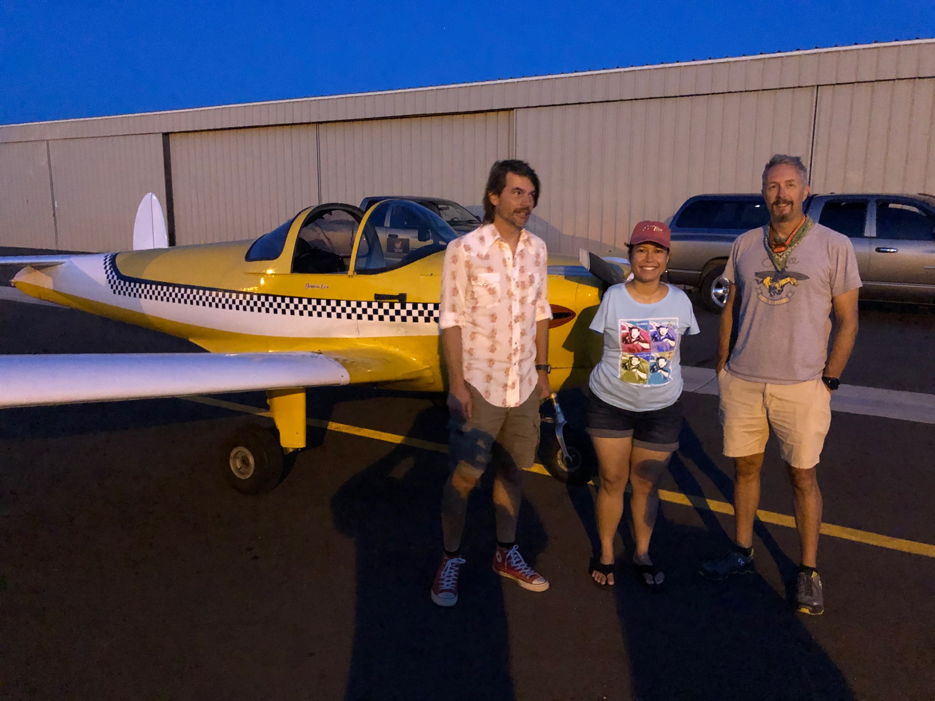
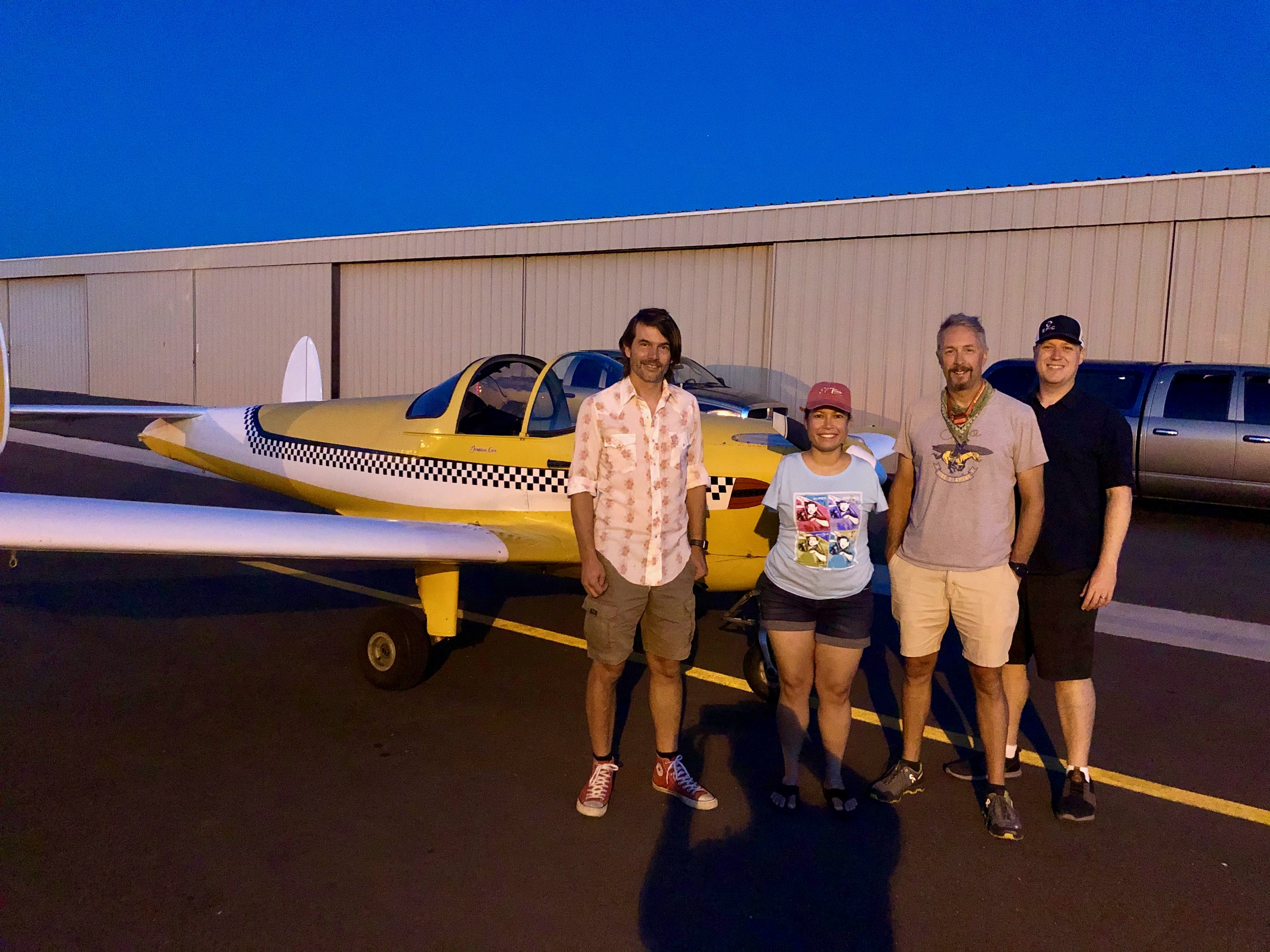
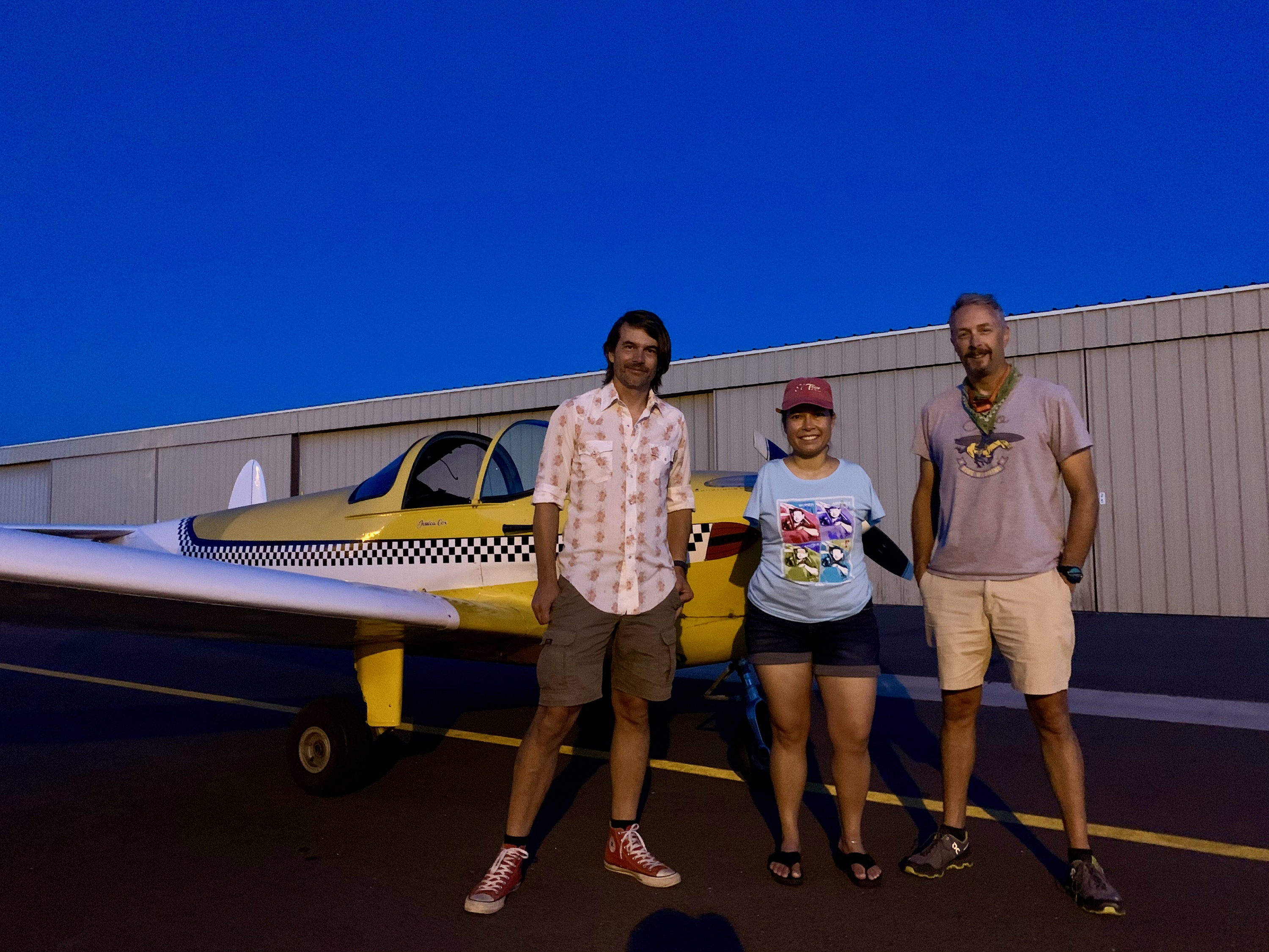
Friends
I finally got to meet my long time 'online' friend, and artist, David Duckett. He and Michael came to La Cholla Airpark to meet me, and we had a delightful time. It's a funny thing, knowing someone so long online, then actually meeting in person. I couldn't believe I was actually meeting the real person!
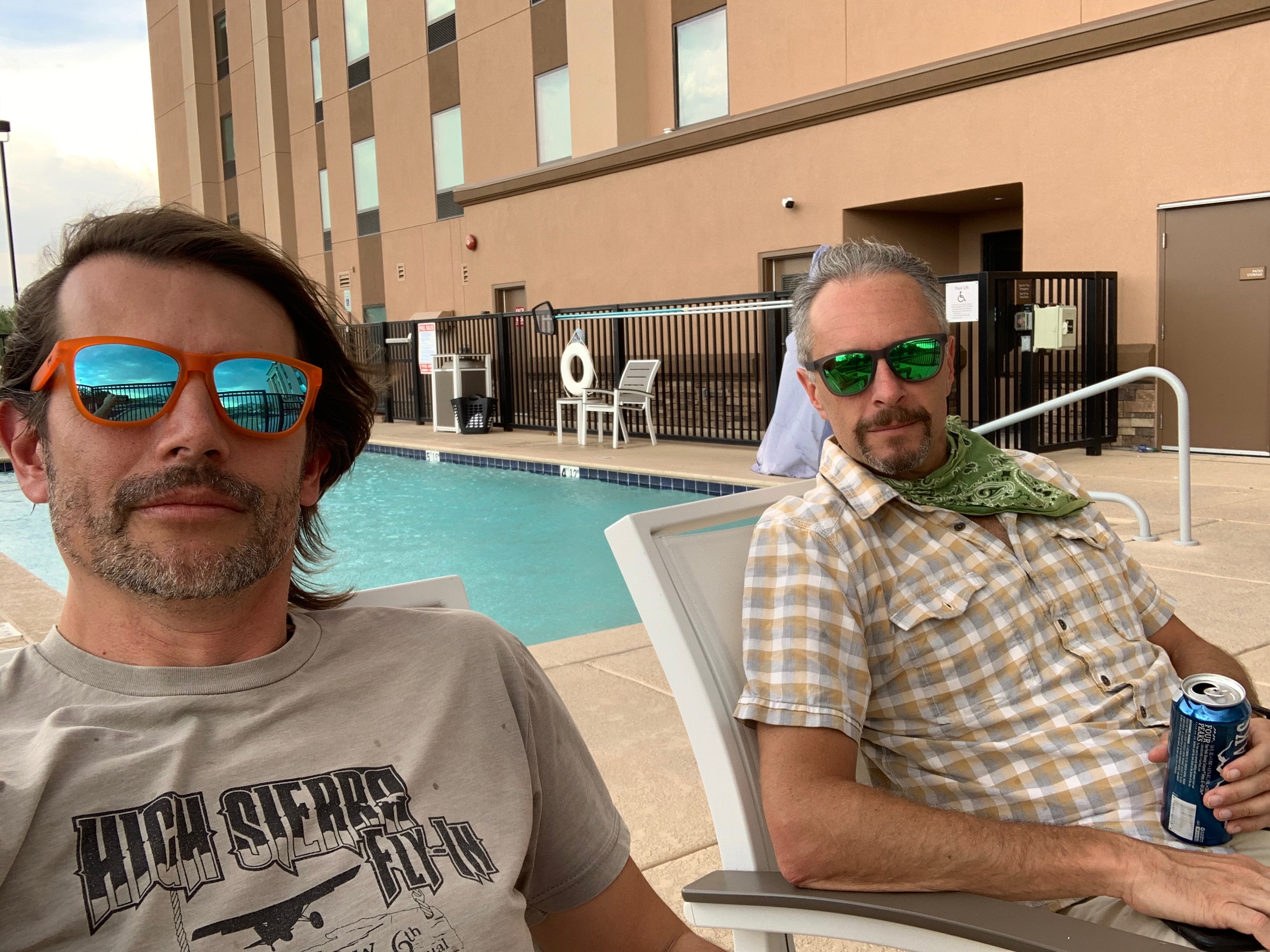
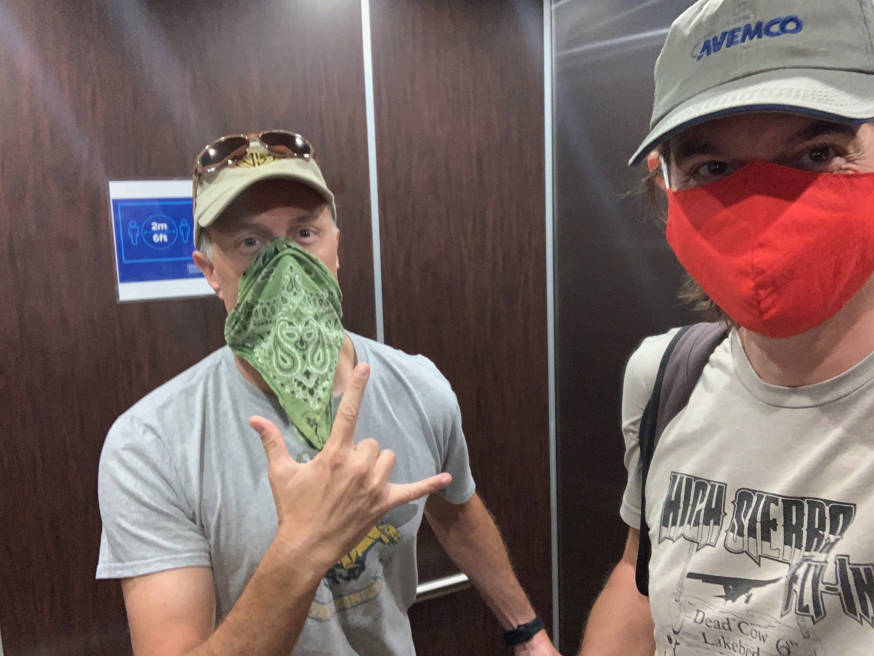
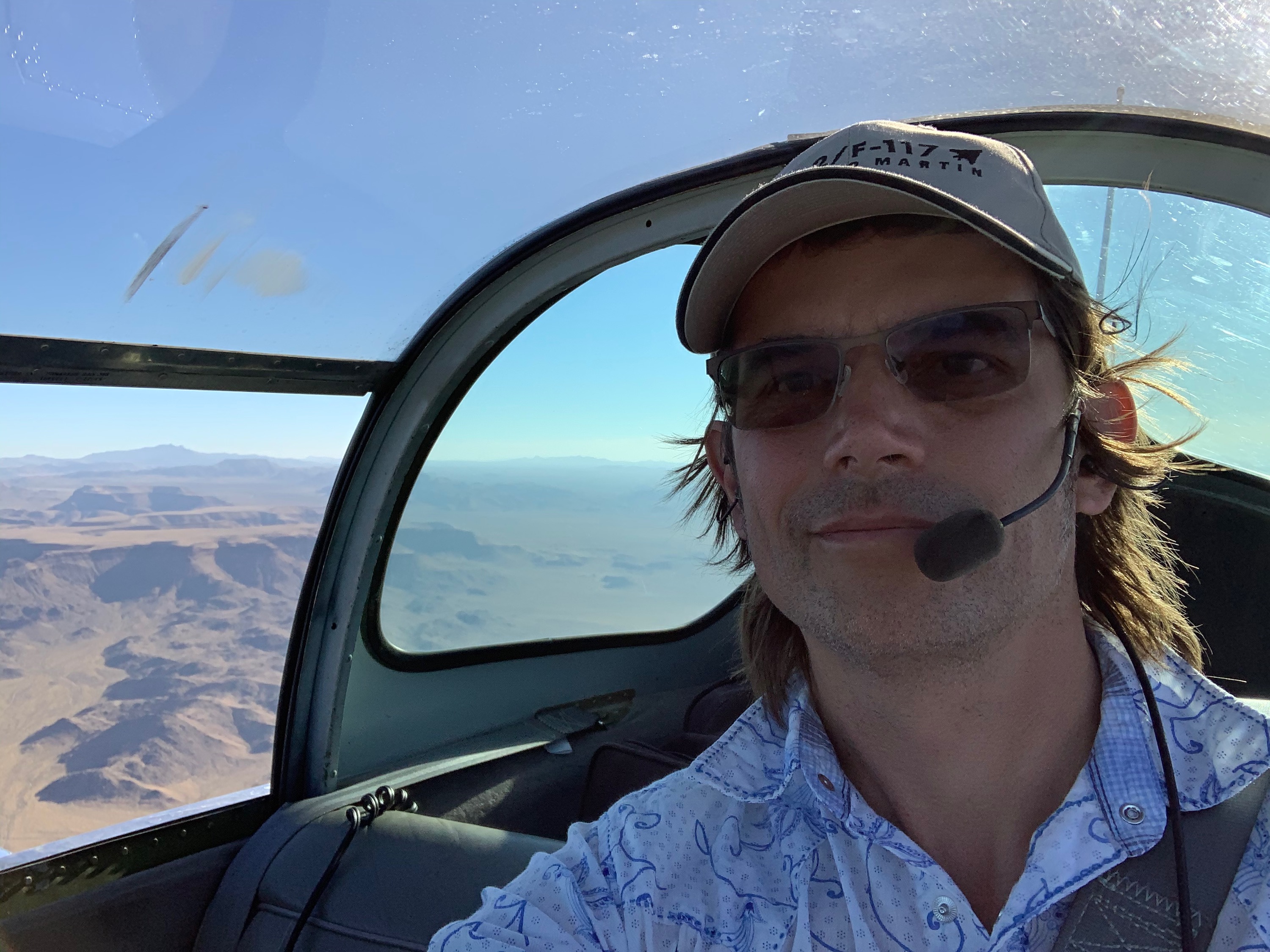
Andrew and I
At our hotel in Marana, we experienced the heat and fast changing weather of Arizona monsoon season!
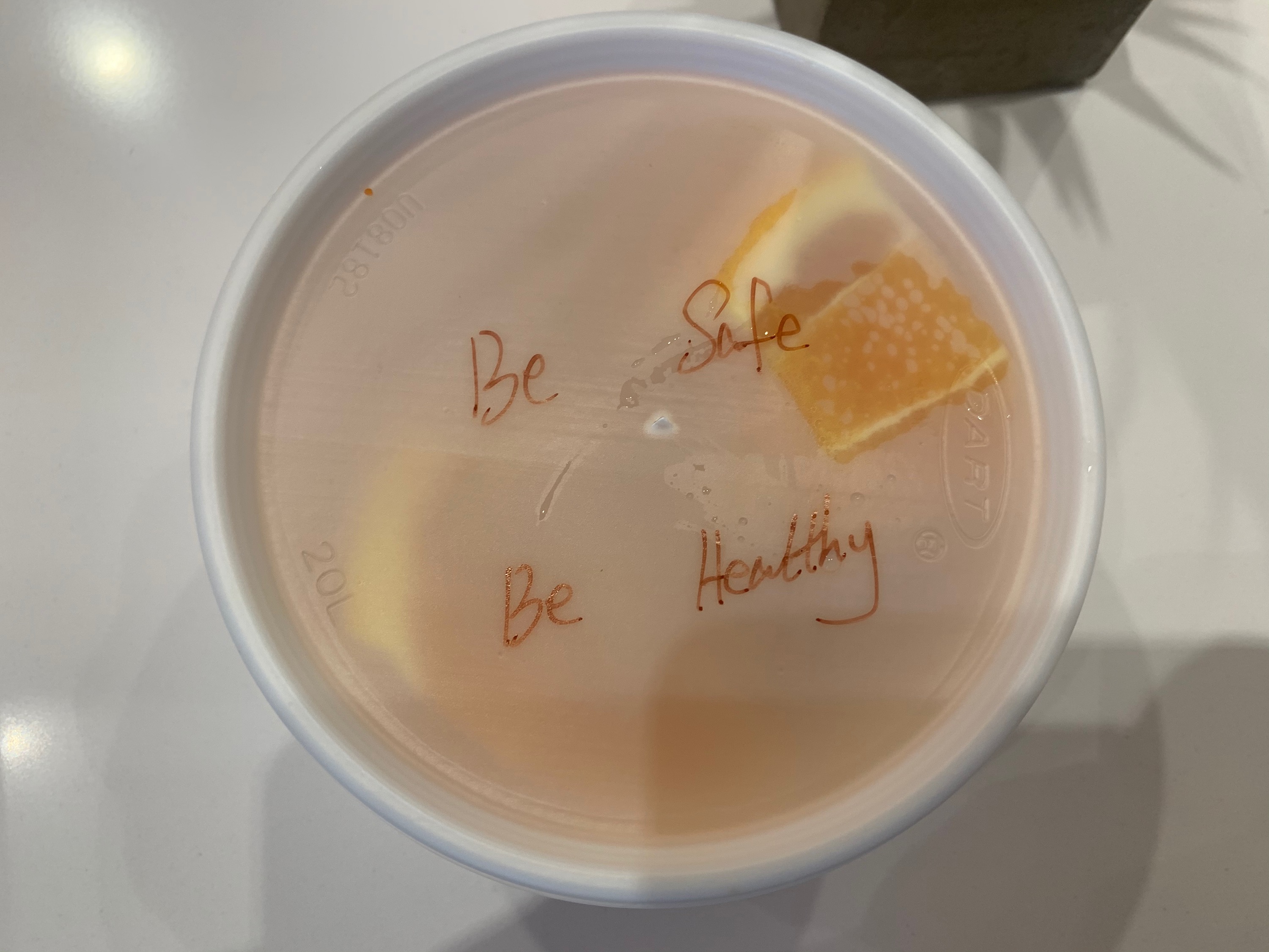
Masks
Masks were mandatory at the hotel.
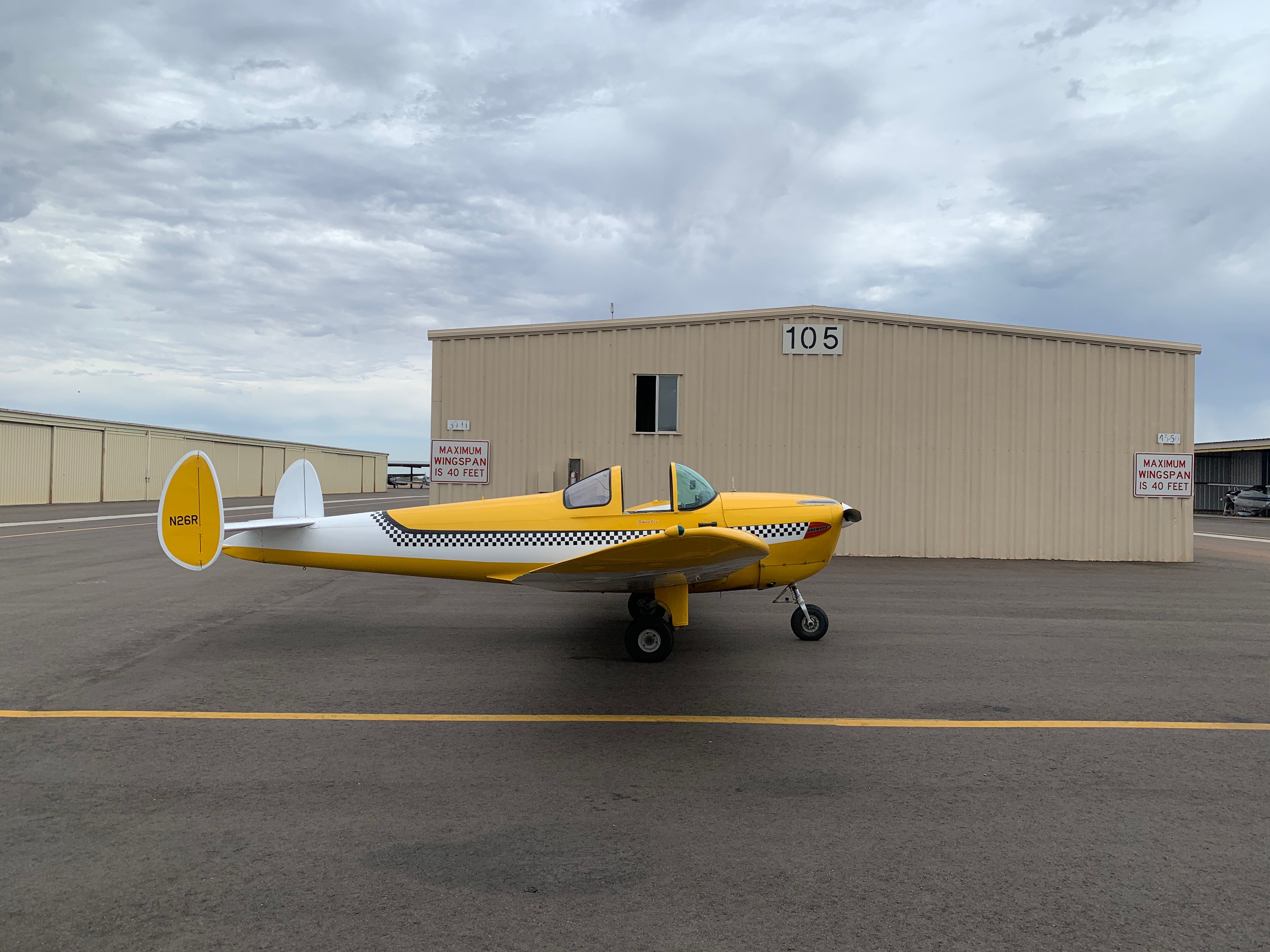
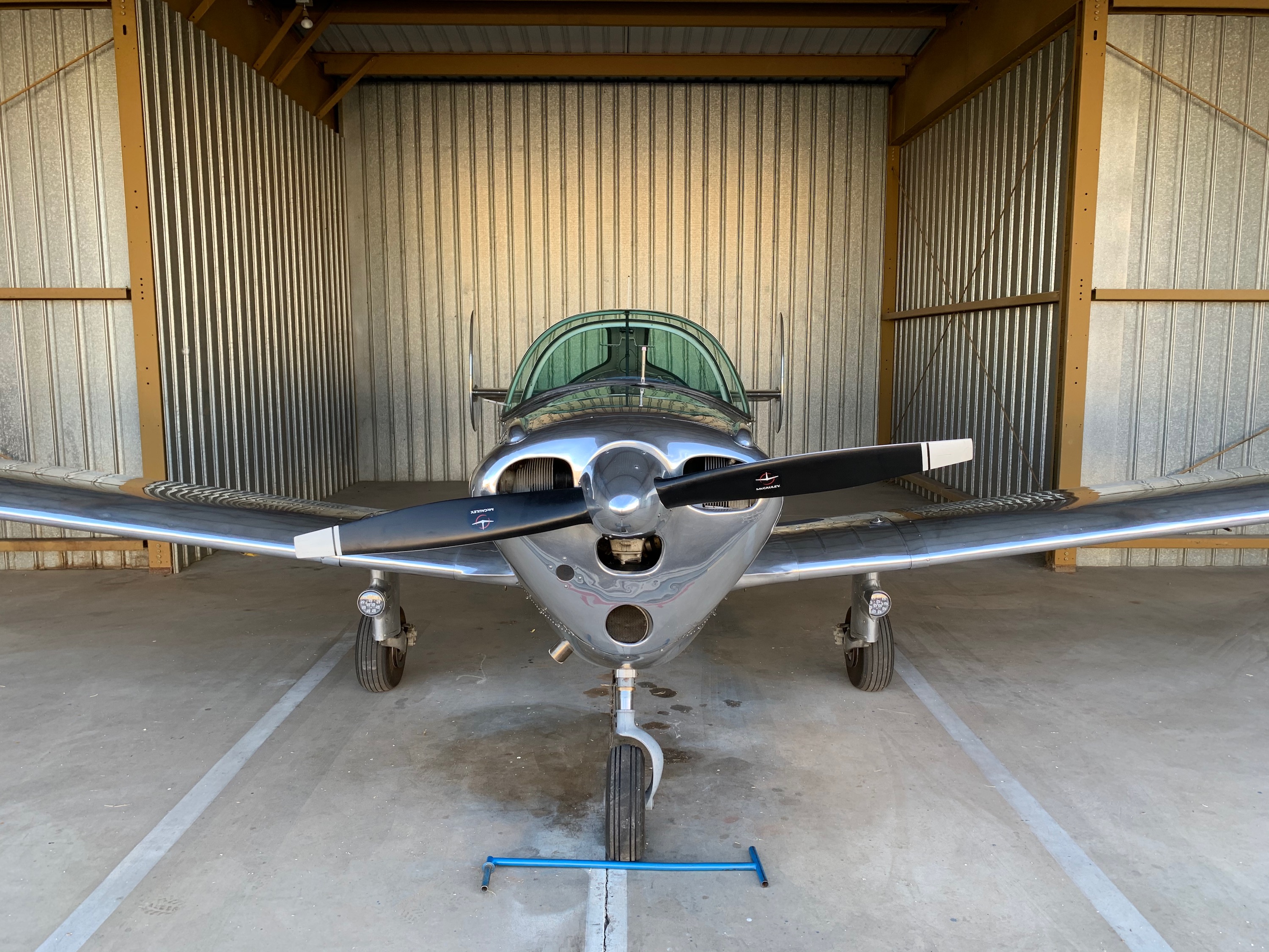
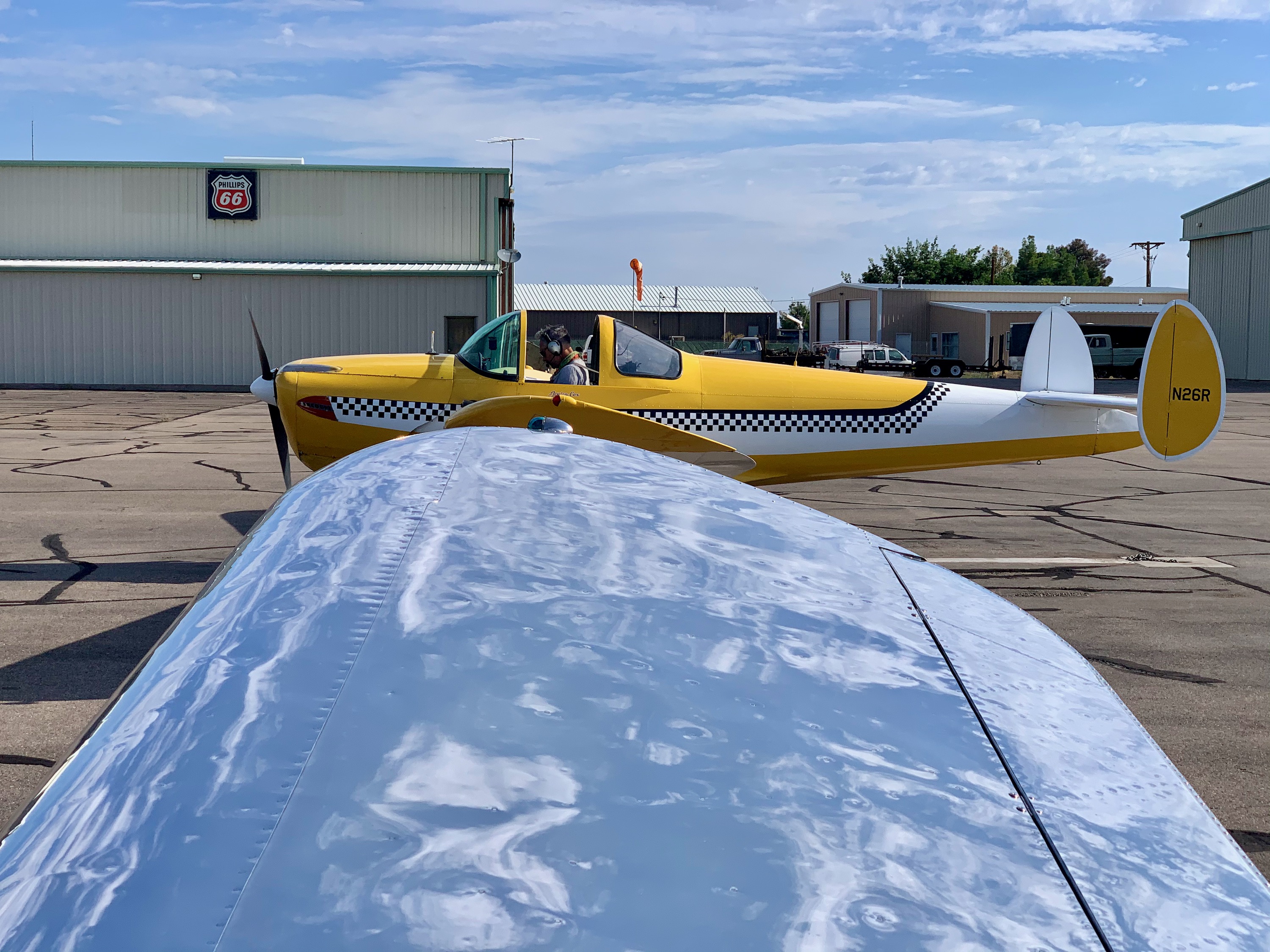
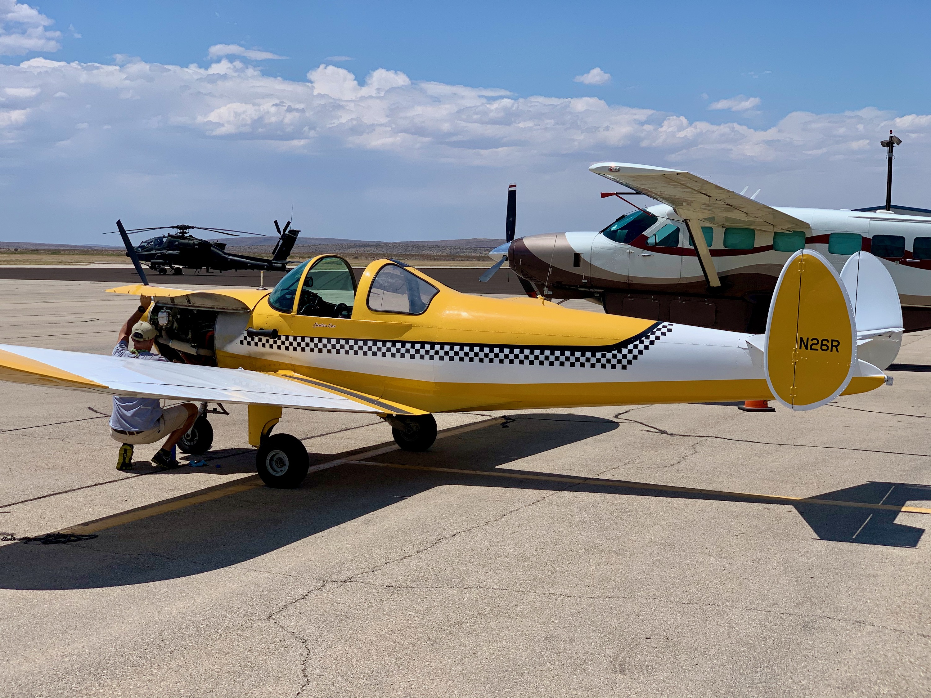
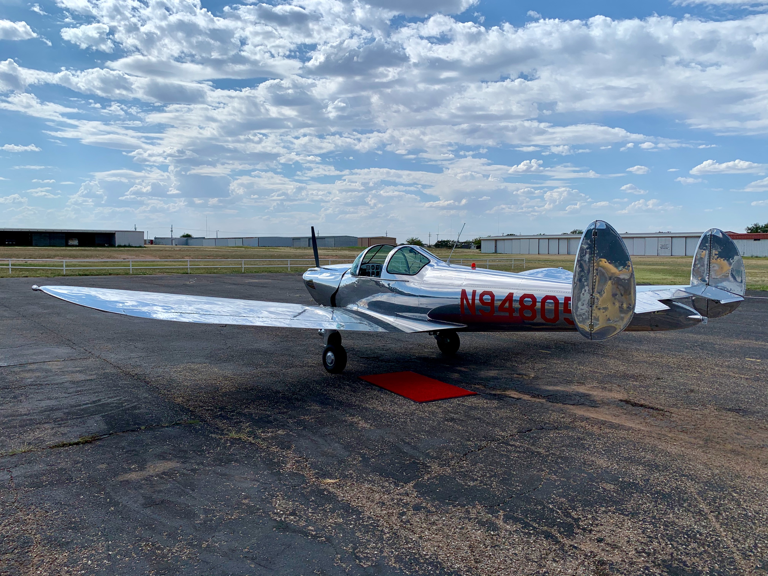
N23R
Jessica's Ercoupe - N23R. Nice to finally see it! The new bubble canopy (recently installed) looks great.
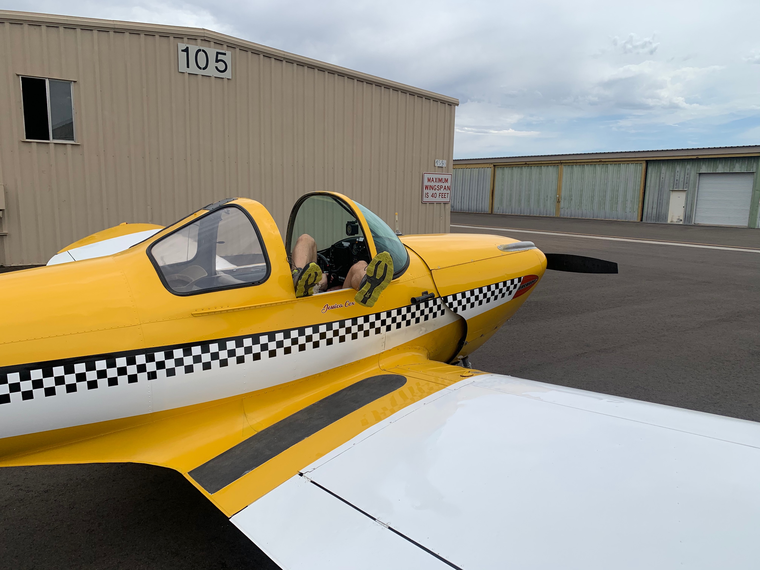
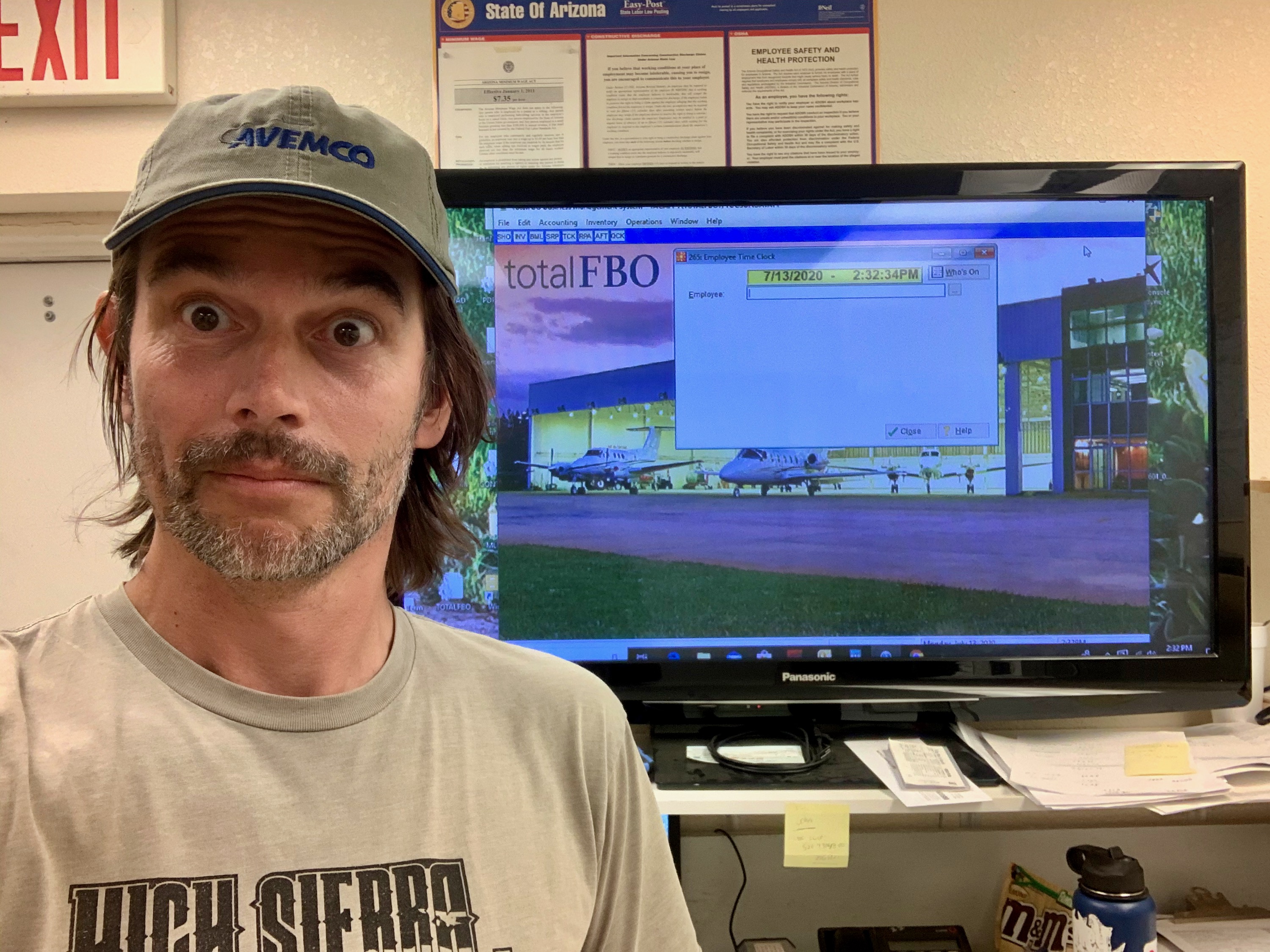
Ercoupe Maintenance Position
This position will be well known to anyone famiilar with Ercoupe maintenance. Checking things over.
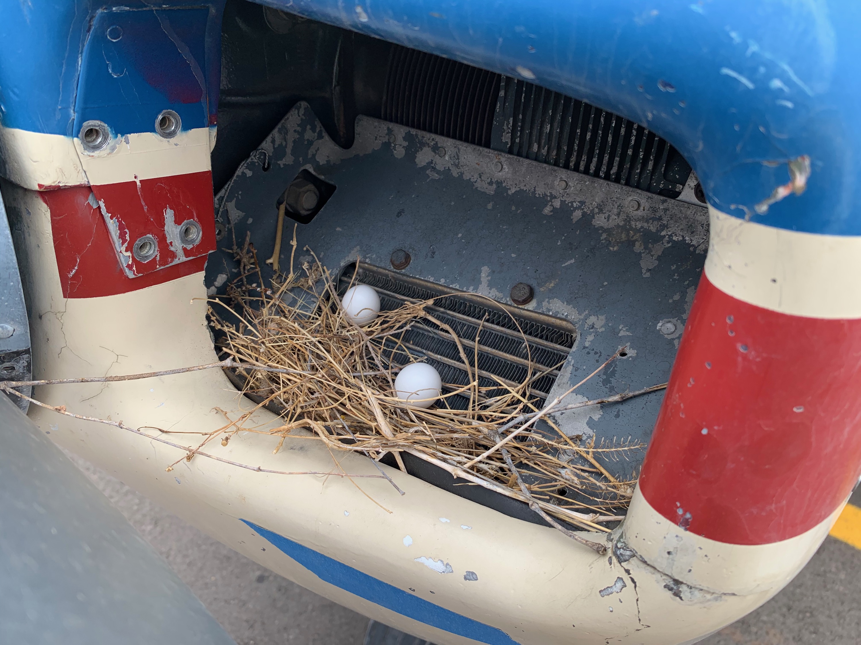
Preflight
This is why we check all inlets for 'foreign objects' before flight!
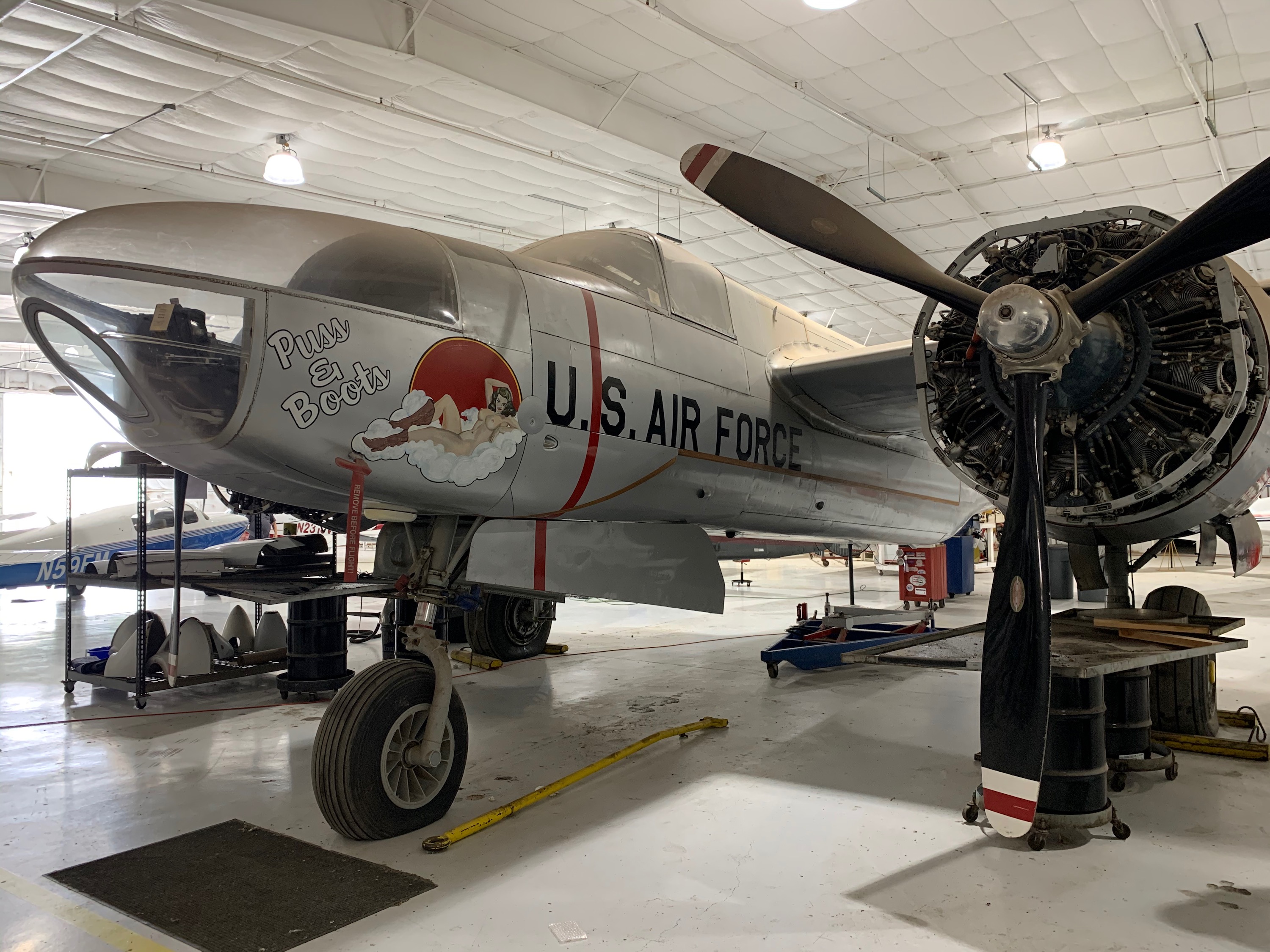
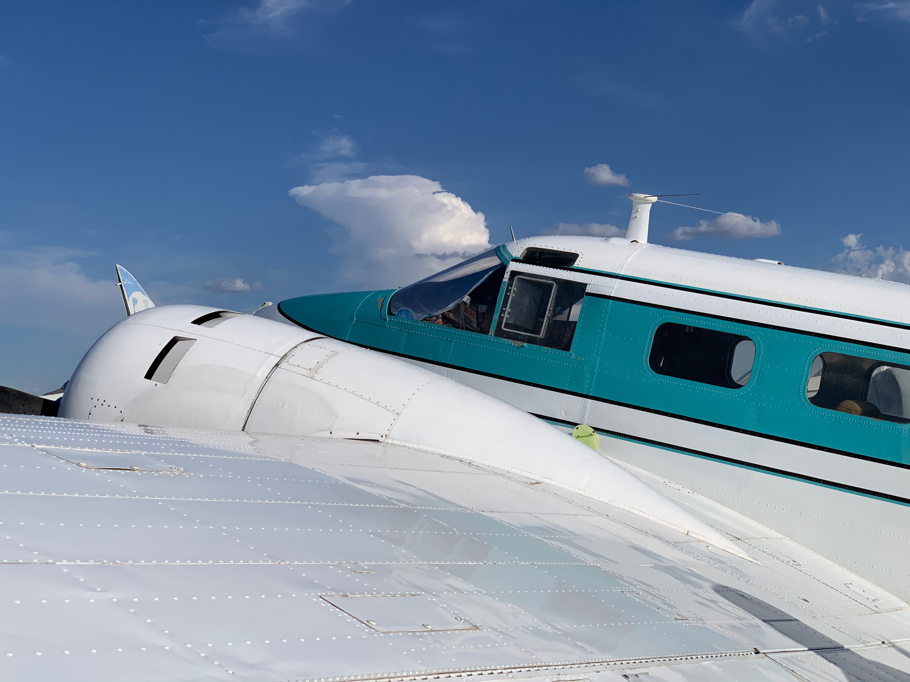
Invader
Douglas A-26 Invader at Marana.
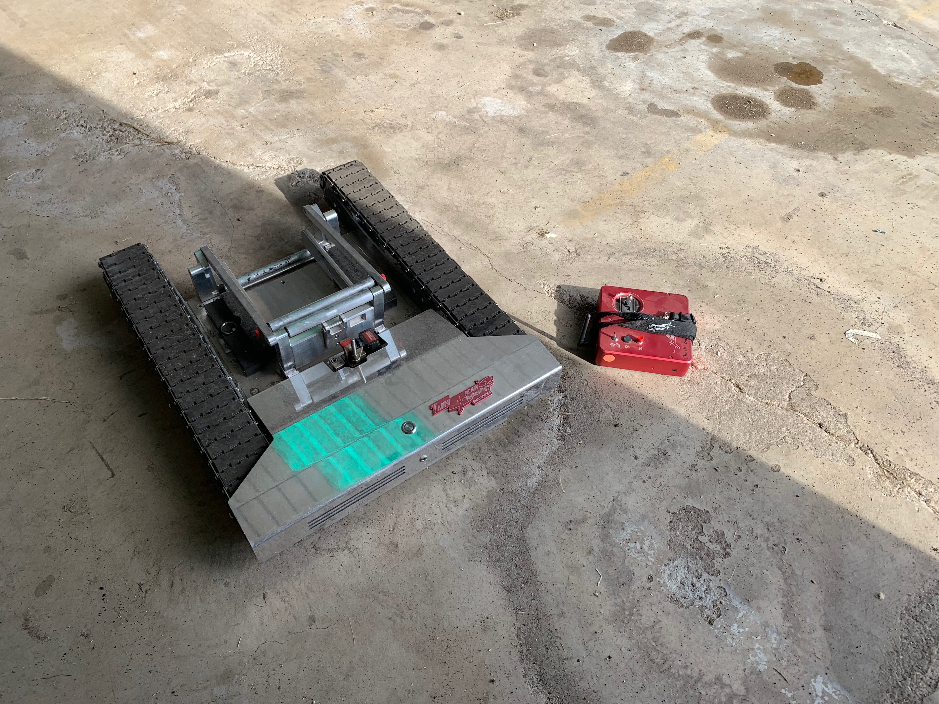
Radio Control
This is Jessica's neat tug for her Ercoupe. She can use the radio control box to drive this 'tank' around, specifically to tow her Ercoupe in and out of the hangar. I had a go, it's like your aircraft becomes radio controlled!
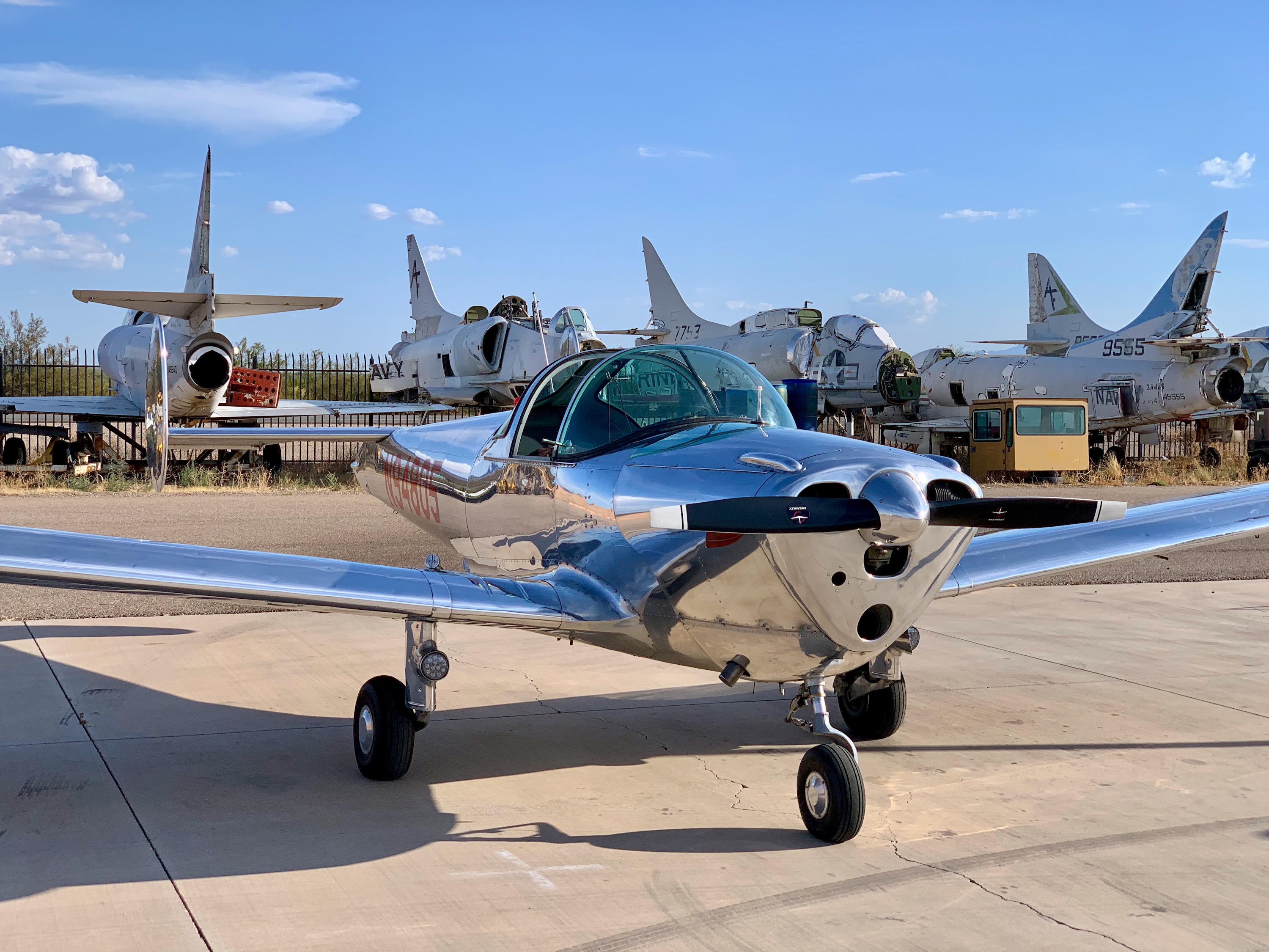
Marana, Arizona
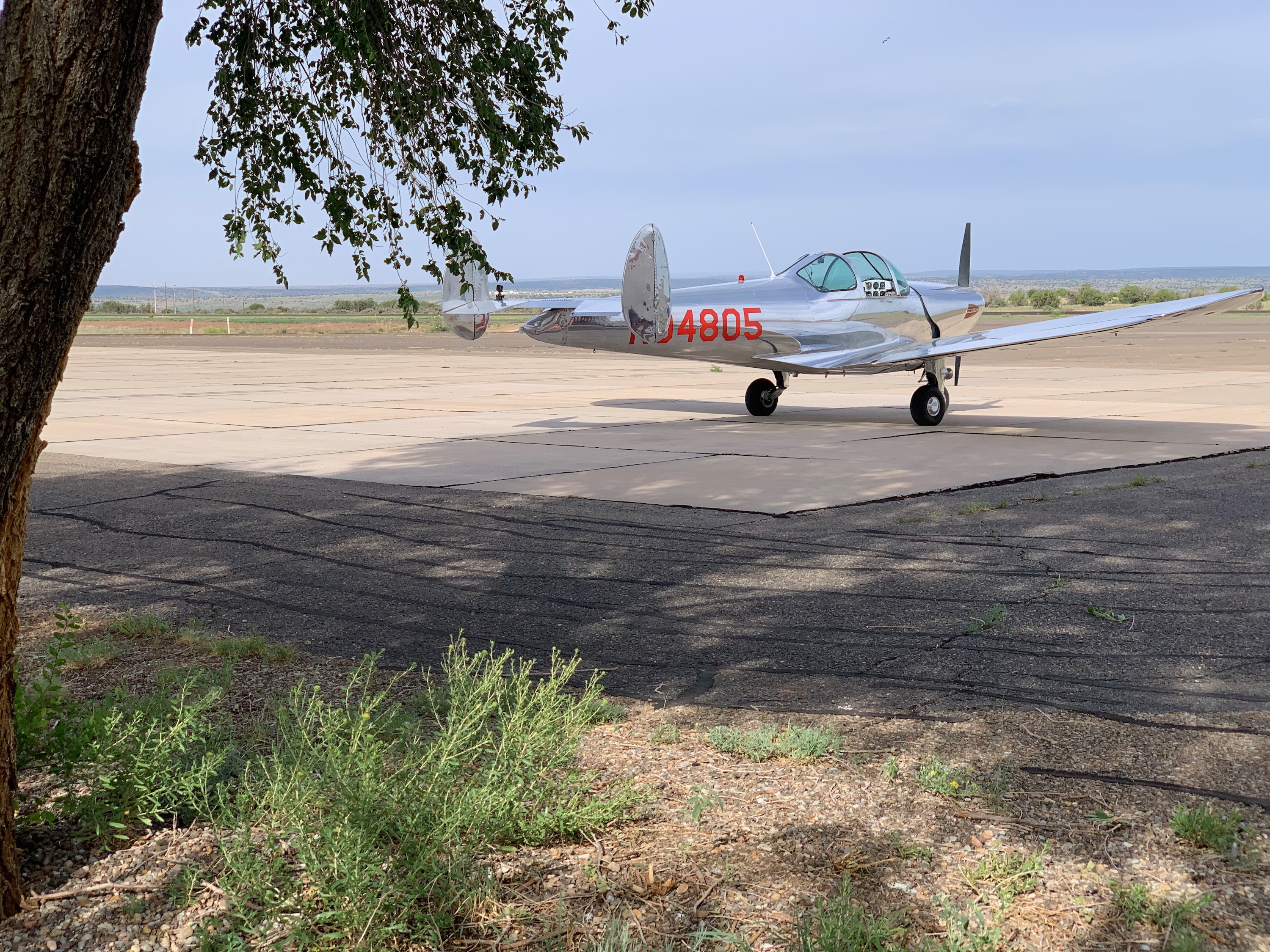
805 on the fuel ramp at Marana airport.
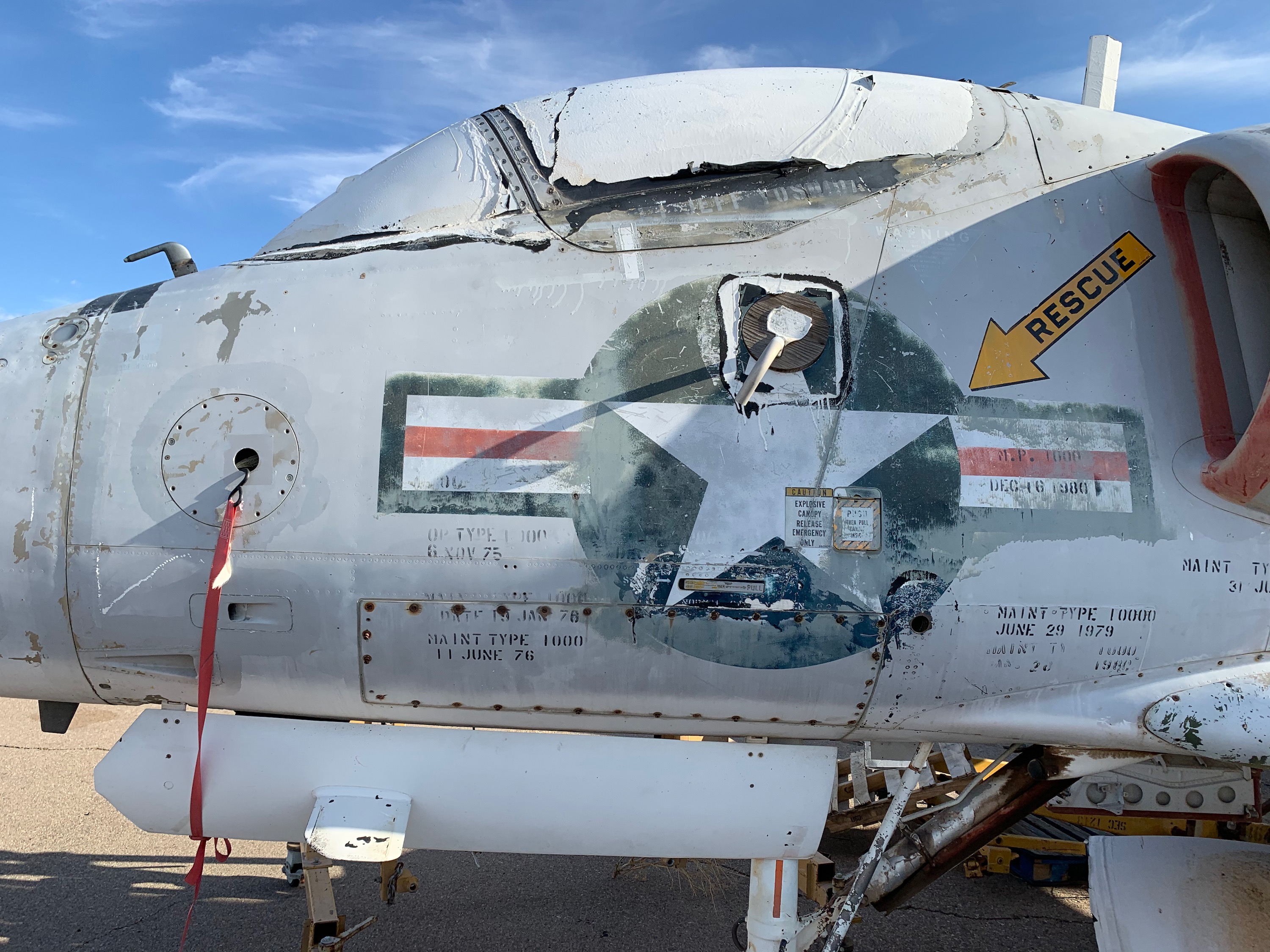
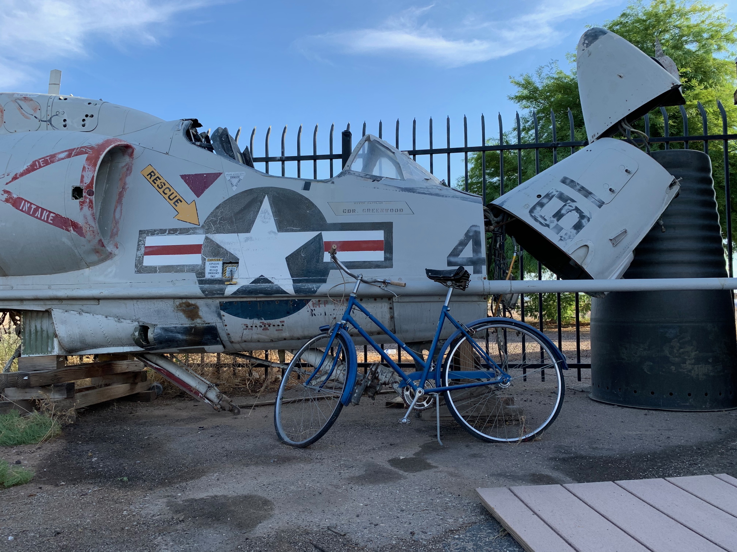
Skyhawk
An A-4 Skyhawk at Marana. There were a bunch of old A-4's there.
Marana, Arizona
Hangar for the night at Marana, ready for departure in the morning.
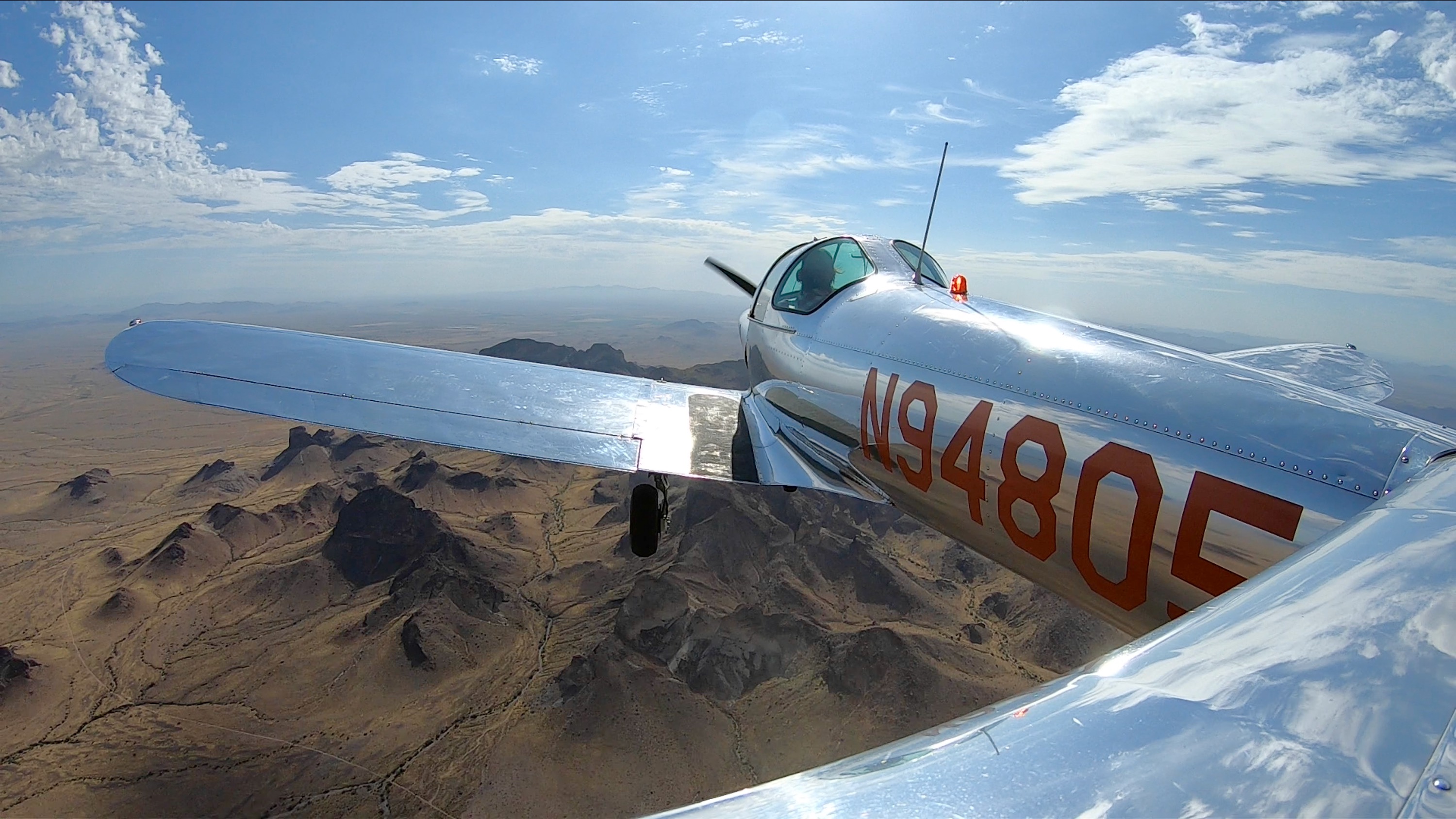
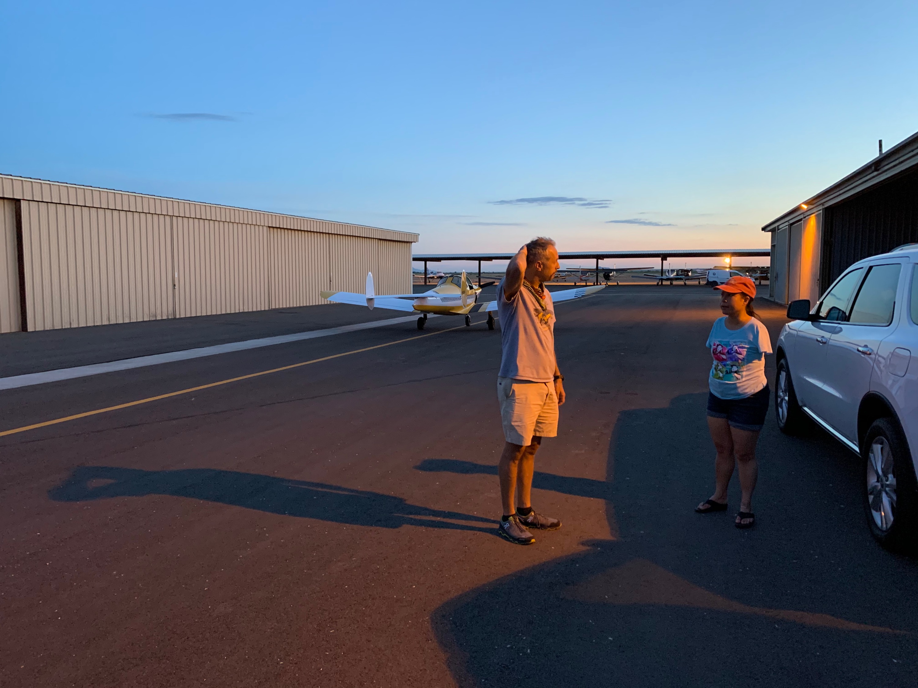
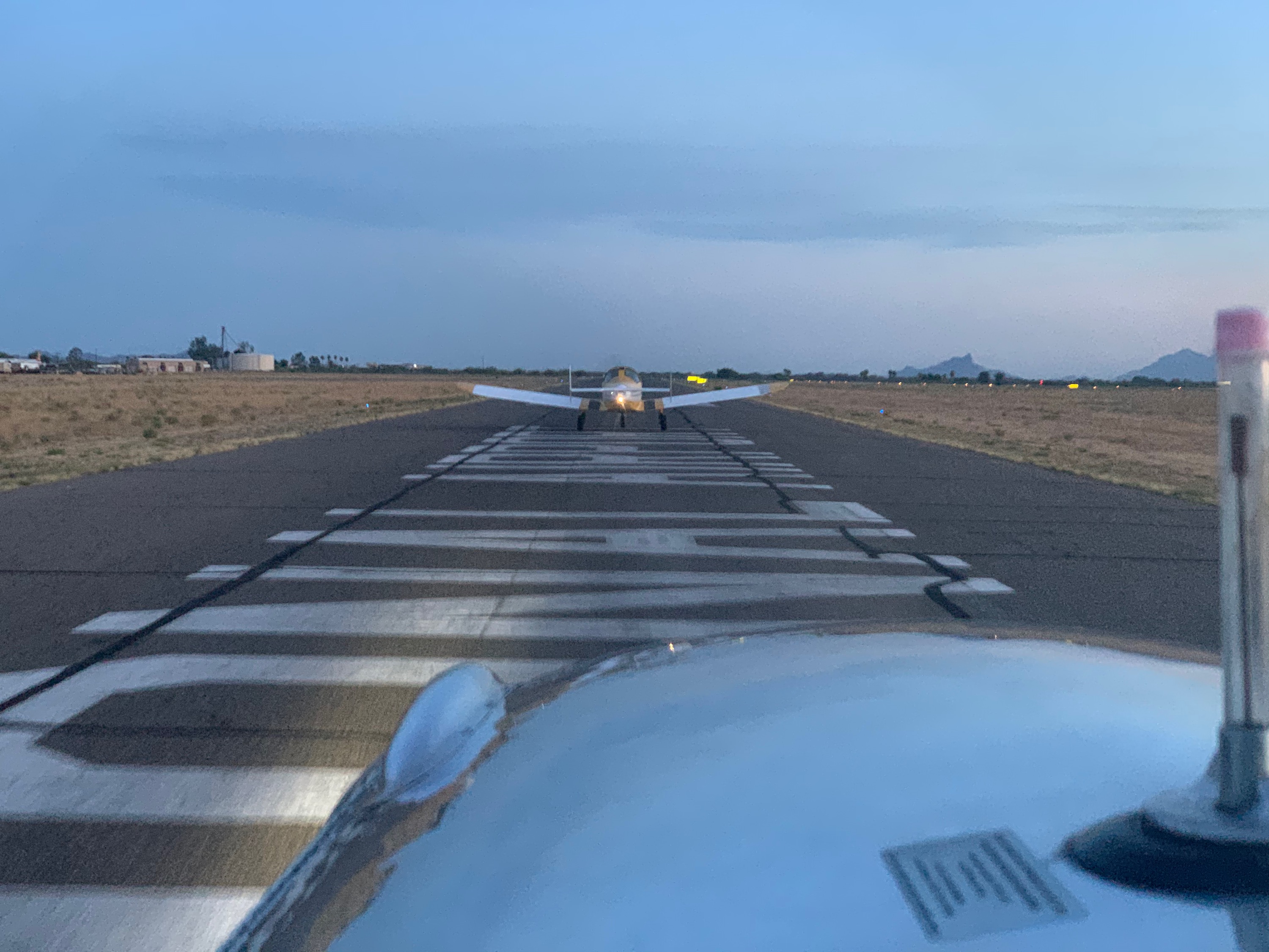
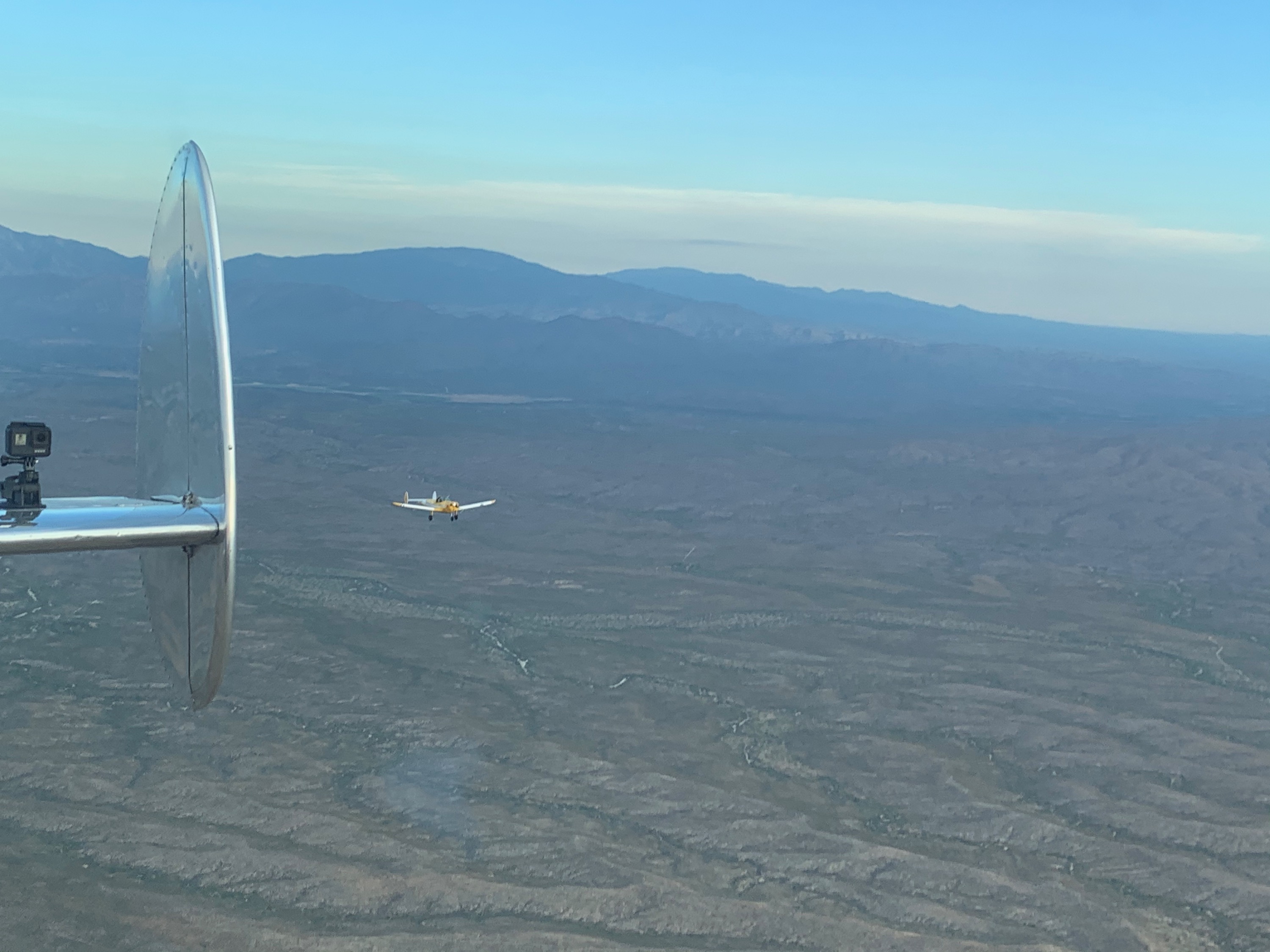
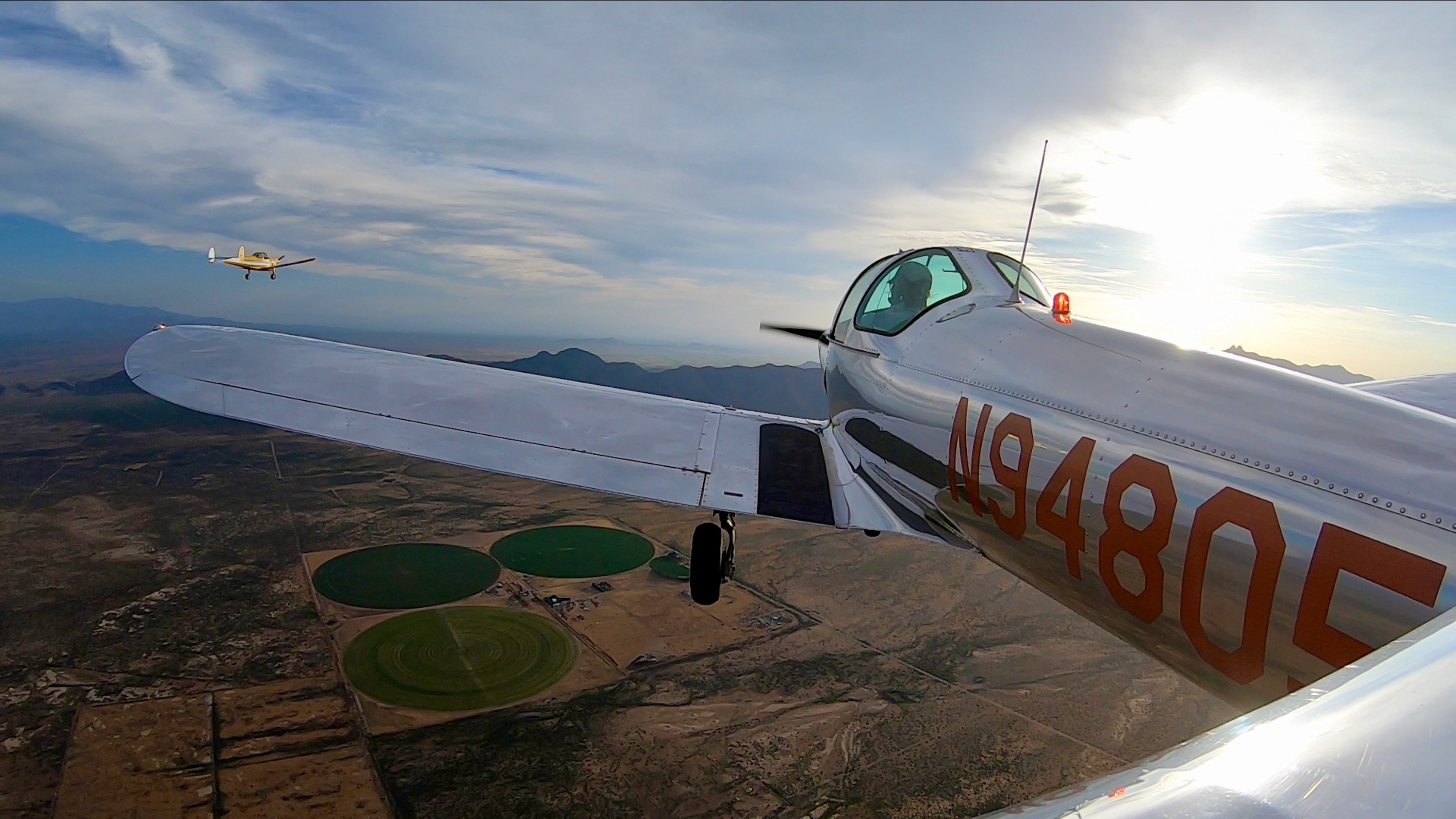
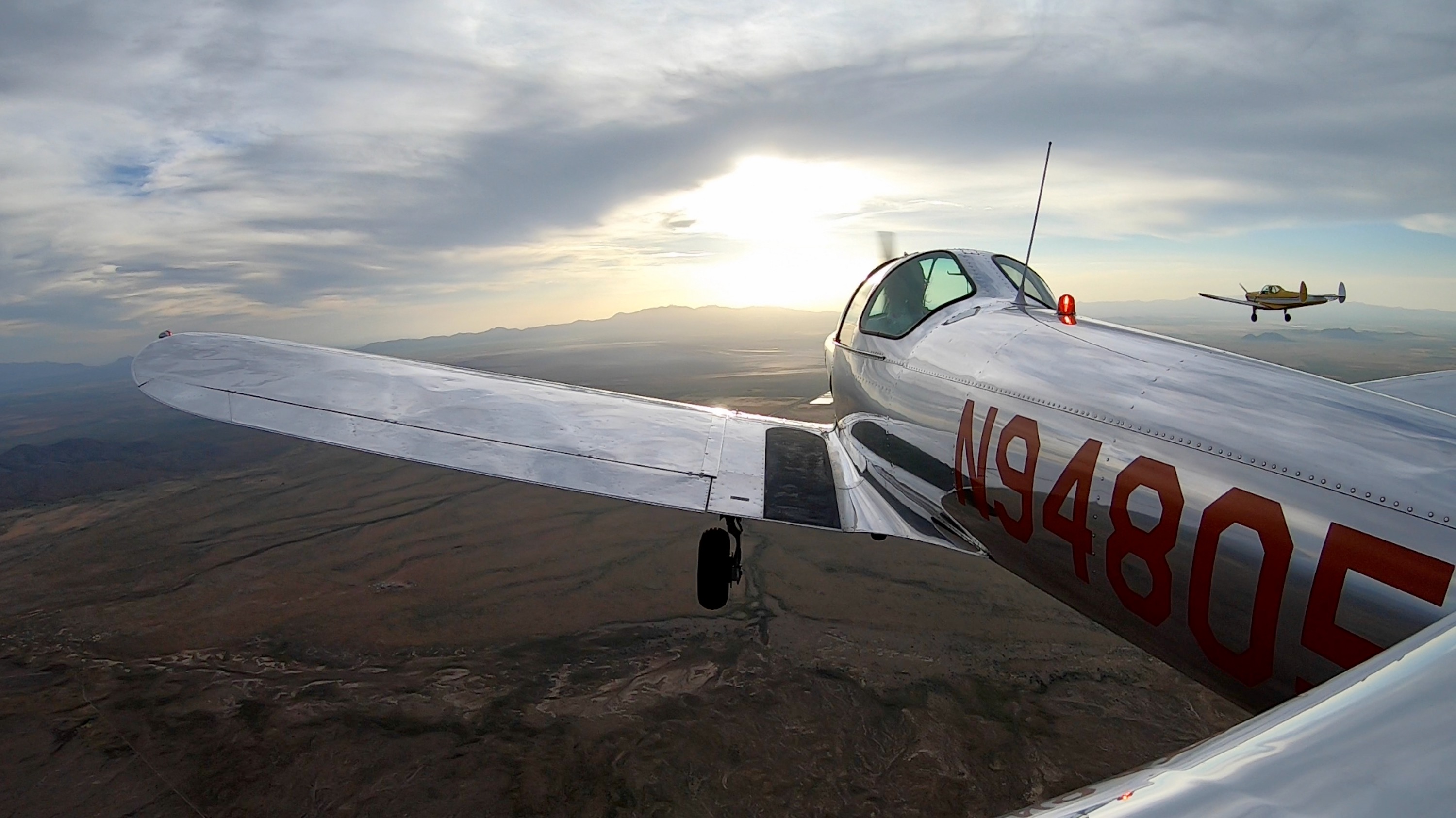
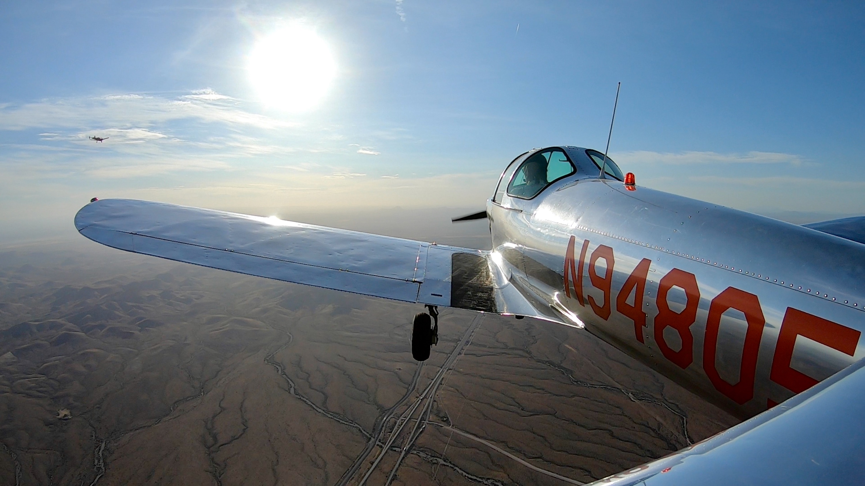
Marana, Arizona
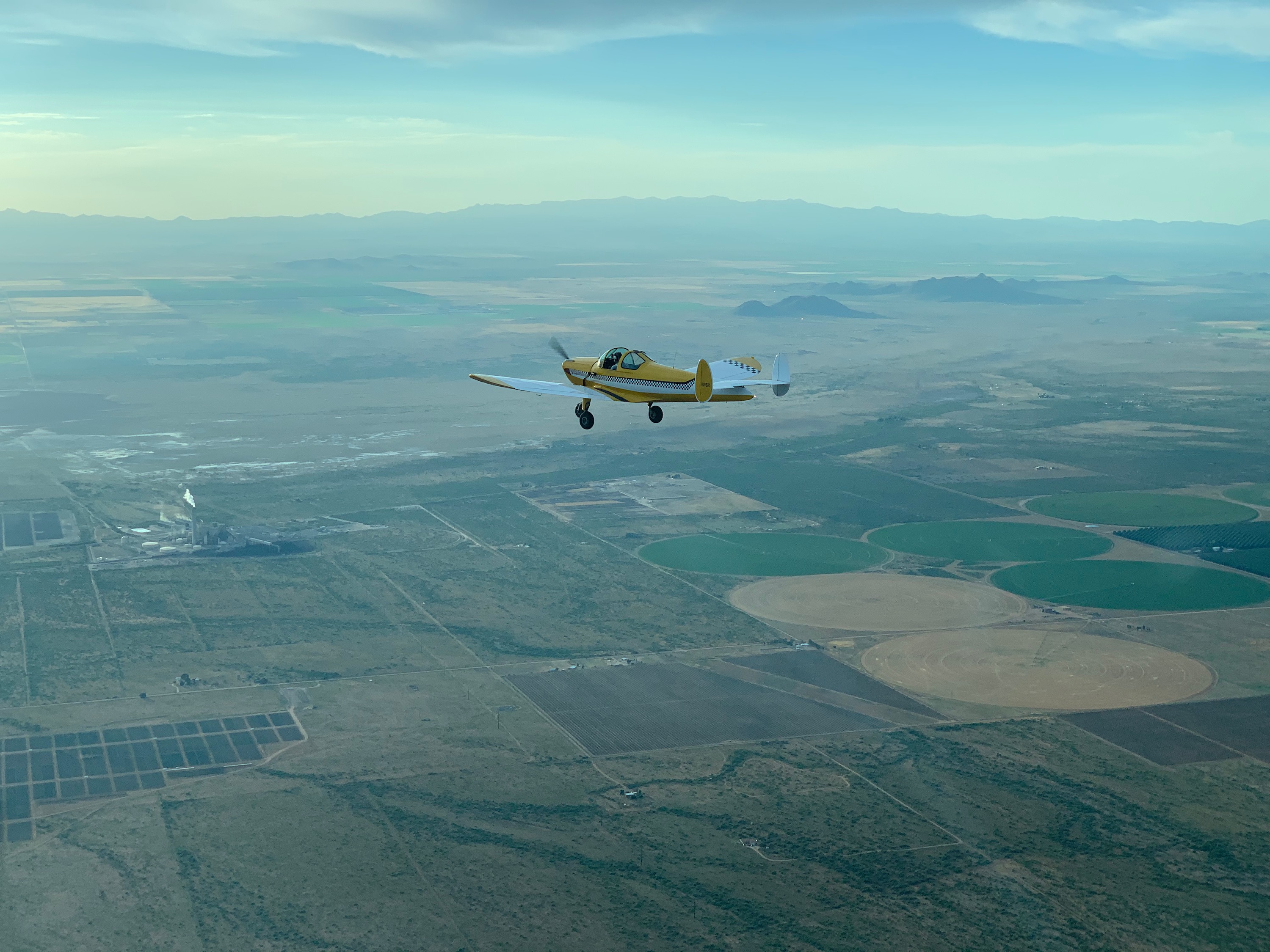
05:16 departure from Marana, both Coupes take to the air.
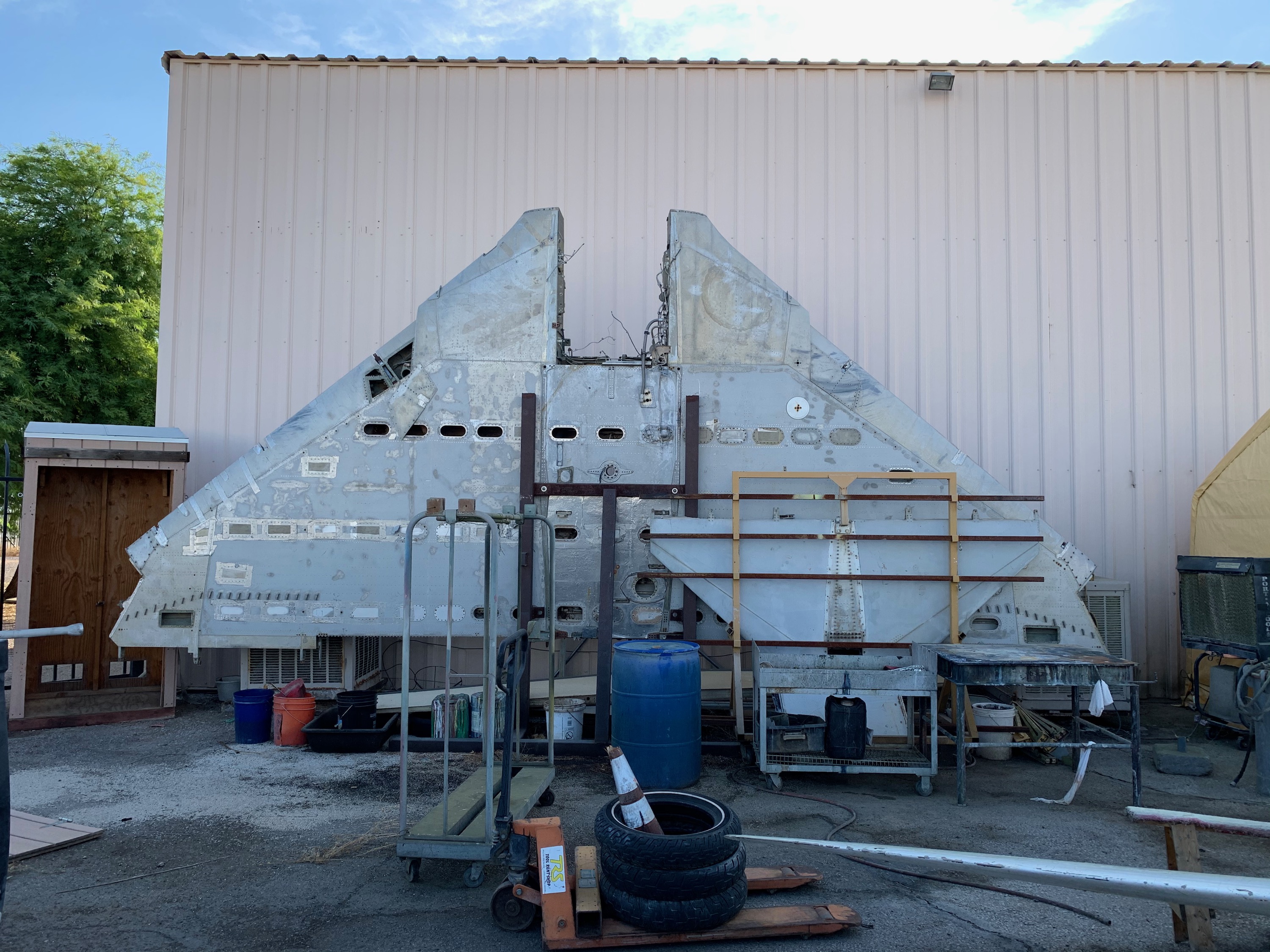
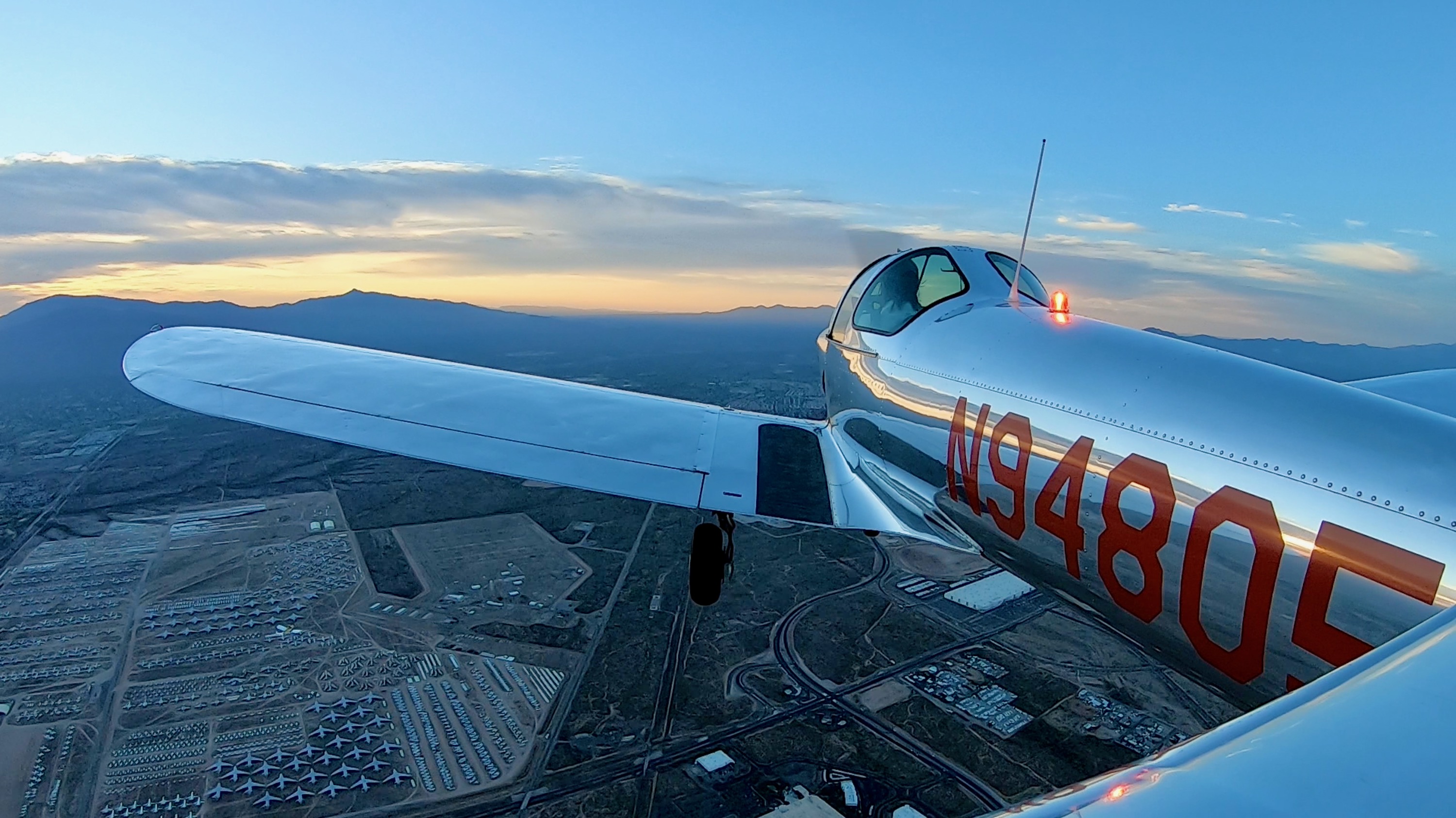
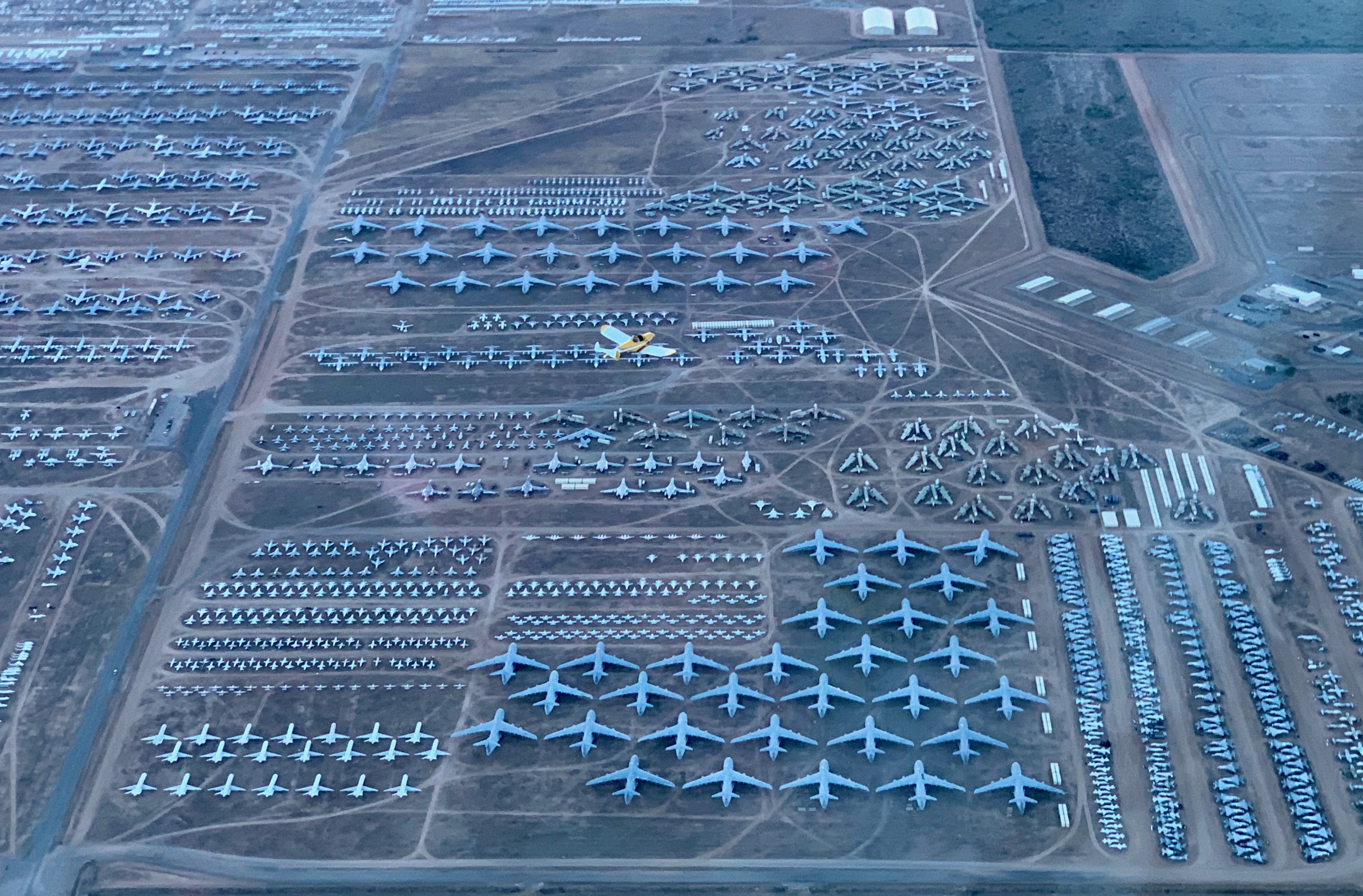
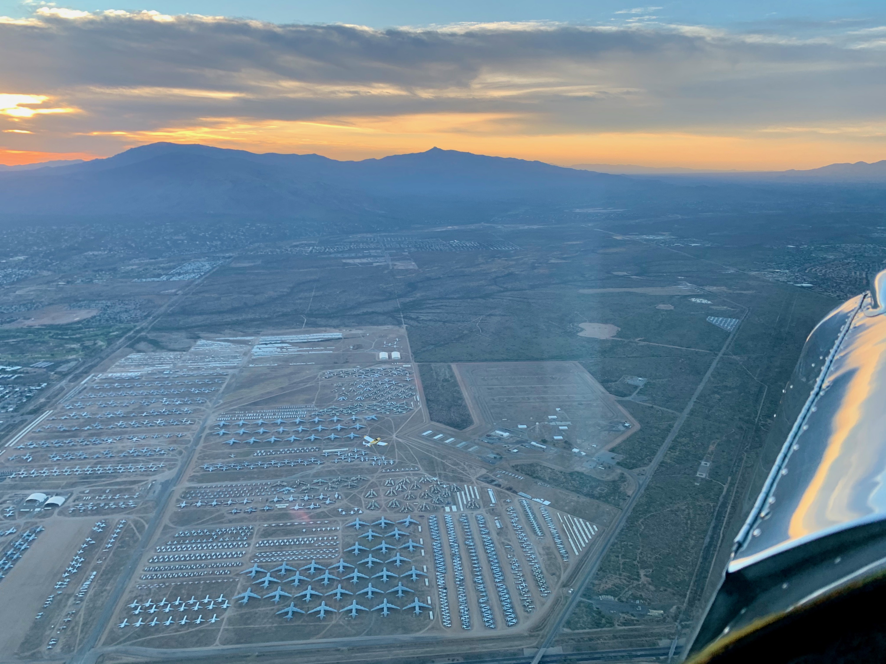
Davis Monthan AFB
Check out the B-52's with the wings cut off, to satisfy the Soviet satelite cameras.
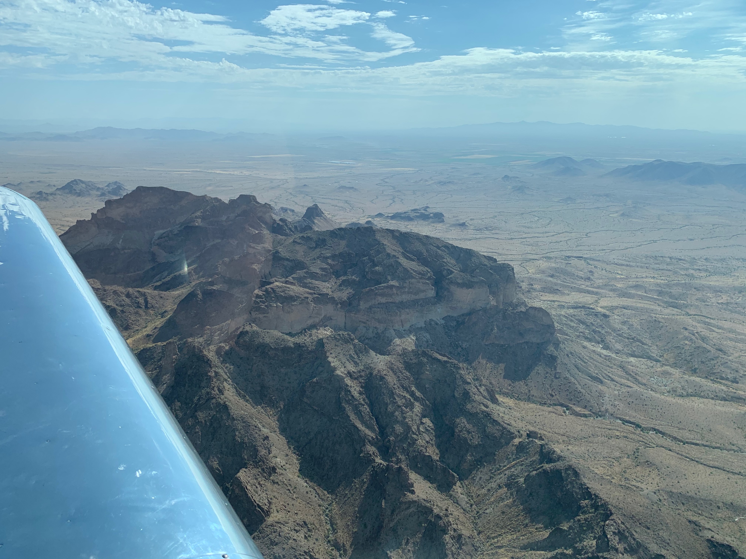
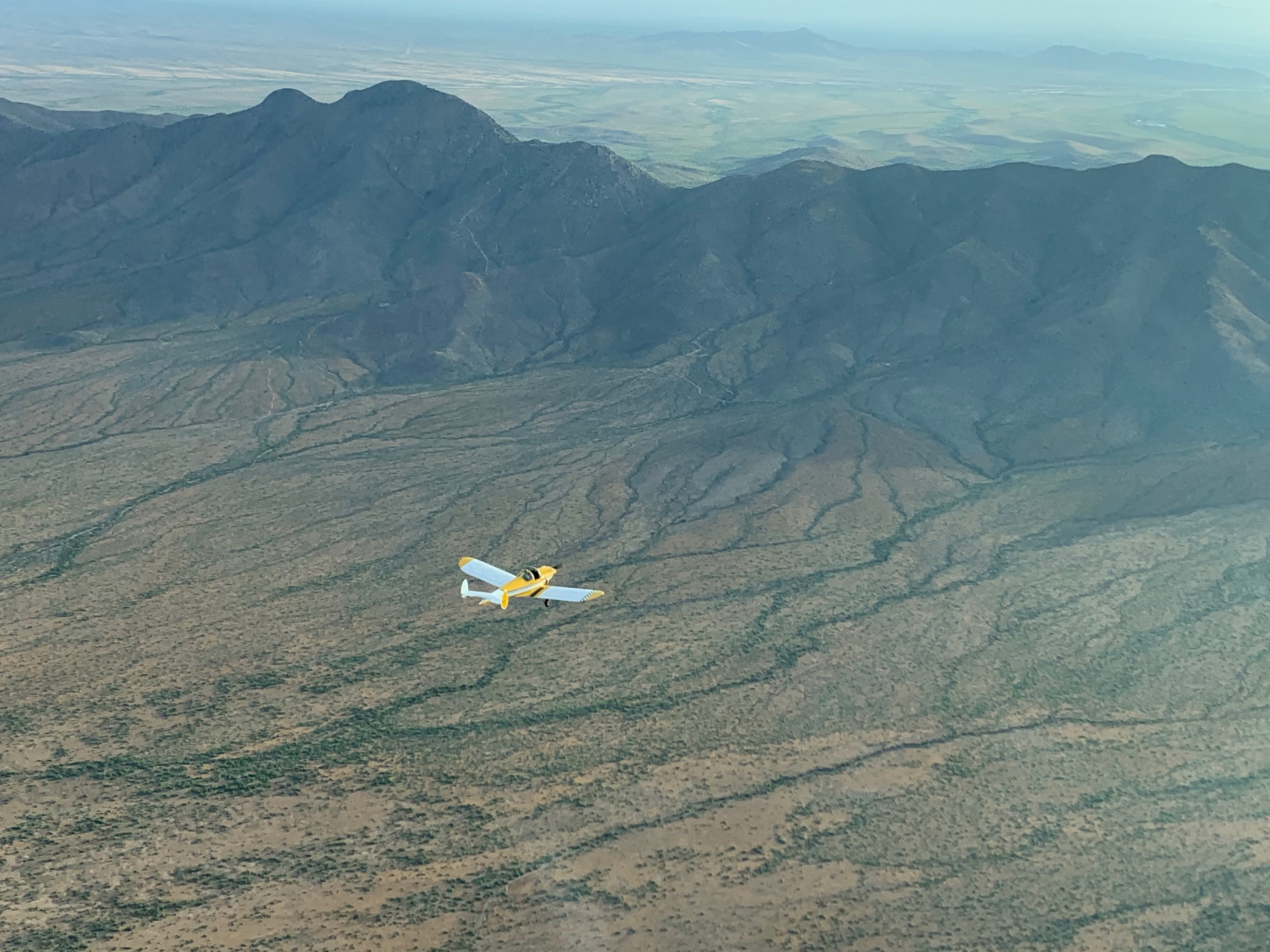
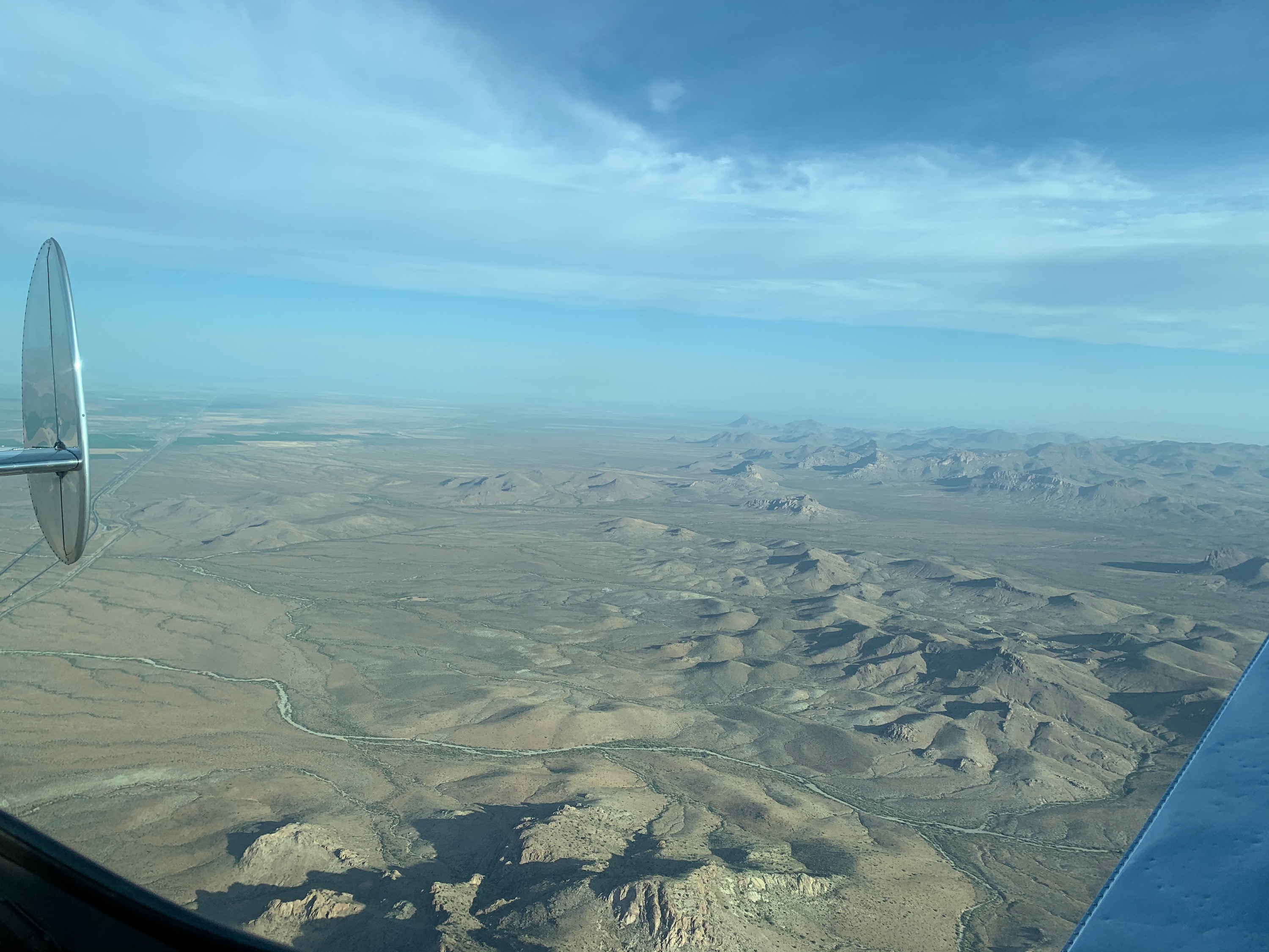
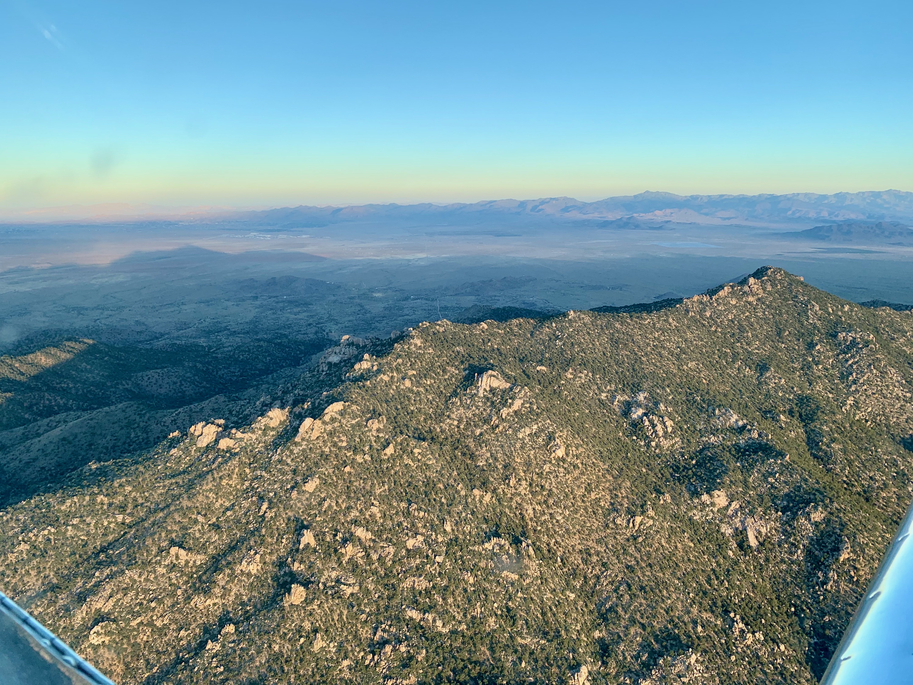
Dos Cabezas Peaks, Arizona
Highest peak, 8,354'.
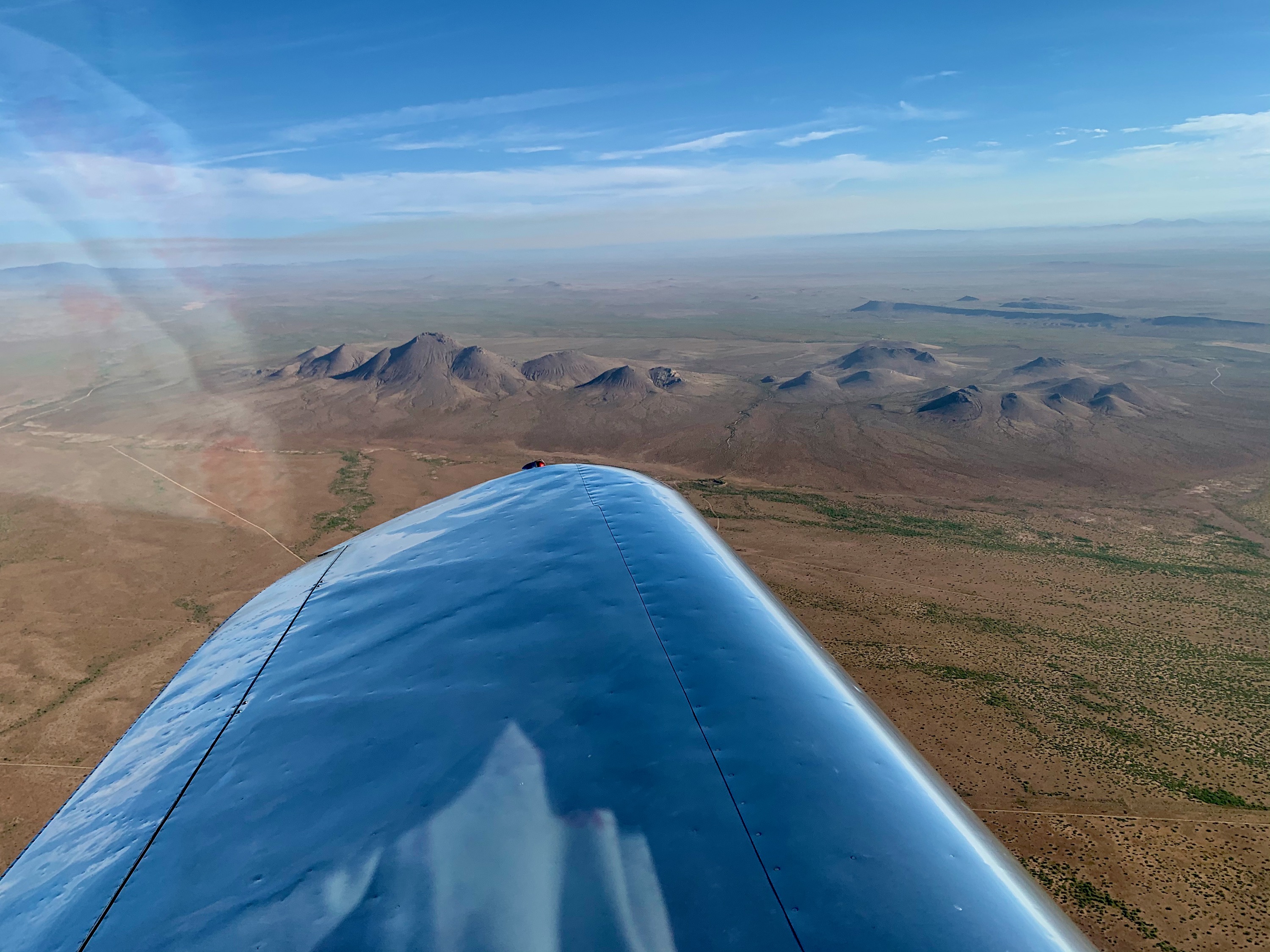
Grandmother Mountain
Just West of Deming, NM, North of I-10.
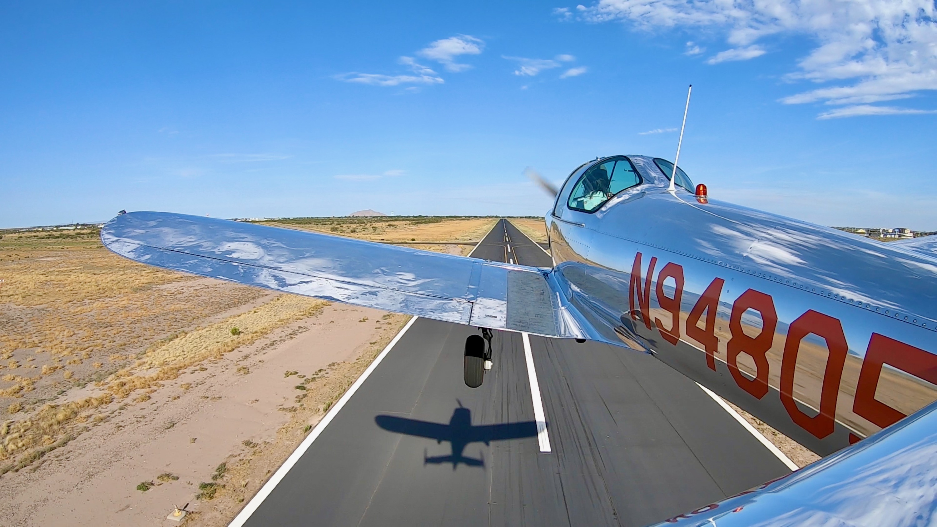
Landing
Full stop at Deming, New Mexico.
Deming Municiple Airport
Made it to our first fuel stop of this 'two Coupes' part of the flight. As ever, early morning flights are the most beautiful for light and calm winds.
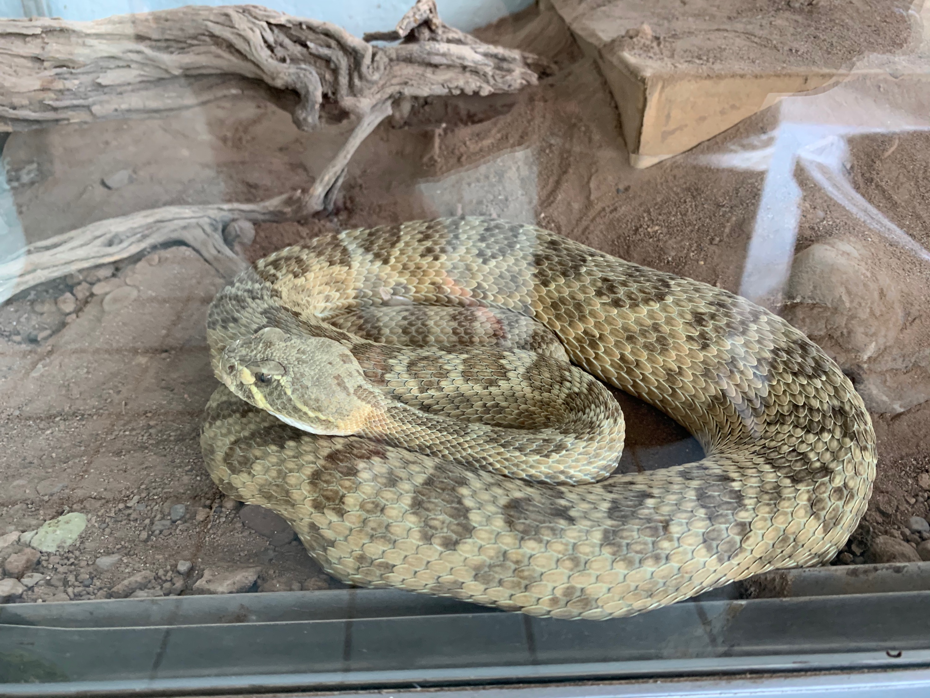
Ralphy
Rattlesnake in a cage at Deming, NM.
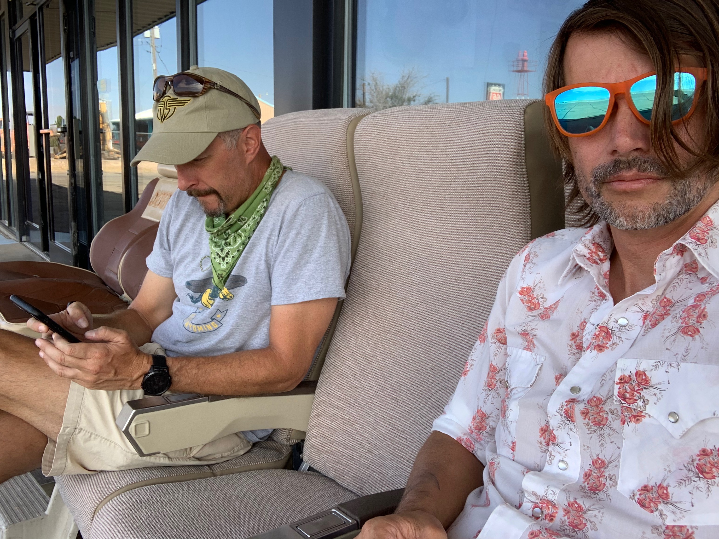
Flight Planning
Doing some planning for the next leg. Or maybe just checking Instagram.
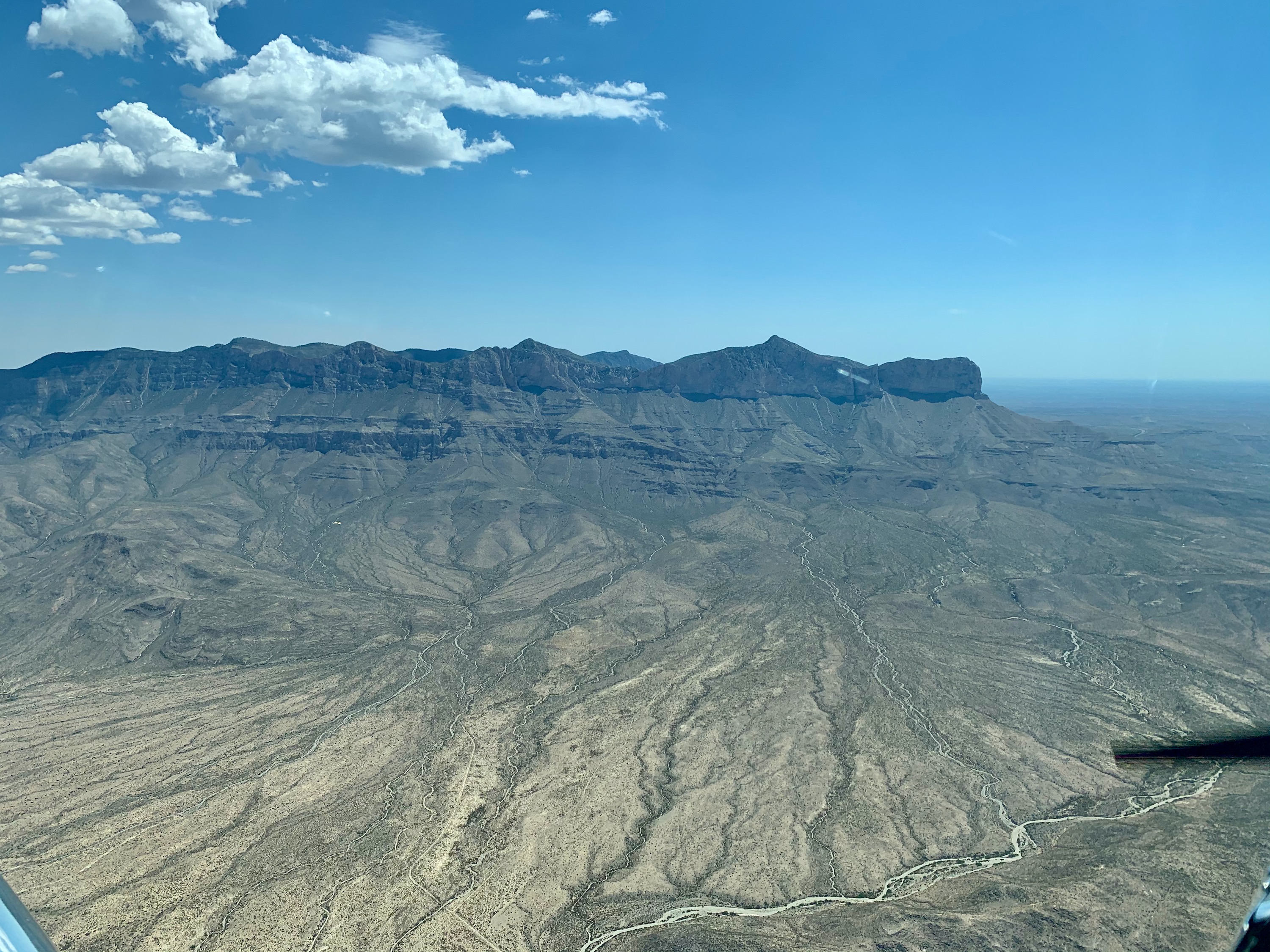
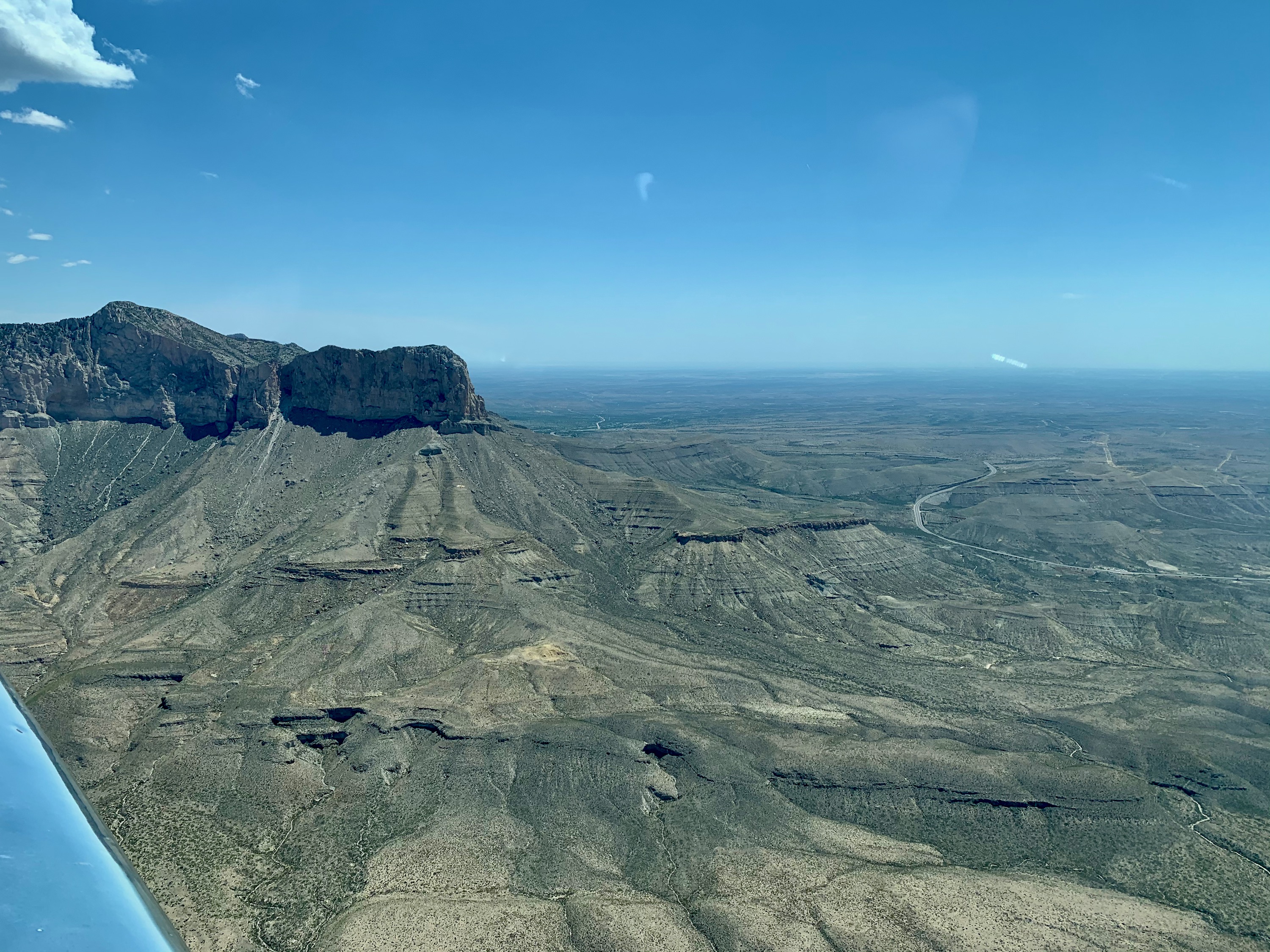
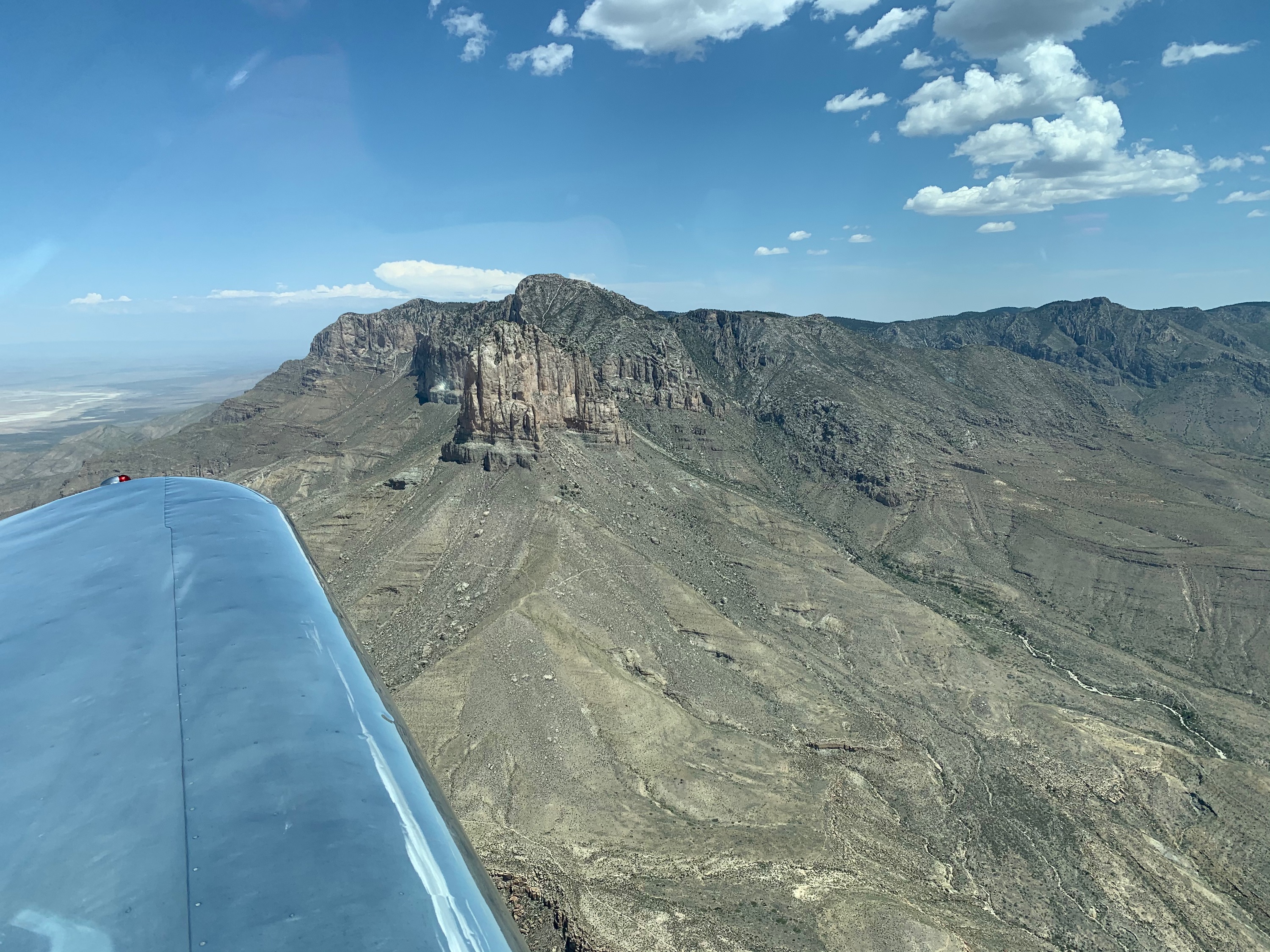
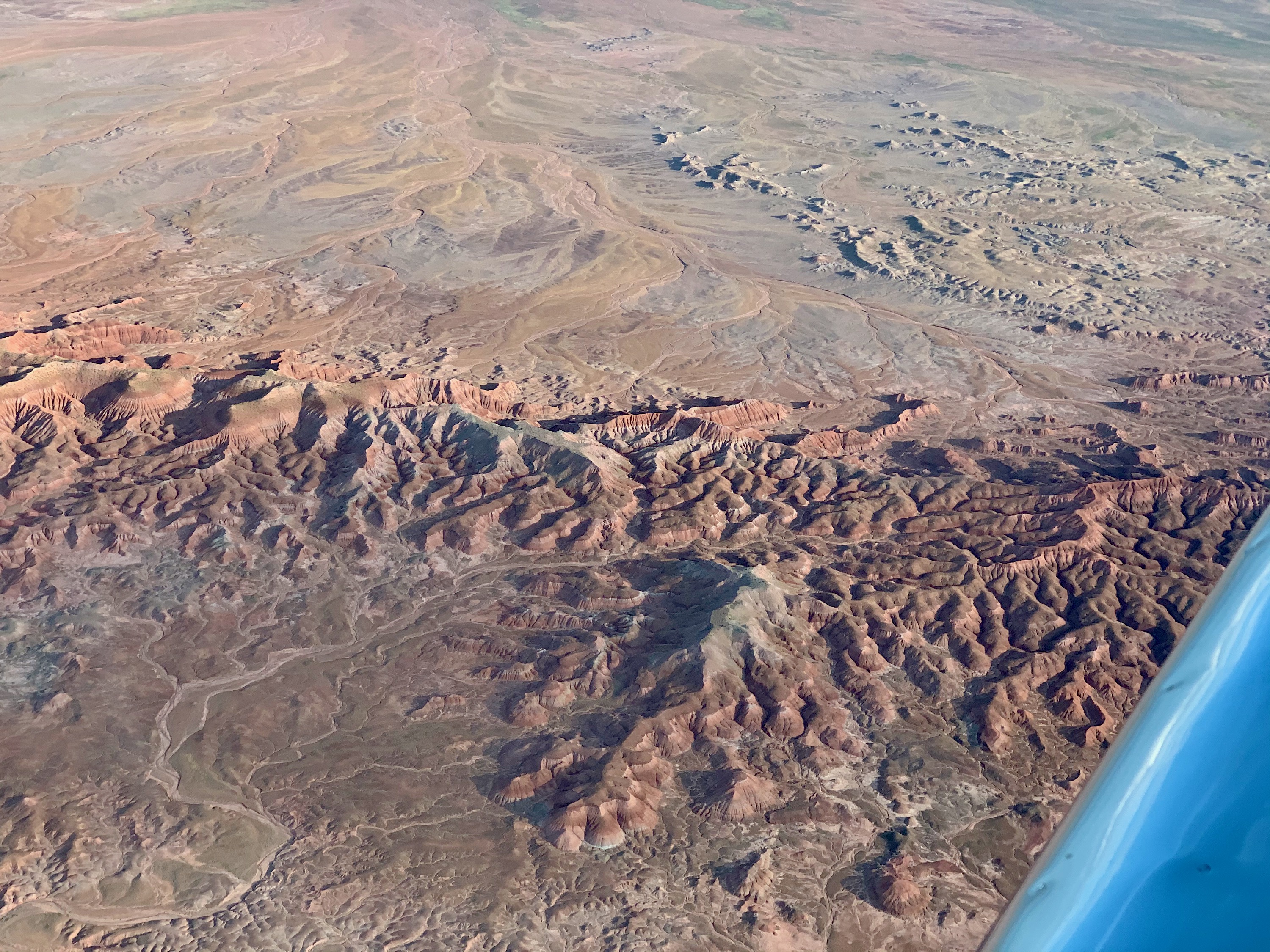
Guadalupe Mountains National Park, TX
Guadalupe Mountains National Park, TX
Guadalupe Mountains National Park, TX
El Capitan in the fore, with Guadaloupe Peak (the highest point in Texas, at 8,749') behind it.
Cavern City Air Terminal, New Mexico
Mid afternoon, it was super hot here.
Cavern City Air Terminal, New Mexico
Ready to leave.
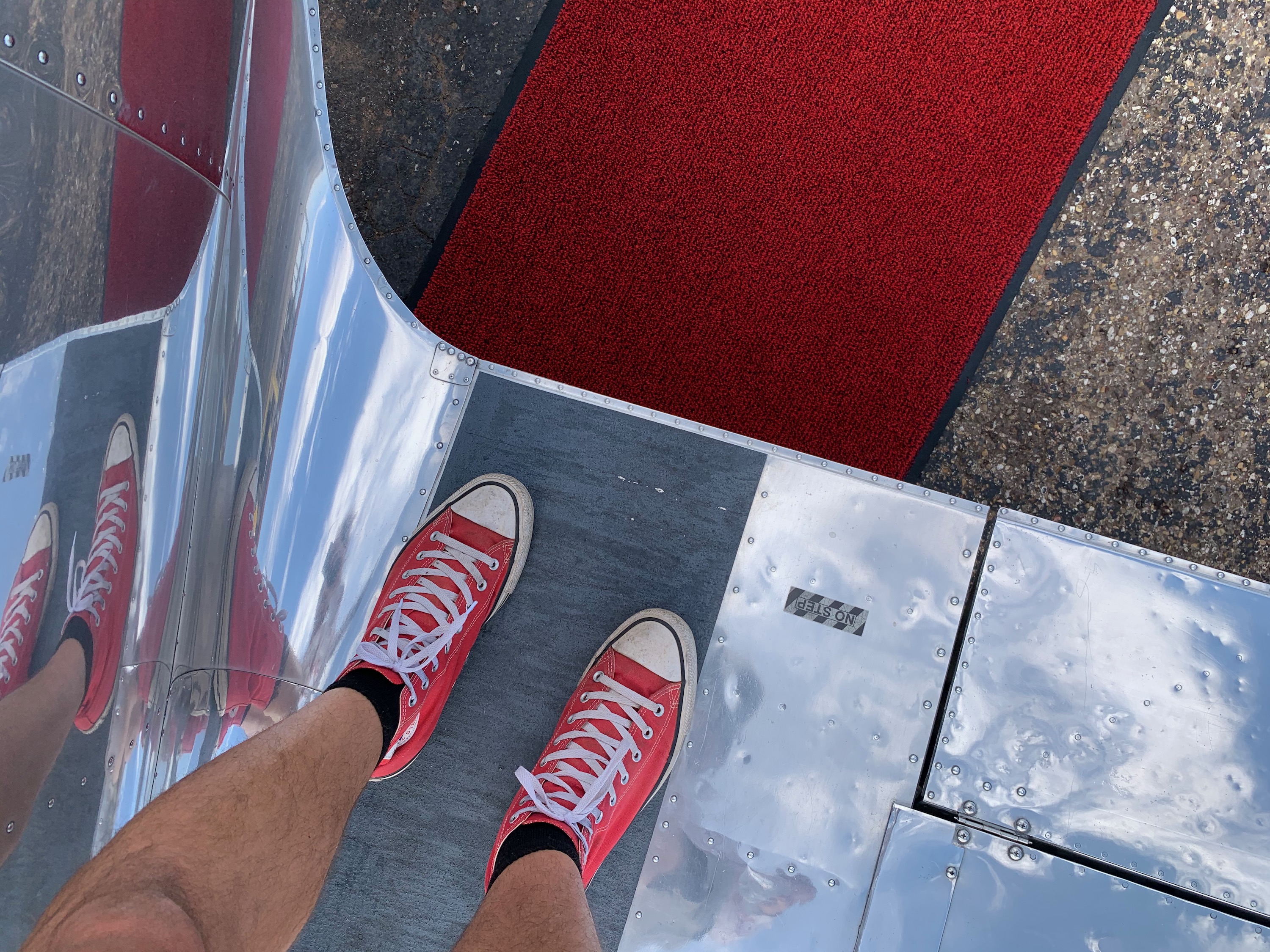
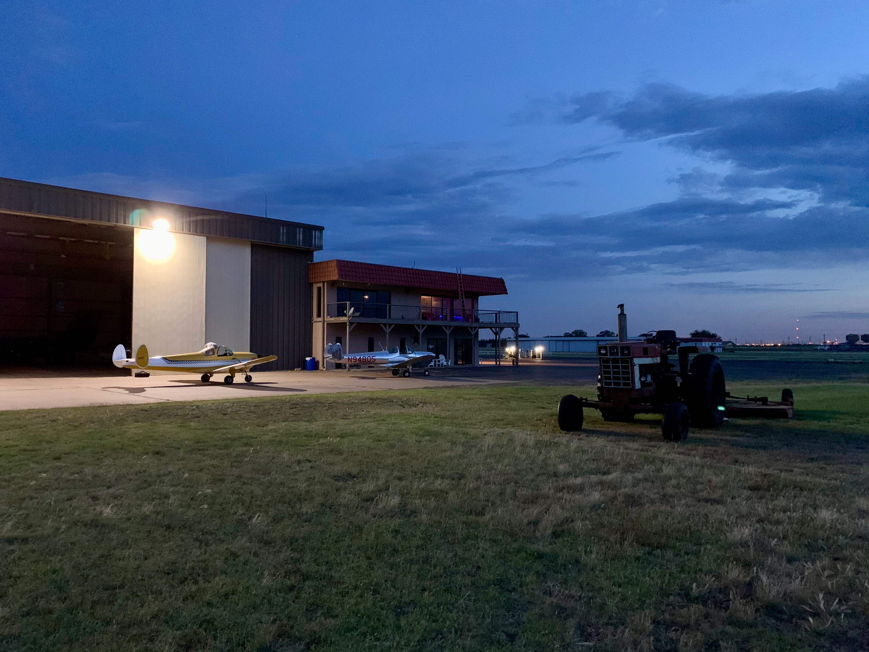
Lubbock, Texas
Lubbock Executive Airport literally rolled out the red carpet for us.
Lubbock, Texas
Admittedly, a very small red carpet, but a very nice touch. As was the ice cold bottle of water (did I mention that I left my flask in New Mexico?). I think some of my problems that day (a fuel pump problem, broken plexglass, a sprained wrist) were due to me making mistakes due to heat exhaustion.
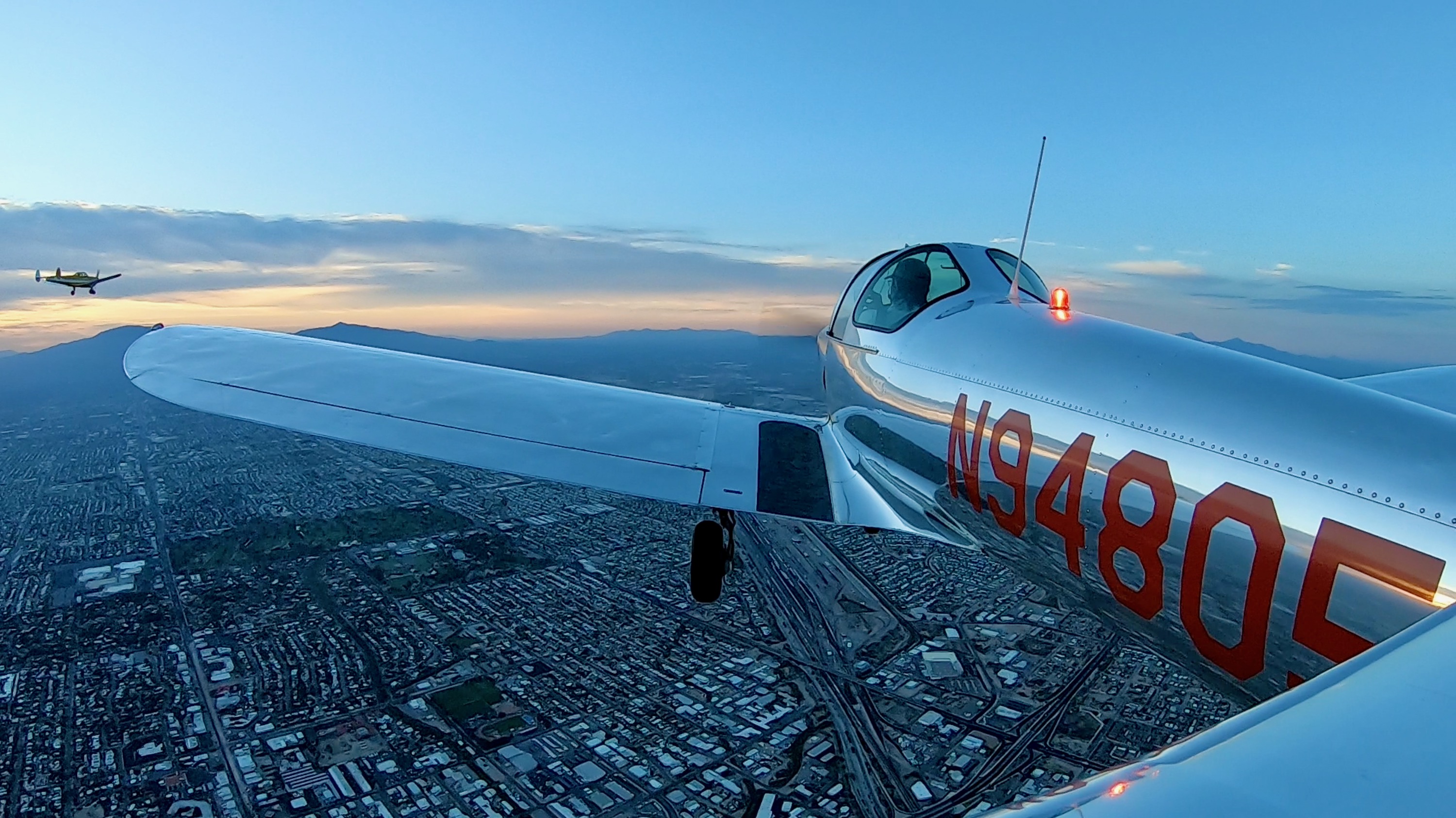
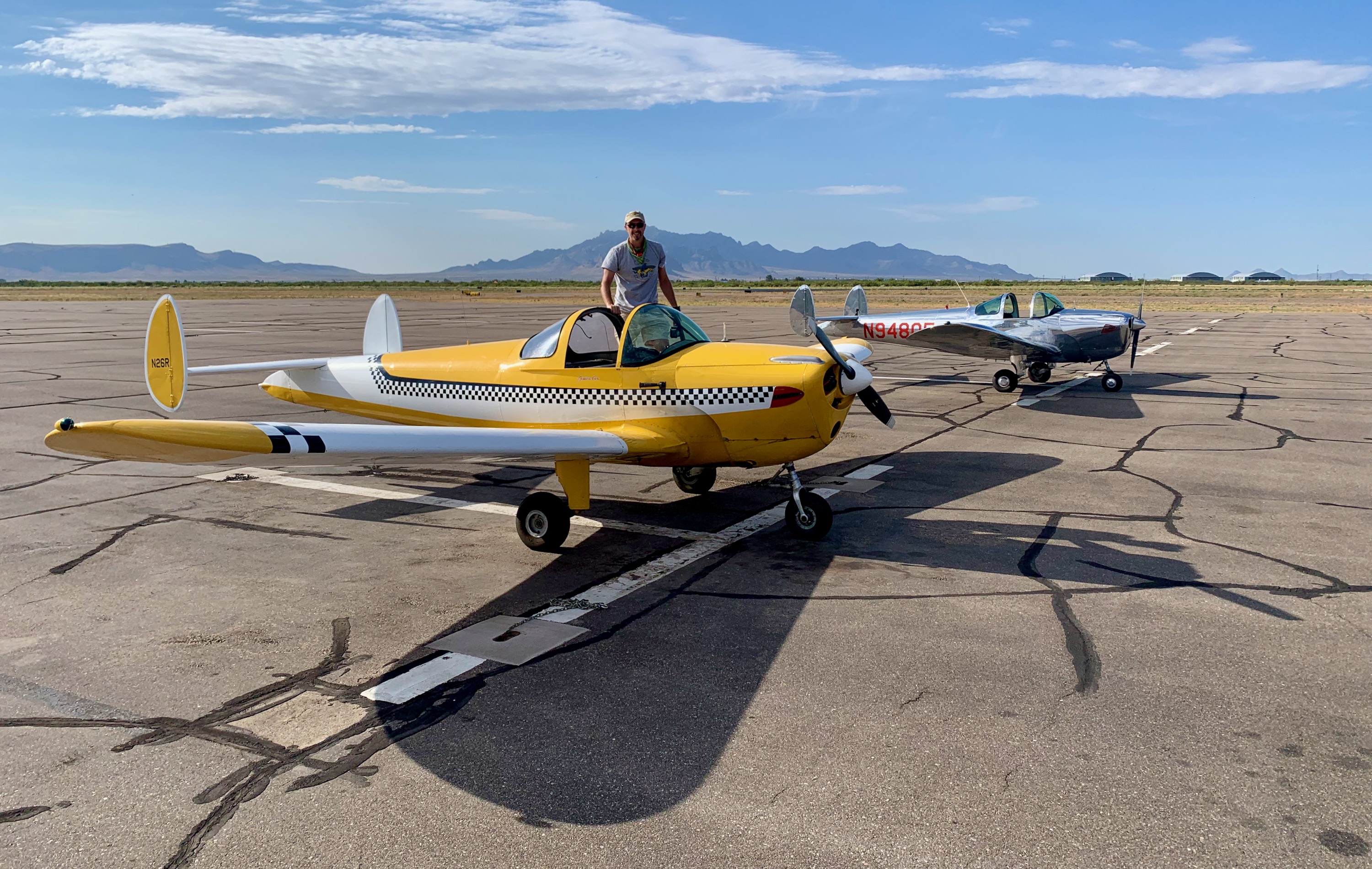
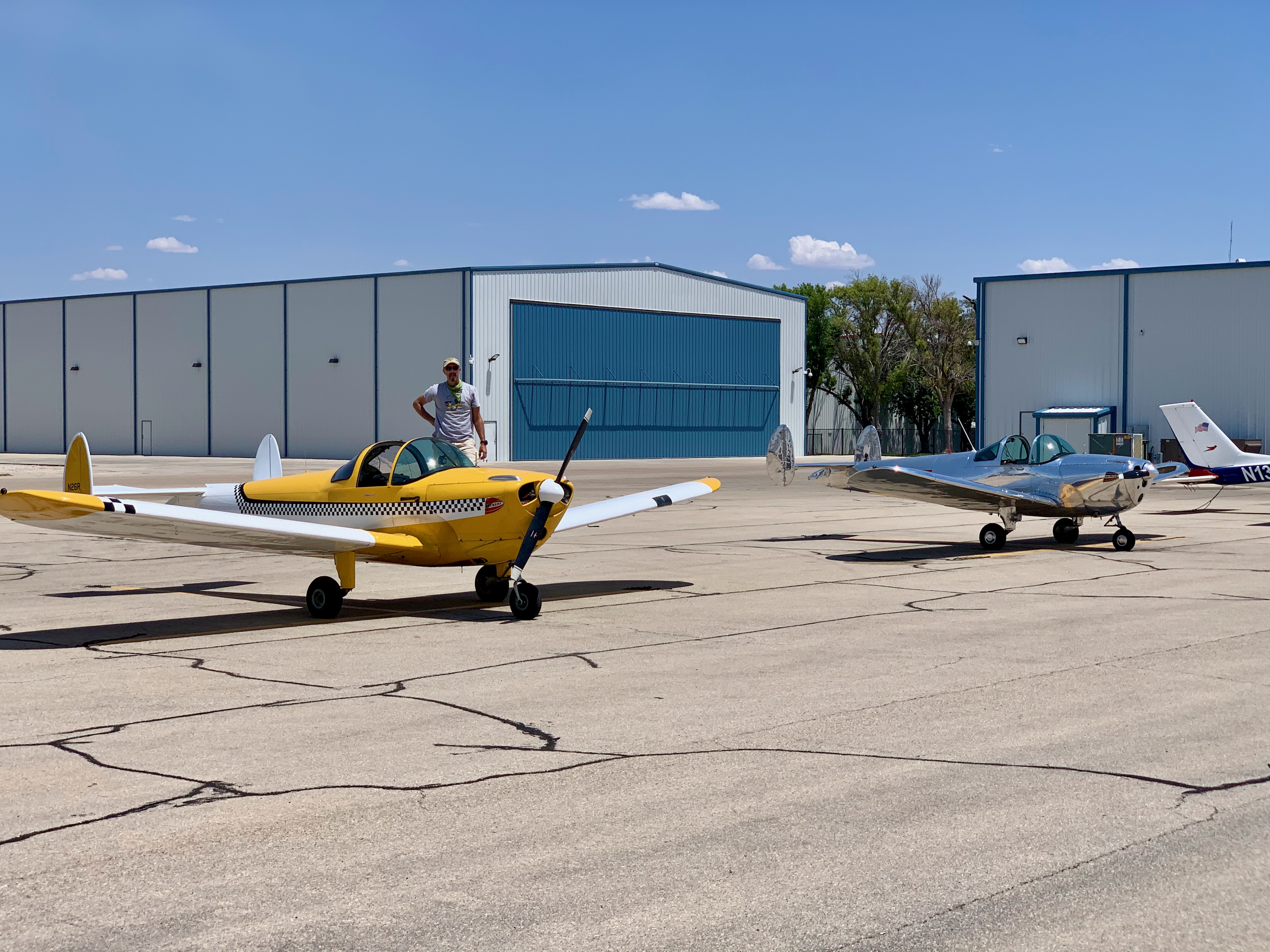
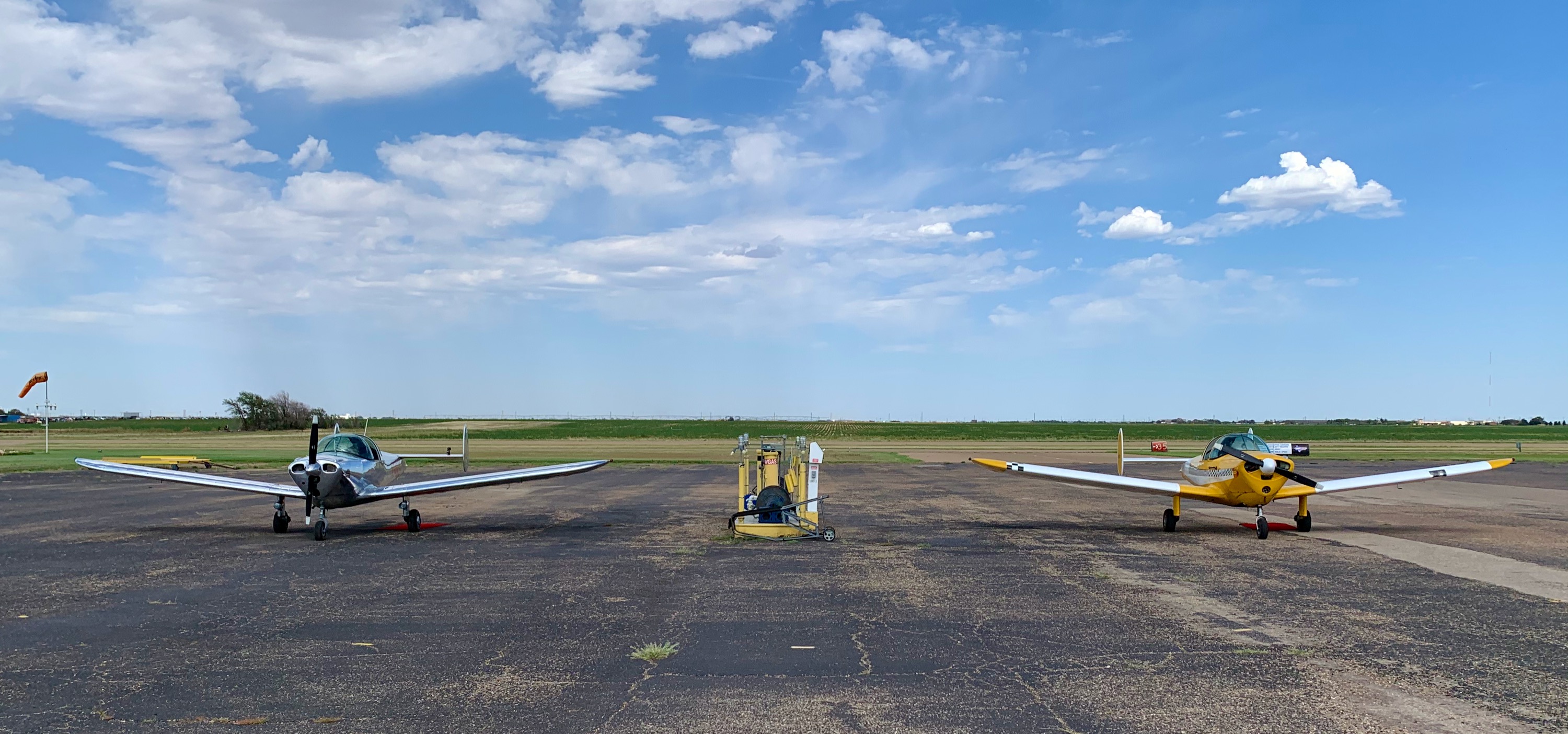
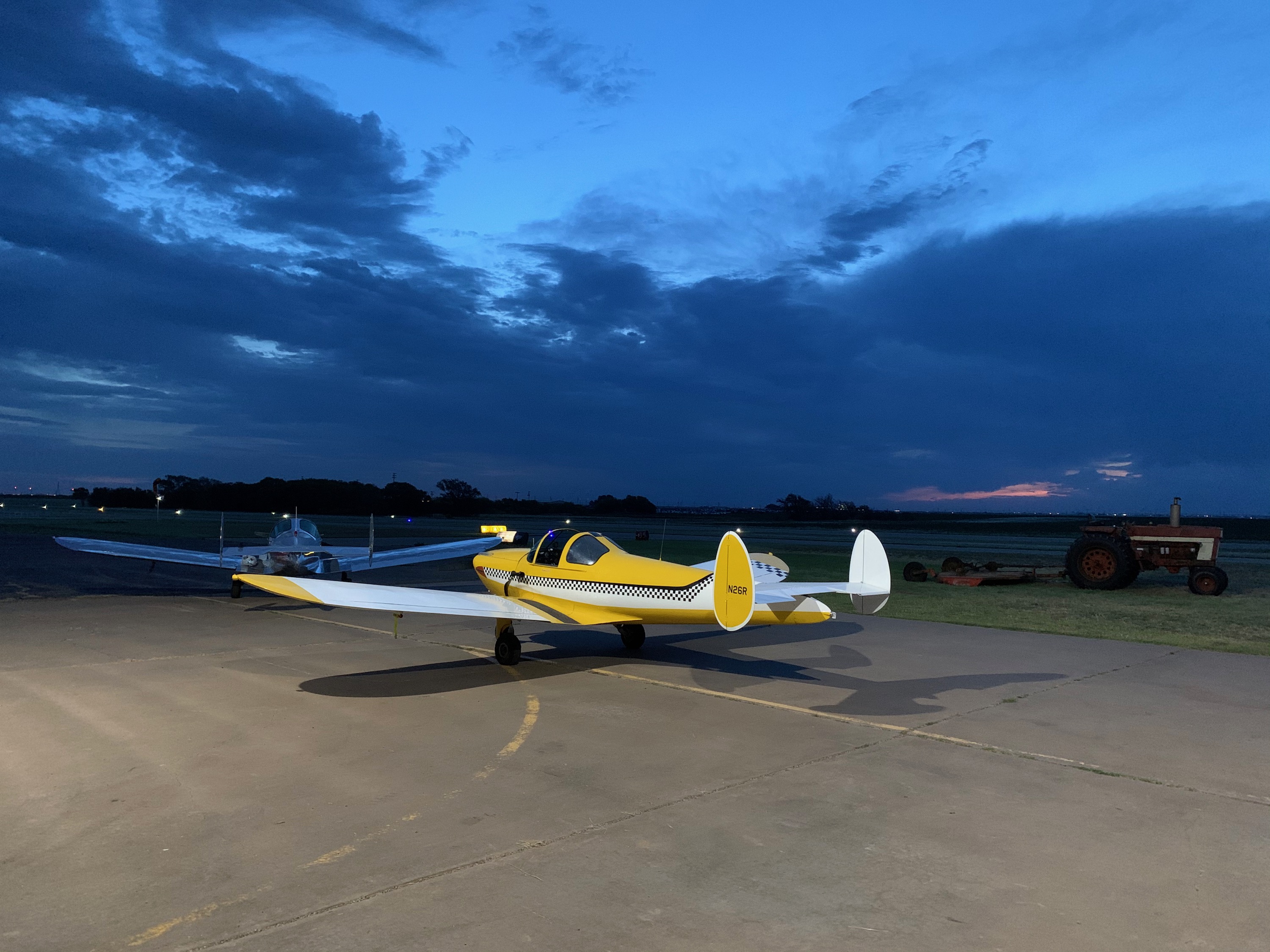
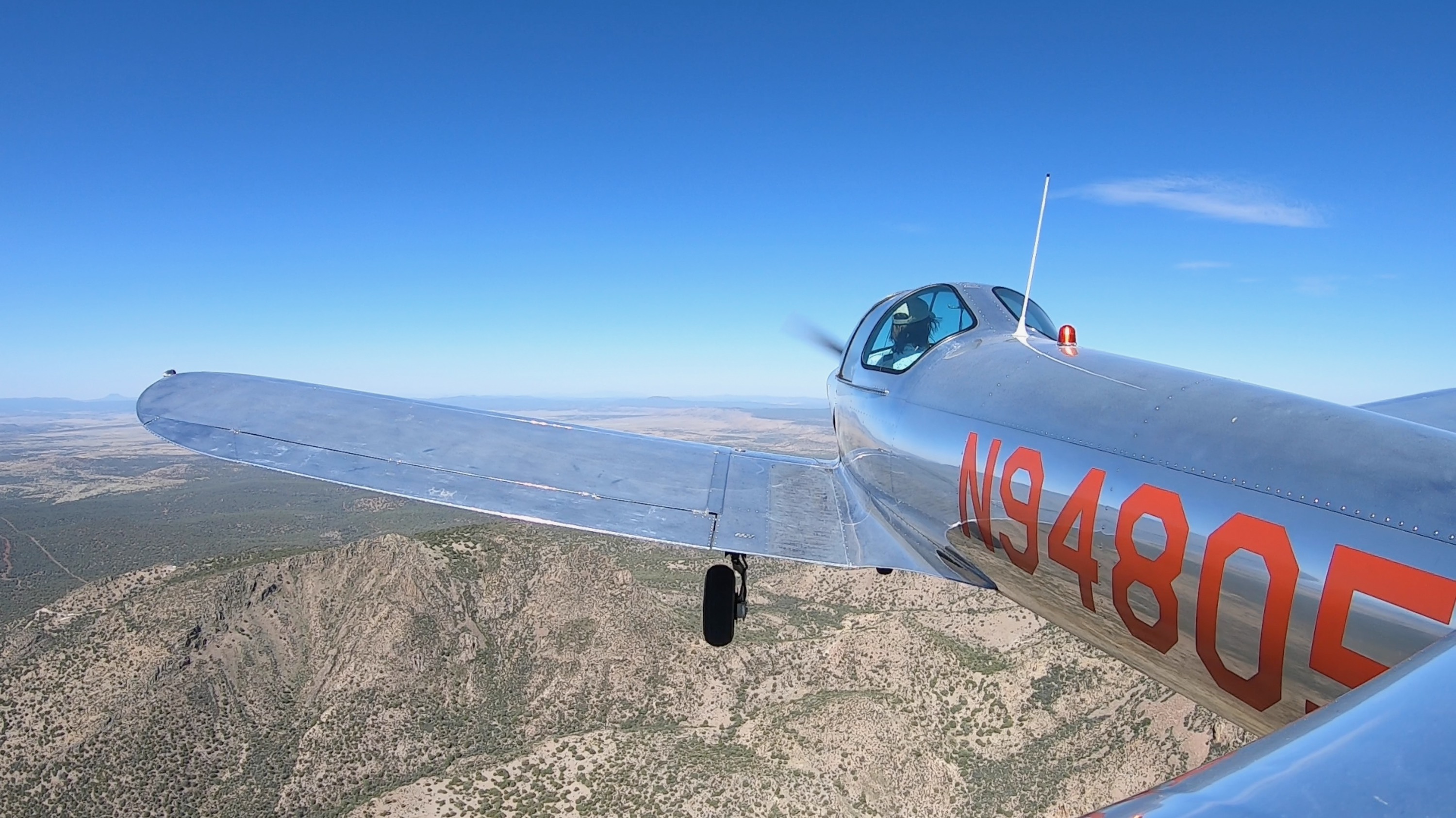
Lubbock, Texas
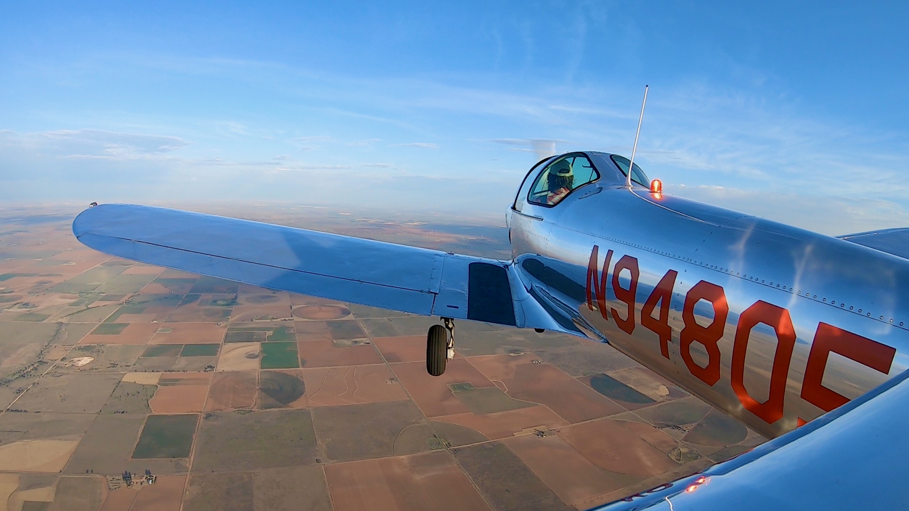
N94805 and N26R.
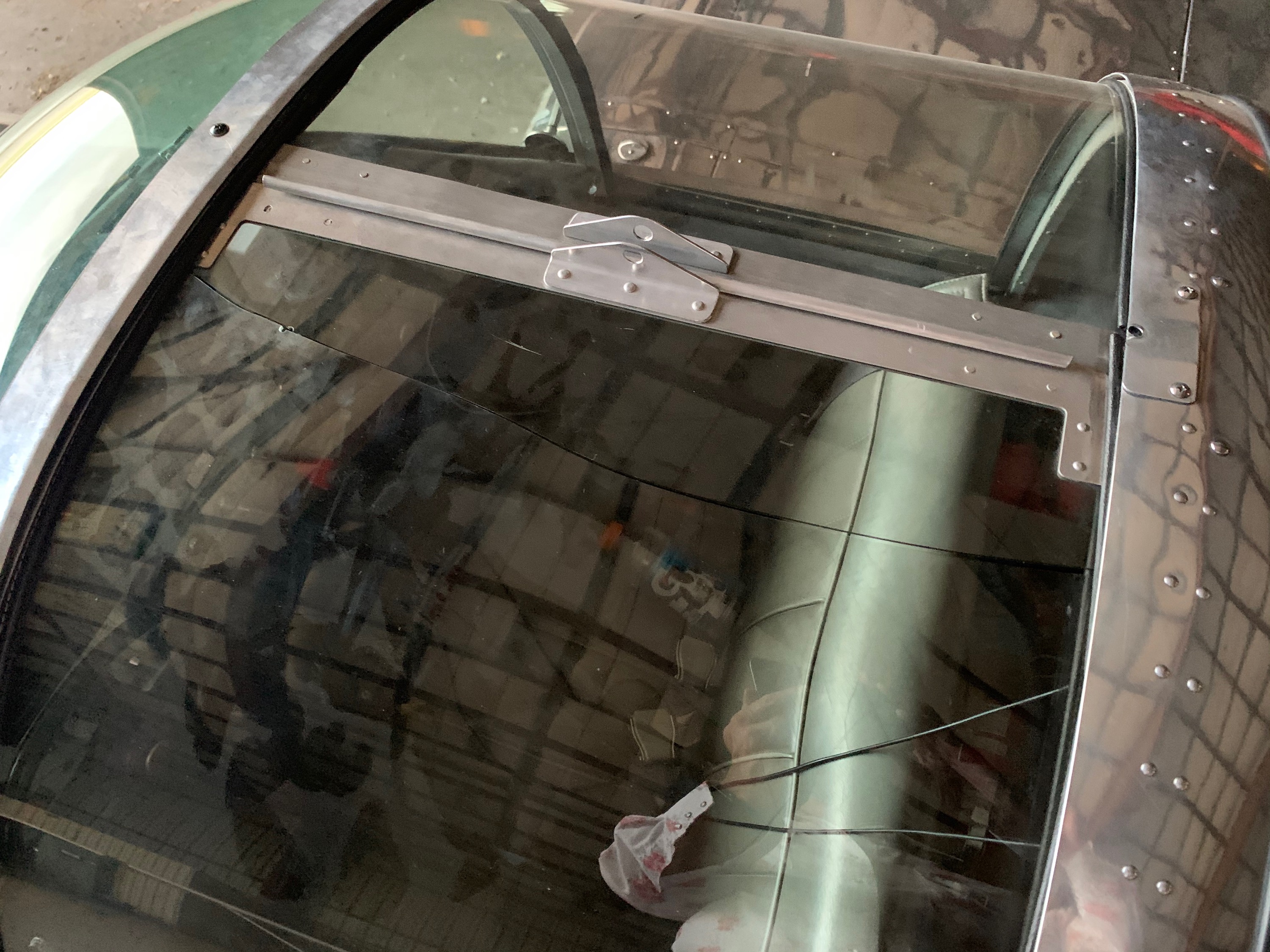
Lubbock, Texas
Pulling up my side window in the heat, just as we tied down... The plexiglass separated in two, near a stop drilled crack that had been there for a few years. I put it down to the heat, but maybe it was just time. Had to find Gorilla tape to secure it back together. The tape held well for the flight back to Califorrnia.
Lubbock, Texas
Ready for departure.
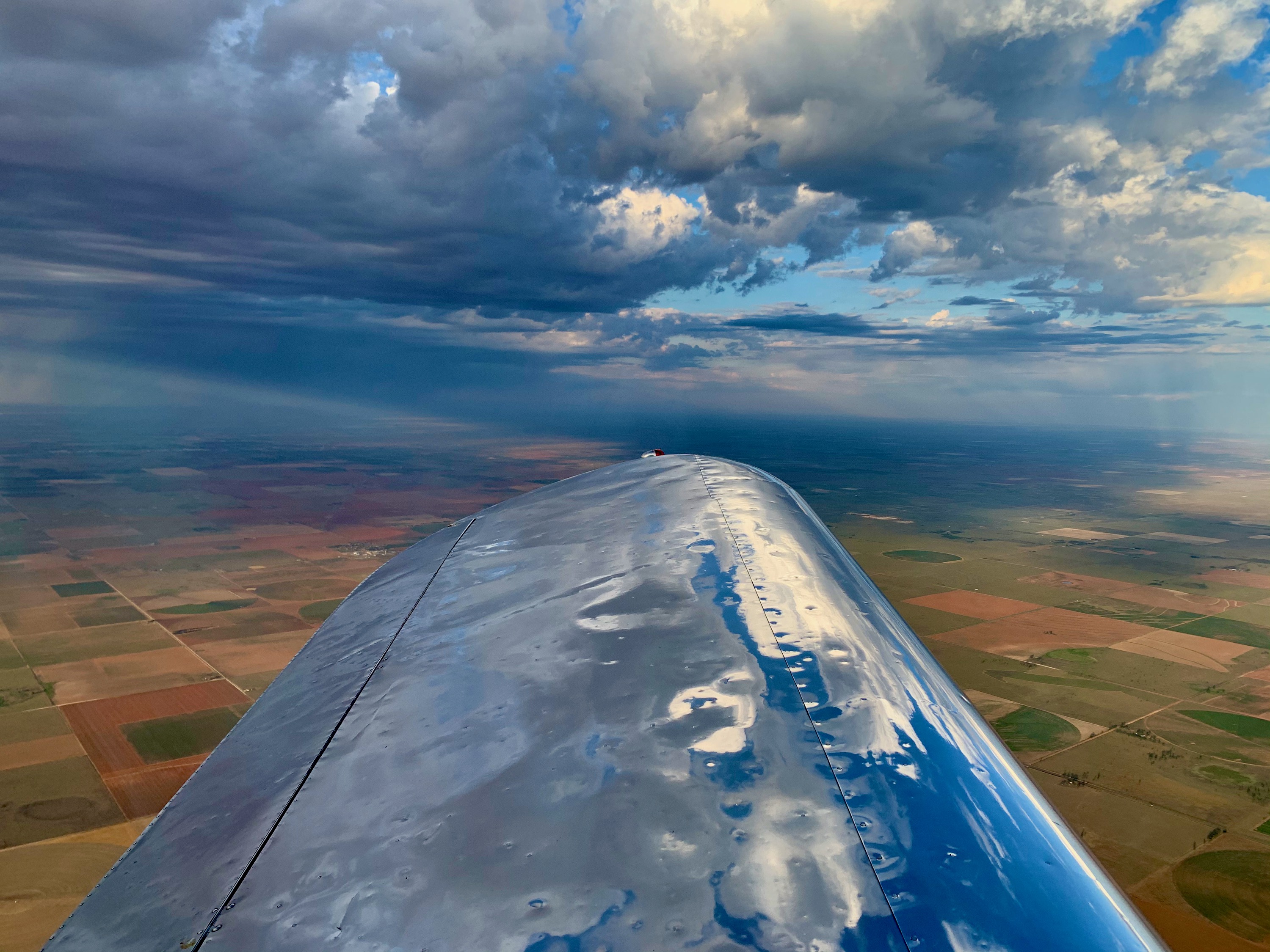
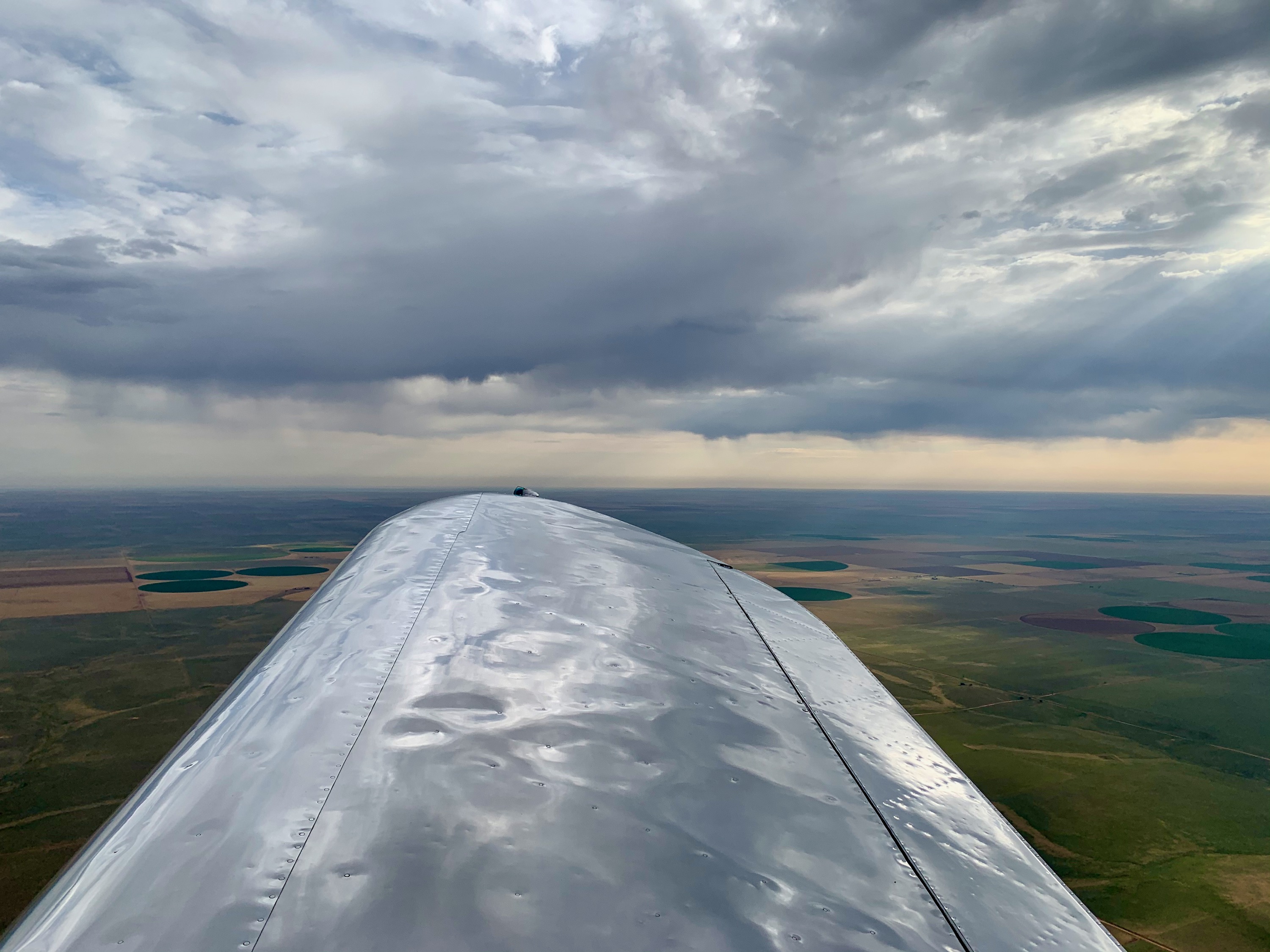
Texas Weather
Nice looking clouds to be wary of. These were off to the West as I departed North out of Lubbock. Something to keep an eye on...
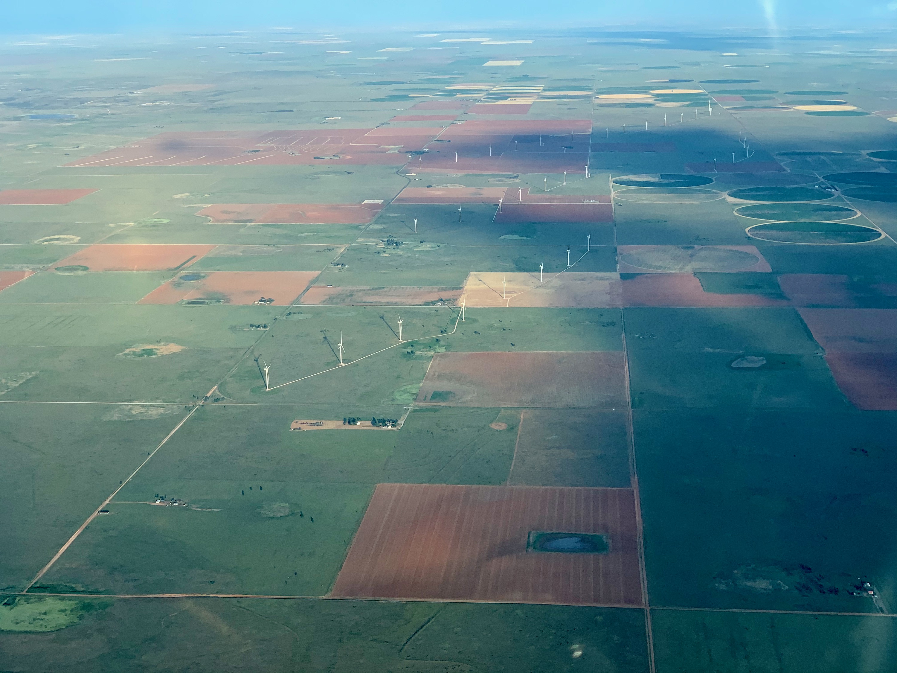
Texas Windfarm
Small wind farm near Sudan, Texas.
Clovis, New Mexico
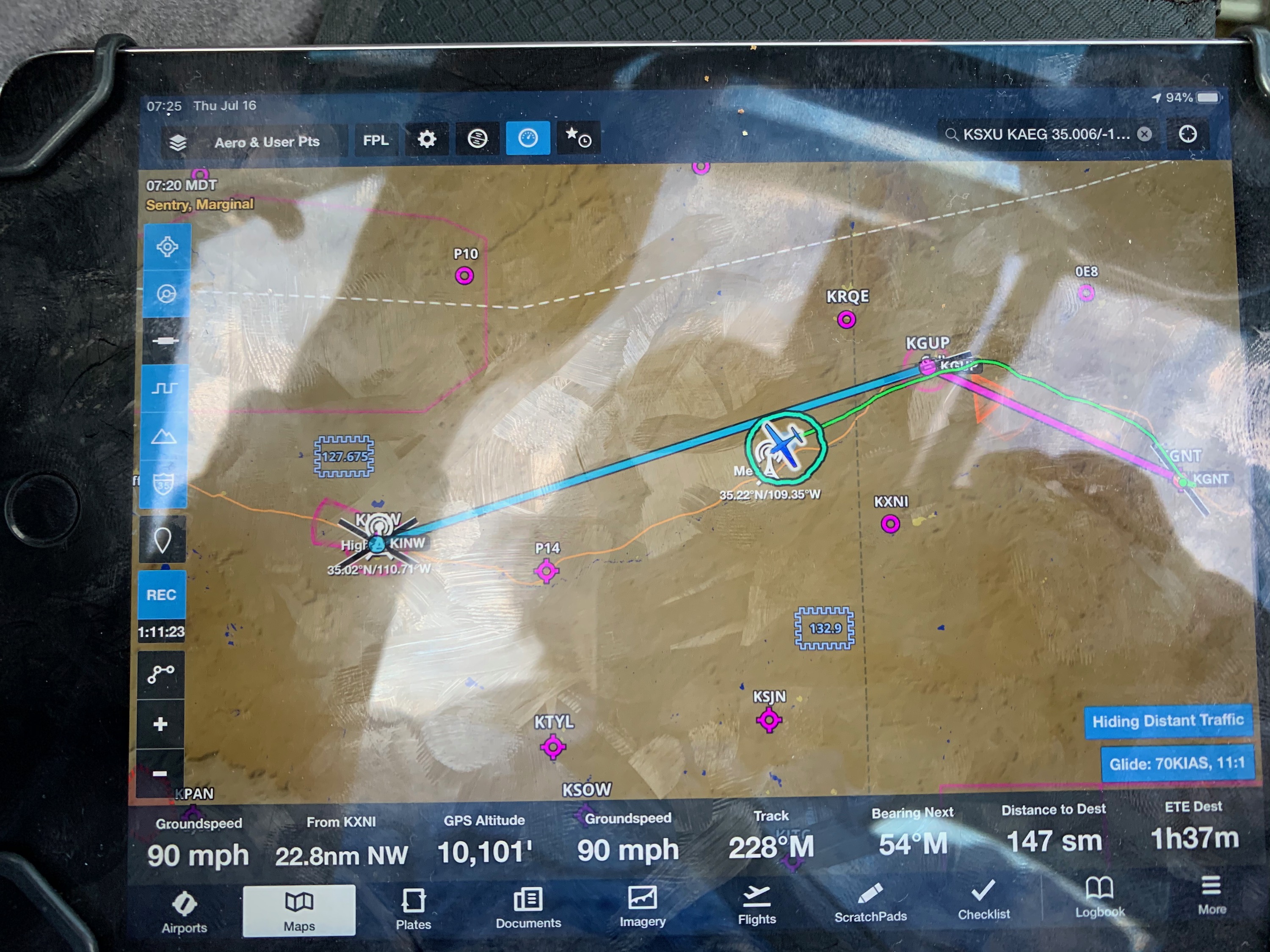
Progress was very slow at this point. 70mph over the ground was about average, and the controller kept asking me about conditions, which made me nervous. Nothing bad, just head wiinds...
Santa Rosa, New Mexico
Stopped in here for fuel, very nice airport with lots of Ercoupe memorabilia around. I later found out that the famous 'Race 53' Ercoupe is based here. Just the kind of airport I like, small and friendly, good for a passing Coupe!
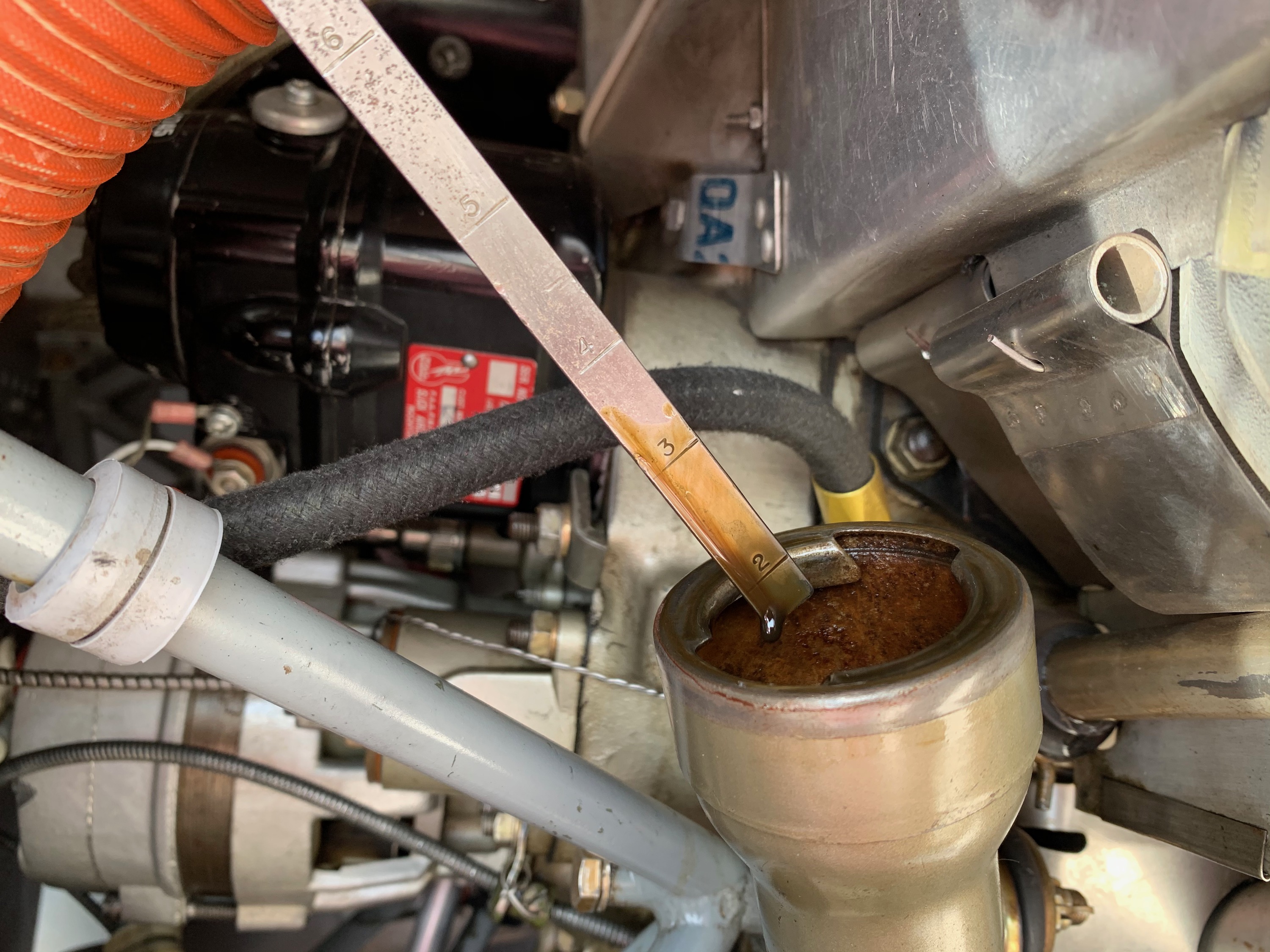
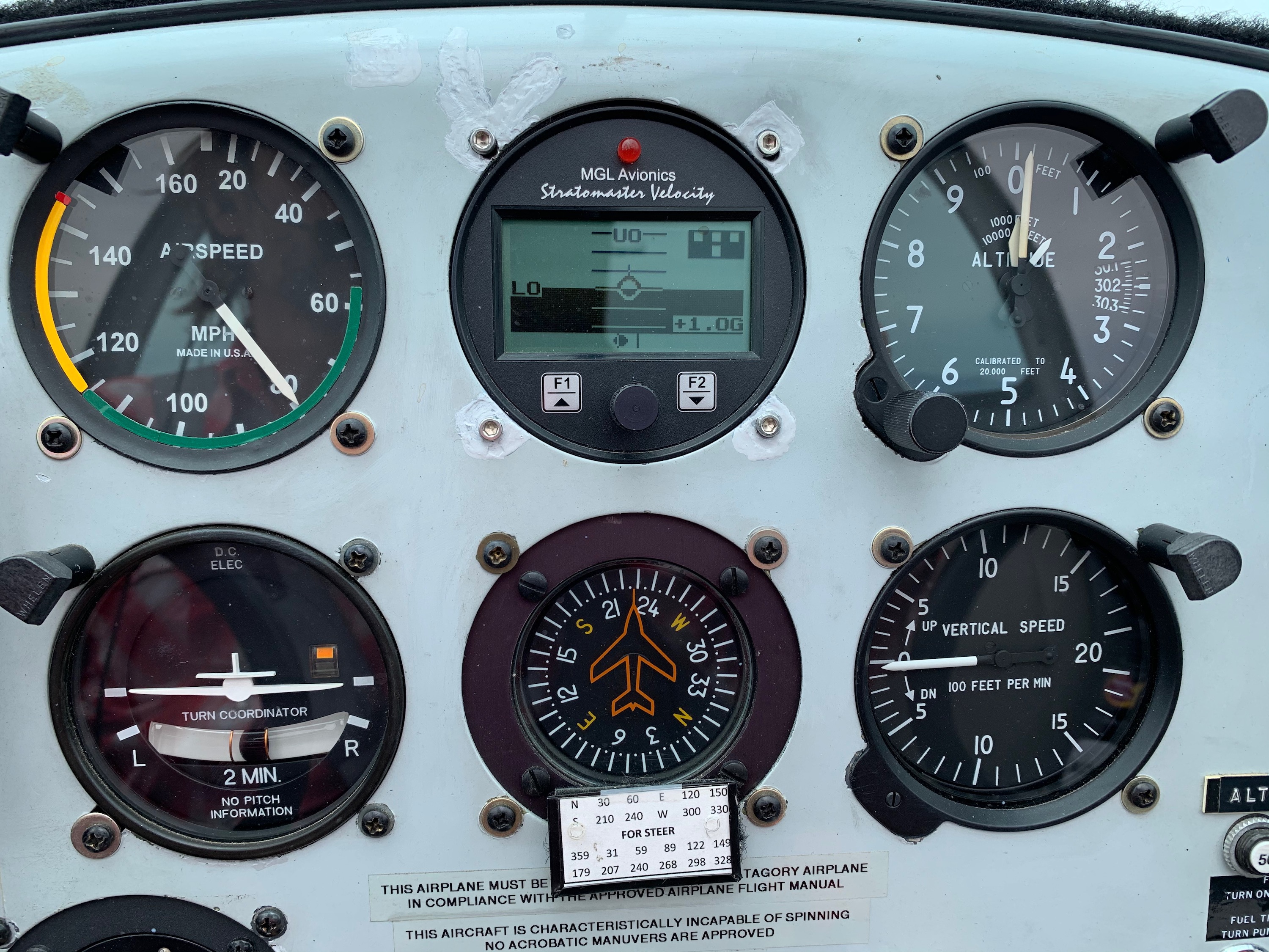
Engine Oil
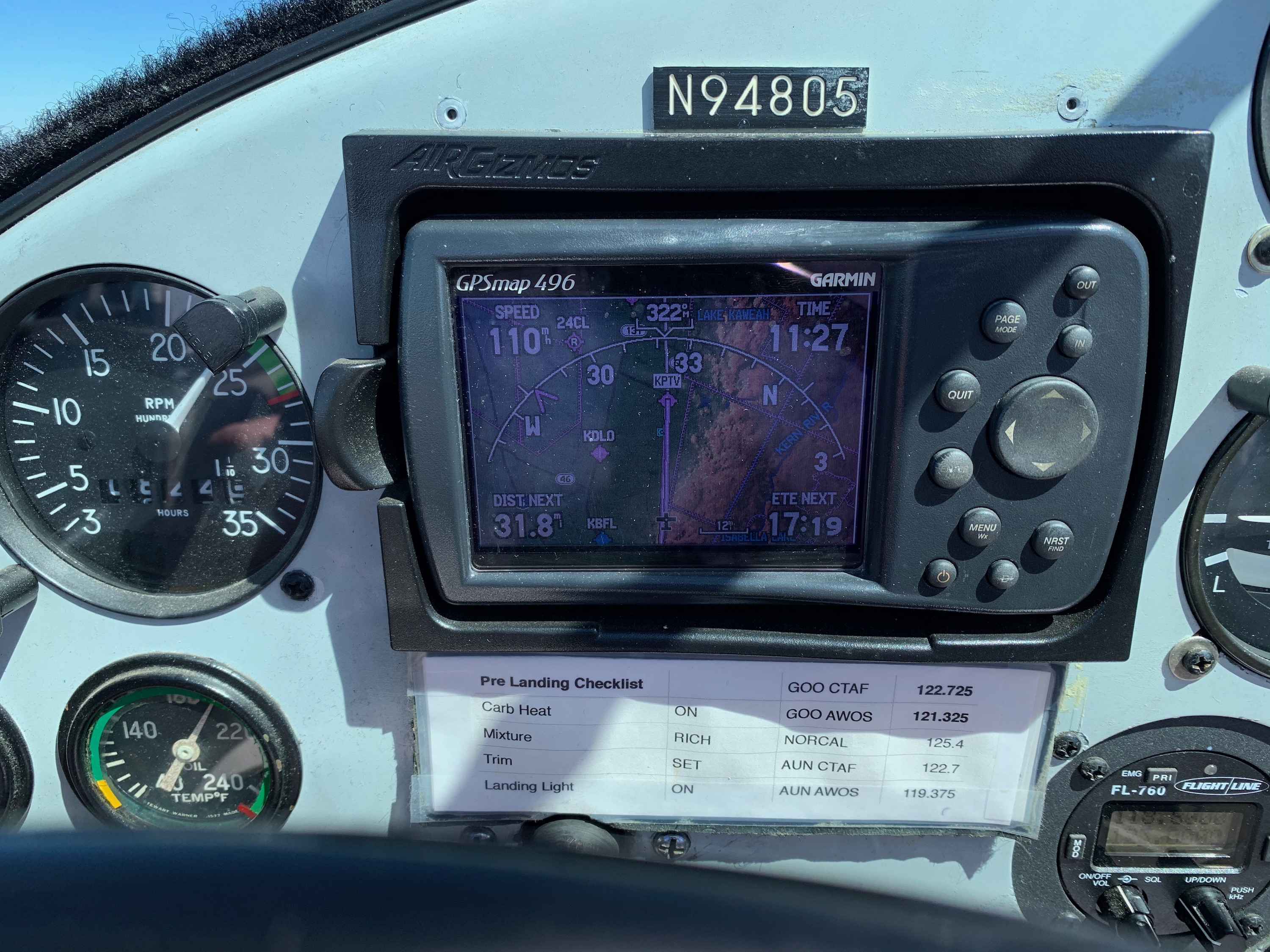
Checking the oil. I'm currrently flying with a max of 3 qts showing. I used 2 qt's on the whole 2,500 mile, 33 hour trip.
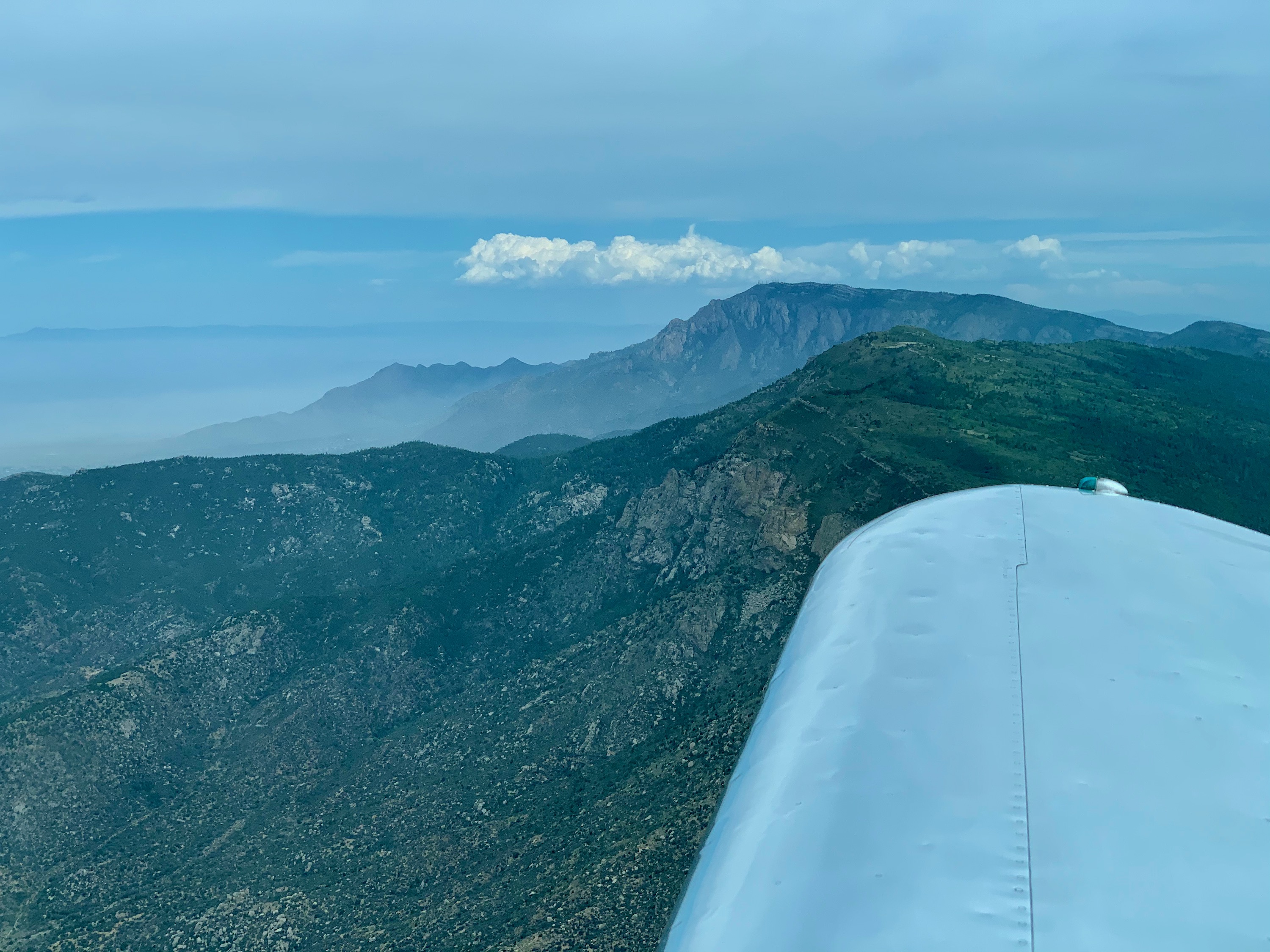
Albuquerque, New Mexico
The Sandia Mountains to the North East of Albuquerque.
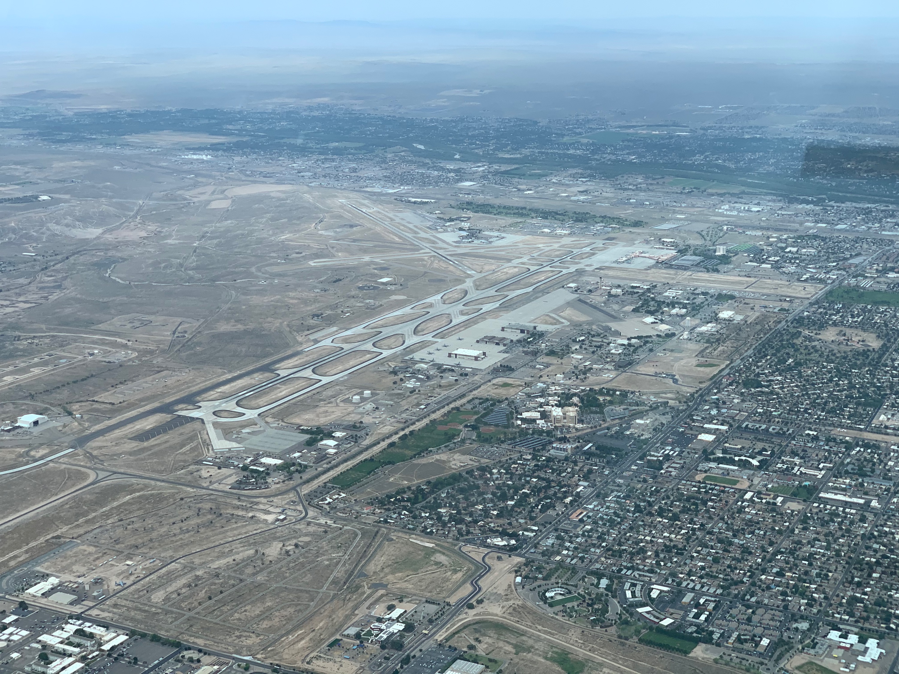
Albuquerque, New Mexico
Passing through the Class Charlie of Albuquerque Intl Airport, talking to approach control.
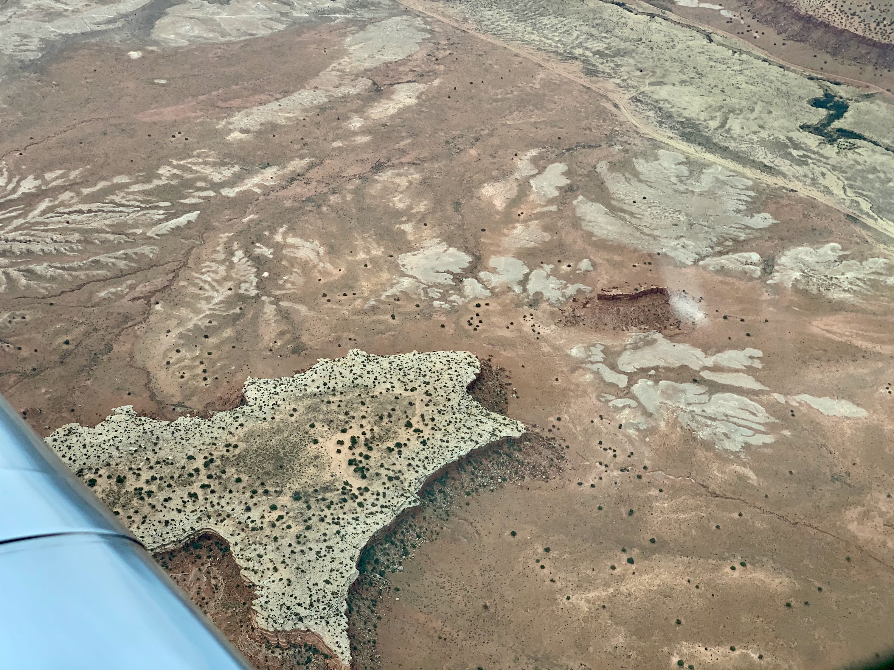
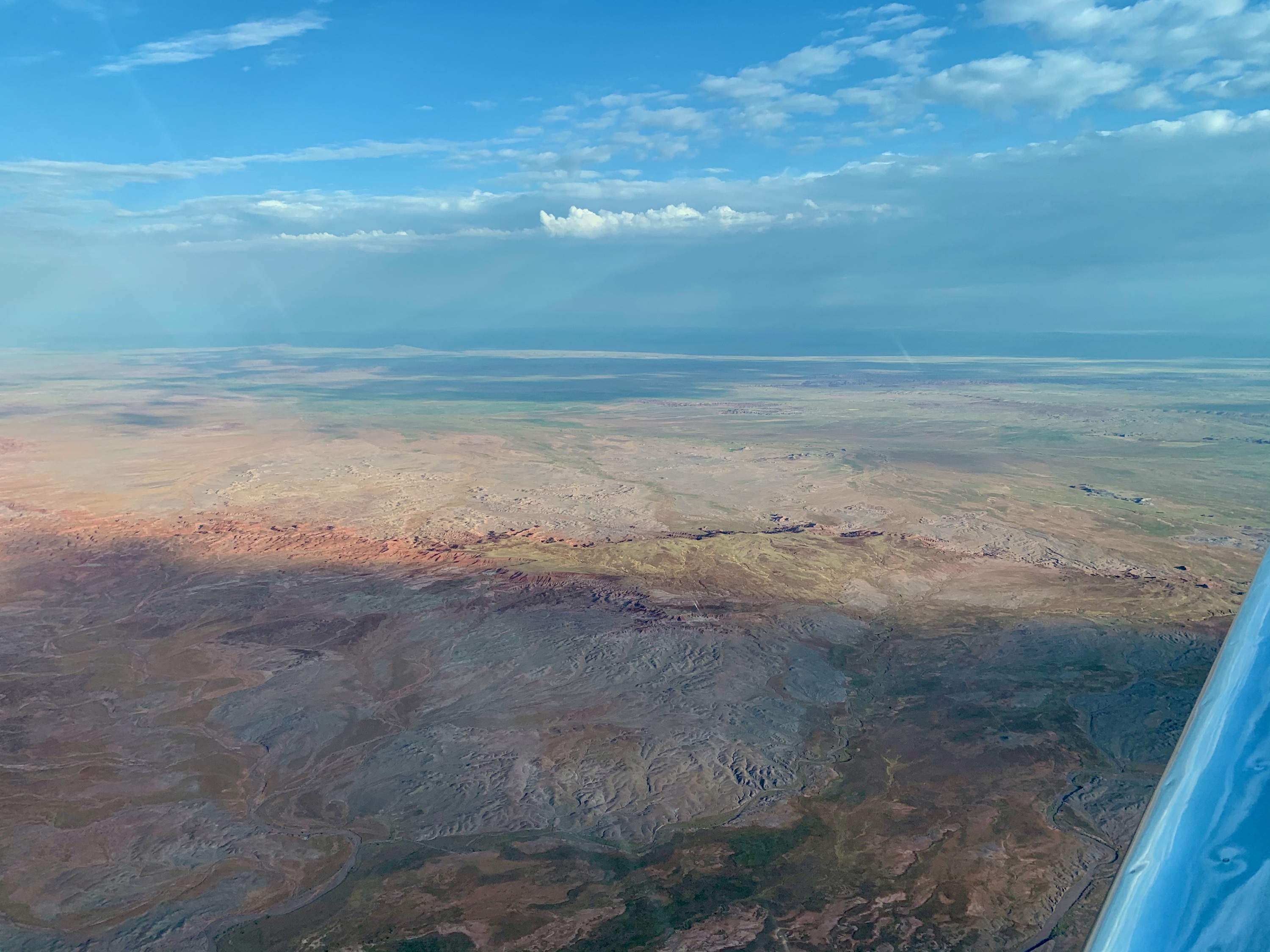
Laguna, New Mexico
About 40 miles west of Albuquerque, near the town of Laguna, NM.
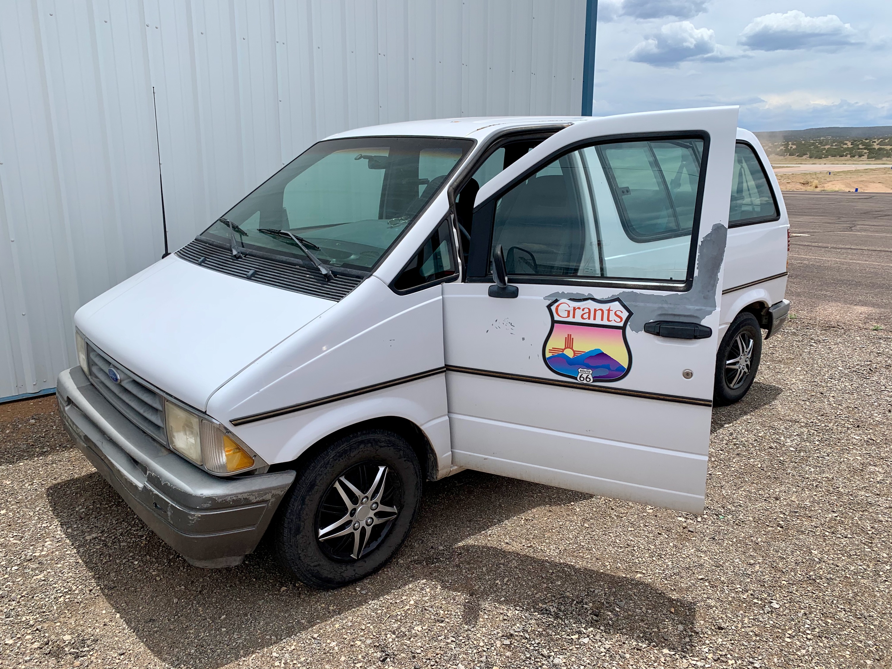
Airport Courtesy Car
Ford Aerostar.
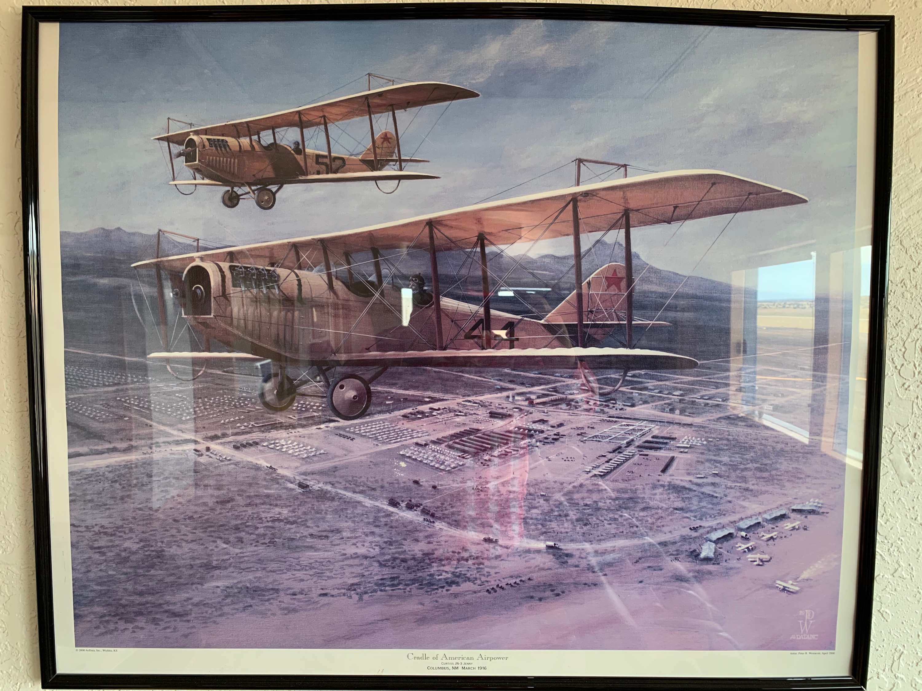
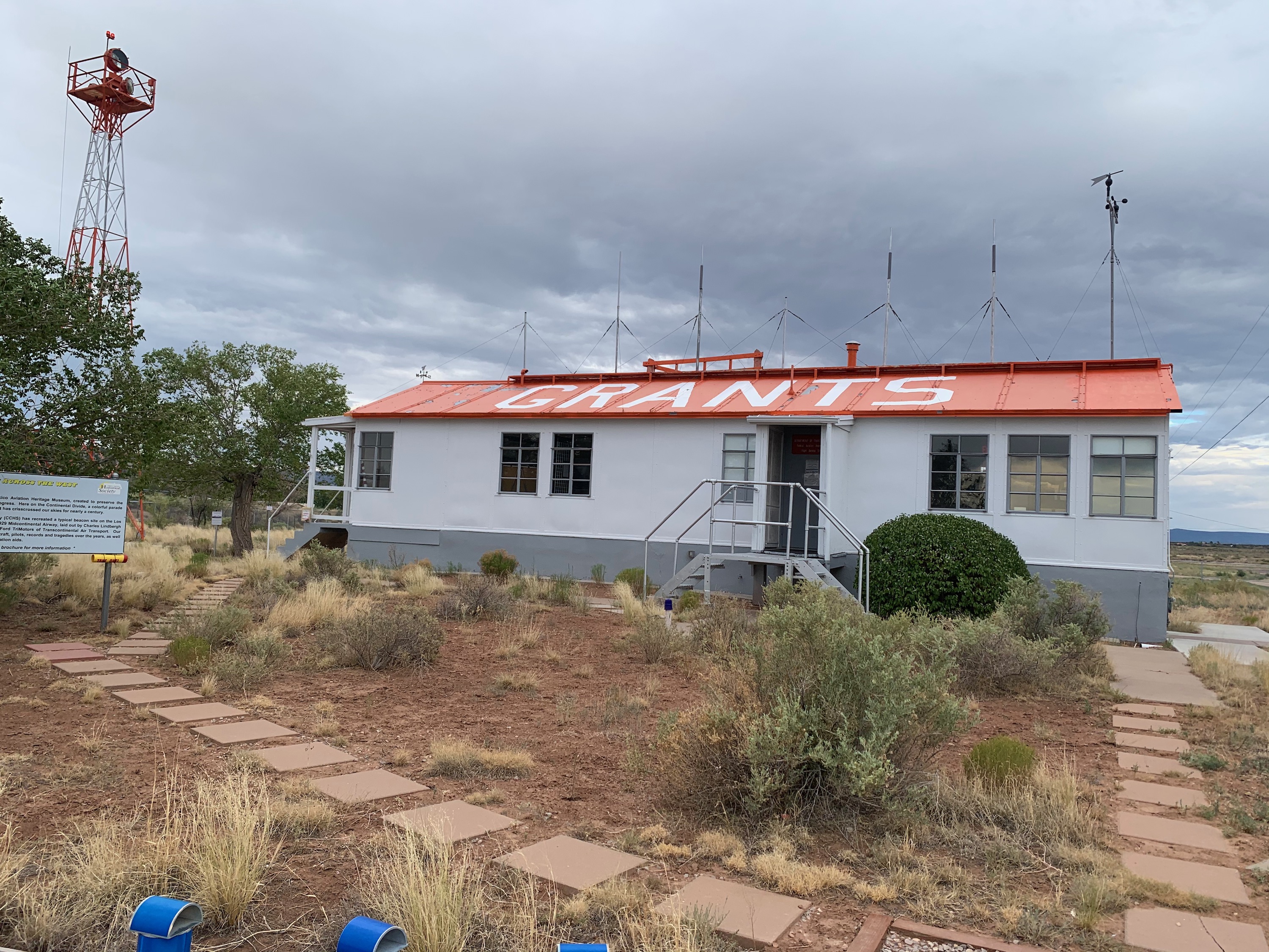
Grants Milan Airport, New Mexico
The airport has a great museum for air mail history.
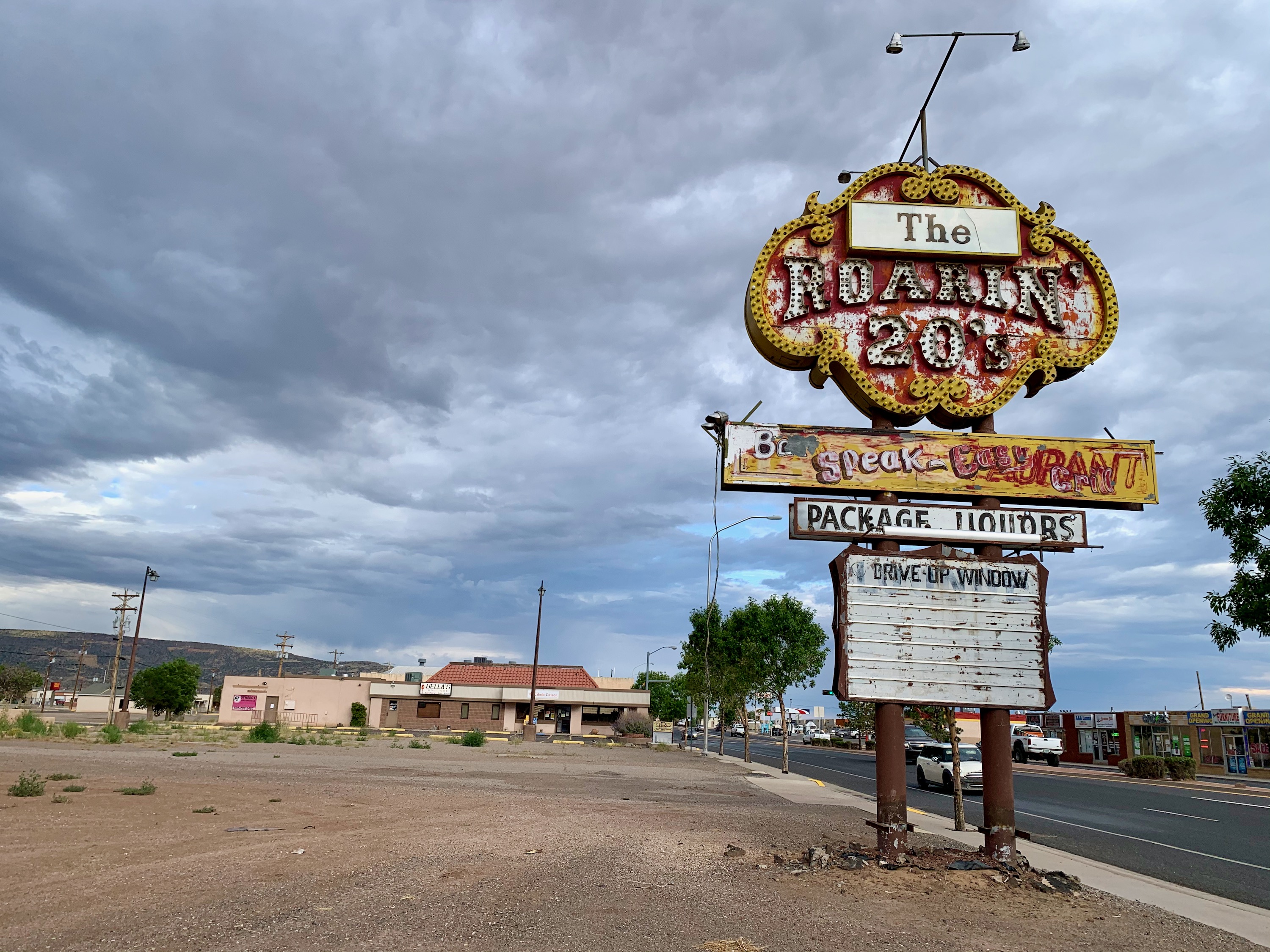
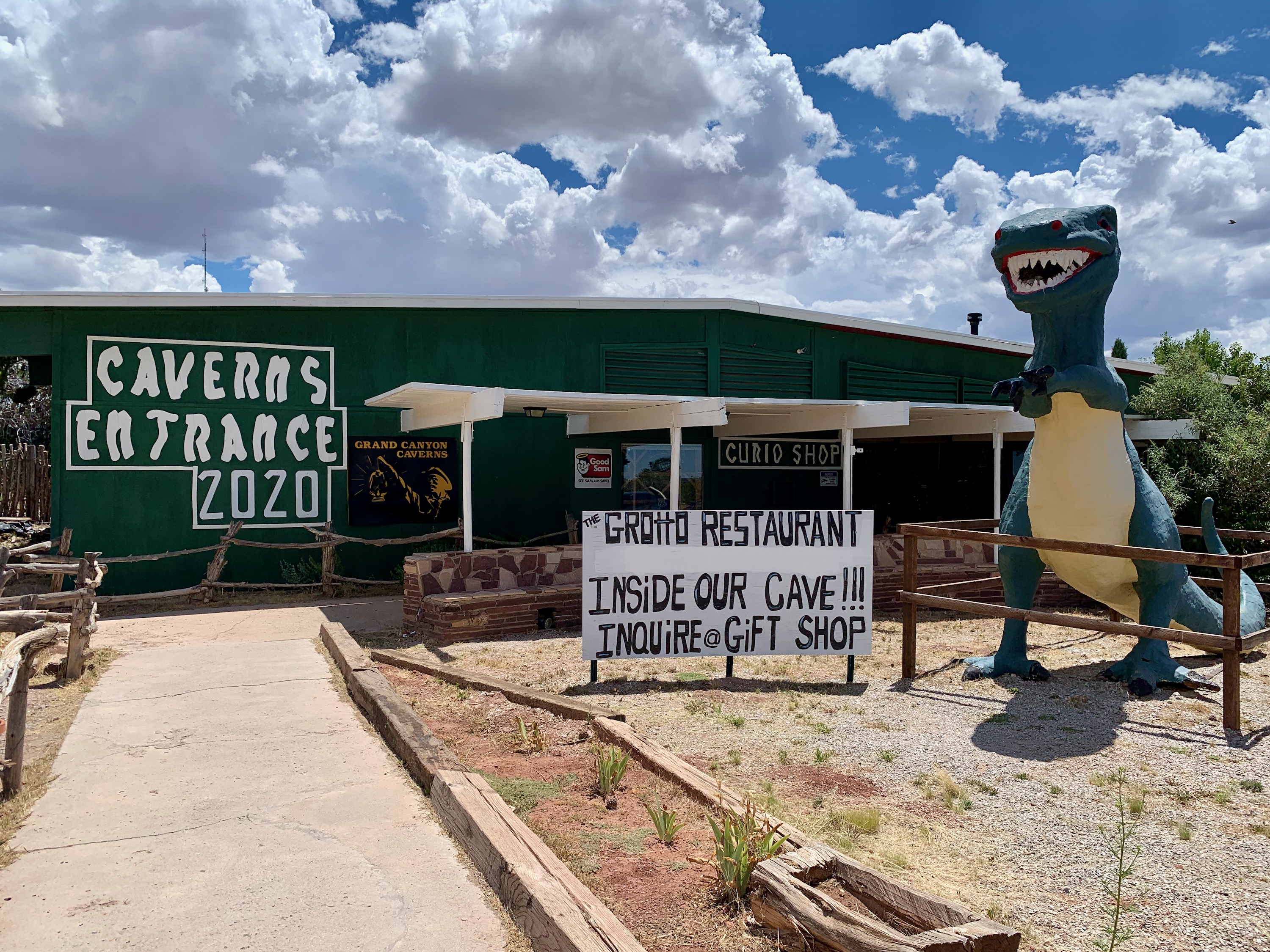
The Roaring 20's
Great old sign on the side of the road in Grants, NM.
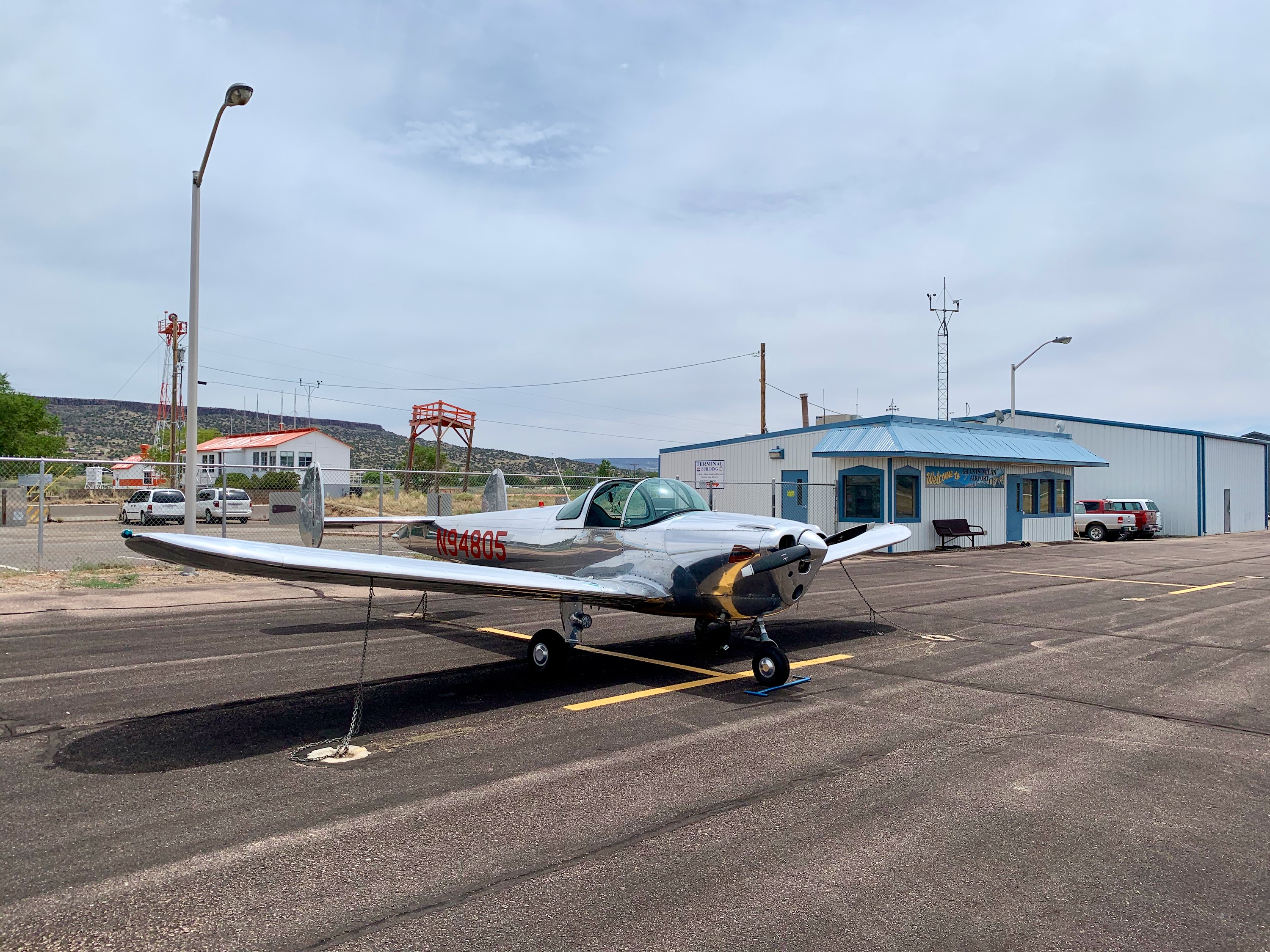
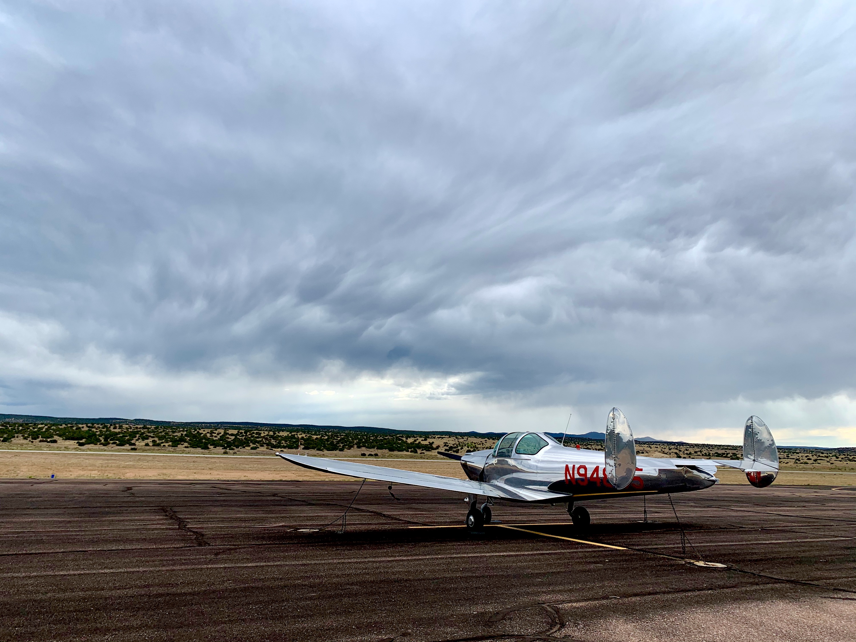
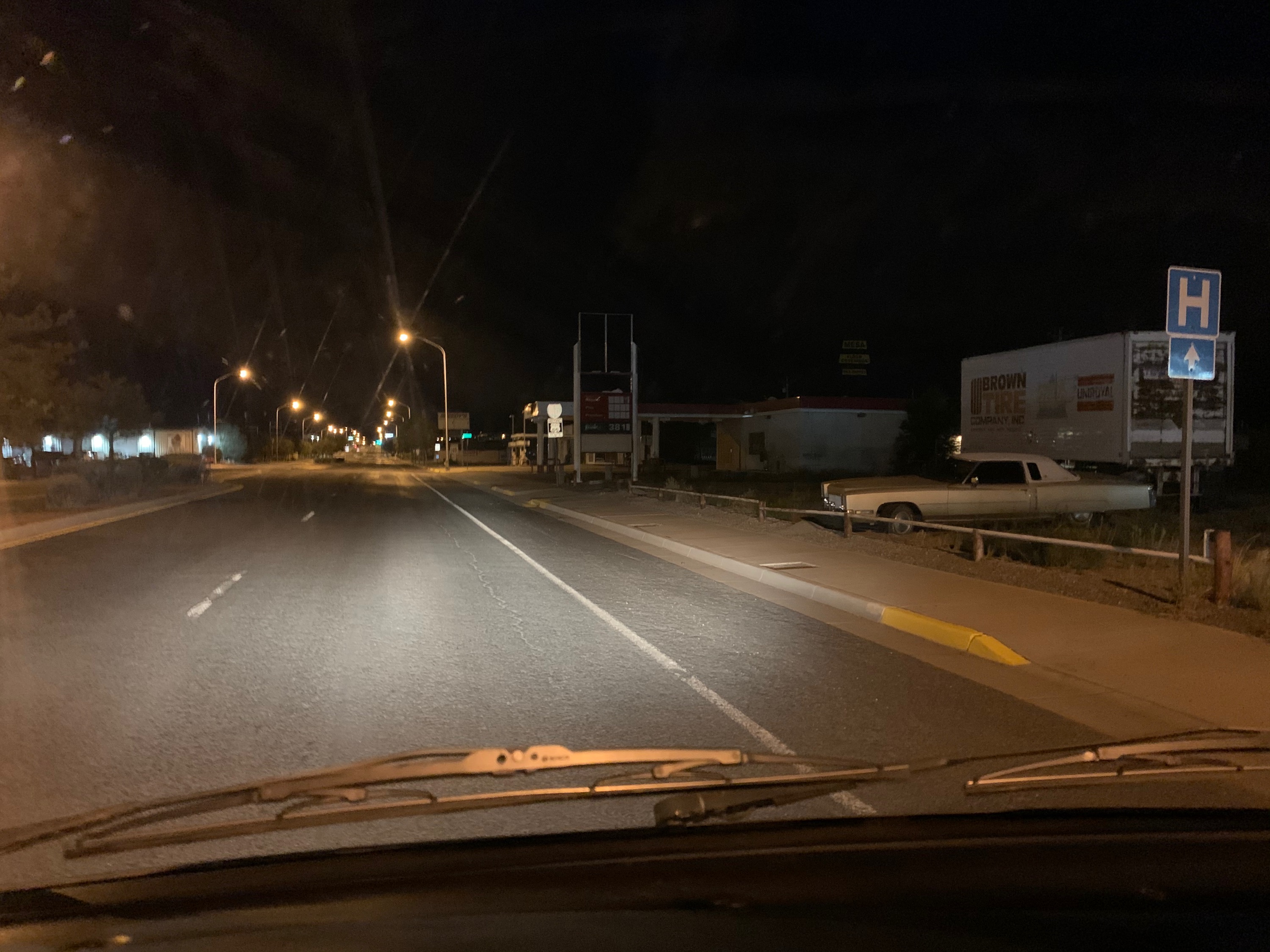
Grants, NM
06:30, about to head to the fuel pumps, prior to leaving for Gallup, NM. Temperature was about 60 F, Field elevation 6,500', density altitude about 8,000'.
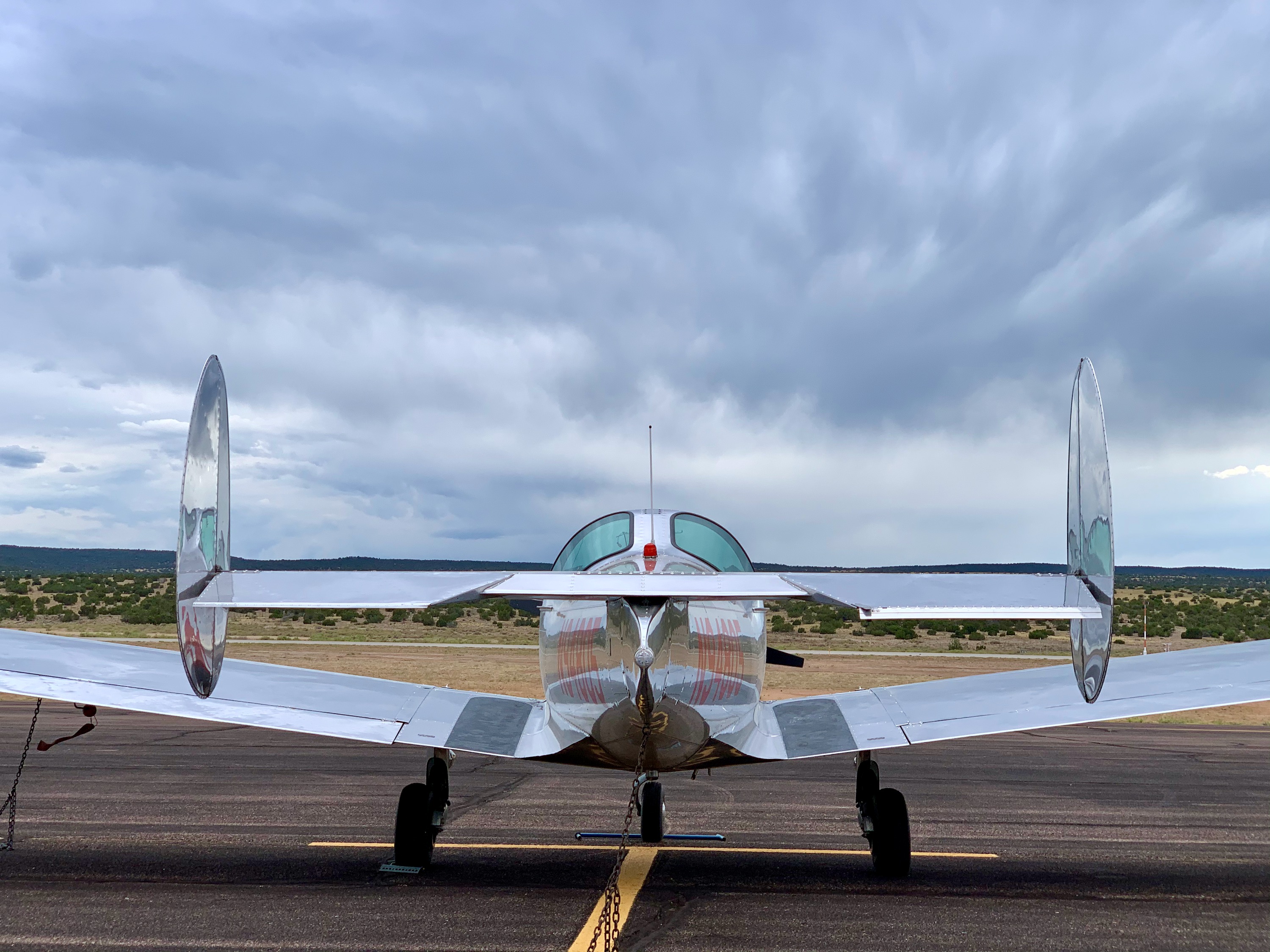
Grants, NM
Standing on top of the fuel tank!
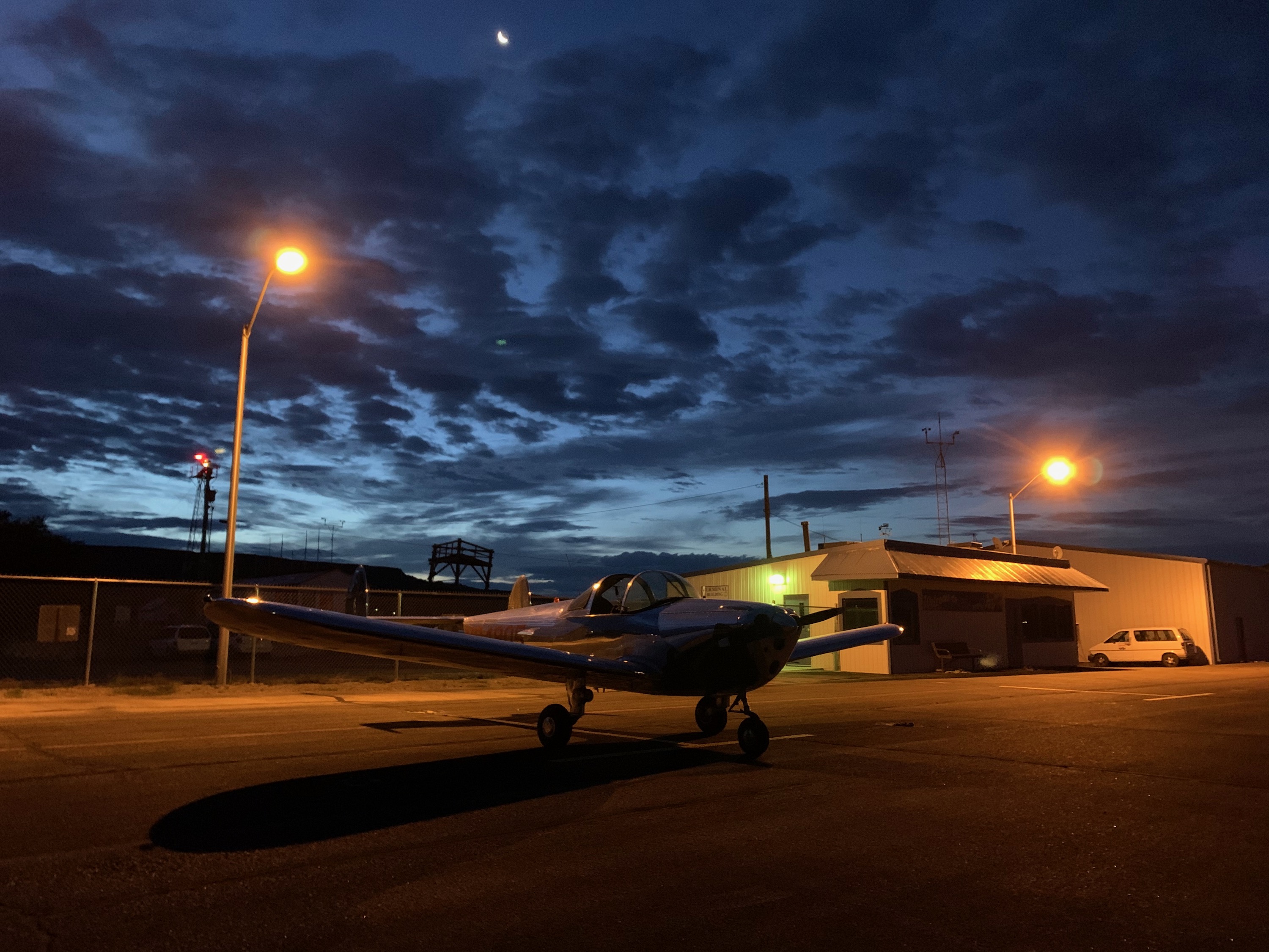
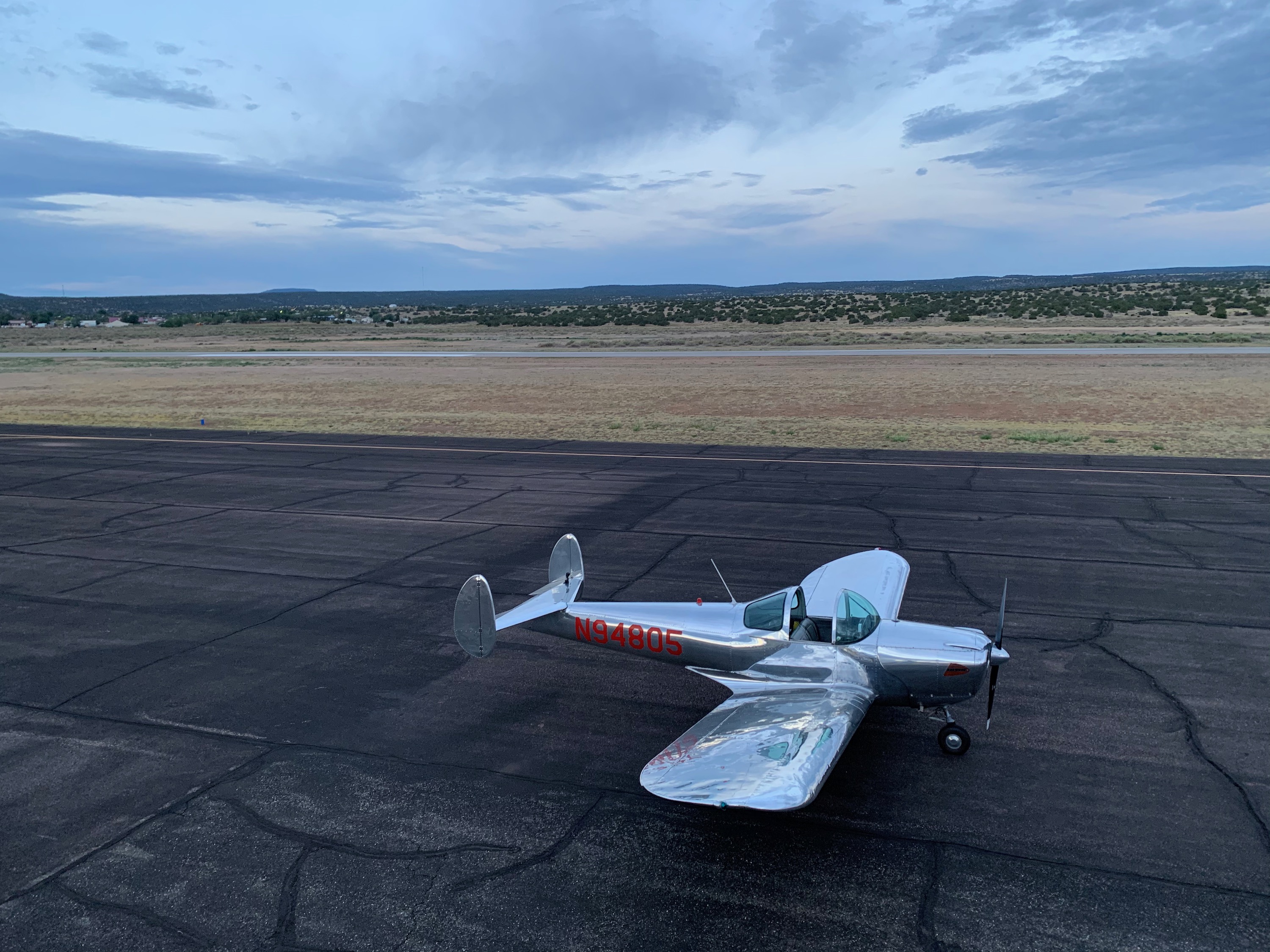
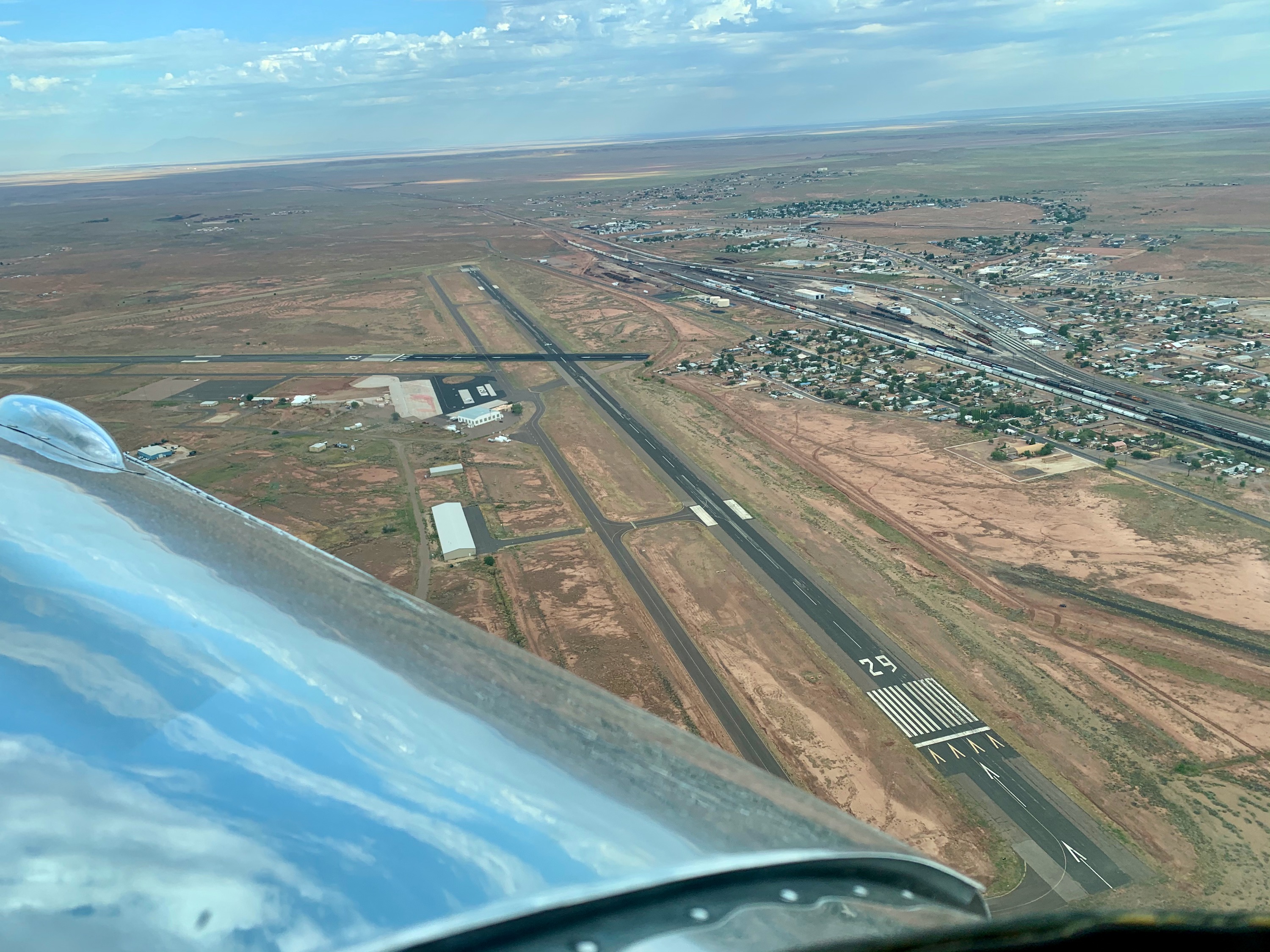
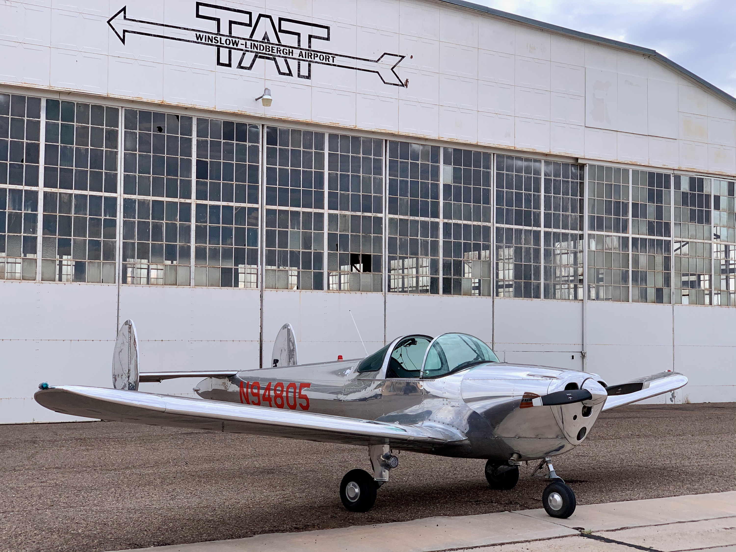
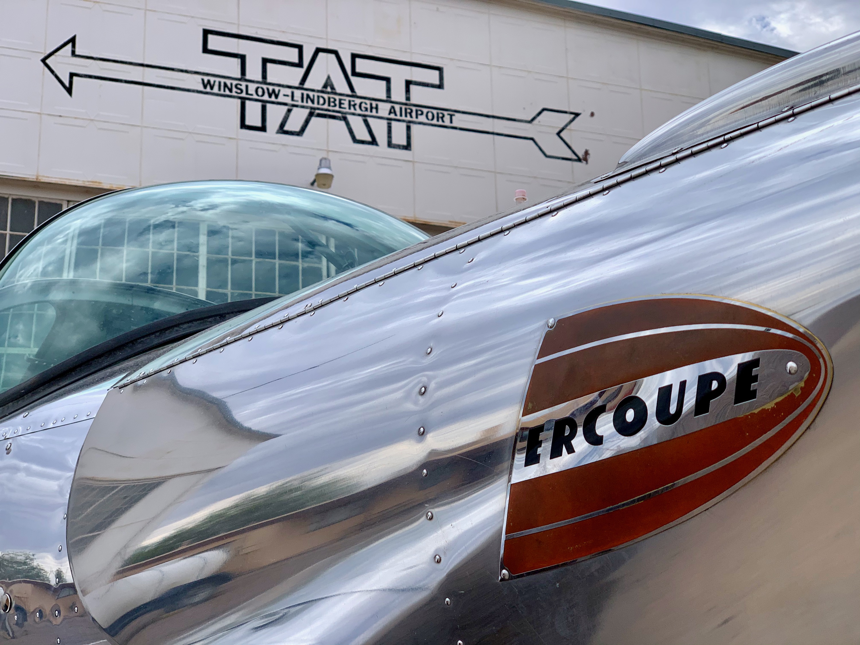
Winslow, Arizona
Fuel stop in Winslow.
Winslow, Arizona
The airport was built in 1929 by Transcontinental Air Transport (TAT). Aviator Charles Lindbergh, who served as head of TAT's Technical Committee, chose Winslow as one of twelve critical refueling stops on the nation's first transcontinental passenger line. For many years it was the only all weather airport between Albuquerque, New Mexico,and Los Angeles, CA. The Ercoupe looks good in front of that history!
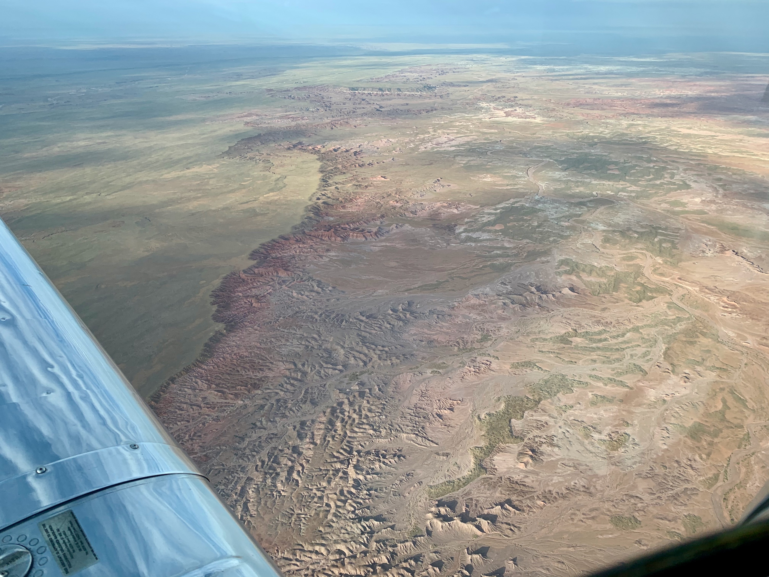
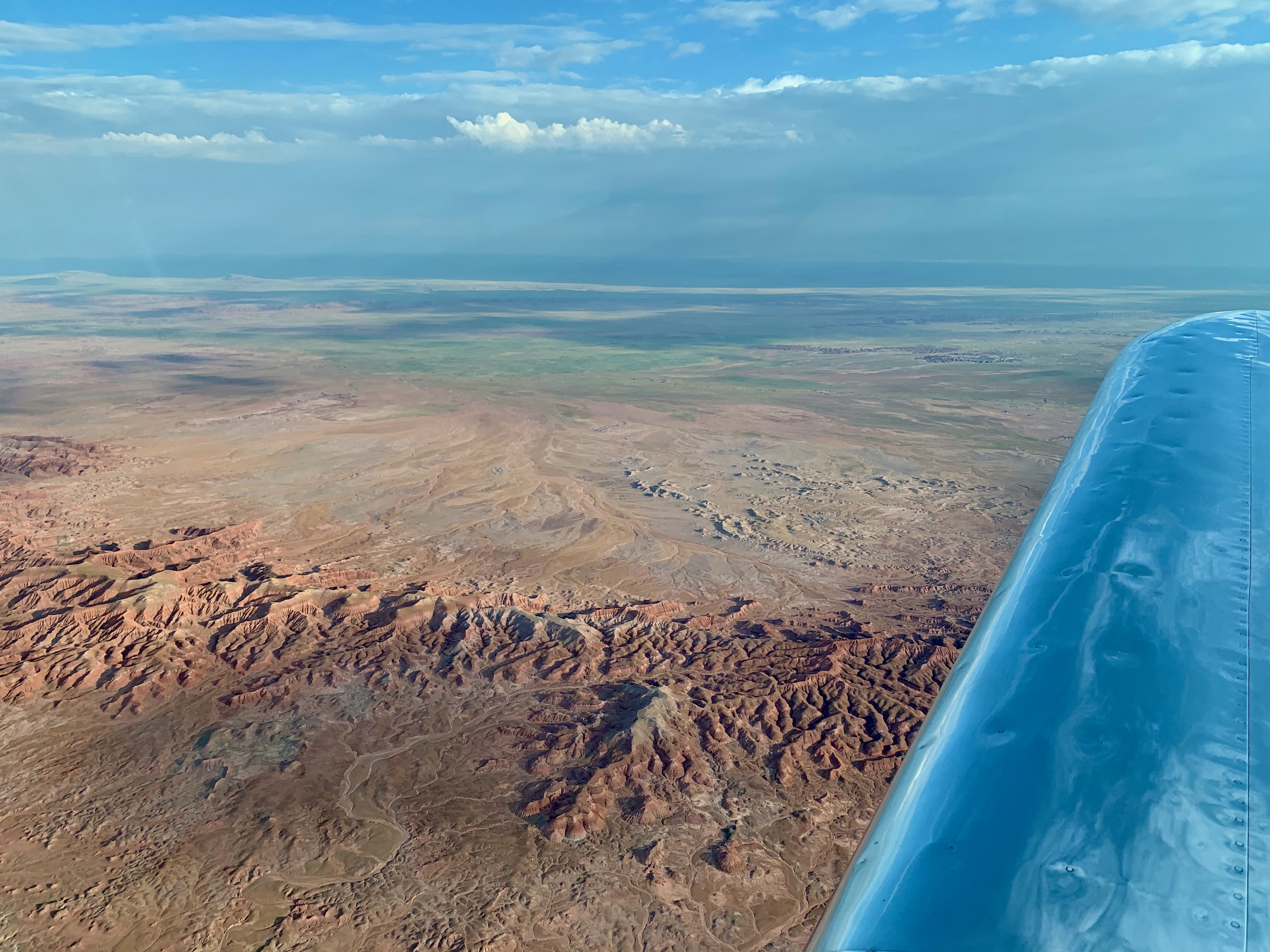
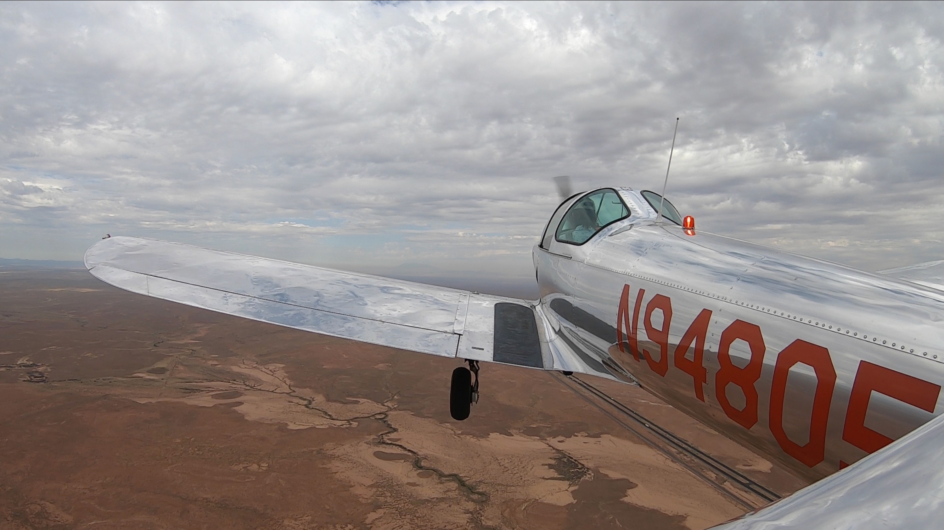
Winslow, Arizona
As I departed Winslow, my plan was to head to KGCN to overfly a bit of the main Grand Canyon. From here, the terrain looked extremely remote, with some mountains in the way, so I decided to head straight to Grand Canyon Caverns, following the road. Knowing what I know now, the best thinng would have been to go to Flagstaff, and turn North to GCN from there.
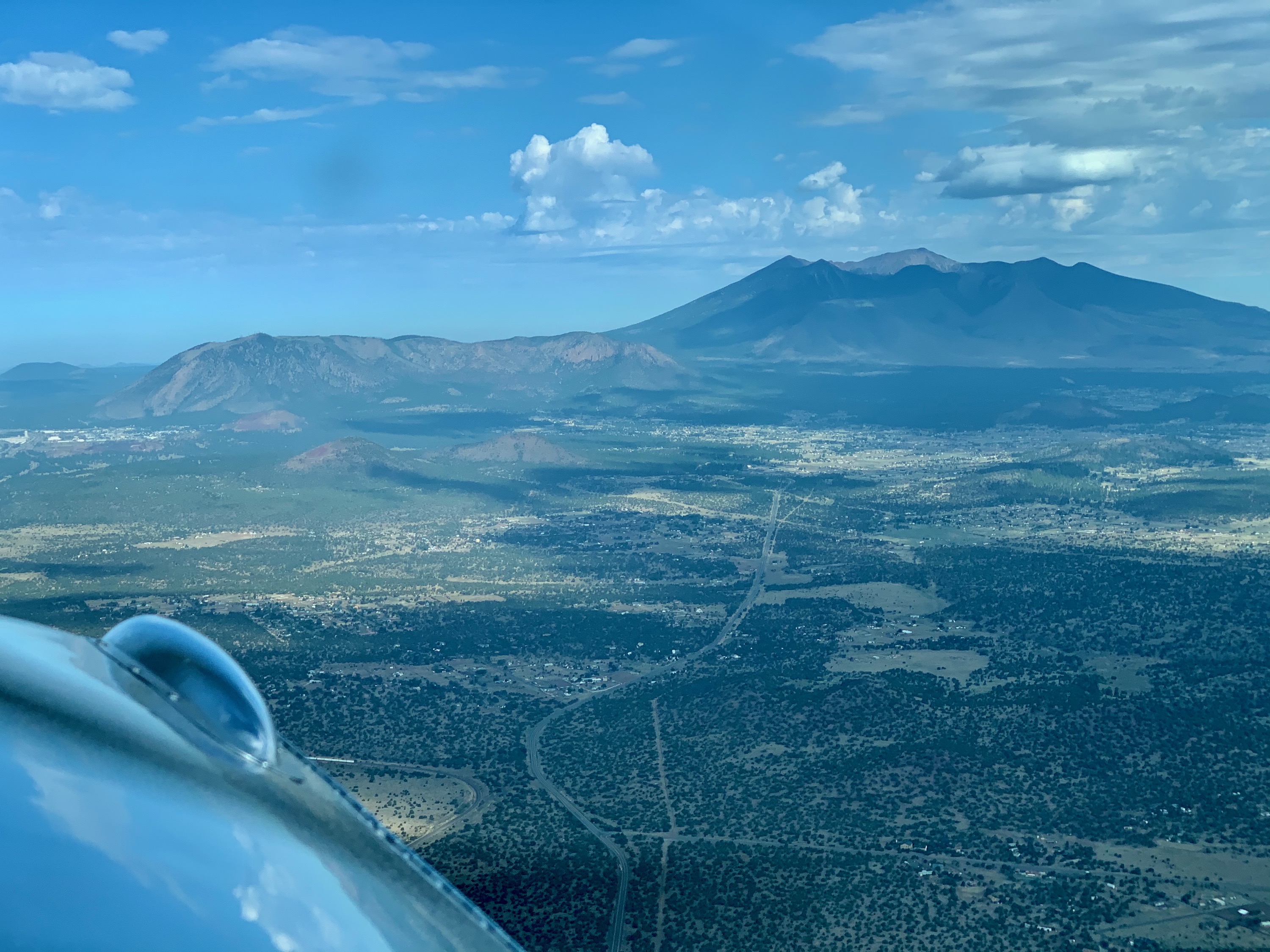
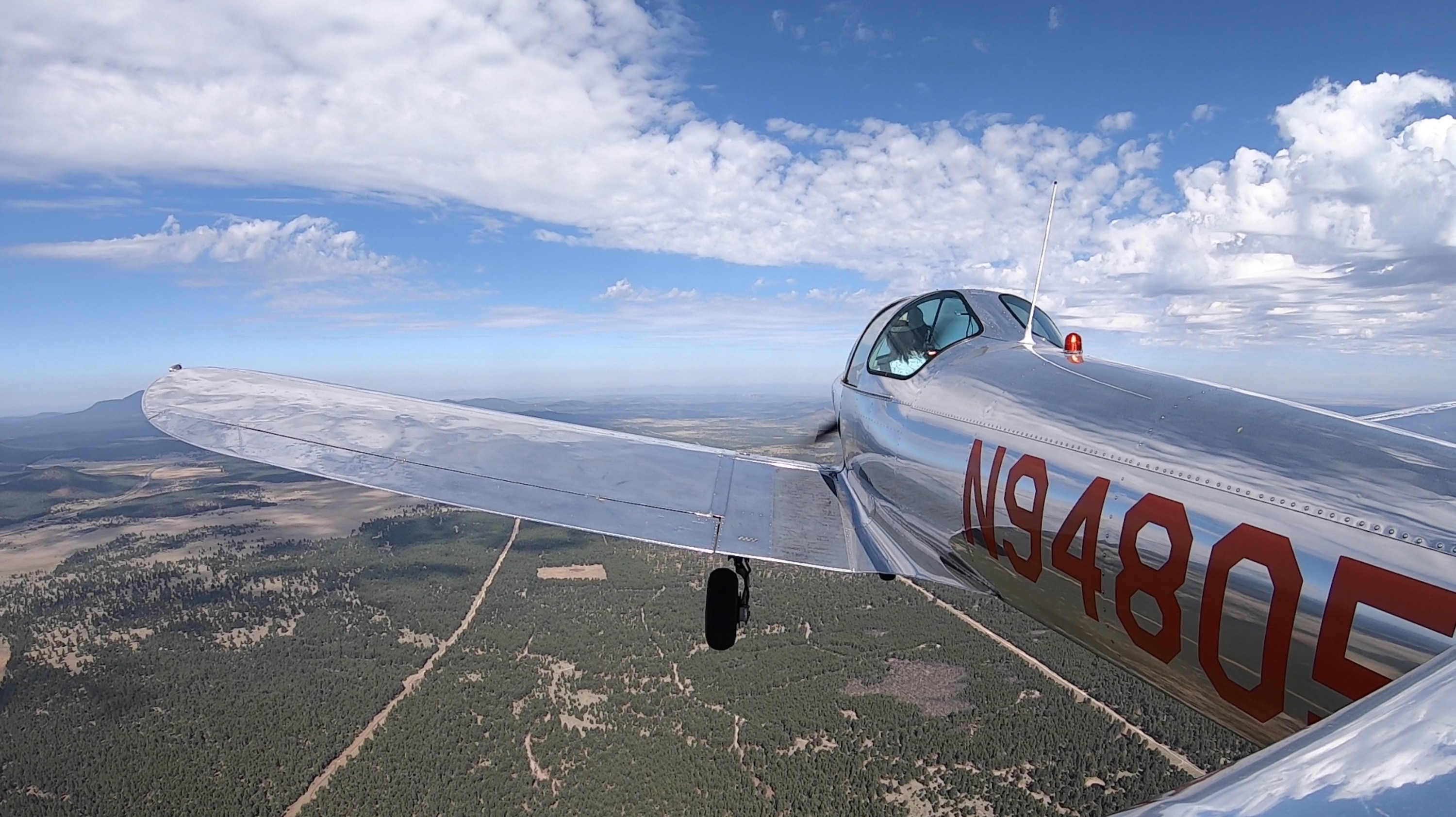
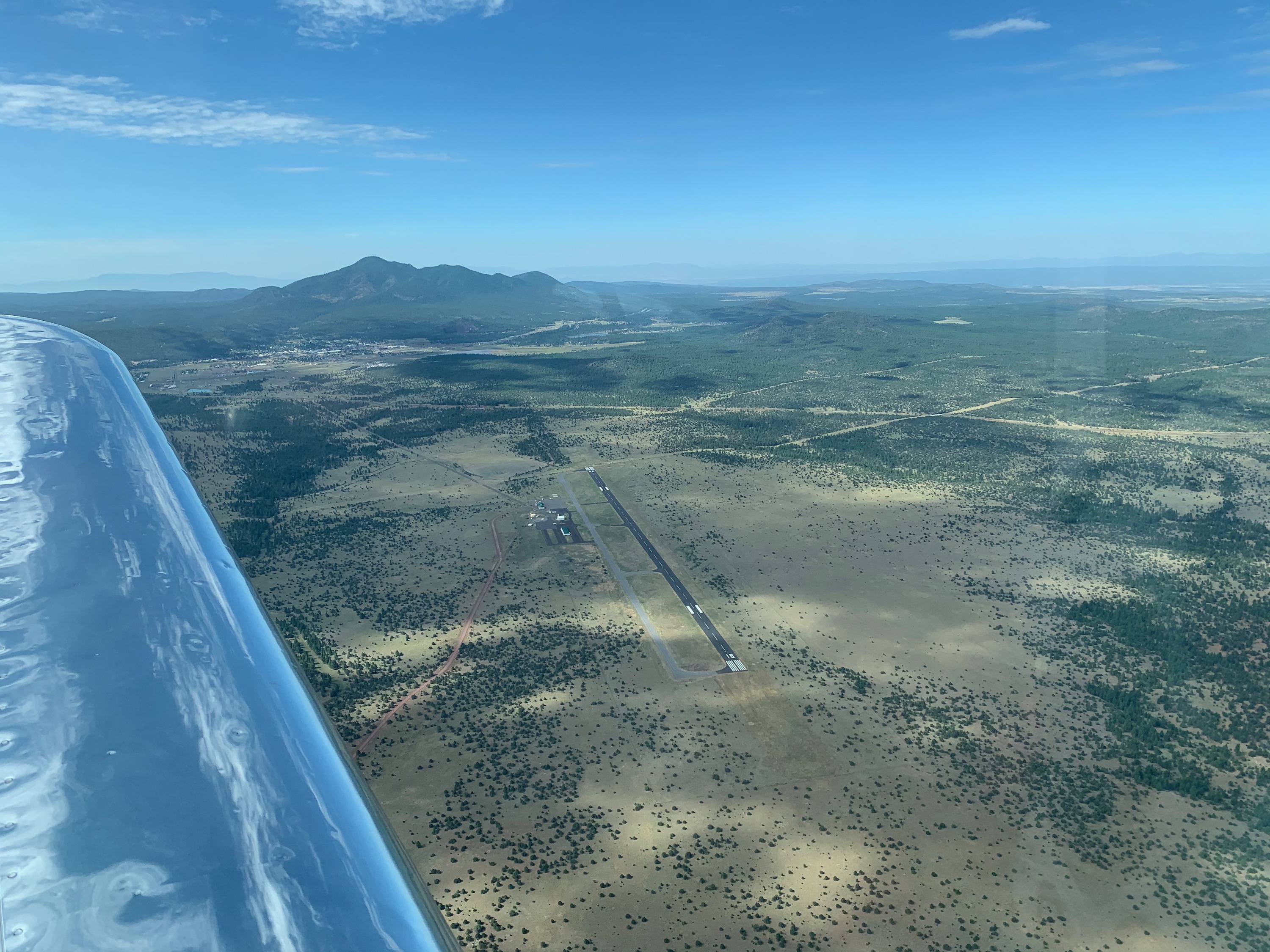
Flagstaff, Arizona
Humphreys Peak, just North of Flagstaff.
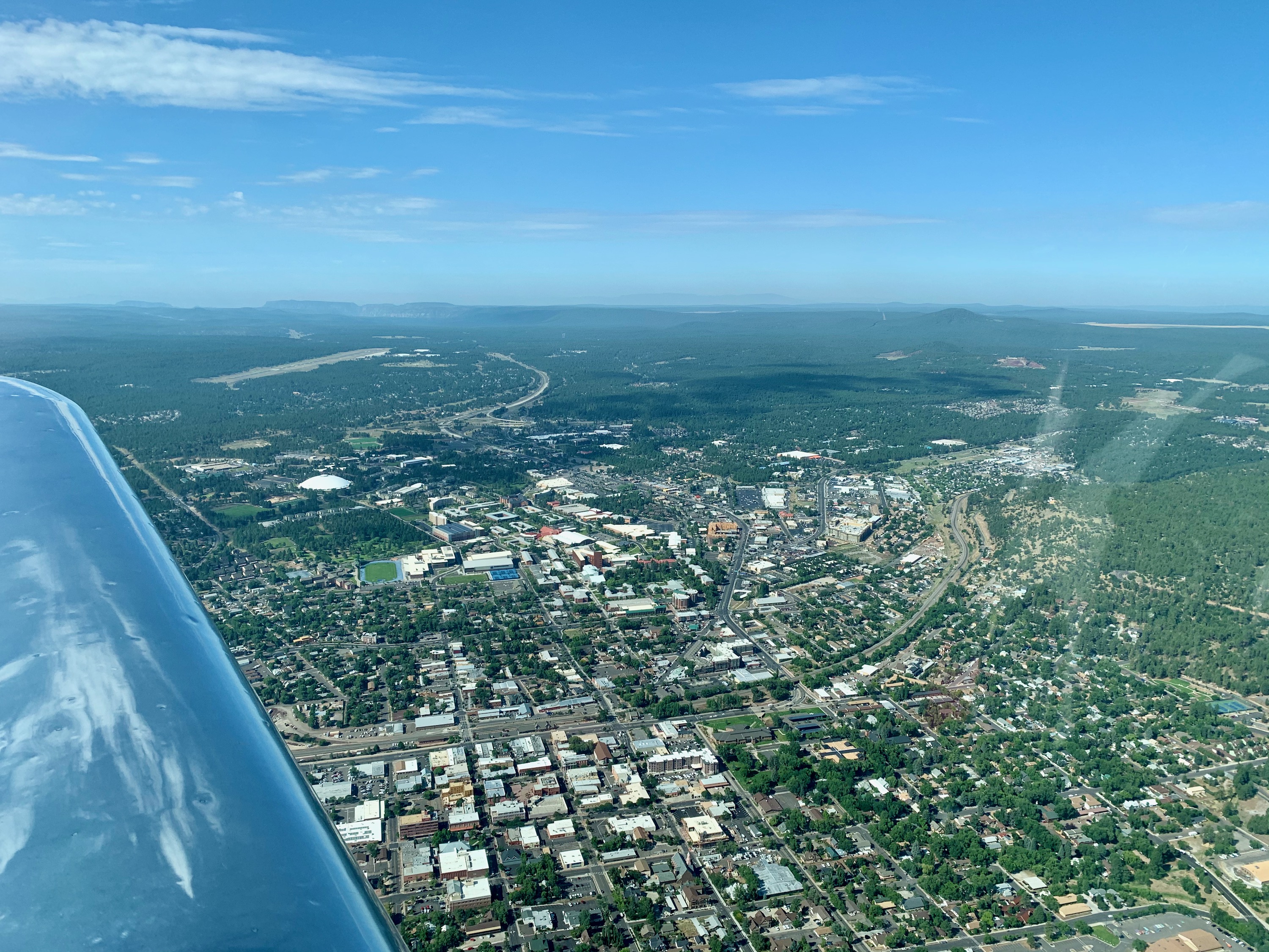
Flagstaff, Arizona
The city, and the airport in the distance.
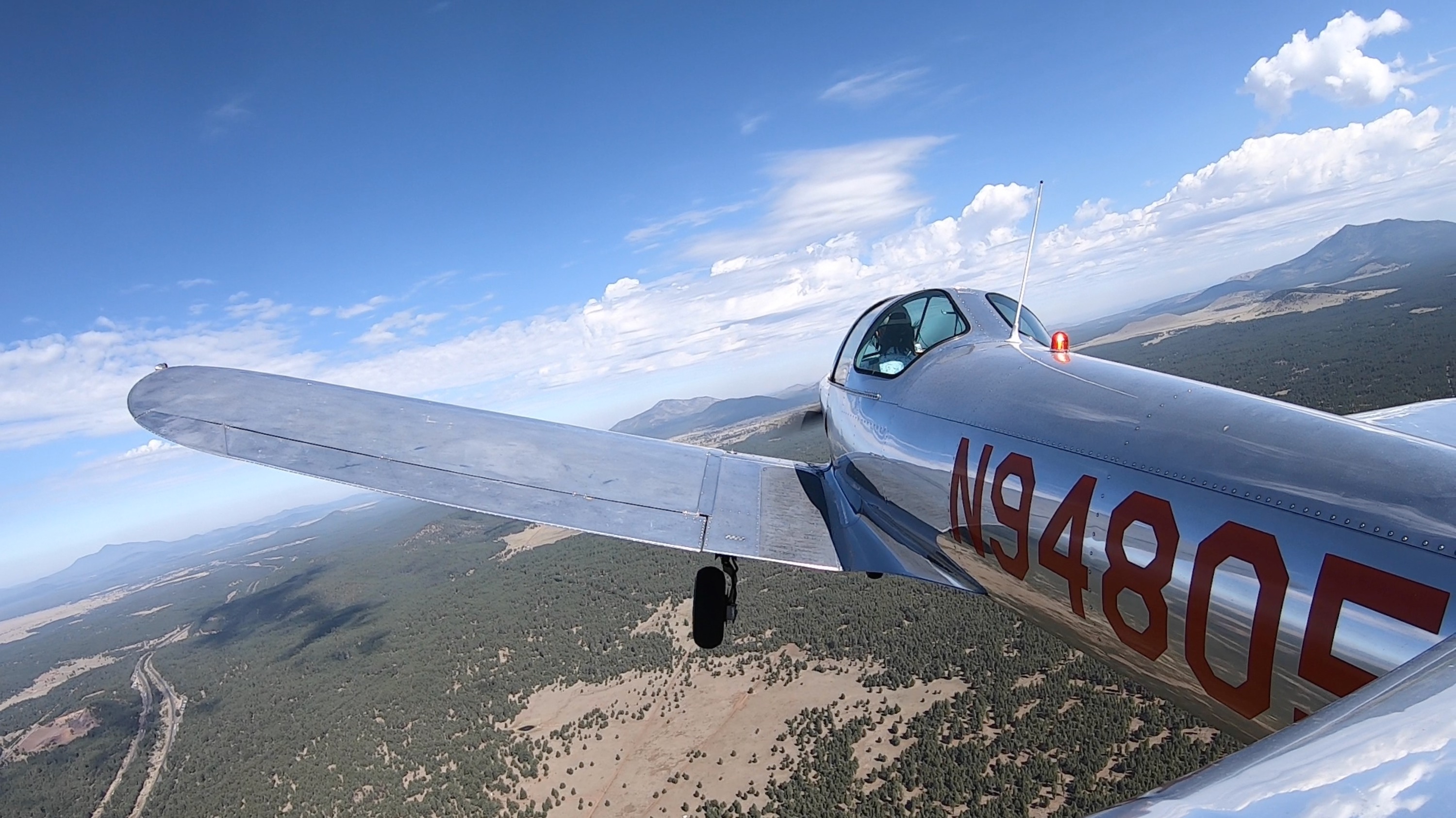
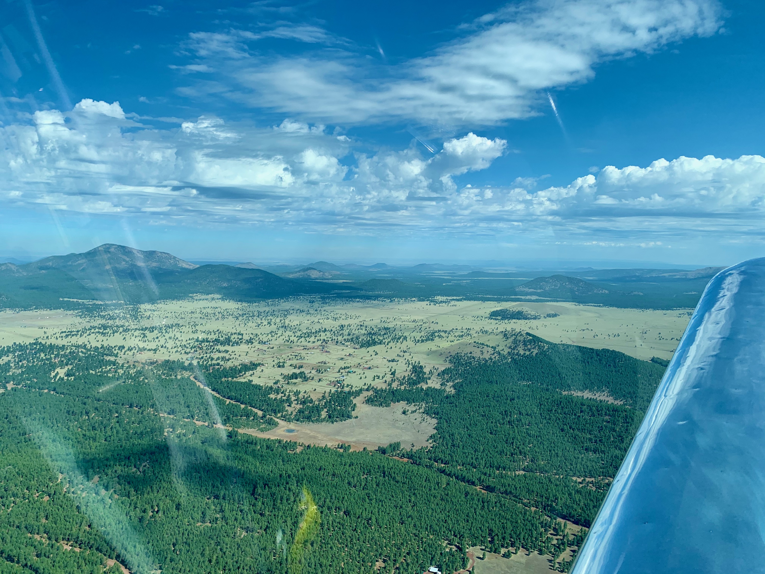
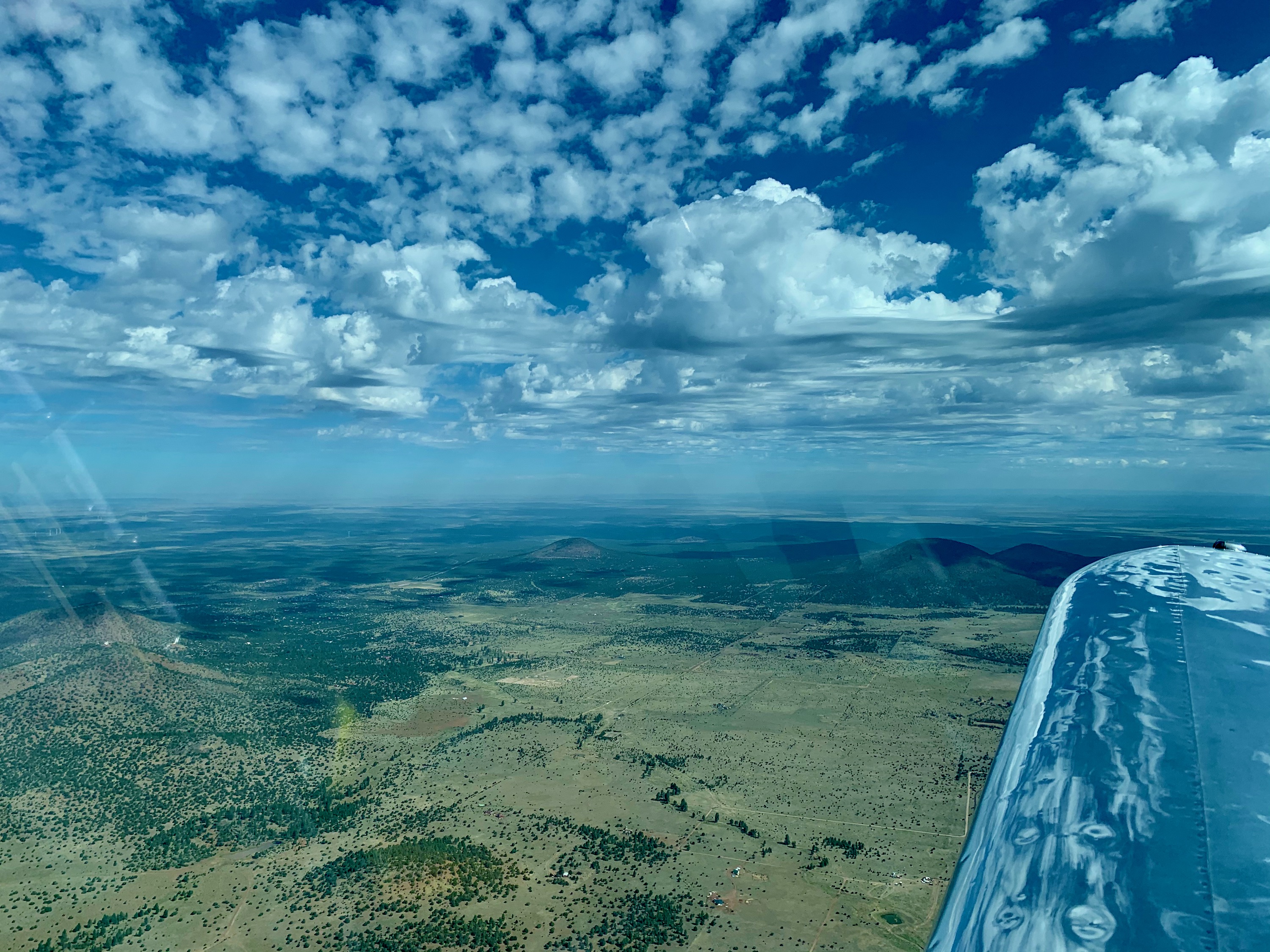
Flagstaff, Arizona
North West of Flagstaff about 30 miles. Sitgreaves Mountain, I think, in the background.
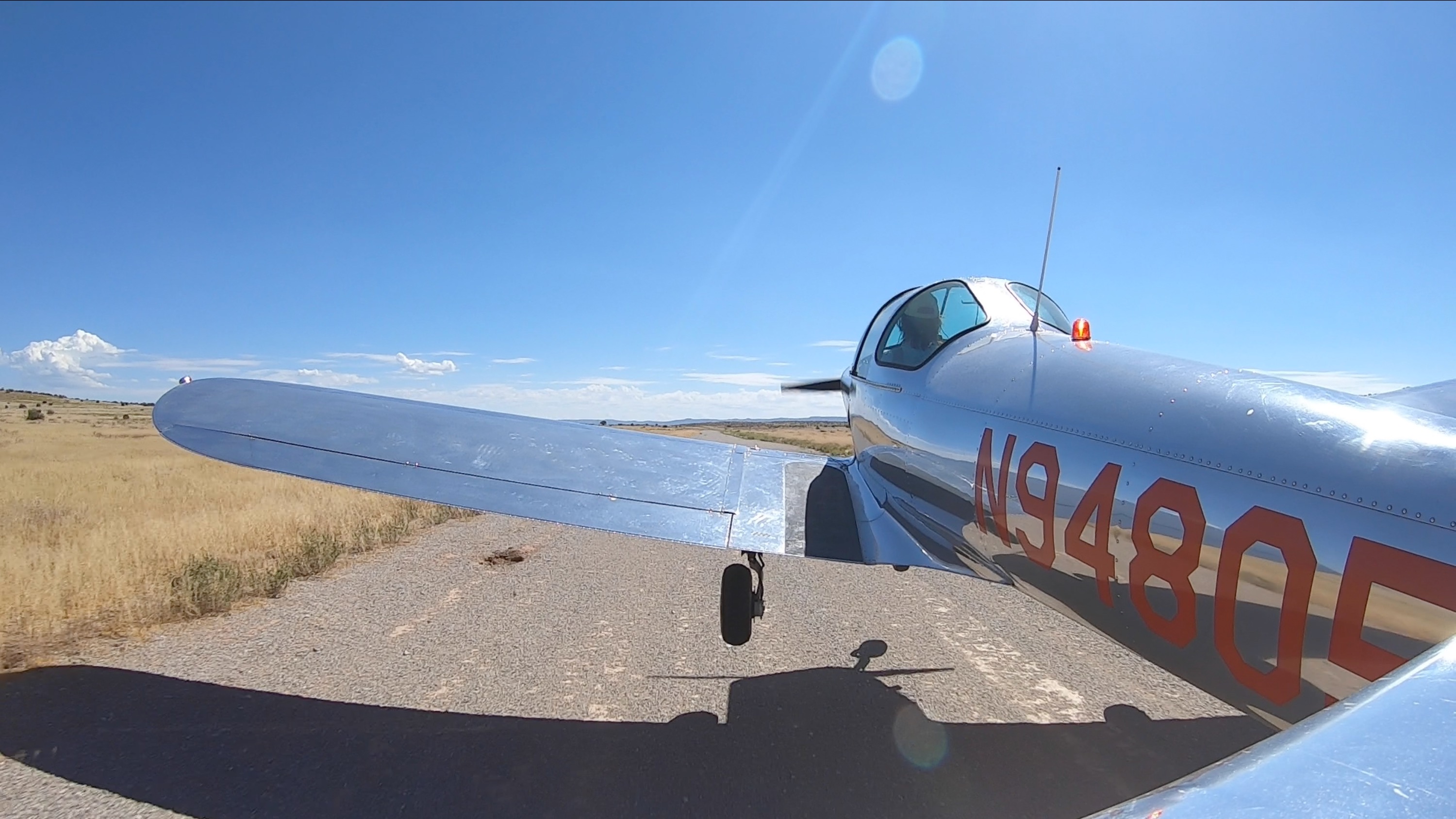
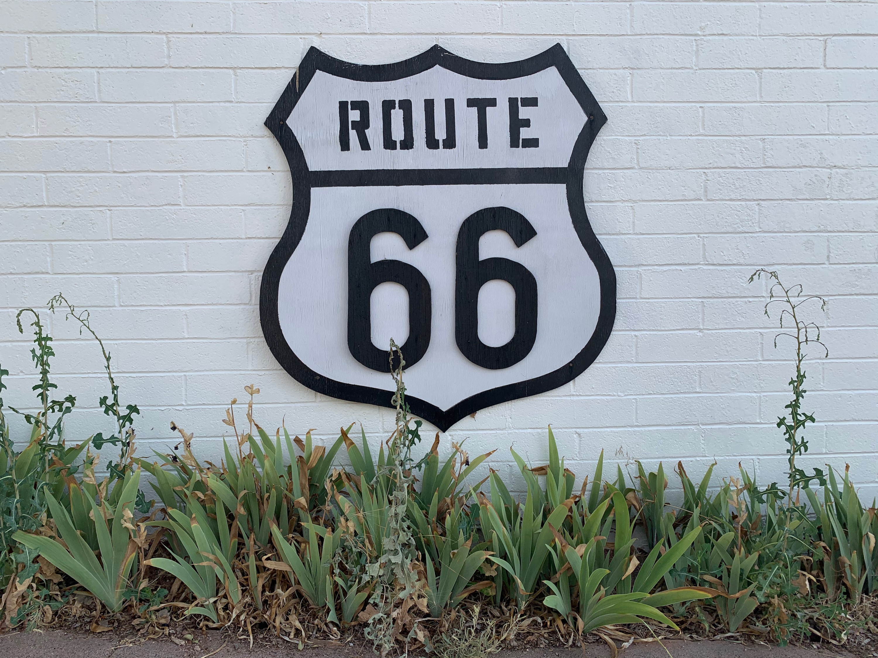
Grand Canyon Caverns
Landing on the gravel strip. 5,000' long, nice smooth and flat condition, although tall spinidly weeds are starting to grow on the North quarter.
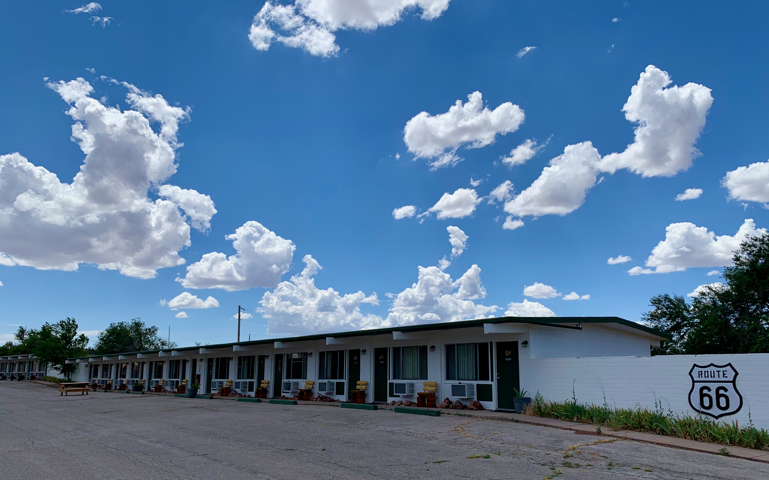
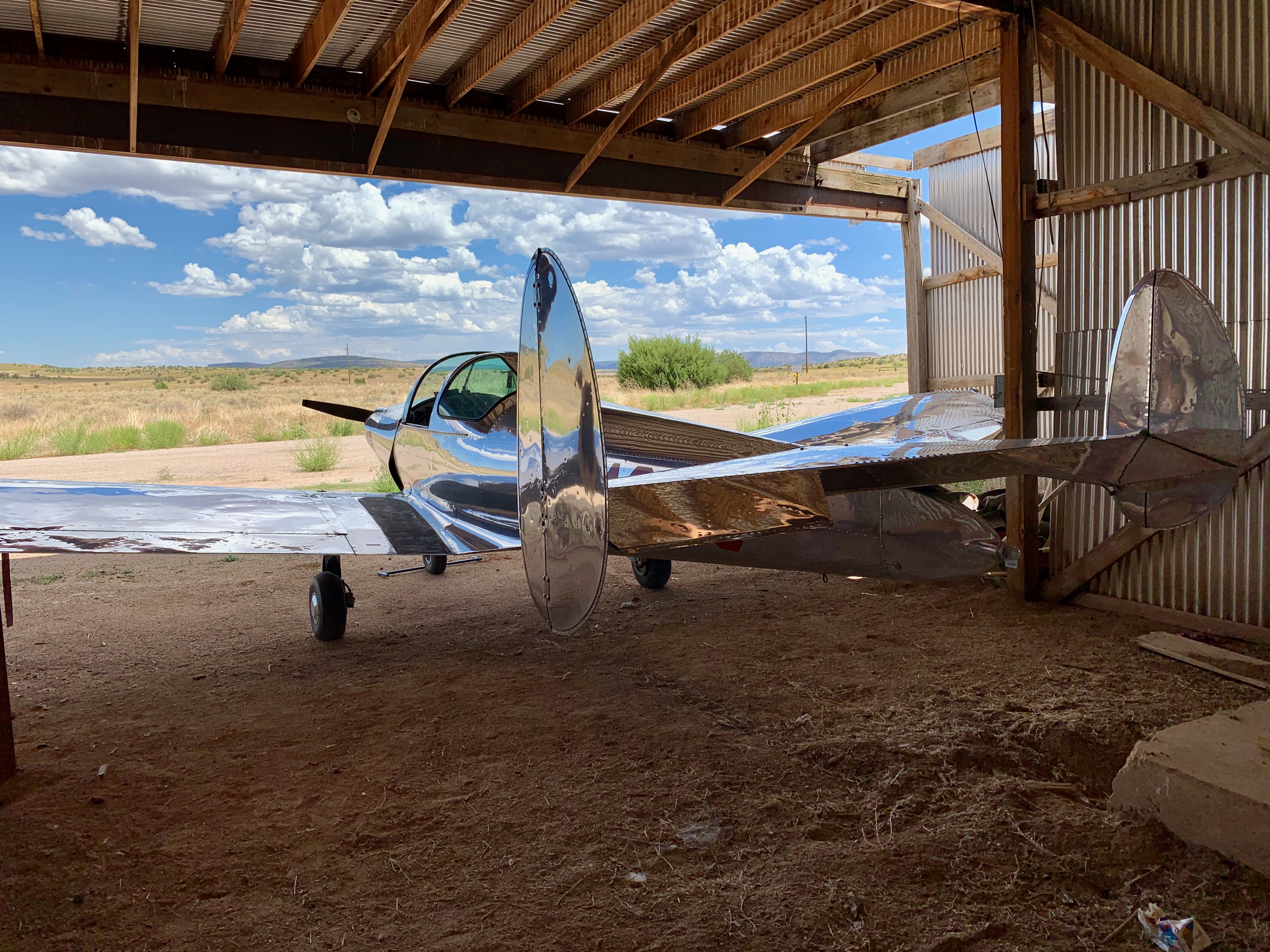
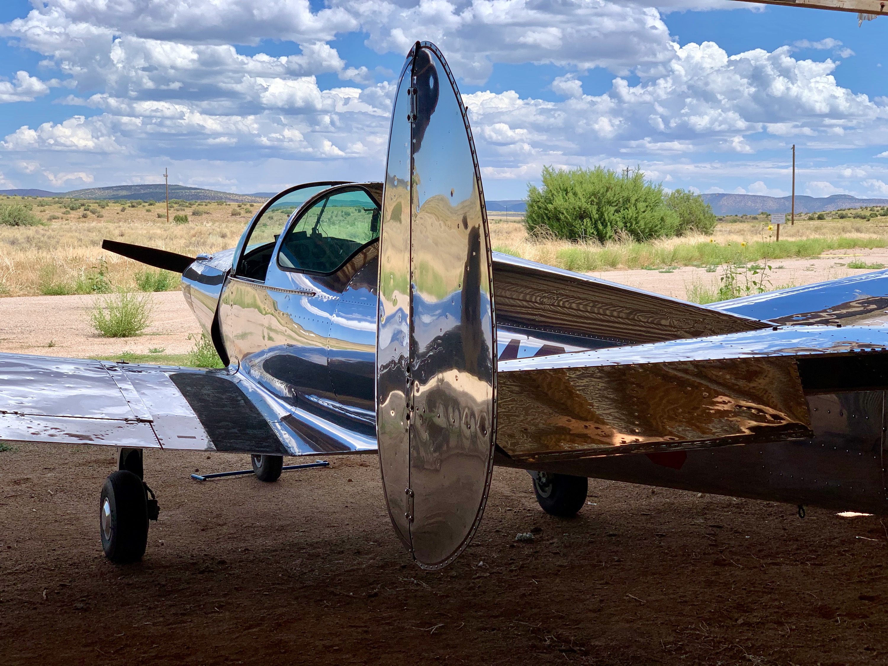
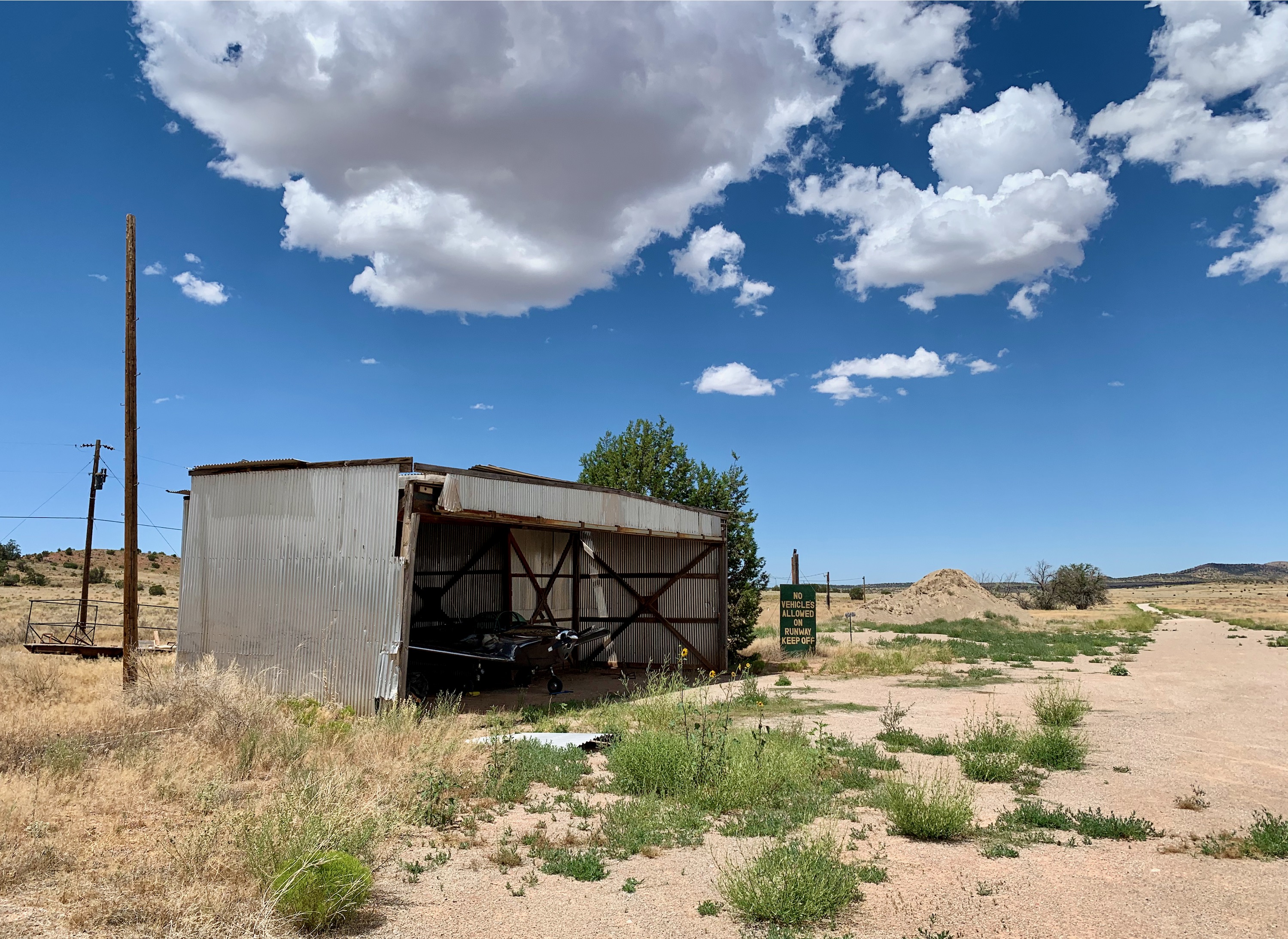
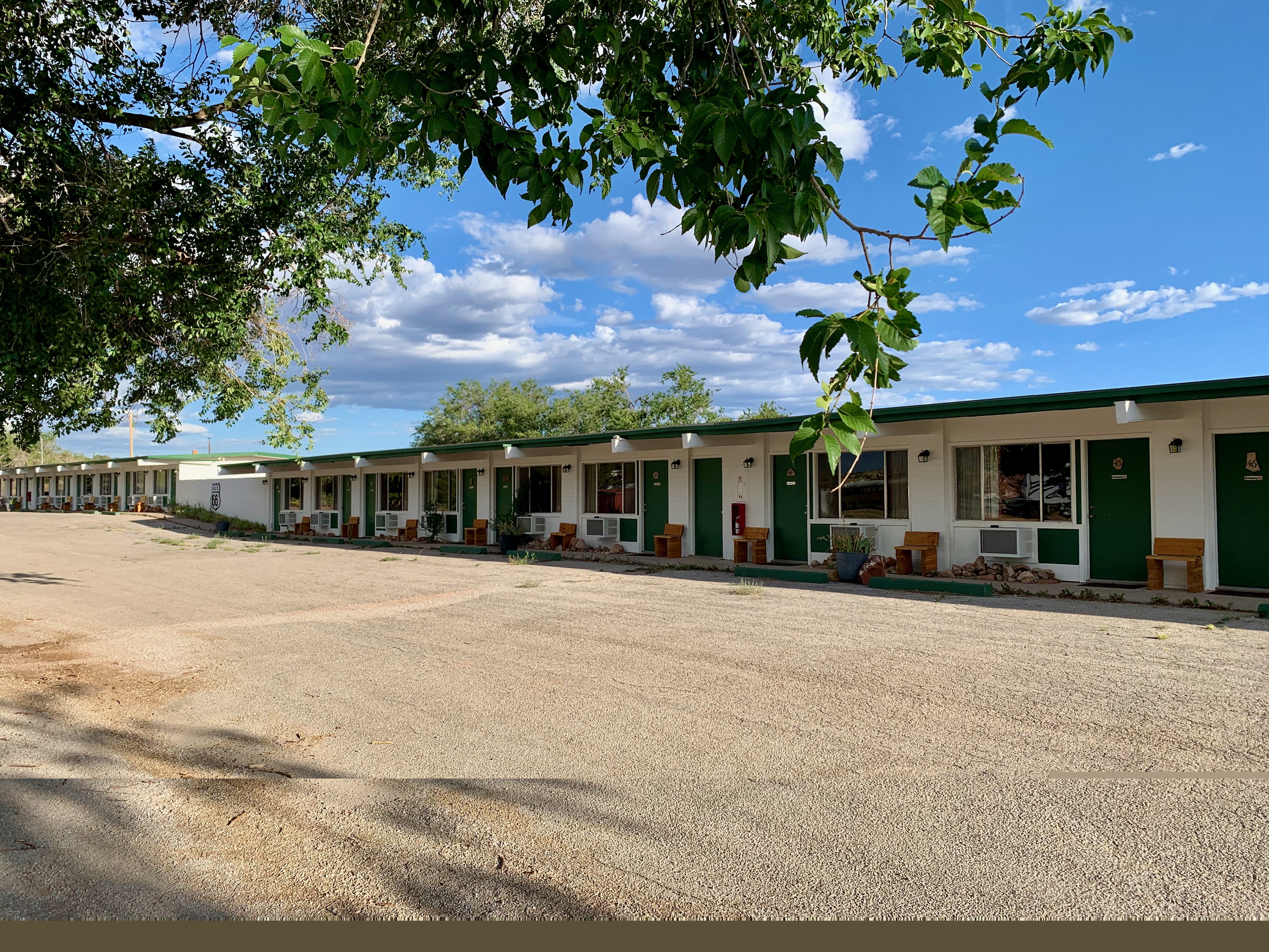
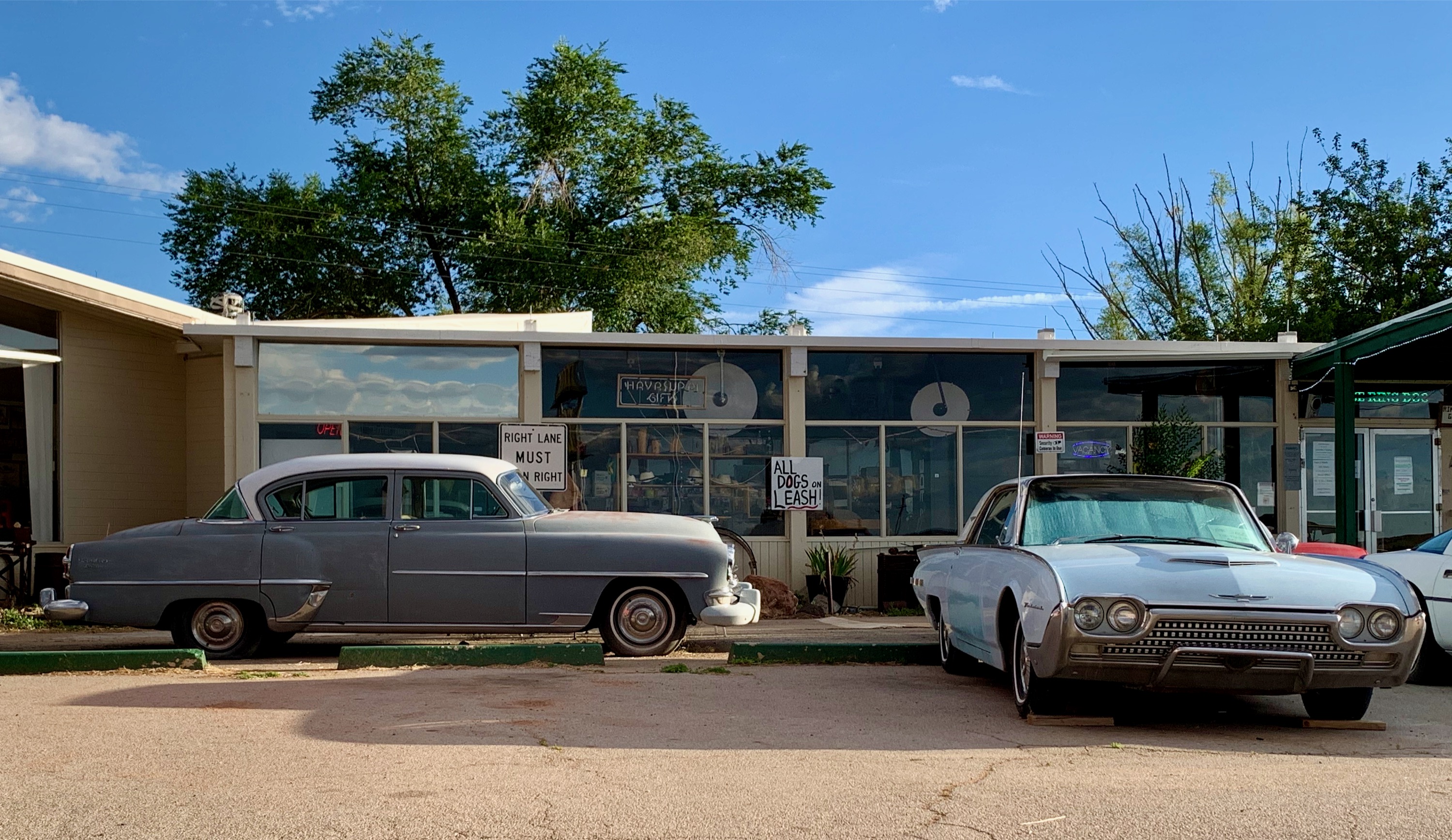
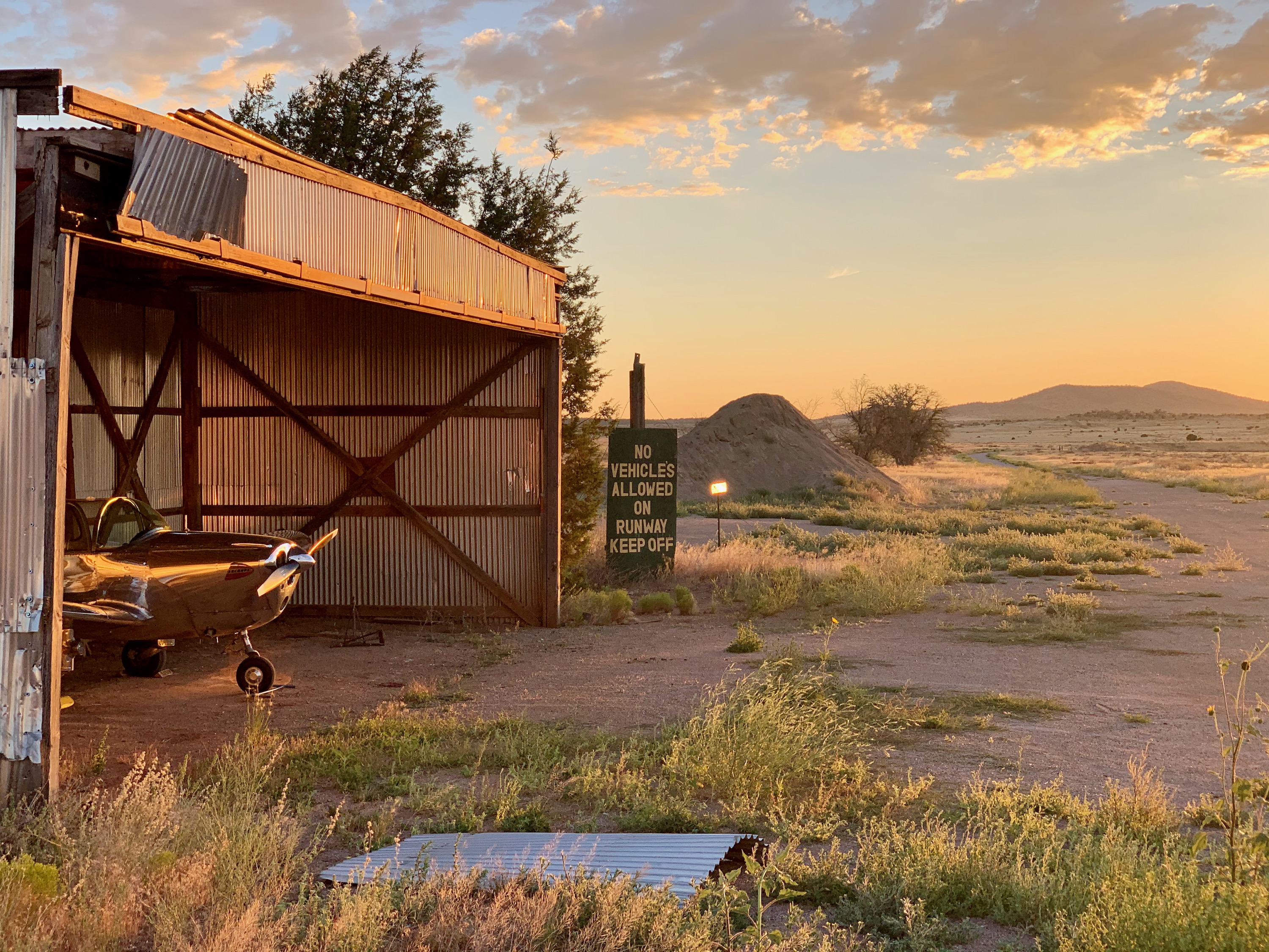
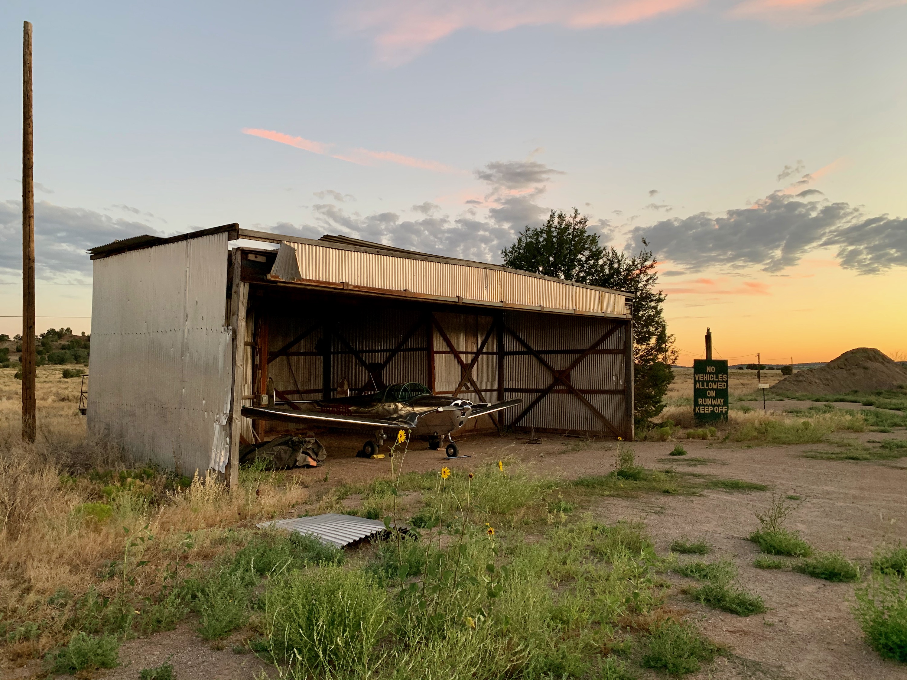
Grand Canyon Caverns, Arizona
Love this old hangar. I put the aircraft in there, then asked at the front desk of the motel if I could use it; they said yes!
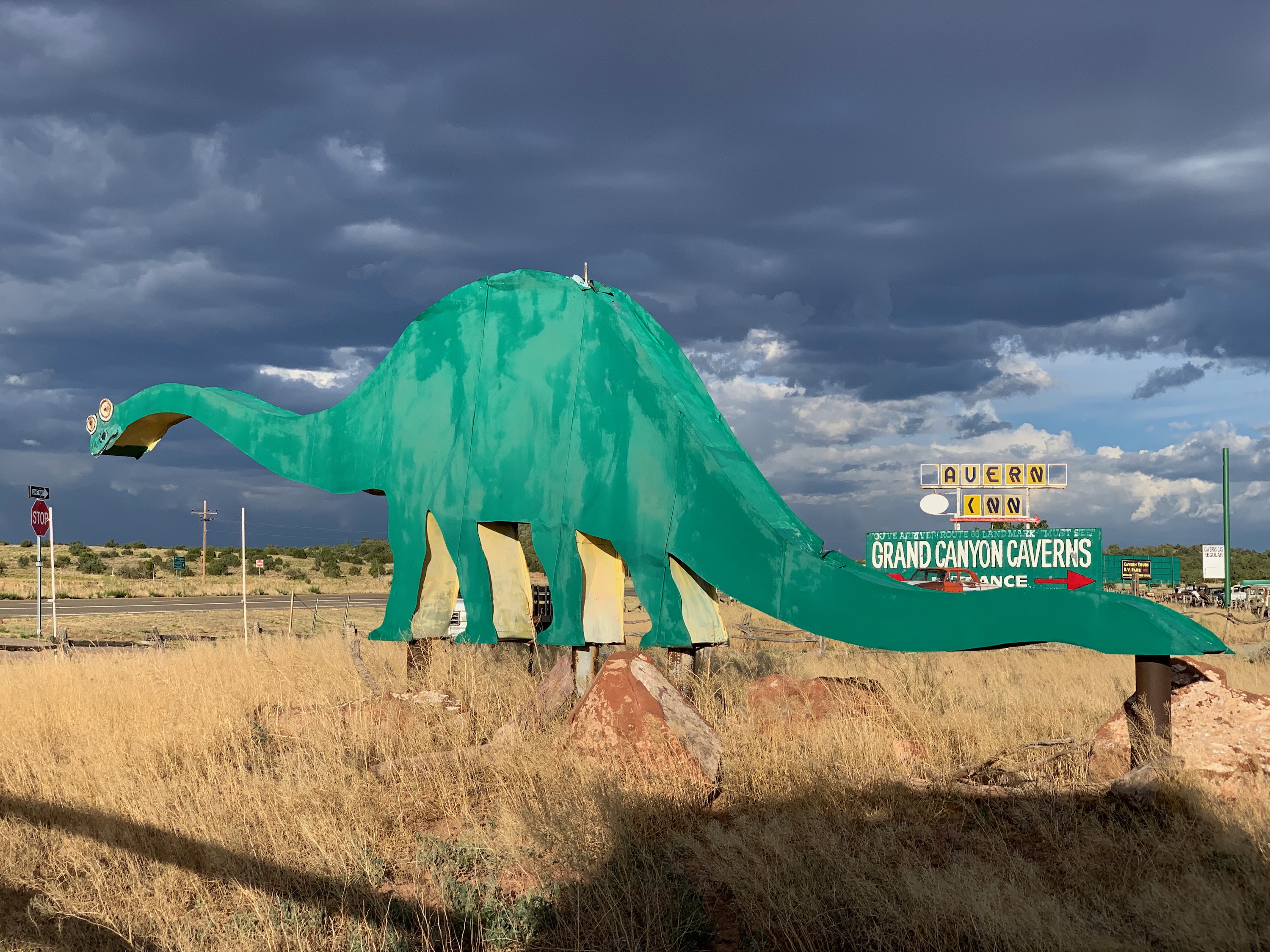
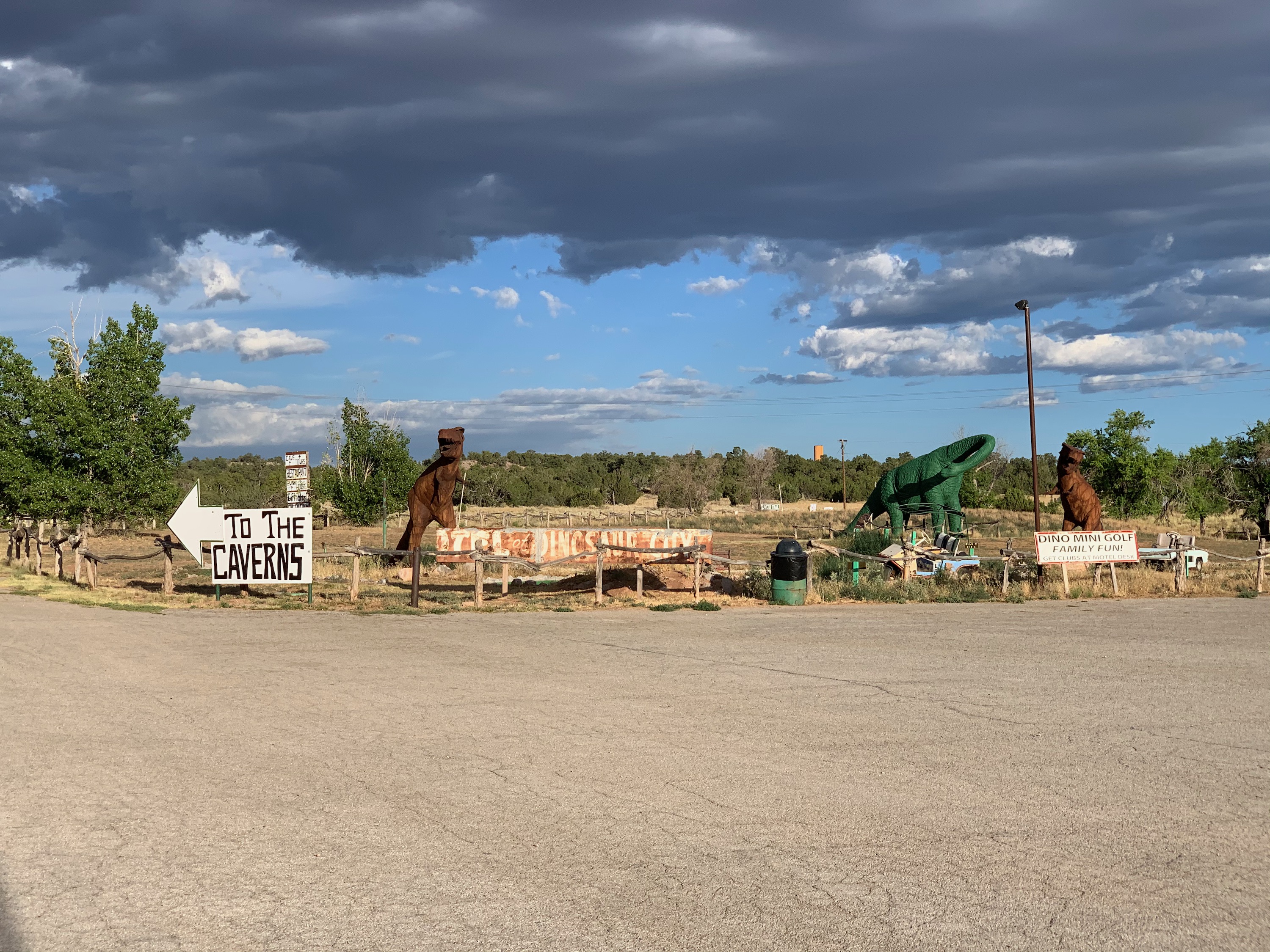
Grand Canyon Caverns, Arizona
Every road side attraction needs a dinosaur!
Grand Canyon Caverns, Arizona
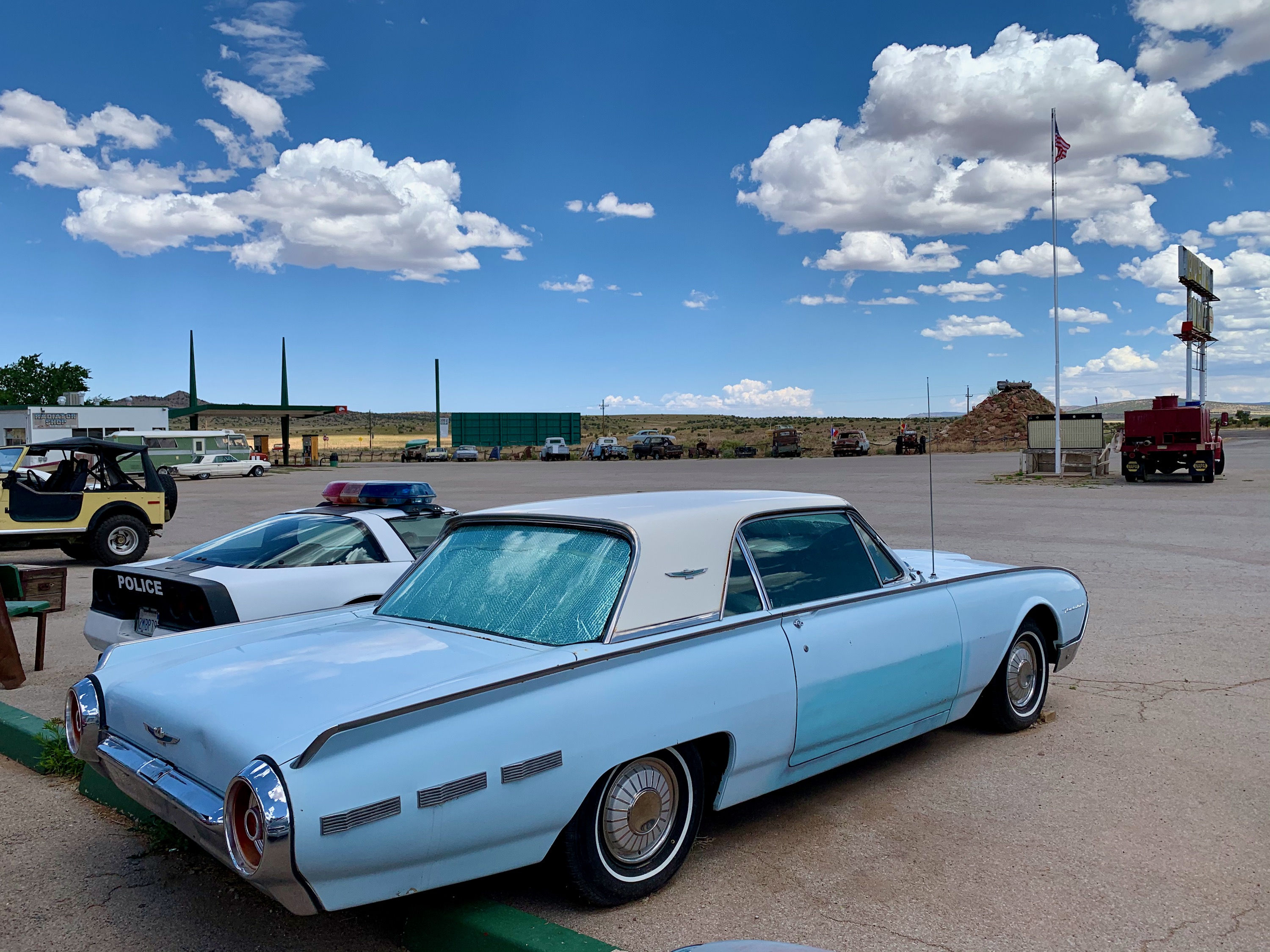
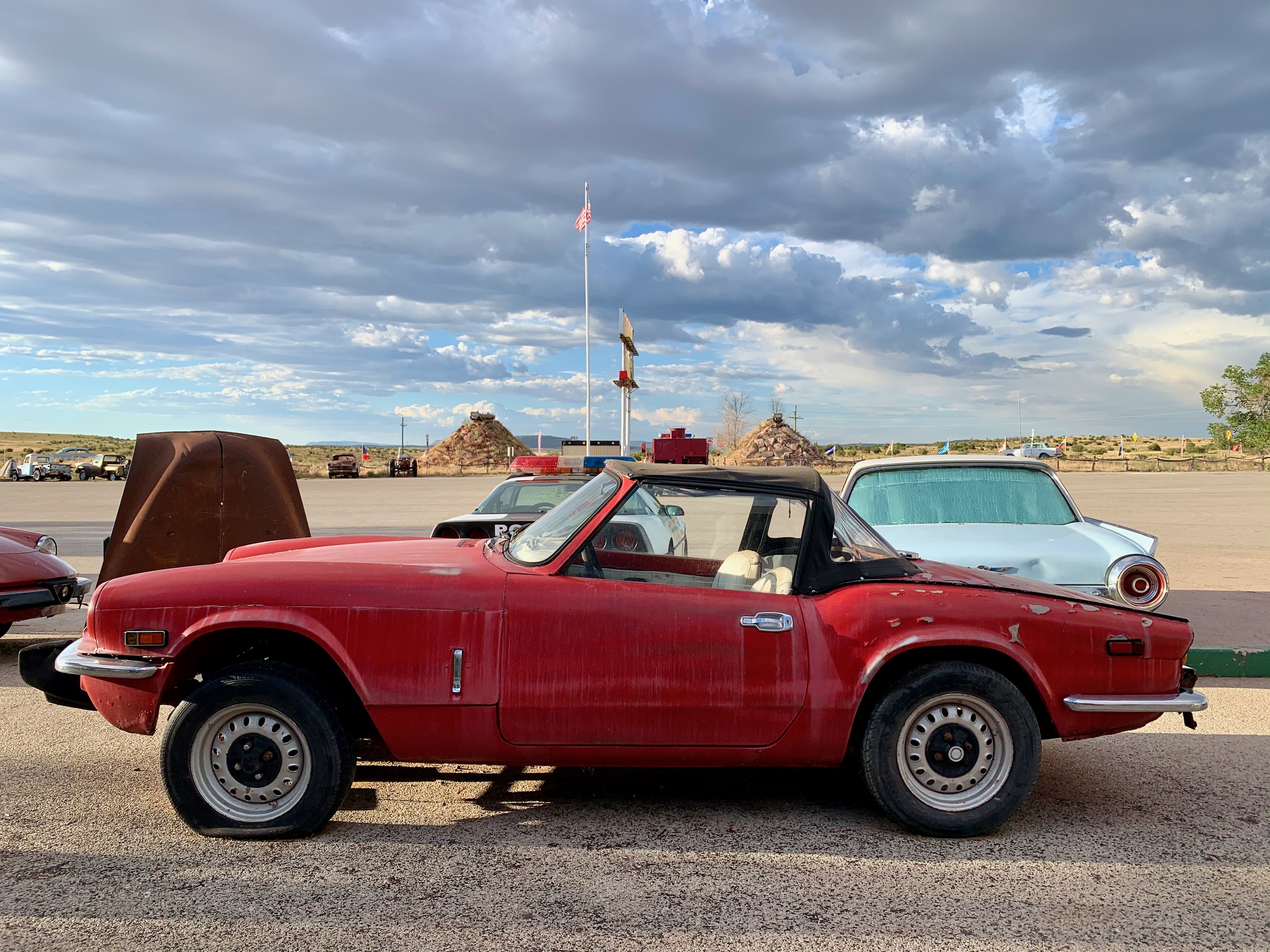
Spitfire
Triumph Spitfire, love these!
Grand Canyon Caverns, Arizona
05:20 about to depart.
Grand Canyon Caverns
An aerial view of the strip, after departure. Departure was no problem I was off well before the half way point, and climb out was pretty good (400fpm).
Kingman Airport, Arizona
Was going to get fuel here, but decided to go a bit further to Sun Valley, A20.
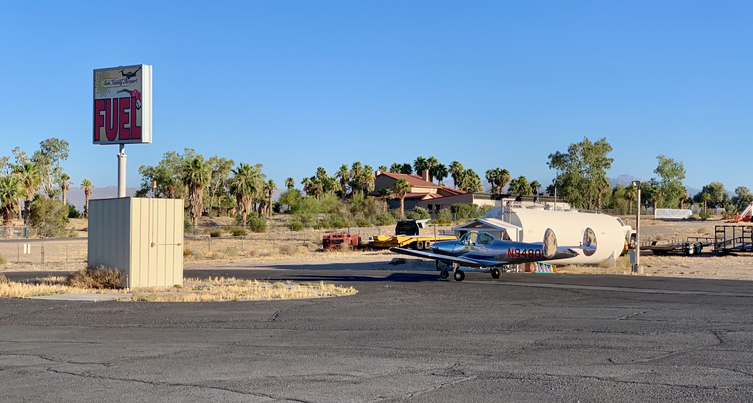
Sun Valley Airpark, Arizona
A good fuel stop, although it was prerty hot already at 06:45. This was very low elevation (745'), so, hotter.
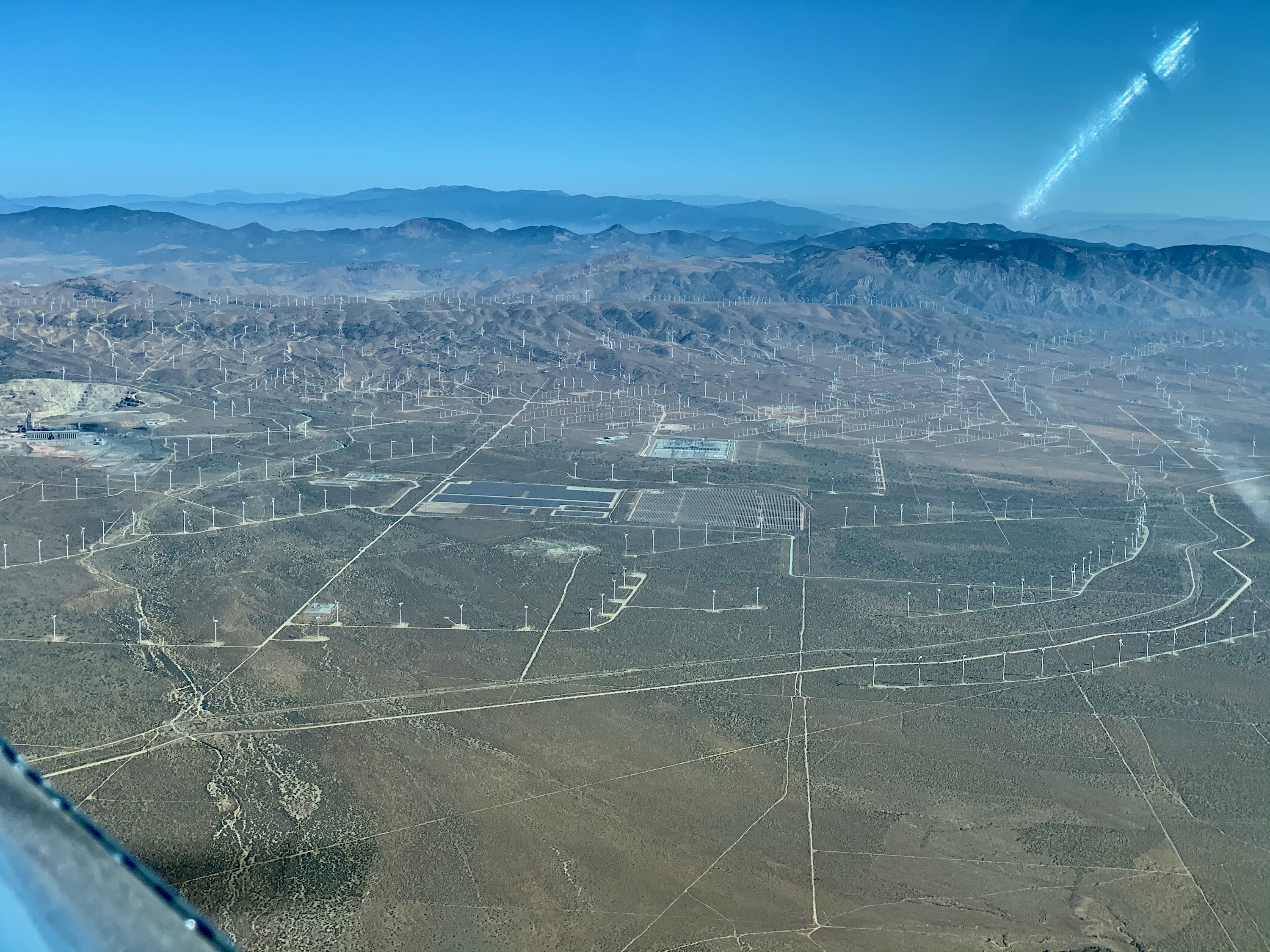
Approaching Tehachapi
Wind turbines, part of the Tehachapi Pass wind farm. This was one of the earliest US wind farms.
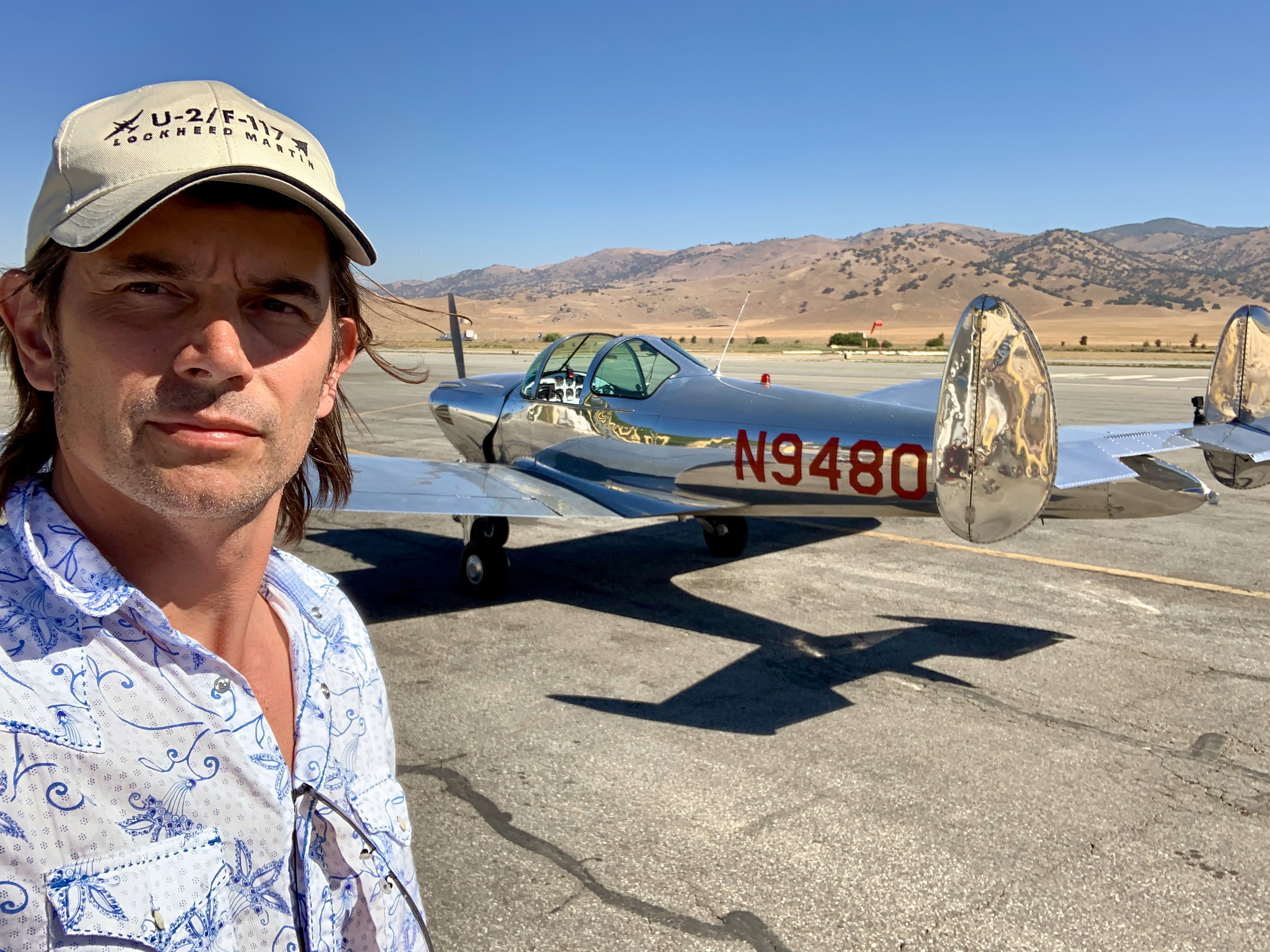
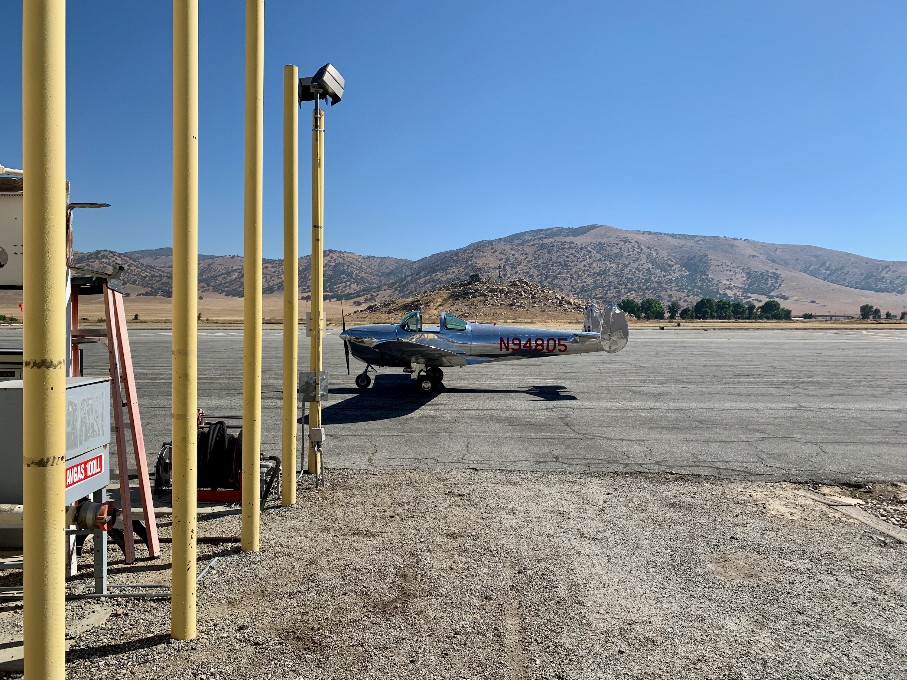
Tehachapi, Caliifornia
Tehachapi is always a good stop for fuel, and seeing friends. Friends were at work today, though!
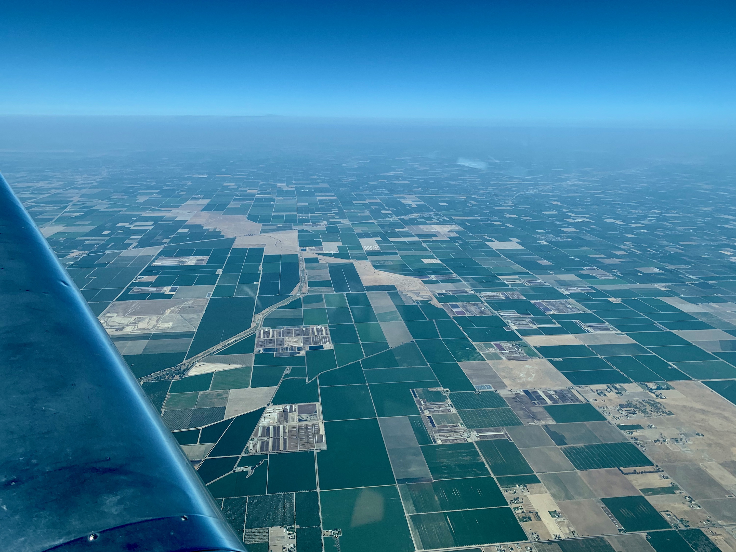
Central Valley, California
Heading home, North up the Central Valley. I decided to go high, 10,500', for best winds. Very smooth, and made good progress, sipping fuel.
Columbia, California
Columbia, from 10,500'. I don't normally see it from this high.
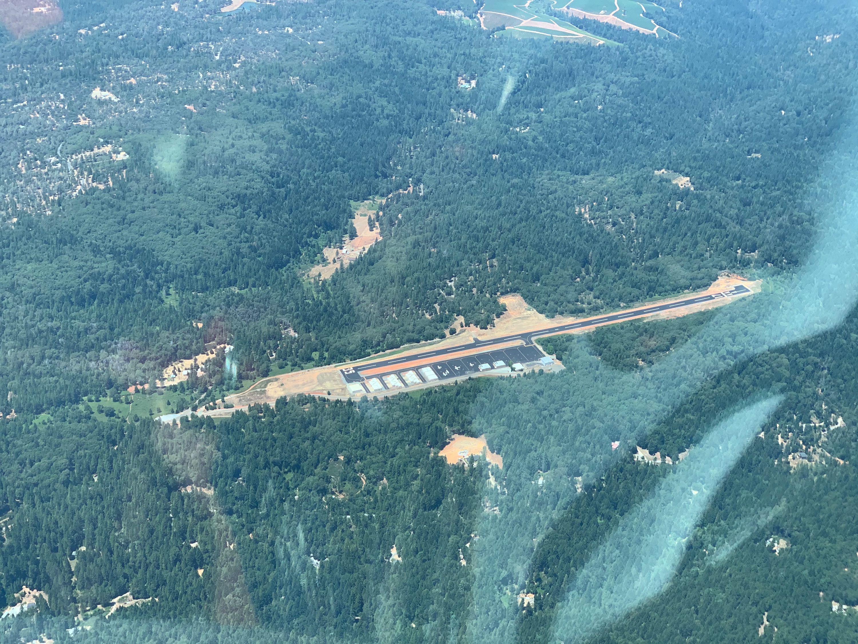
Georgetown, California
We (the whole family) camped there a few weeks ago, great location. No one at the campsite today.
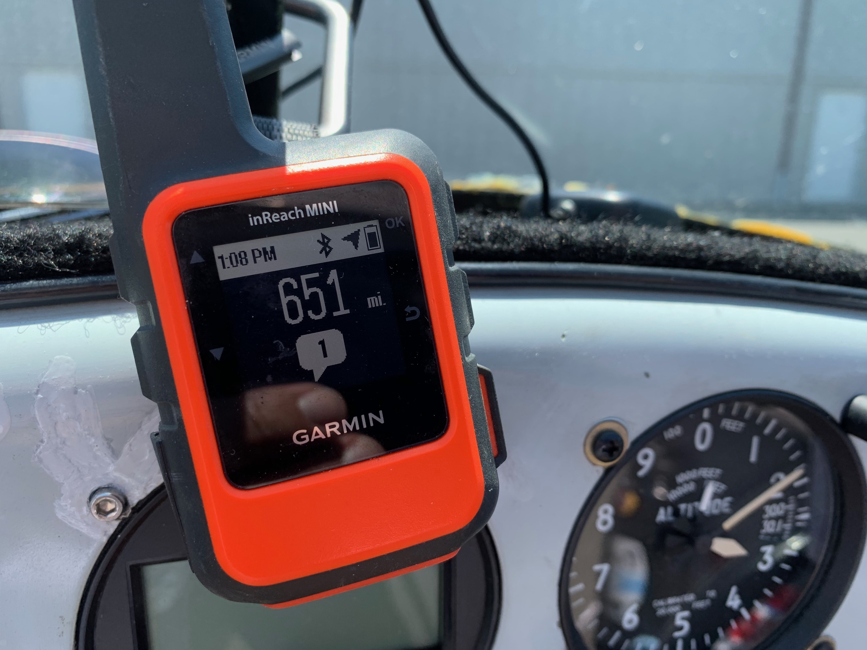
Garmin InReach Satelite Tracker
651 miles on the last day.
Home!
2,500 miles later (exactly!), I was back home.